© Alpbachtal - Sandrine Stock

© Alpenvereinactiv.com | Michael Larcher - Michael Larcher

© Alpenvereinactiv.com | Michael Larcher - Michael Larcher
© Alpenvereinactiv.com | Michael Larcher - Michael Larcher
© Alpenvereinactiv.com | Michael Larcher - Michael Larcher
© Alpbachtal - Sandrine Stock

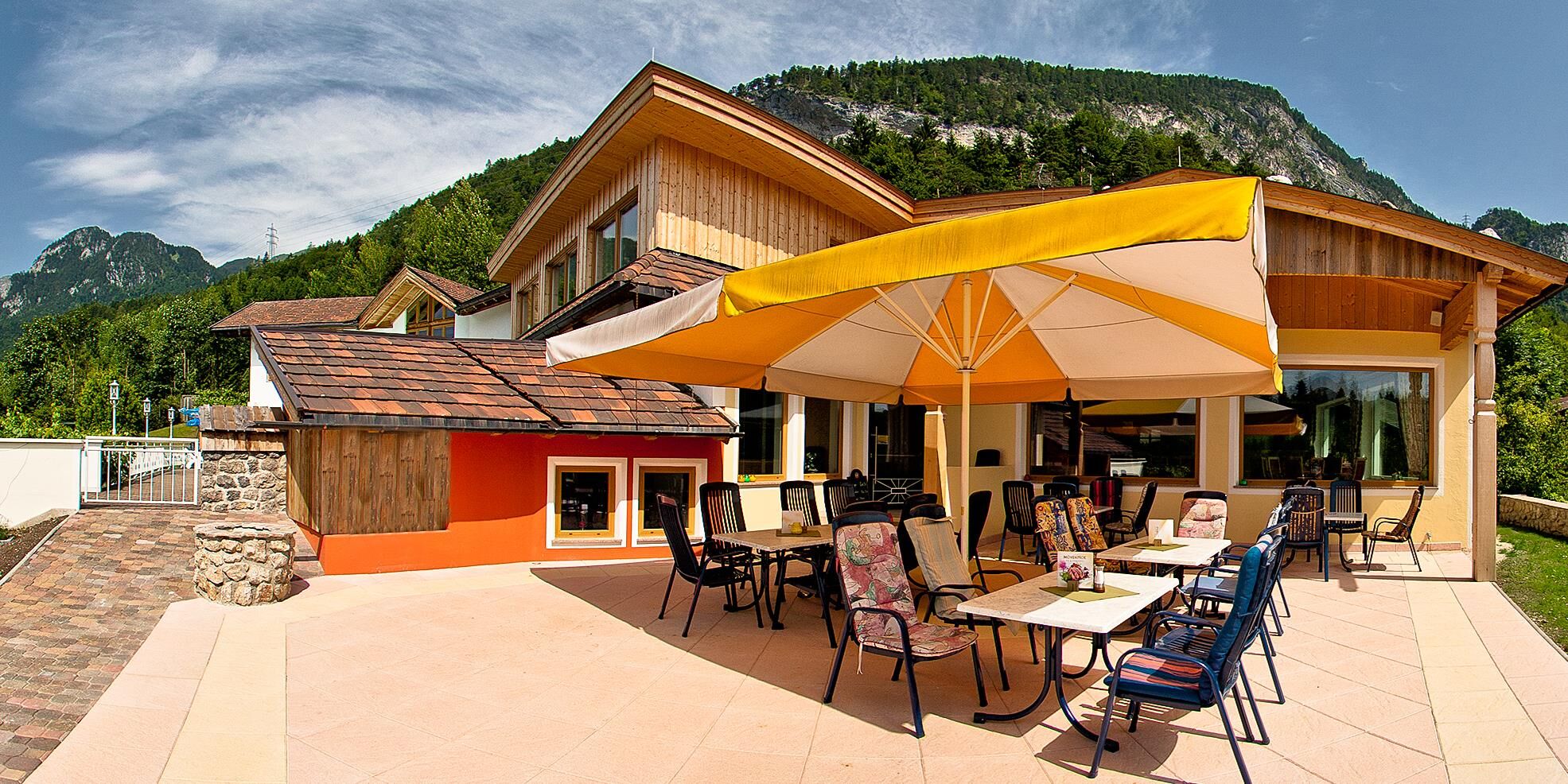
© Fischerstube
© Alpbachtal Seenland Tourismus / Sedlak Matthias
© Alpbachtal Tourismus | Bernhard Berger - Bernhard Berger

© Fischerstube


- Brève description
-
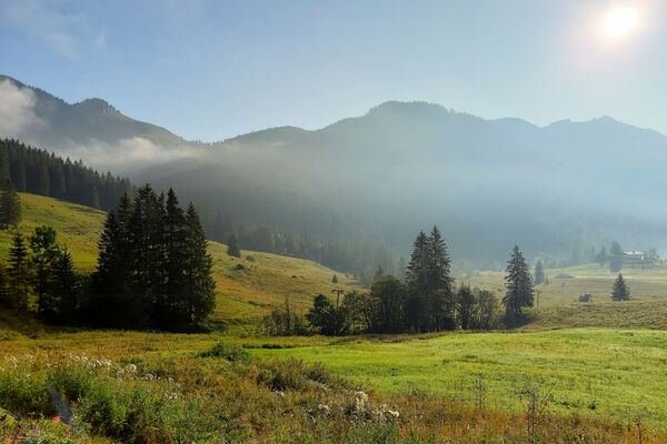
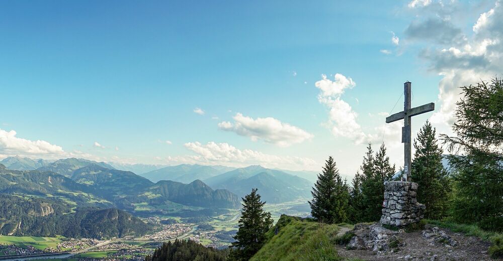
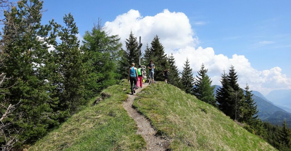
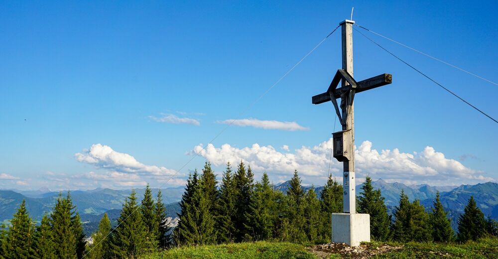
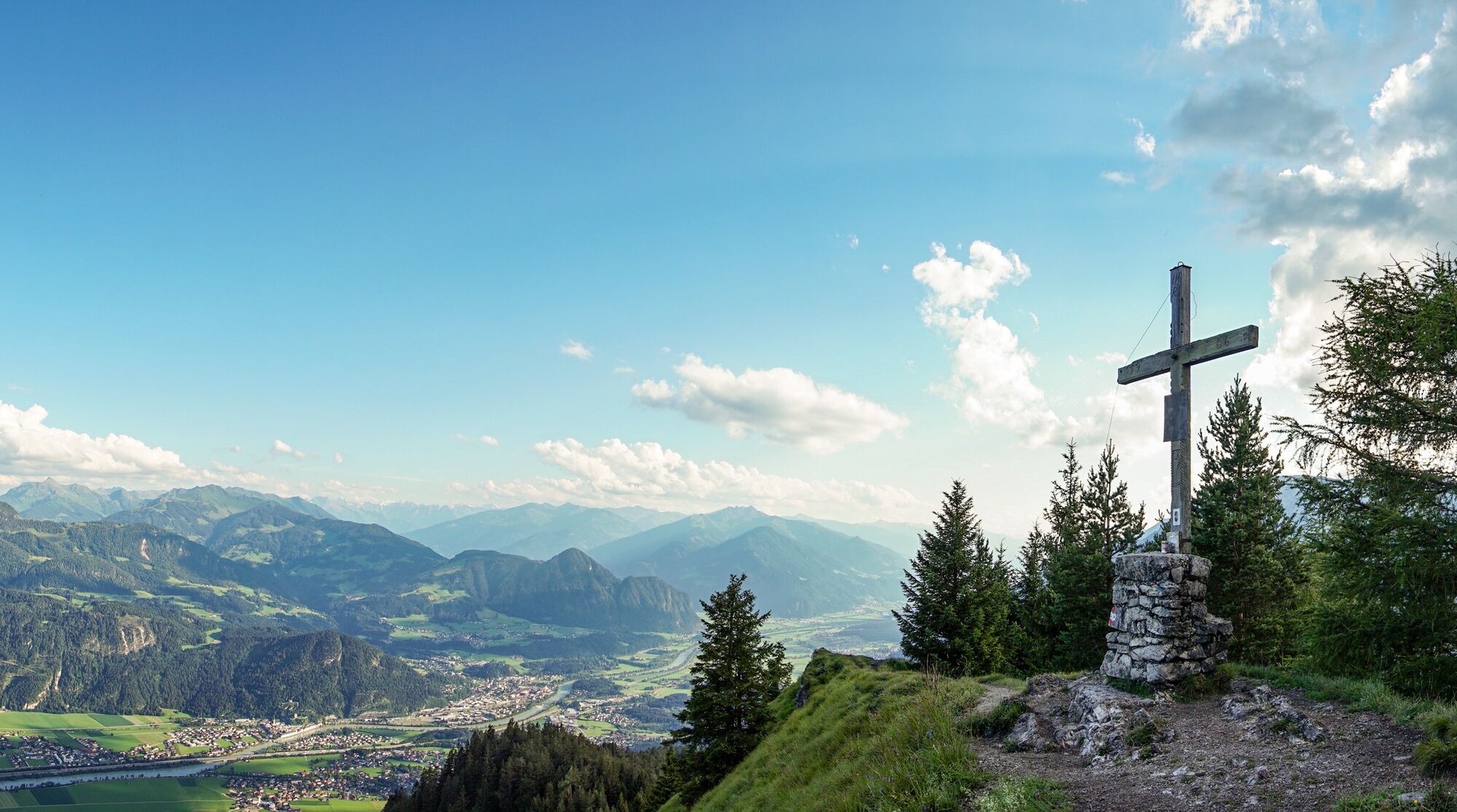
Demanding hike with significant elevation gain. From Kramsach to the Voldöpper Spitze. The descent leads via the Heumösernalm, Lake Berglstein, Lake Reintal back to the starting point.
- Difficulté
-
moyen
- Évaluation
-
- Parcours
-
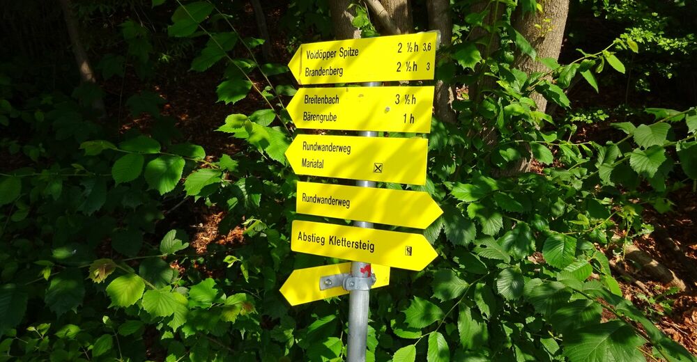
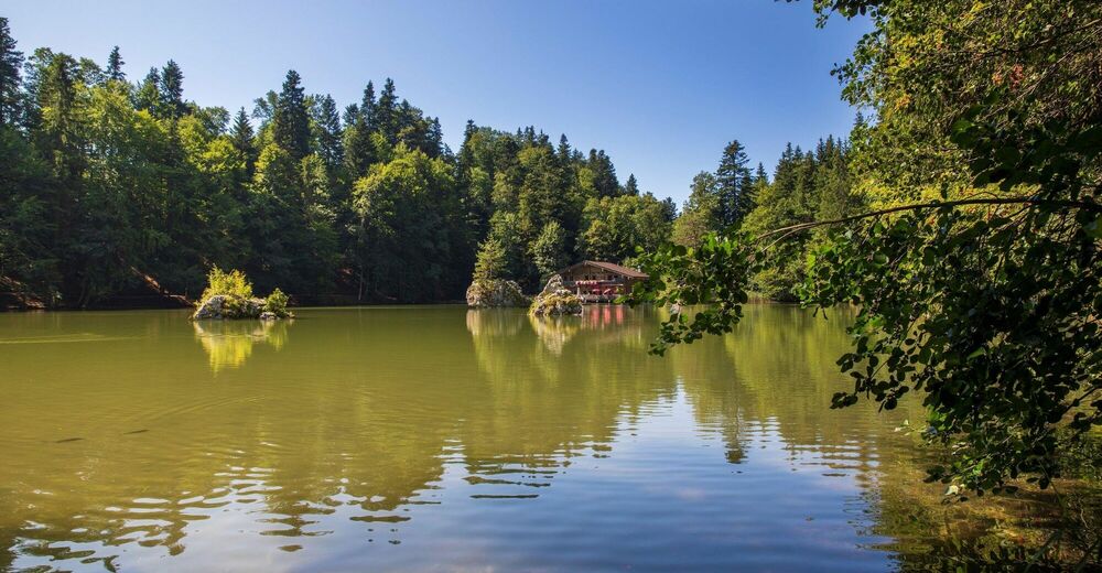
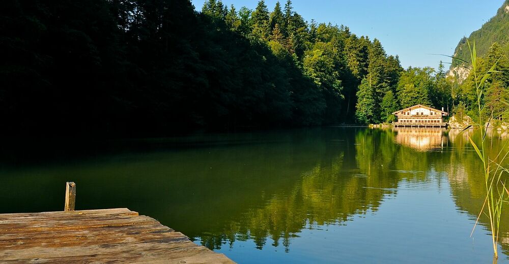
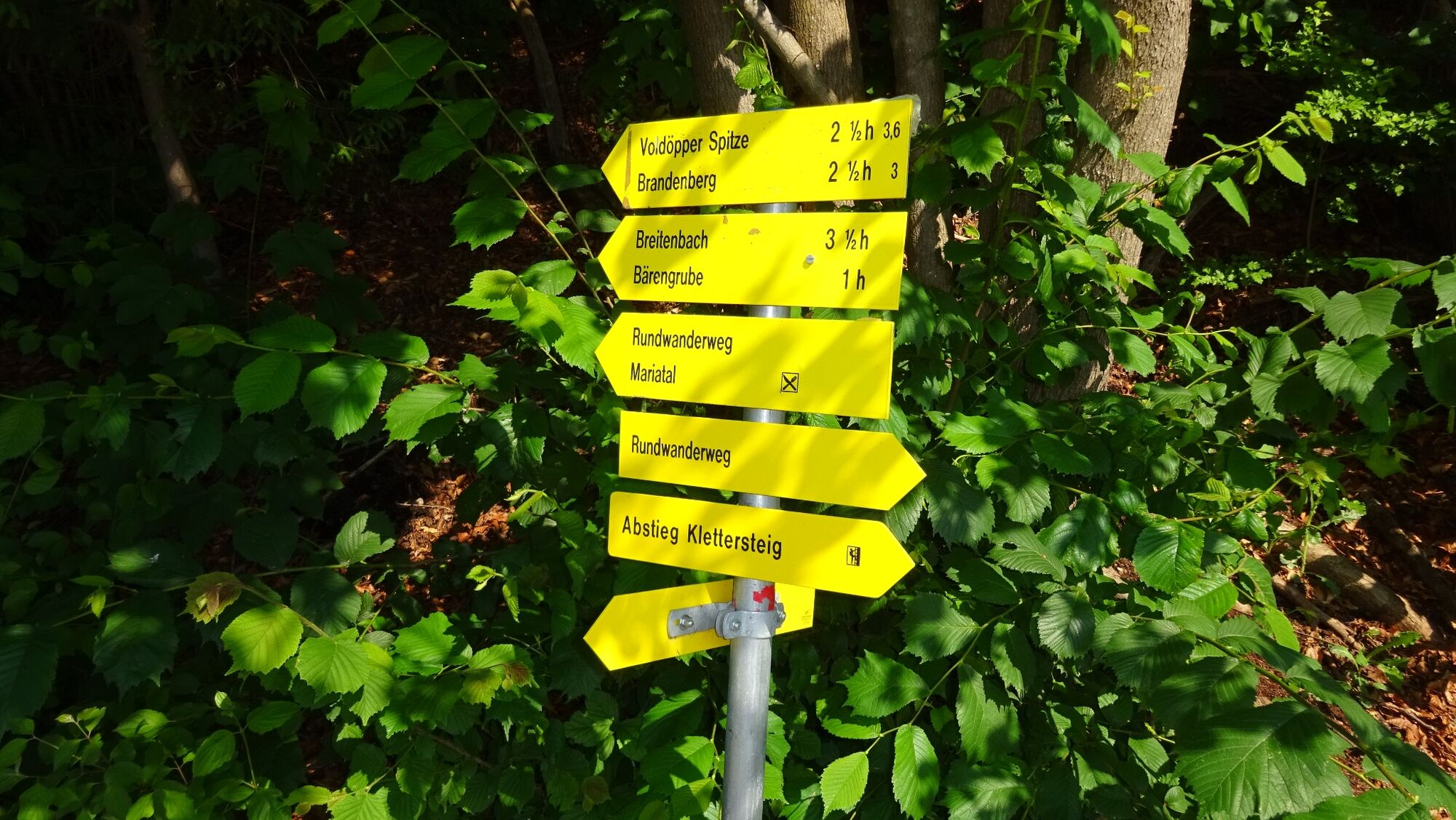
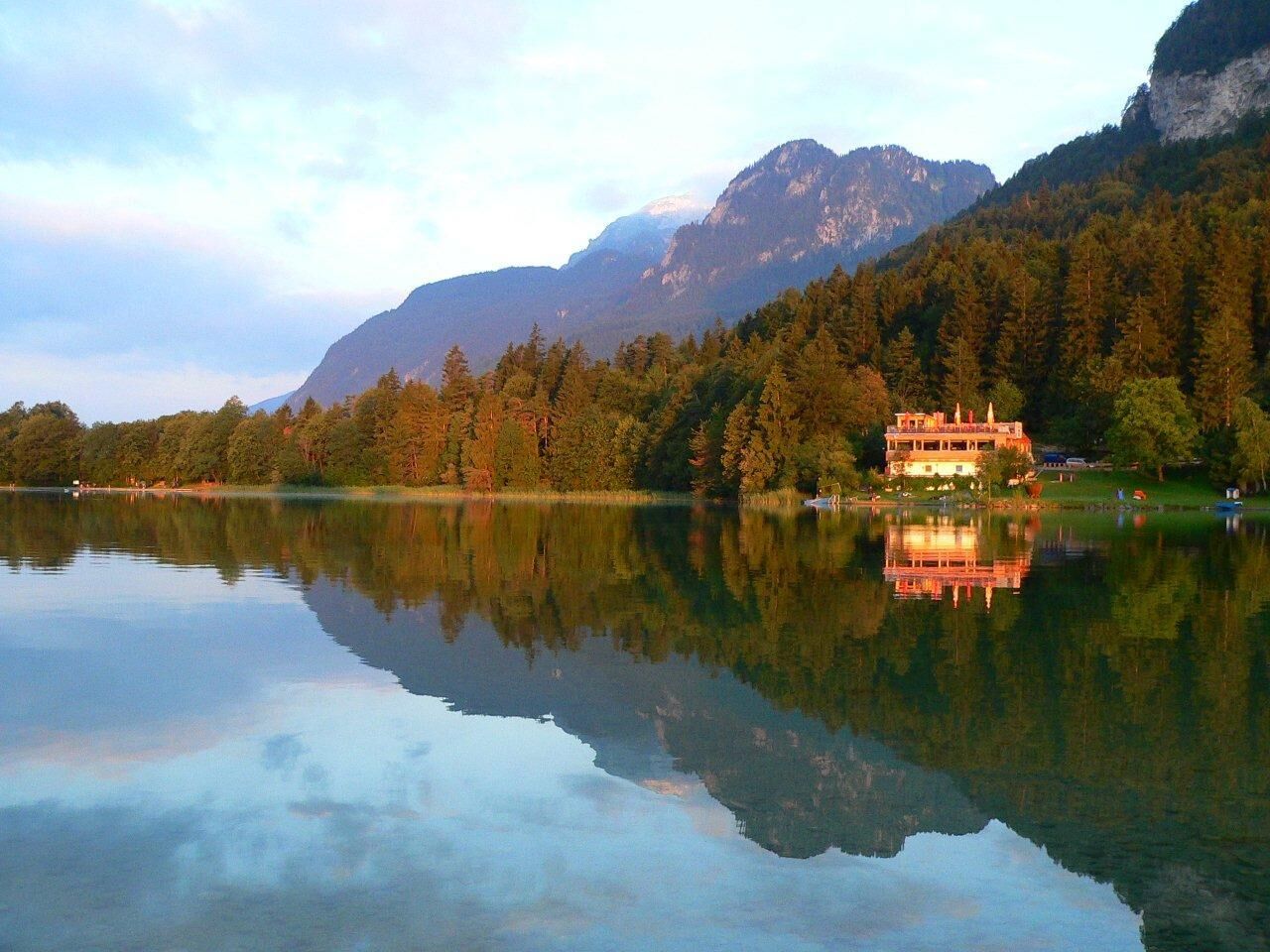
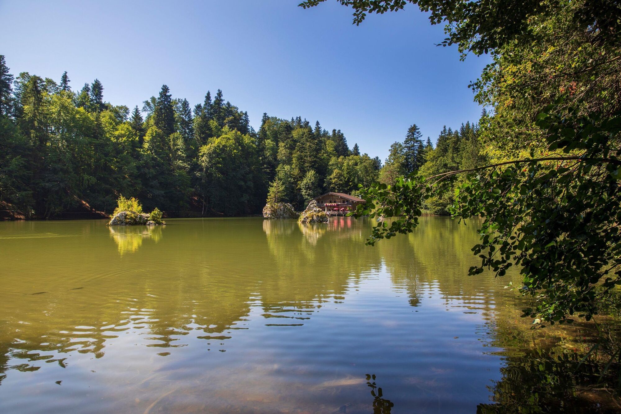
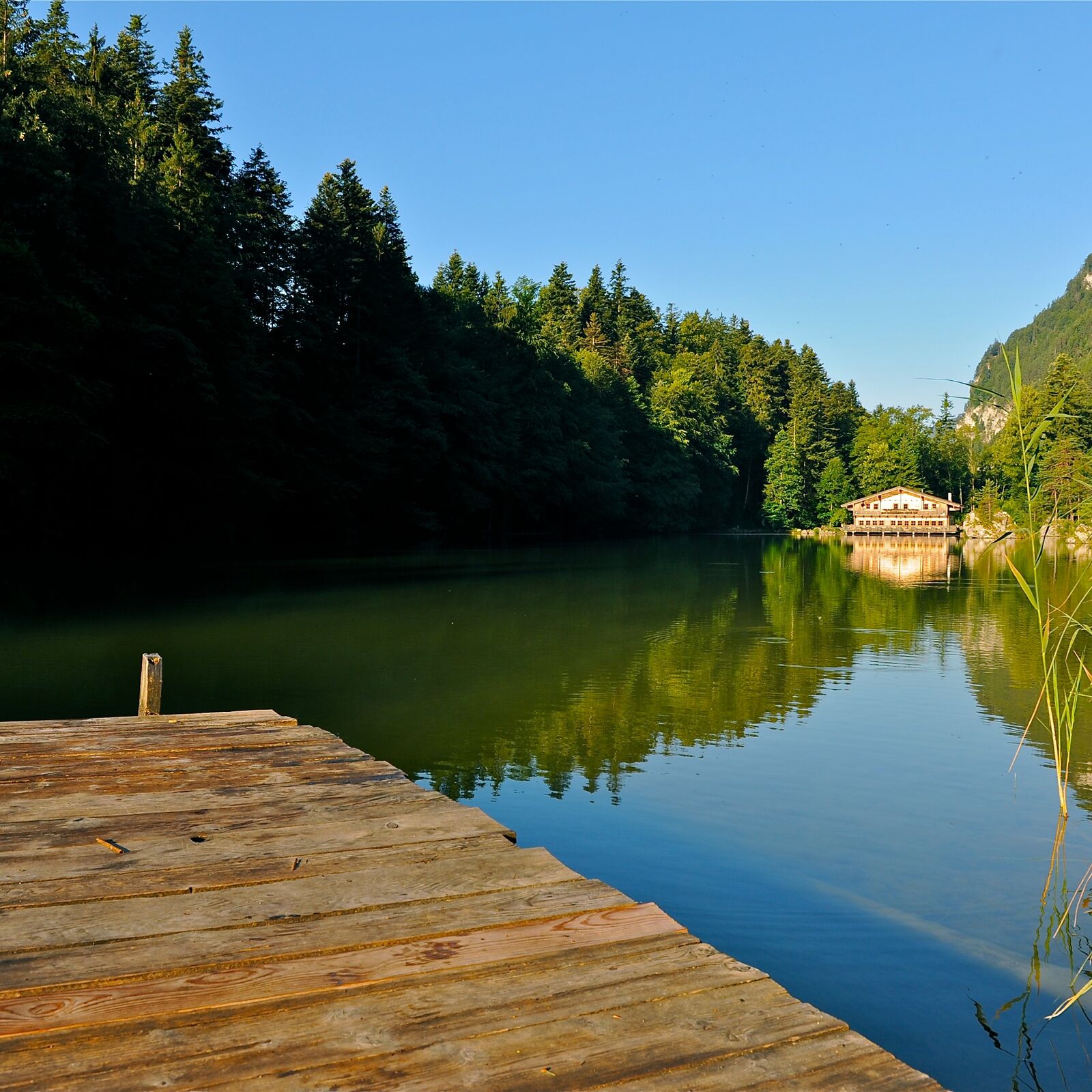
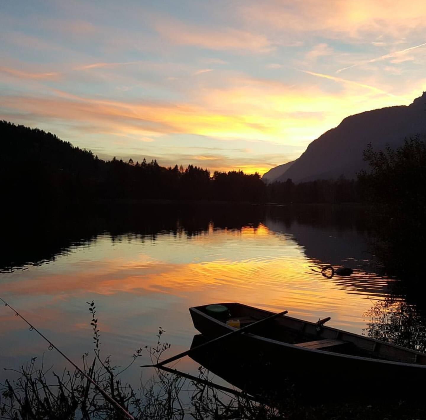
Genuss Schmied'n Stadlerhof0,5 kmVoldöpper Spitze (1.509 m)4,4 kmBerglsteiner See 712er Lounge10,4 kmSeerose12,8 kmFischerstube12,8 km
- Meilleure saison
-
janv.févr.marsavrilmaijuinjuil.aoûtsept.oct.nov.déc.
- Hauteur maximale
- 1.484 m
- Point de mire
-
Kramsach, Lake Reintal car park West
- Profil en hauteur
-


- Auteur
-
La randonnée Voldöpper Spitze Loop Hike est utilisé par outdooractive.com fourni par.
GPS Downloads


Informations générales
Prometteur
Autres parcours dans les régions
-
Alpbachtal
1502
-
Brandenberg
417