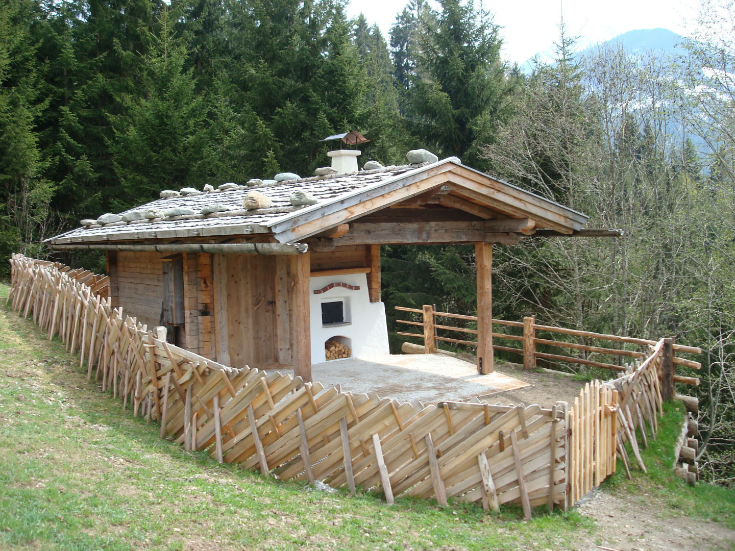
© Alpbachtal Tourismus


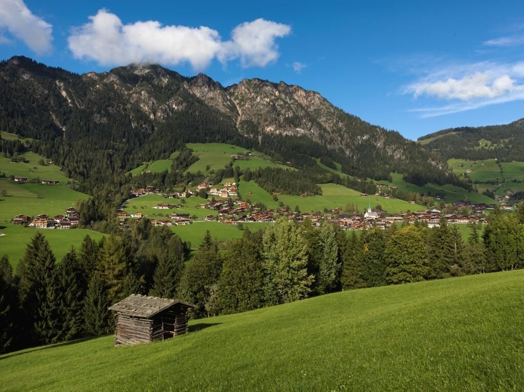
© Alpbachtal Tourismus / Campanile Alberto

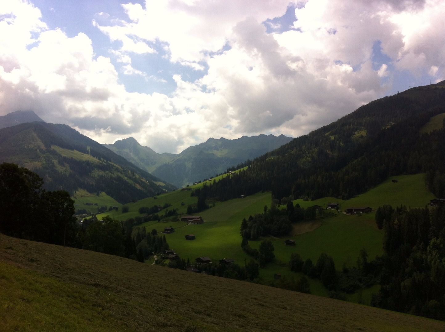
© Alpbach Tourismus

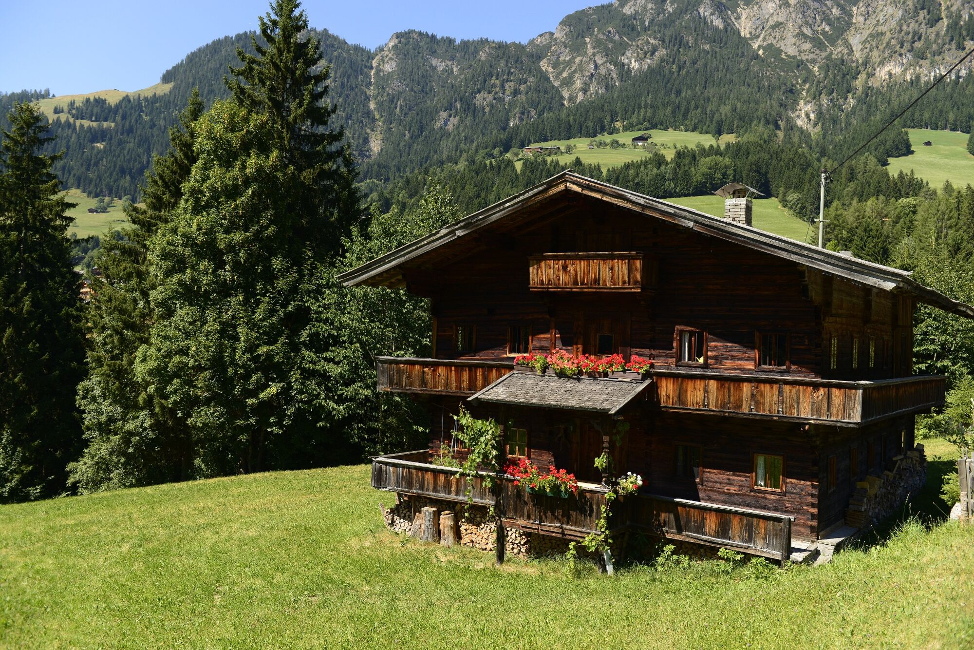
© Alpbachtal Tourismus

© Alpbachtal Tourismus

© Alpbachtal - Alberto Campanile

- Brève description
-
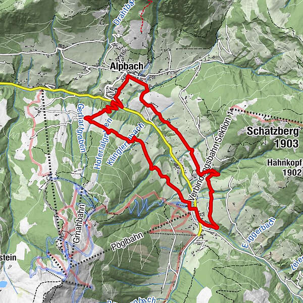
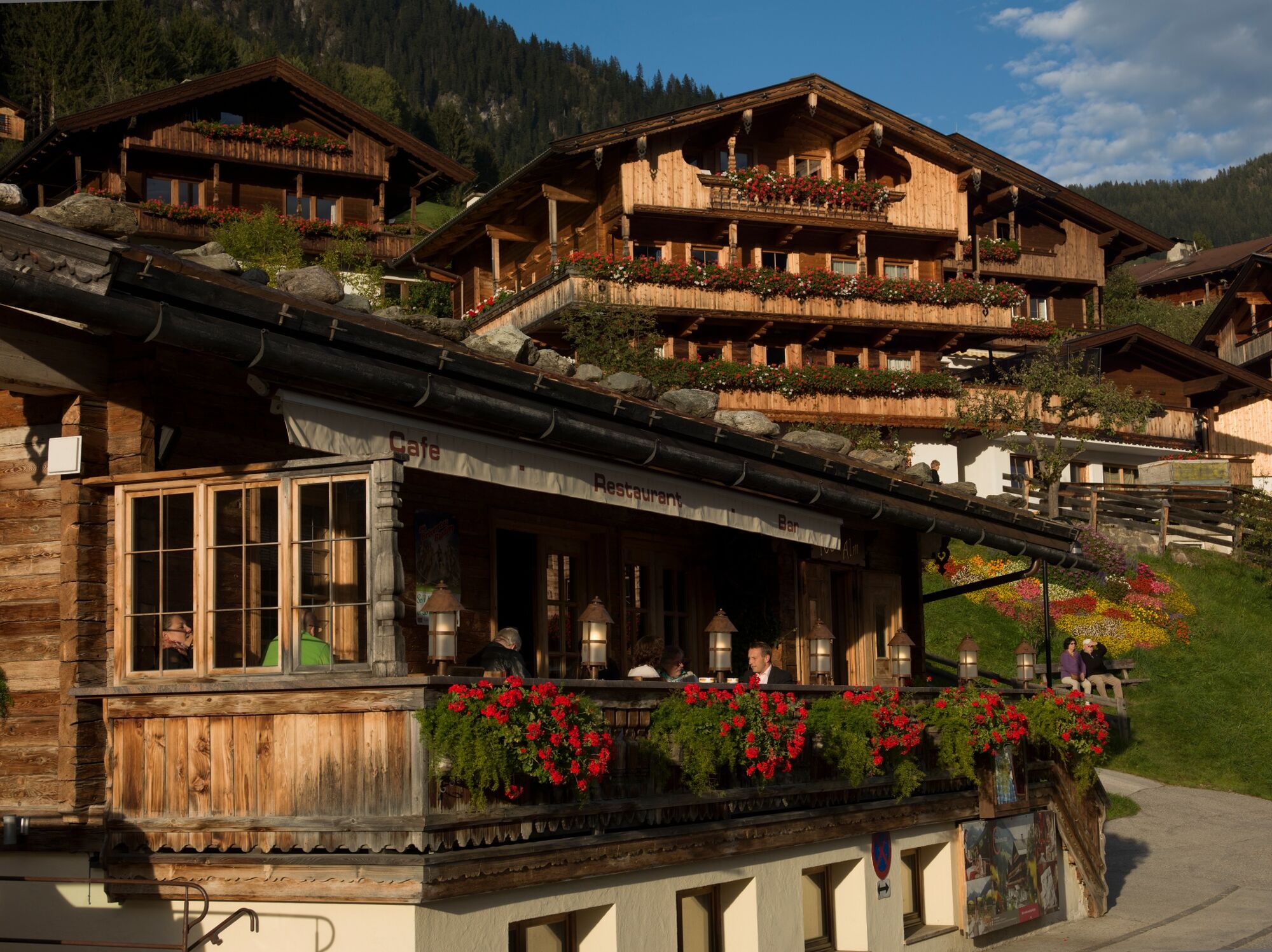
Looped trial - on the sunny side of the valley - to Inneralpach and back to the starting Point via "Neader". One can also make use of the free bus Service from from Inneralpbach to Alpbach!
- Difficulté
-
facile
- Évaluation
-
- Parcours
-
Alpbach (975 m)Heiligenkasten0,0 kmPfarrkirche Alpbach0,0 kmInneralpbach4,3 kmSchulmeisterkapelle4,4 kmHeiligenkasten9,2 kmPfarrkirche Alpbach9,2 kmAlpbach (975 m)9,2 km
- Meilleure saison
-
janv.févr.marsavrilmaijuinjuil.aoûtsept.oct.nov.déc.
- Hauteur maximale
- 1.093 m
- Point de mire
-
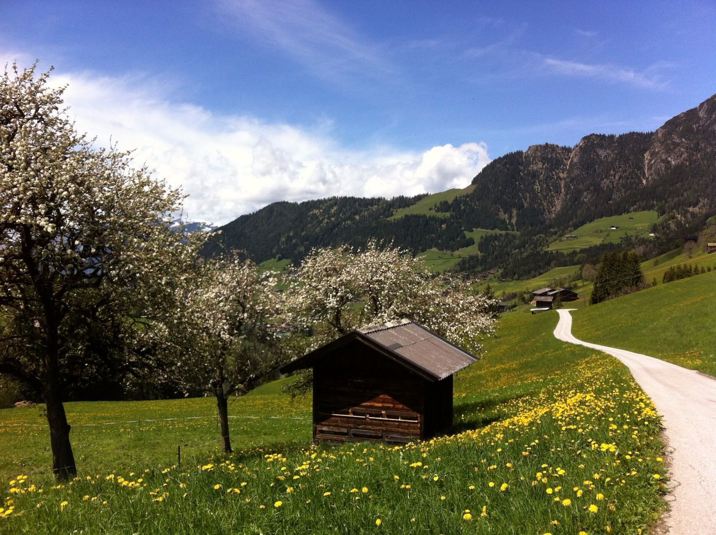
Alpbach
- Profil en hauteur
-


- Auteur
-
La randonnée Mittlerer Höhenweg Alpbach est utilisé par outdooractive.com fourni par.
GPS Downloads


Autres parcours dans les régions
-
Alpbachtal
1502
-
Alpbach
494