© Alpbachtal Tourismus

© Alpbachtal Tourismus

© Alpbachtal - Matthias Sedlak

© Alpbachtal Tourismus


© Alpbachtal - Matthias Sedlak

© Alpbachtal Tourismus

- Brève description
-
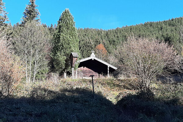
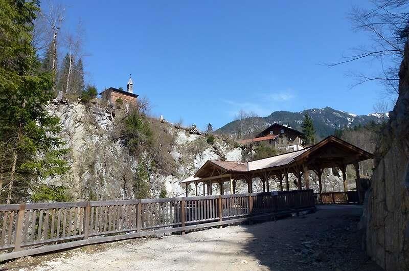
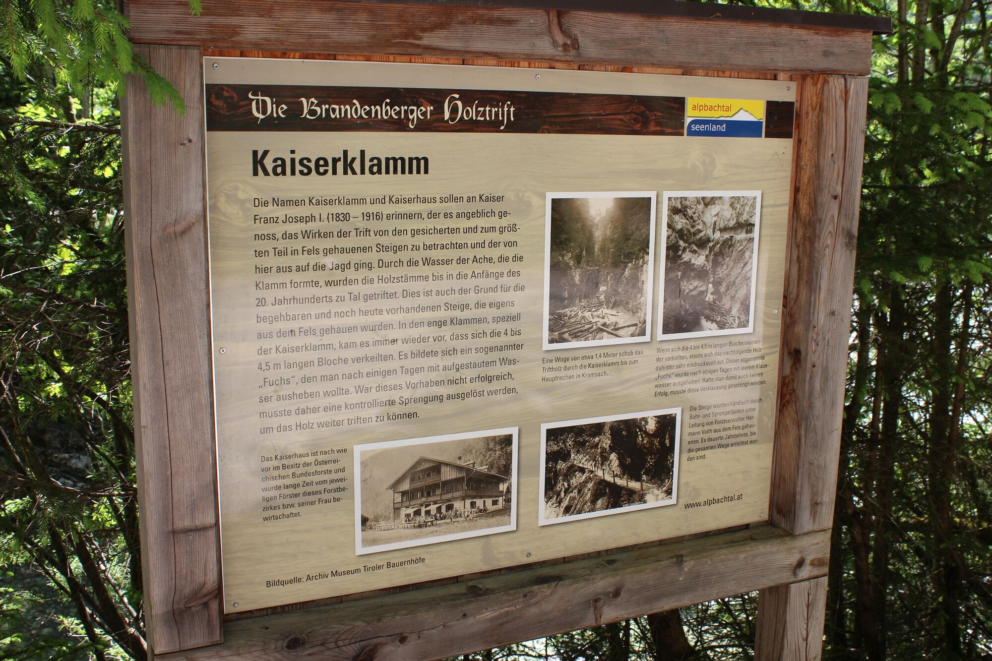
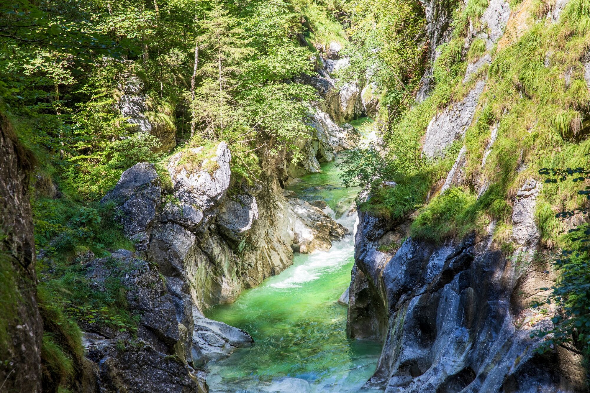
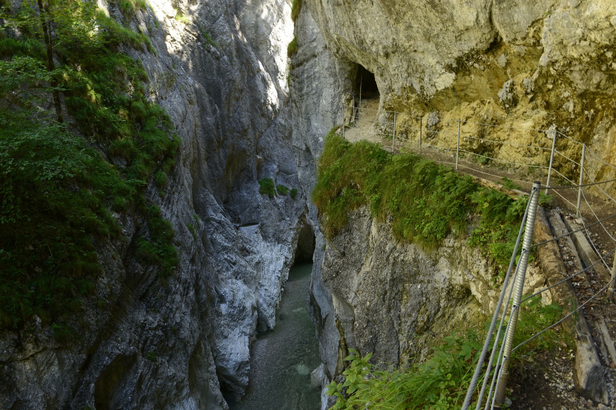
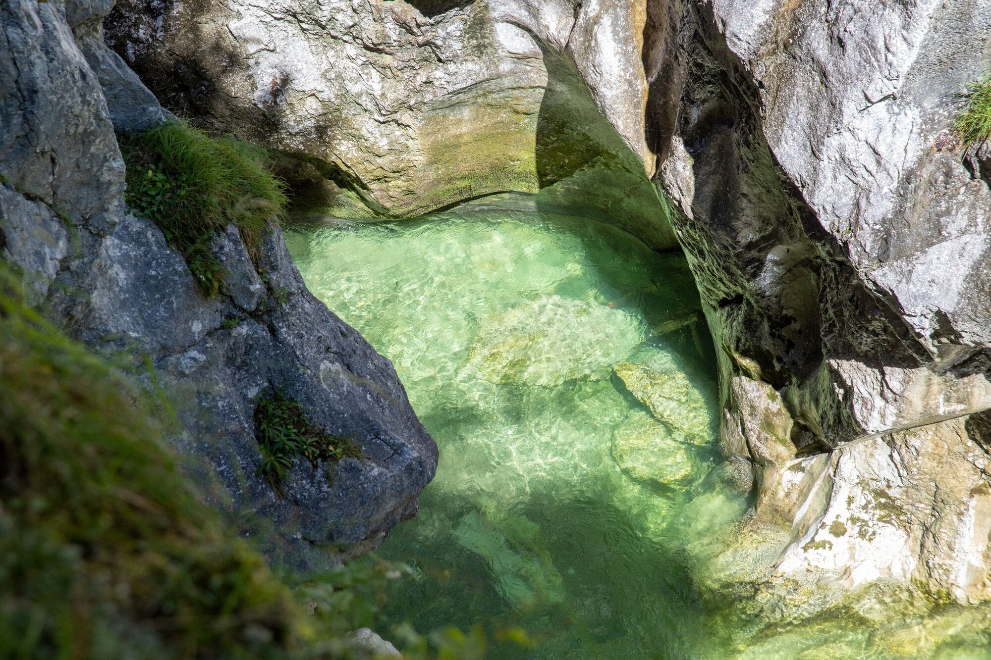
The gorge path takes you up and over a series of potholes formed by the action of the river eroding down through the bedrock.
- Difficulté
-
moyen
- Évaluation
-
- Parcours
-
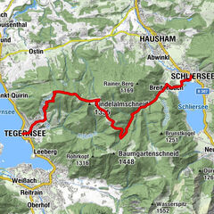
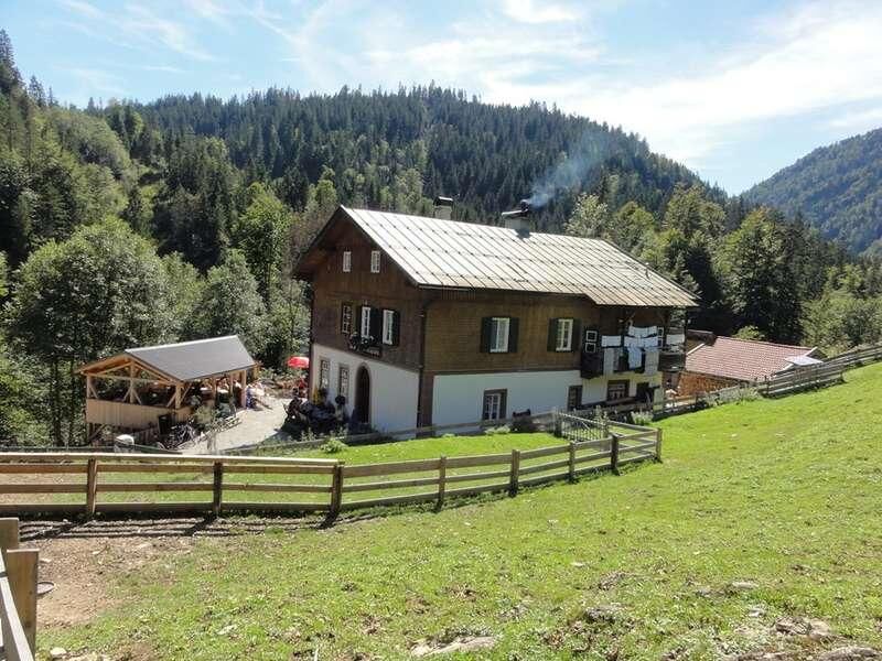
Erzherzog-Johann-Klause4,0 kmZollhütte (794 m)4,5 kmKaiserhaus11,4 km
- Meilleure saison
-
janv.févr.marsavrilmaijuinjuil.aoûtsept.oct.nov.déc.
- Hauteur maximale
- 804 m
- Point de mire
-
Brandenberg/Kaiserhaus
- Profil en hauteur
-

- Auteur
-
La randonnée Kaiser Gorge - Erzherhog Johann Klause est utilisé par outdooractive.com fourni par.
GPS Downloads


Informations générales
Point de rassemblement
Autres parcours dans les régions
-
Alpbachtal
1501
-
Brandenberg
417