KulTOUR - Heilwasserweg (theme path - curative water) Kramsach

Randonnée

© Alpbachtal Tourismus

© Alpbachtal Tourismus

© Alpbachtal Tourismus

© Alpbachtal Tourismus

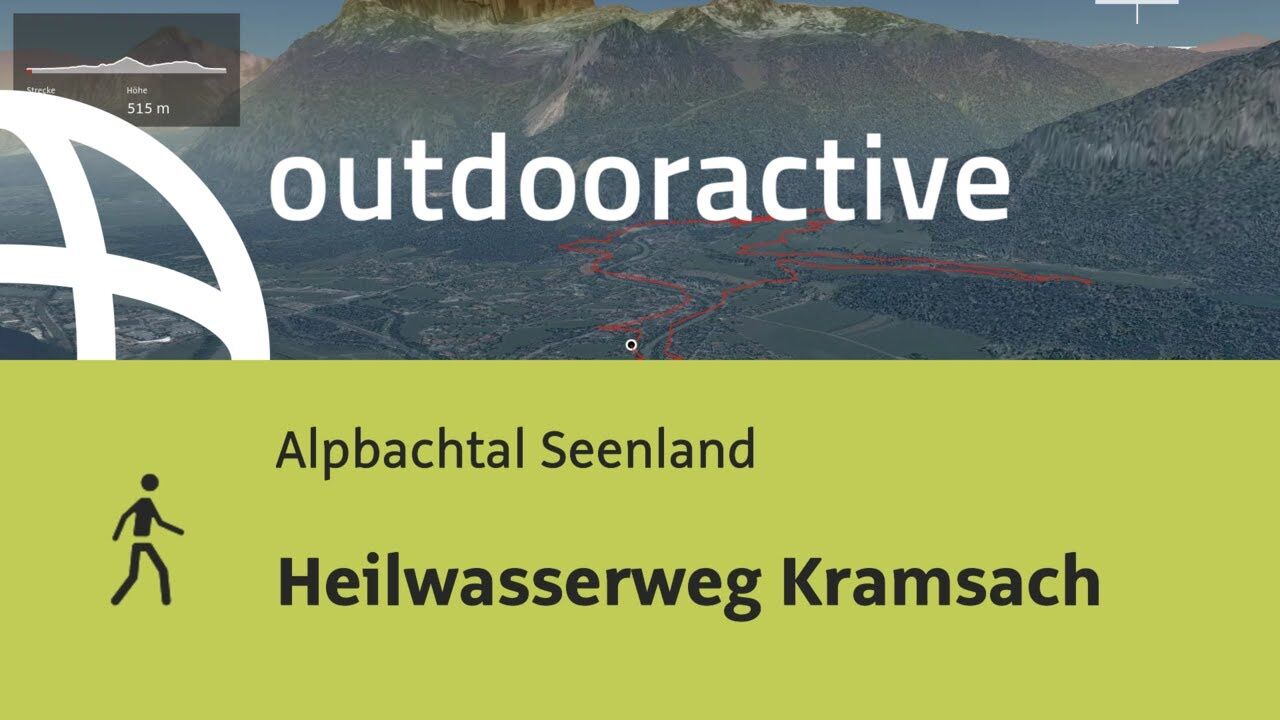
© Outdooractive – 3D Videos

© Alpbachtal Tourismus - Birgit Angermair

© Alpbachtal Tourismus - Birgit Angermair

© Alpbachtal Tourismus - Birgit Angermair

© Alpbachtal Tourismus

© Alpbachtal Tourismus

- Brève description
-
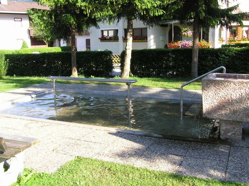
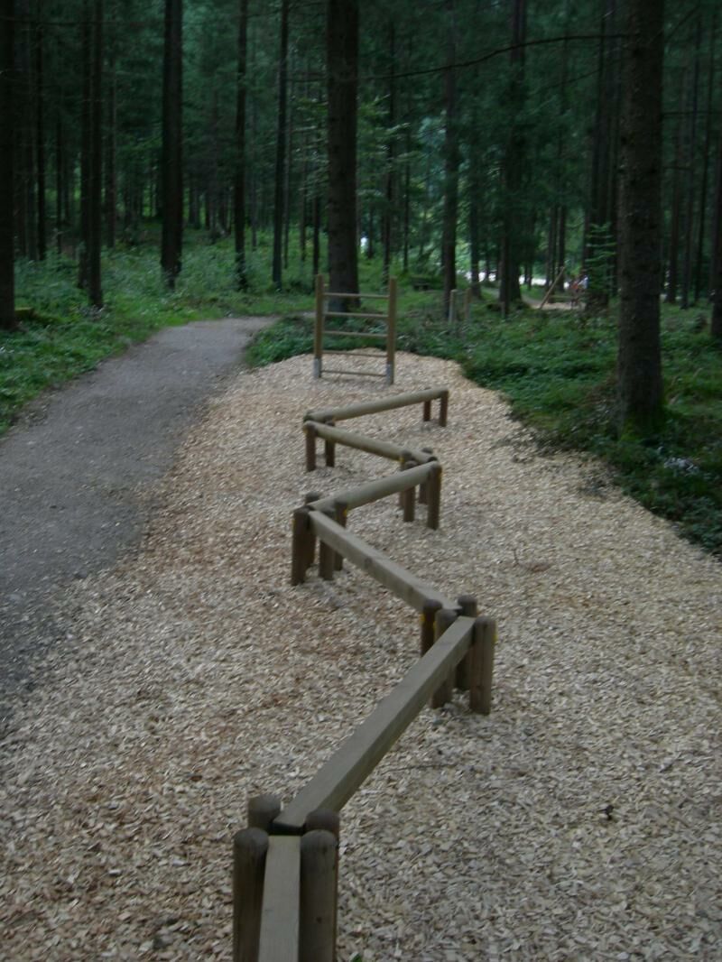
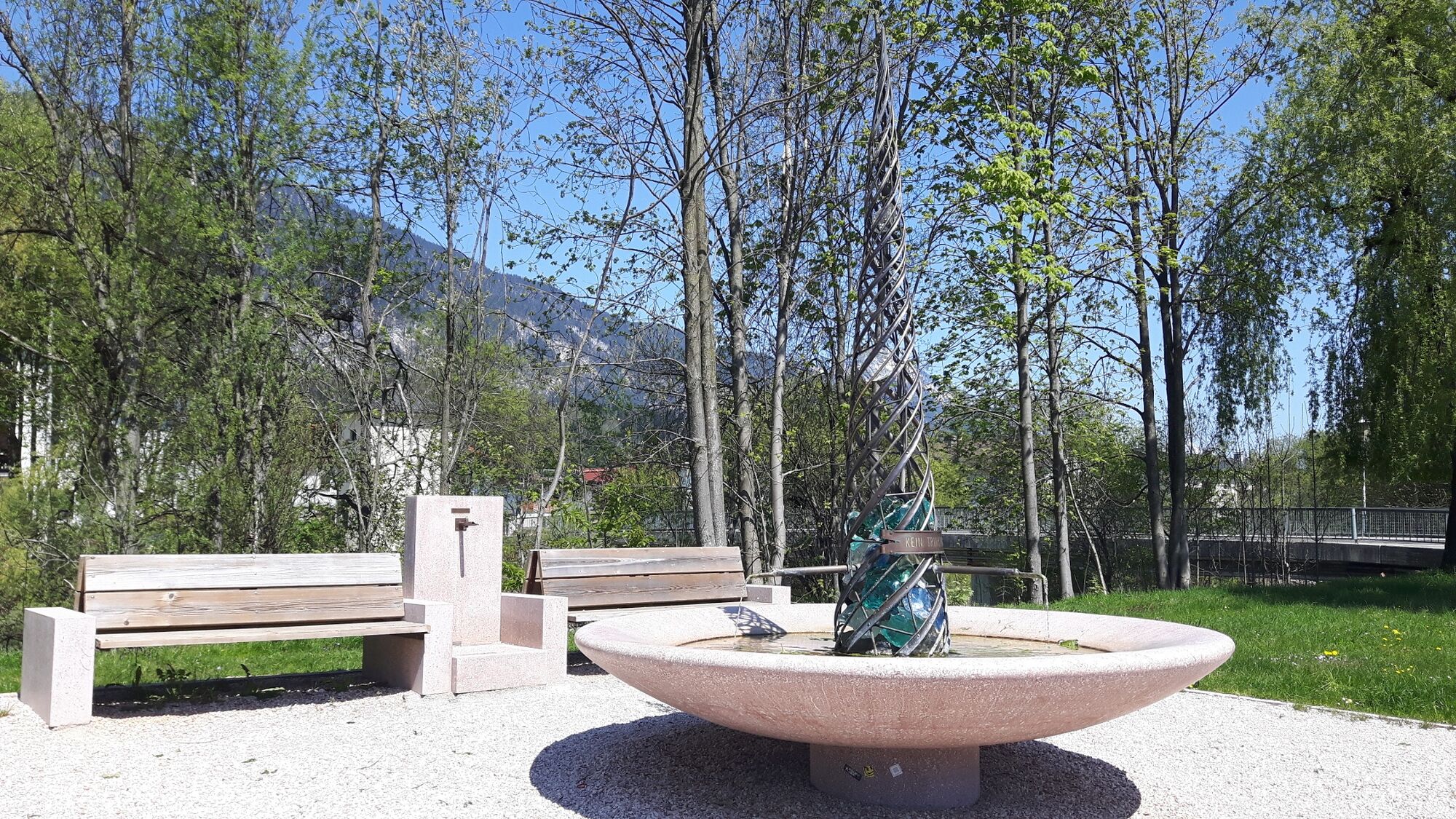
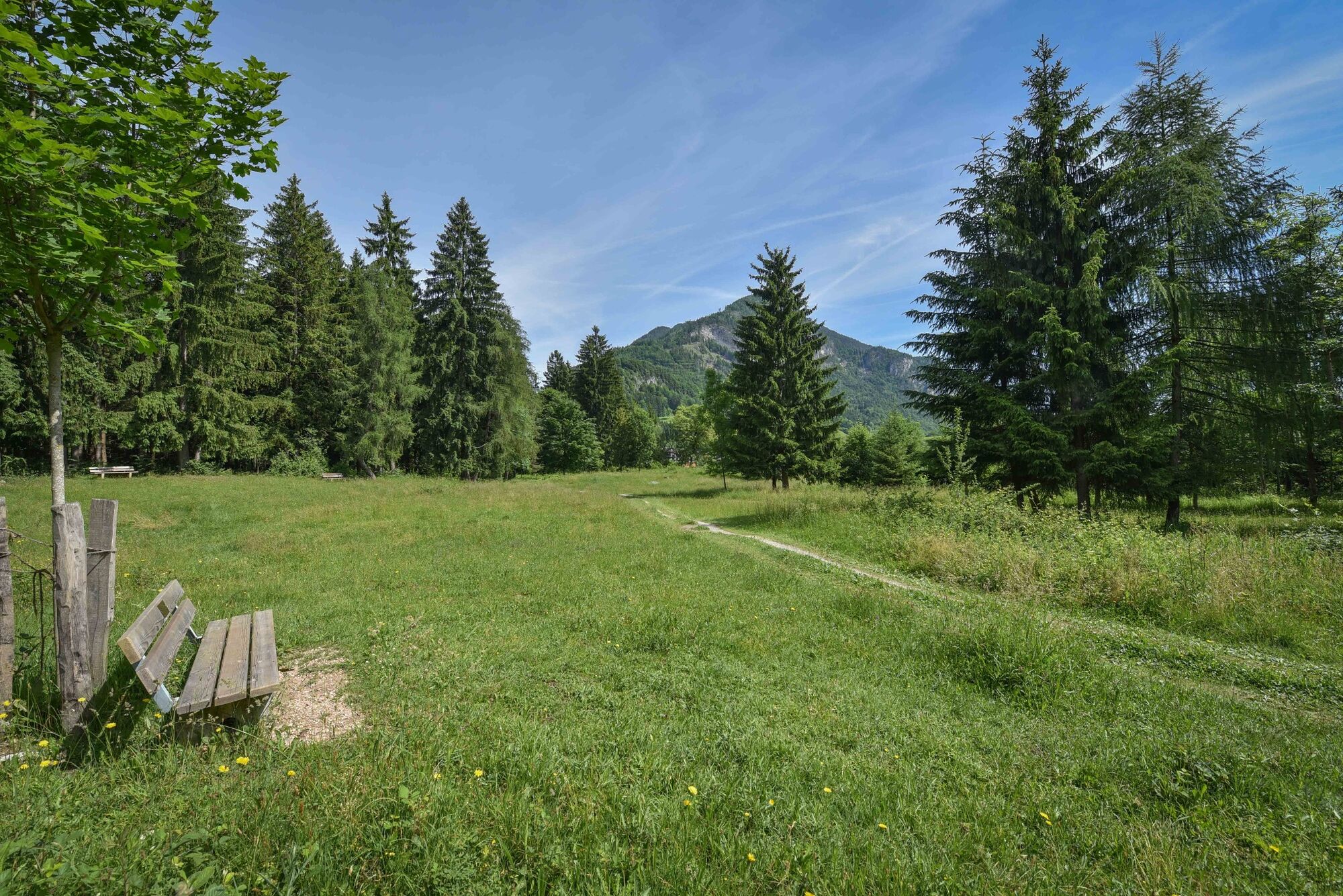
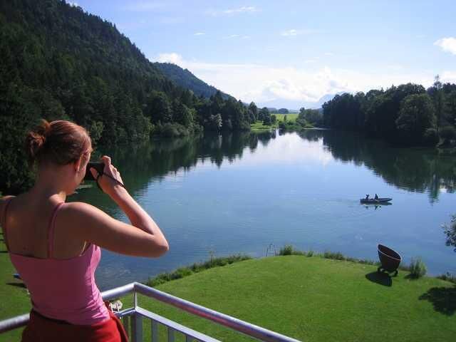
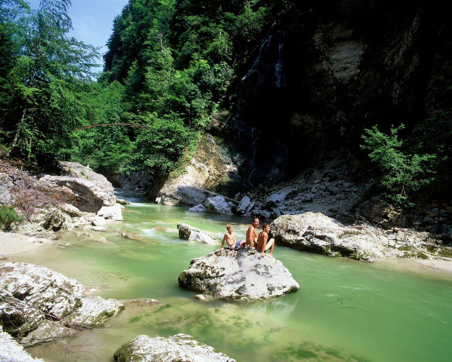
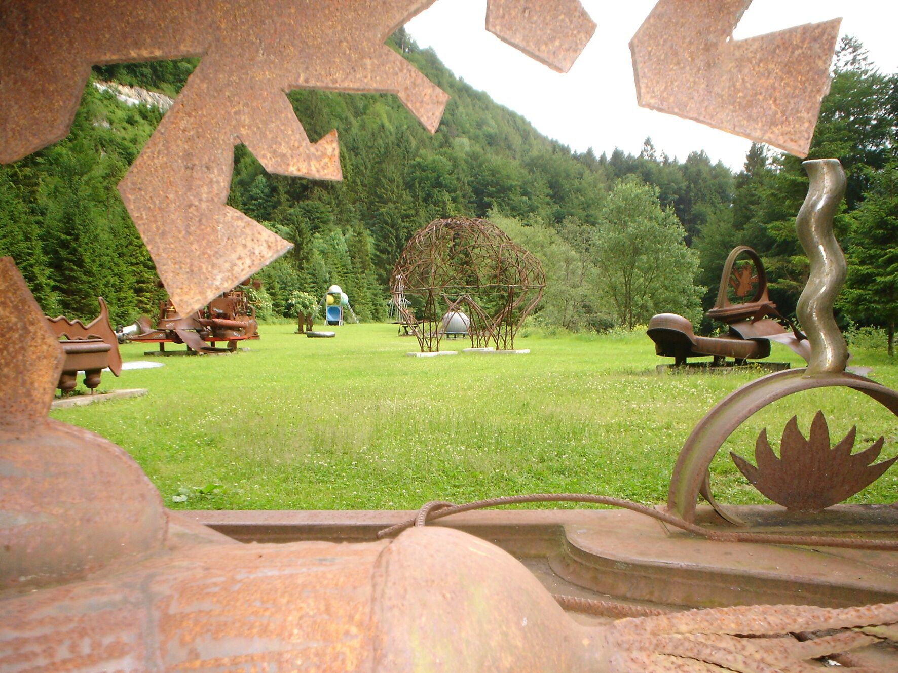
Easy hiking route following the trail of Kramsach's thermal waters.
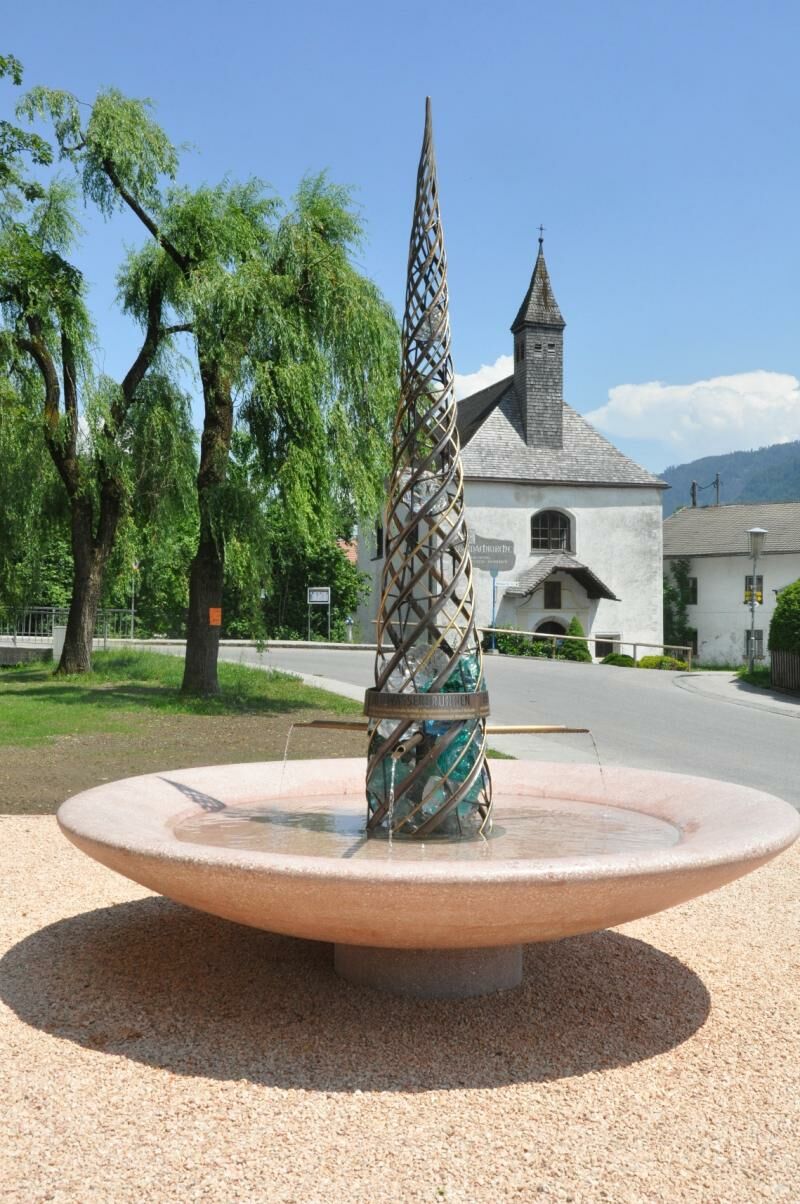
Water is a cultural asset! Explore the beautiful nature around the streams, fountains and lakes along the KulTOUR Heilwasser route in Kramsach.
- Difficulté
-
facile
- Évaluation
-
- Parcours
-
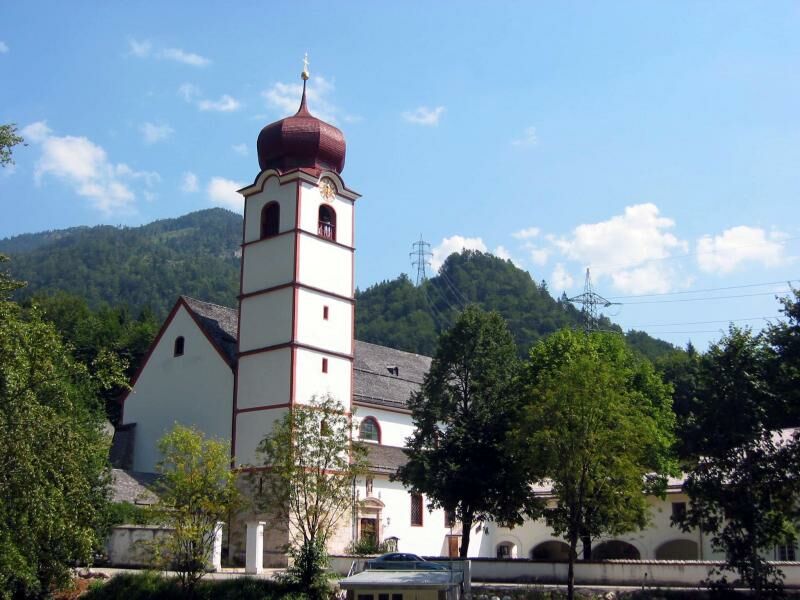
Pfarrkirche Sankt Virgil0,1 kmKlosterkirche hl. Augustinus0,2 kmSpitalkirche0,2 kmRattenberg0,3 kmBadl0,5 kmWeidachkapelle1,0 kmWeidach1,0 kmFachental1,2 kmClaudiaplatz1,3 kmZentrum1,6 kmBergfeld1,6 kmAchenrain1,9 kmLänd2,0 kmKramsach2,1 kmWittberg (526 m)2,7 kmLiftstüberl3,4 kmRadetzkyweg3,5 kmMariatal (533 m)3,7 kmKalvarienbergkapelle4,5 kmFischerstube7,9 kmSeerose8,0 kmSeehof9,6 kmBrantlhof9,7 kmAntoniuskapelle9,9 kmPlattform Barrierefrei10,1 kmSeebühel12,5 kmBergfeld13,2 kmZentrum13,3 kmKramsach13,3 kmClaudiaplatz13,5 kmFachental13,6 kmWeidach13,8 kmWeidachkapelle13,9 kmBadl14,3 kmRattenberg14,6 kmSpitalkirche14,6 kmKlosterkirche hl. Augustinus14,6 kmPfarrkirche Sankt Virgil14,7 km
- Meilleure saison
-
janv.févr.marsavrilmaijuinjuil.aoûtsept.oct.nov.déc.
- Hauteur maximale
- 615 m
- Point de mire
-
Rattenberg - car park east (P5)
- Profil en hauteur
-

- Auteur
-
La randonnée KulTOUR - Heilwasserweg (theme path - curative water) Kramsach est utilisé par outdooractive.com fourni par.
GPS Downloads


Informations générales
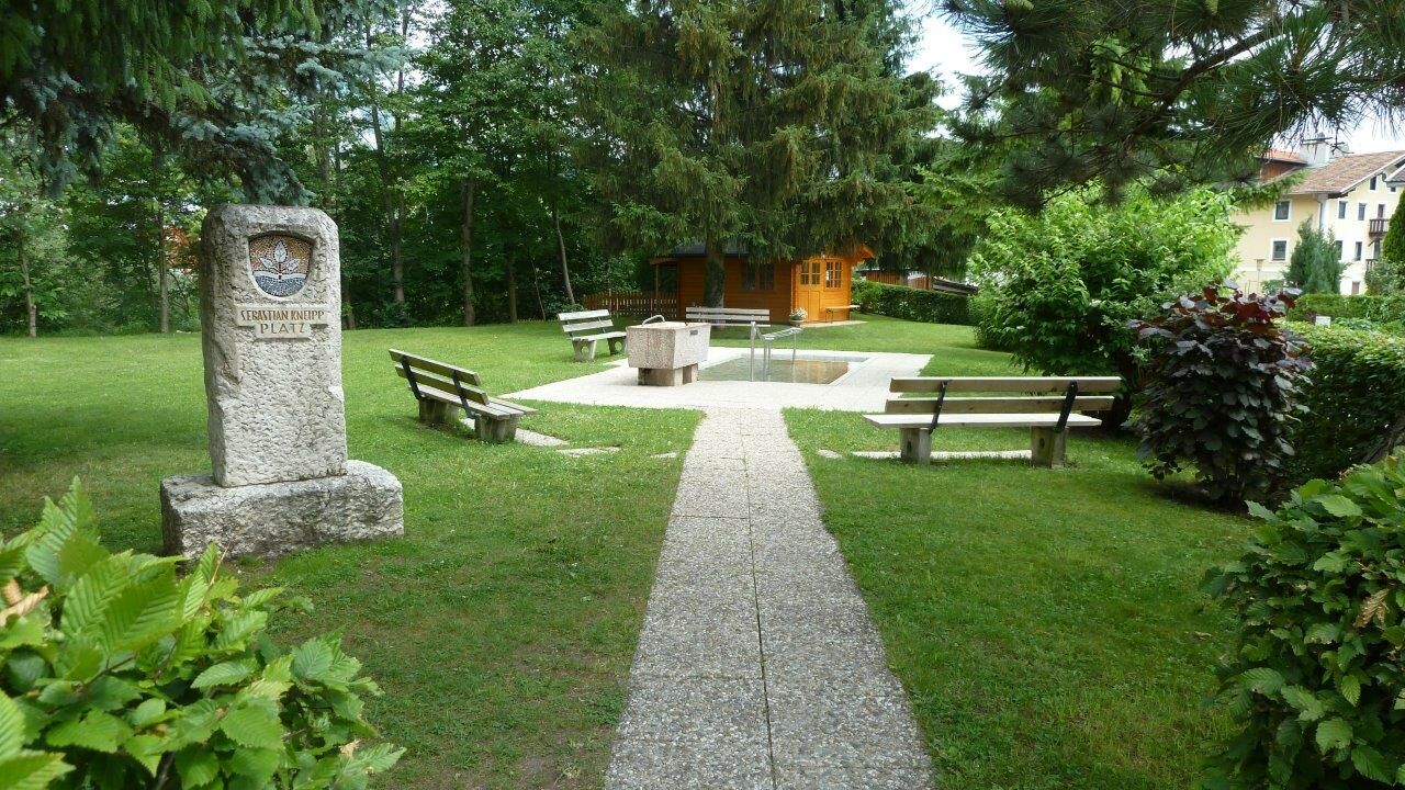
Point de rassemblement
Culturel/Historiquement
Autres parcours dans les régions
-
Alpbachtal
1502
-
Kramsach
463