
Dates des itinéraires
5,16km
873
- 1.011m
138hm
02:00h

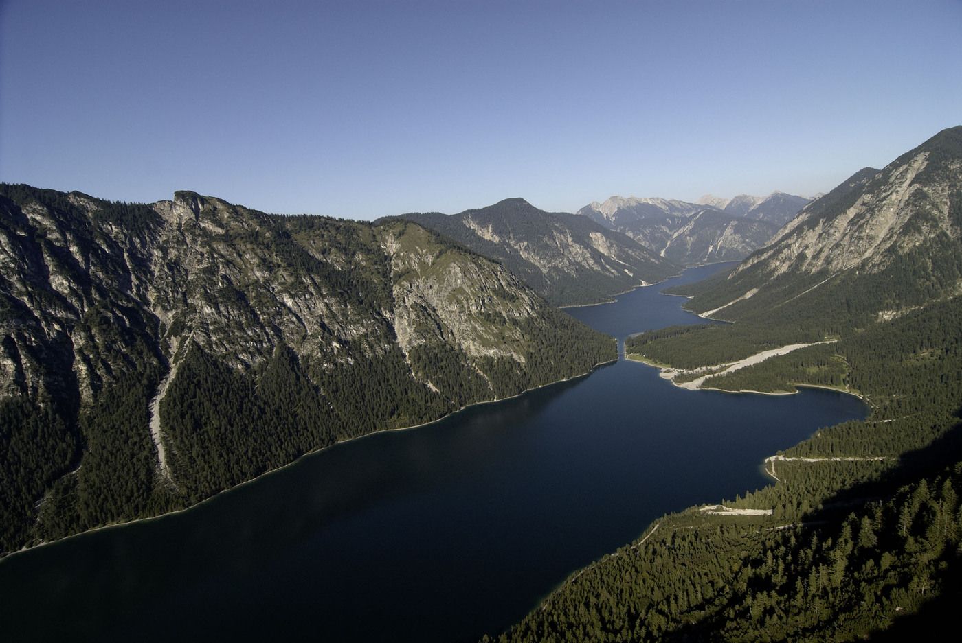
- Brève description
-
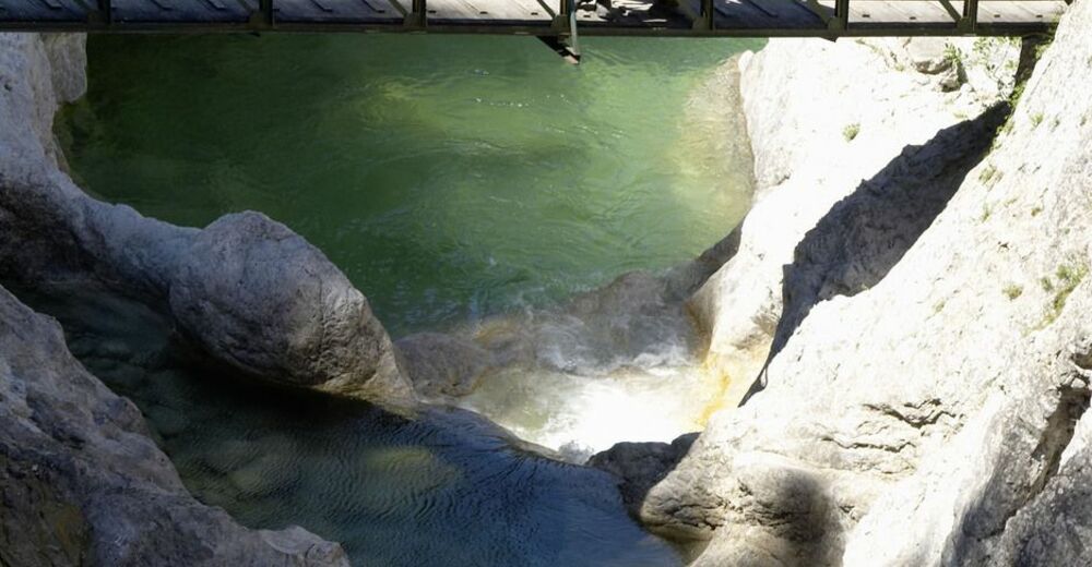
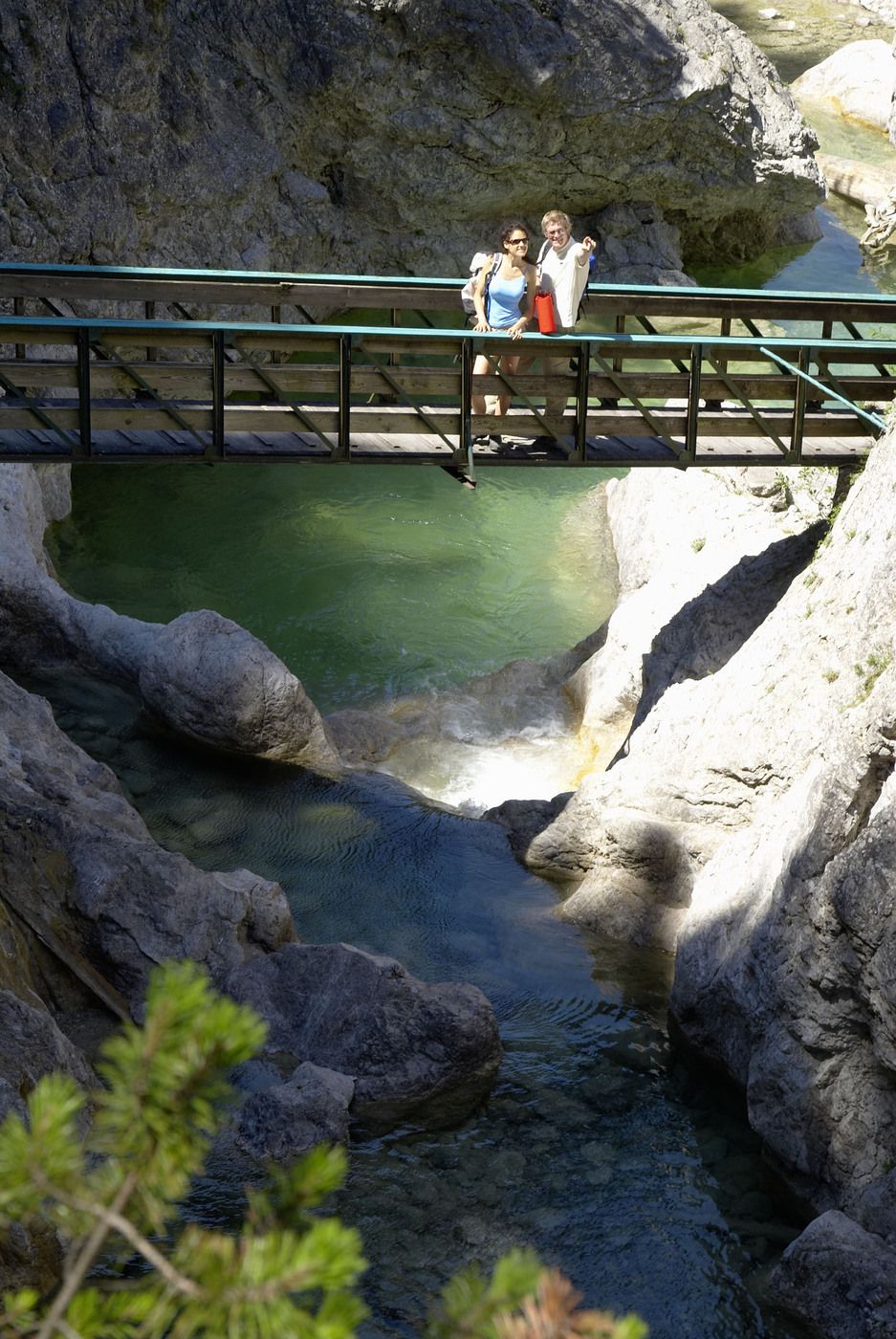
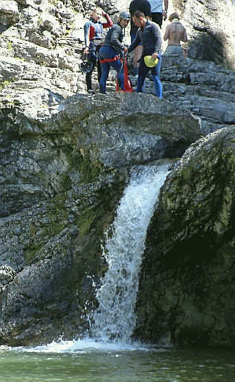
Schmale Pfade, leichtes Wandern
- Difficulté
-
moyen
- Évaluation
-
- Point de départ
-
Umspannwerk Planseewerk, Reutte-Mühl
- Parcours
-
Frauenbrünnele2,8 km
- Hauteur maximale
- 1.011 m
GPS Downloads


Nature du chemin
Asphalte
Gravier
Pelouse
Forêt
Rocher
Exposé
Autres parcours dans les régions
-
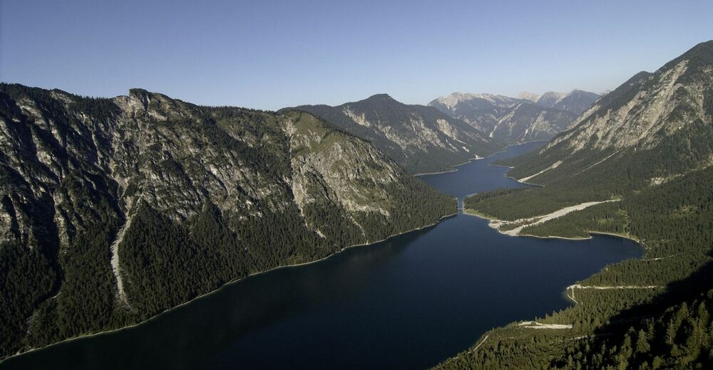
Naturparkregion Reutte
1435
-
Breitenwang
515


