

© Füssen Tourismus und Marketing - Sabine Hipp

© Füssen Tourismus und Marketing - Sabine Hipp

© Füssen Tourismus und Marketing - Sabine Hipp

© Füssen Tourismus und Marketing - Sabine Hipp

© Füssen Tourismus und Marketing - Sabine Hipp

© Füssen Tourismus und Marketing - Sabine Hipp

© Füssen Tourismus und Marketing - Sabine Hipp

© Füssen Tourismus und Marketing - Sabine Hipp

© Füssen Tourismus und Marketing - Sabine Hipp

© Füssen Tourismus und Marketing - Sabine Hipp

- Brève description
-
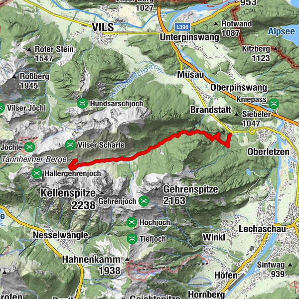
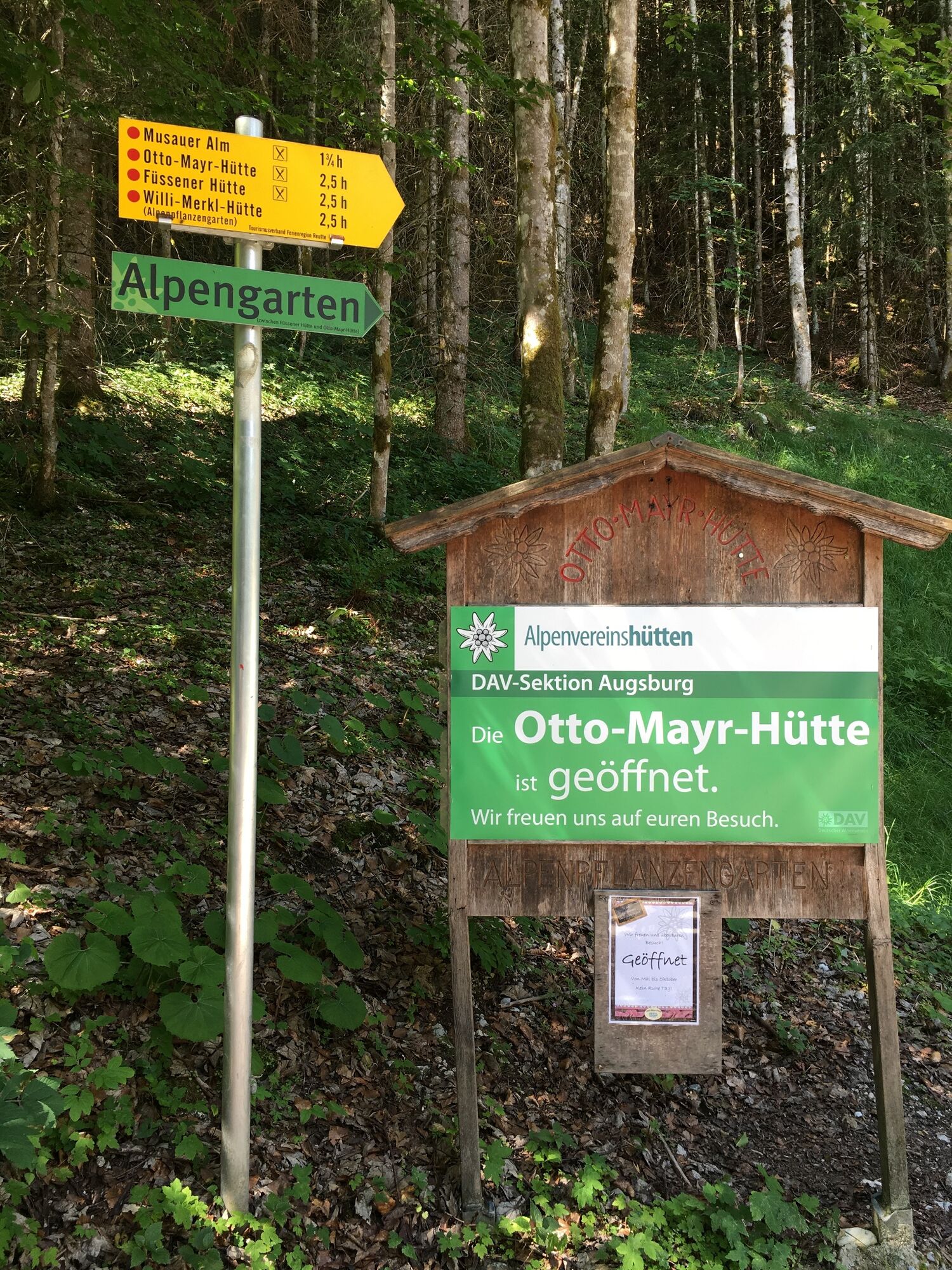
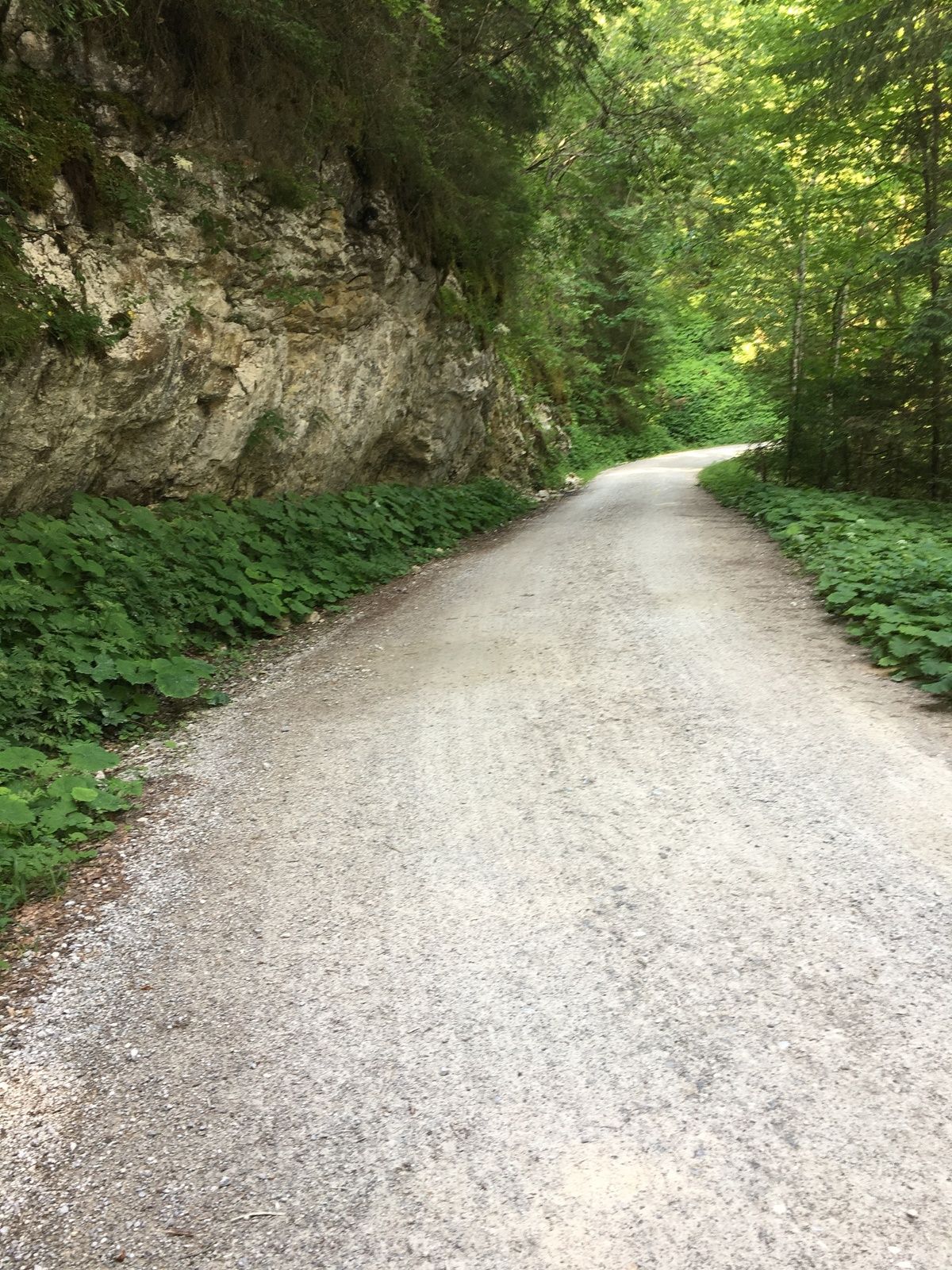
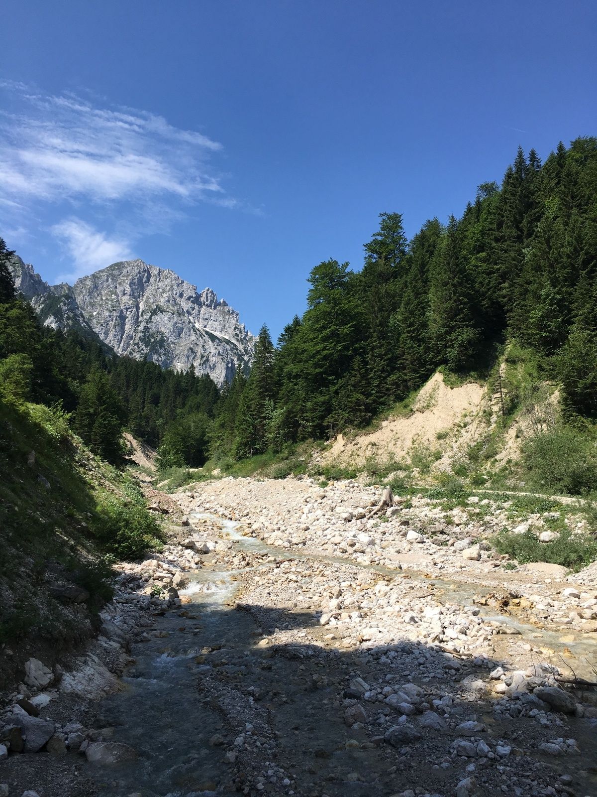
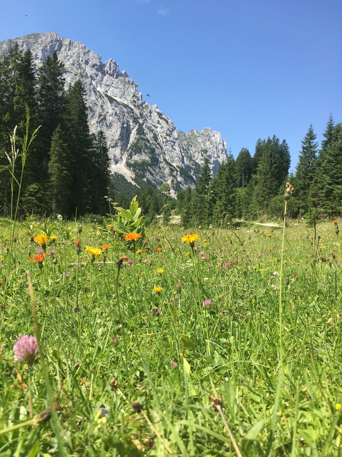
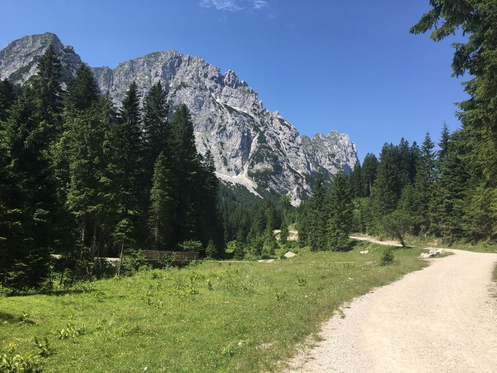
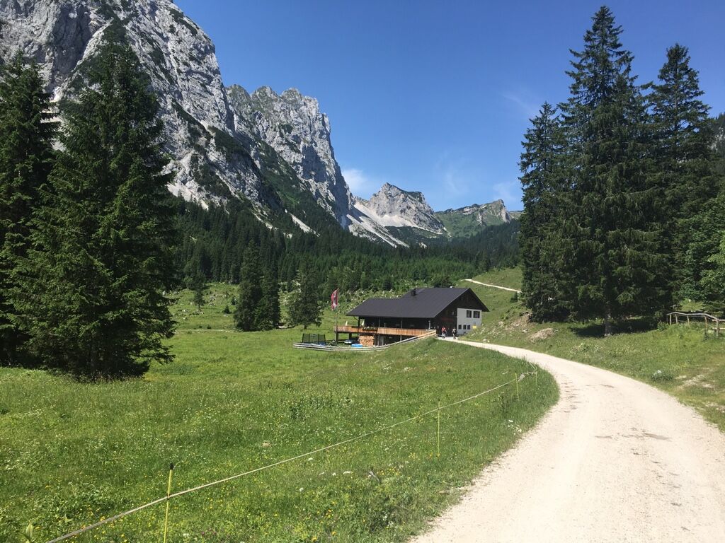
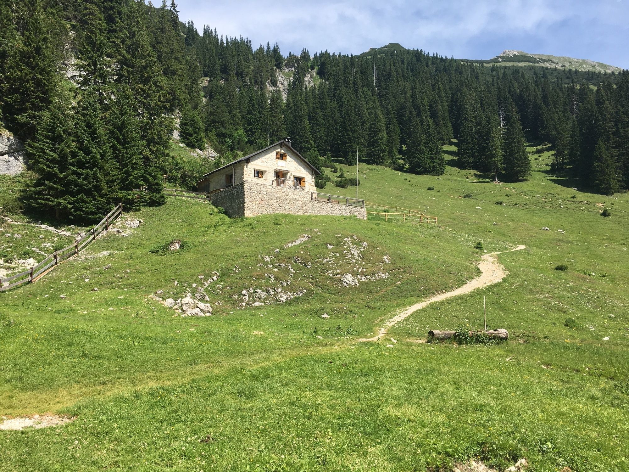
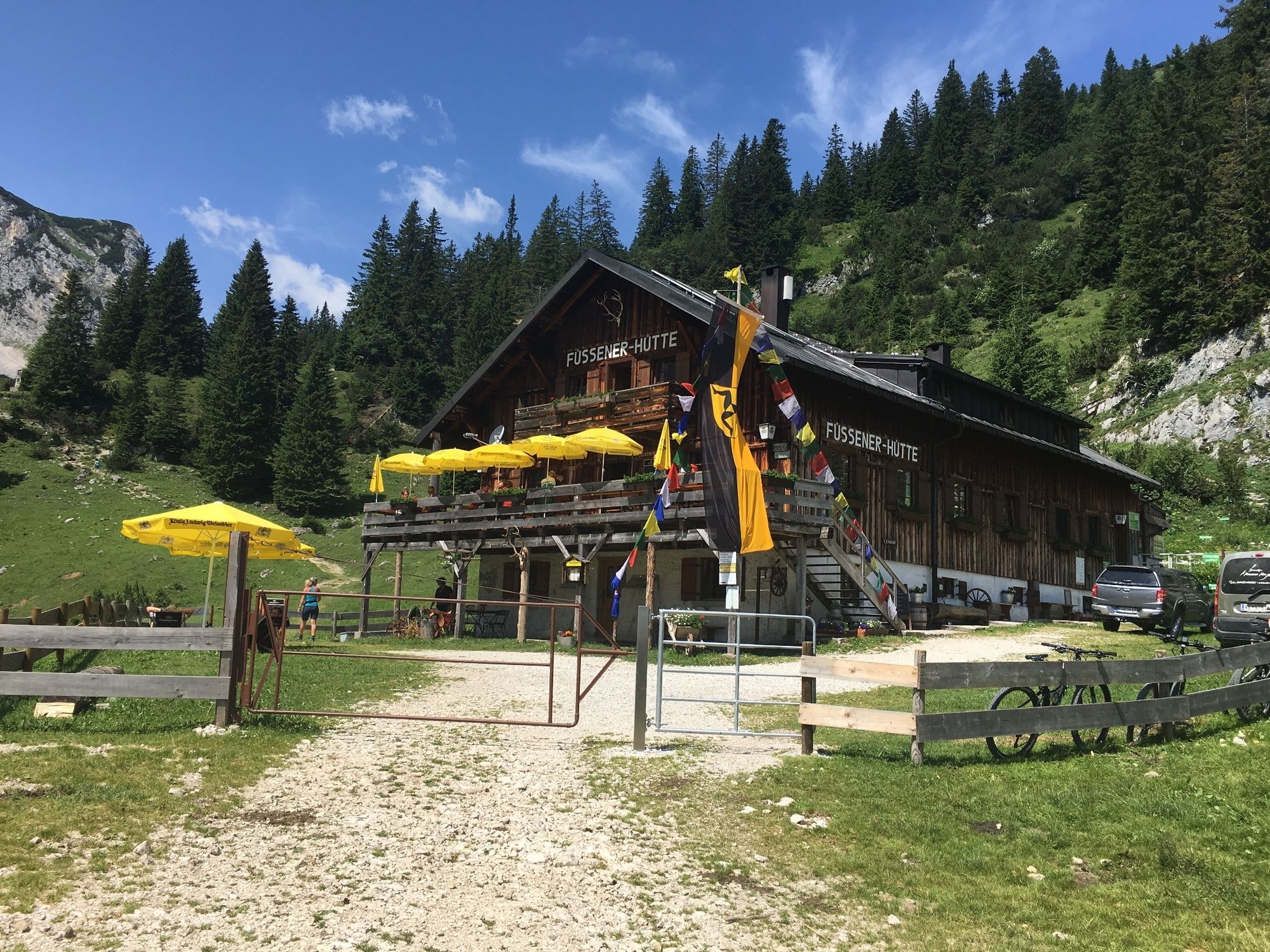
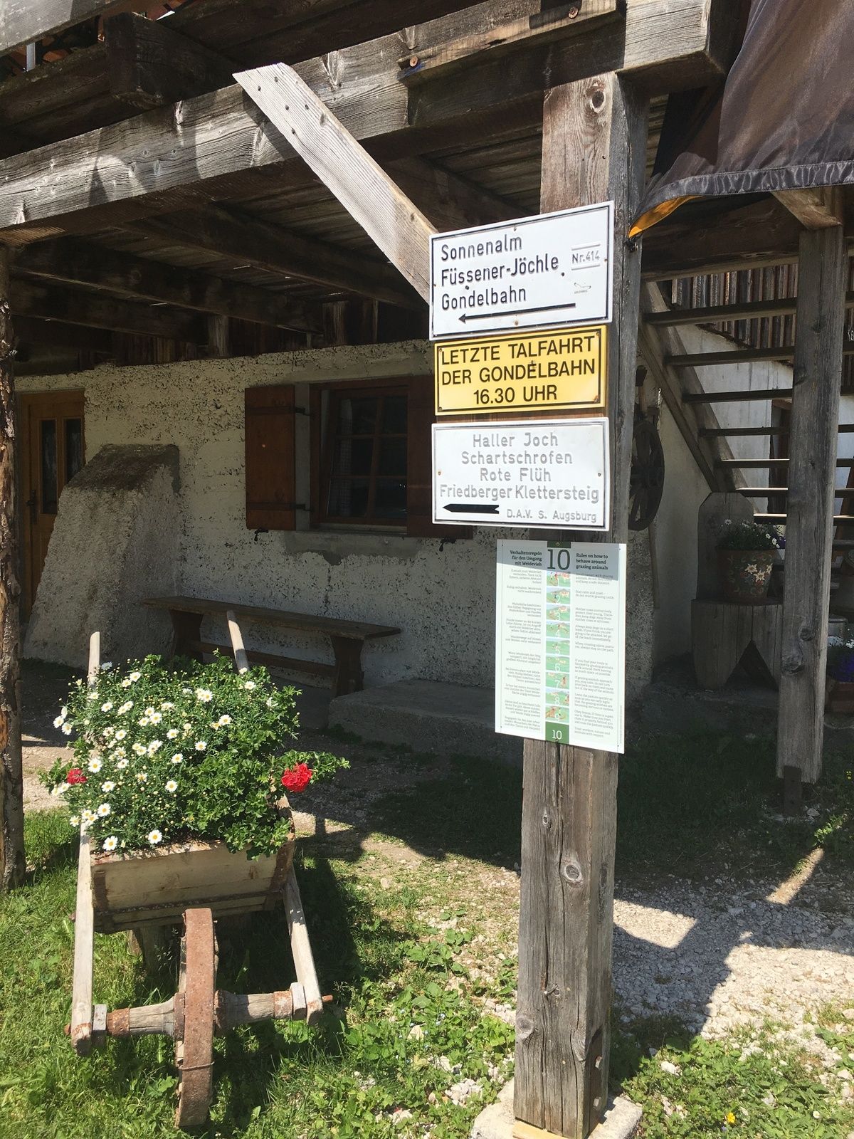
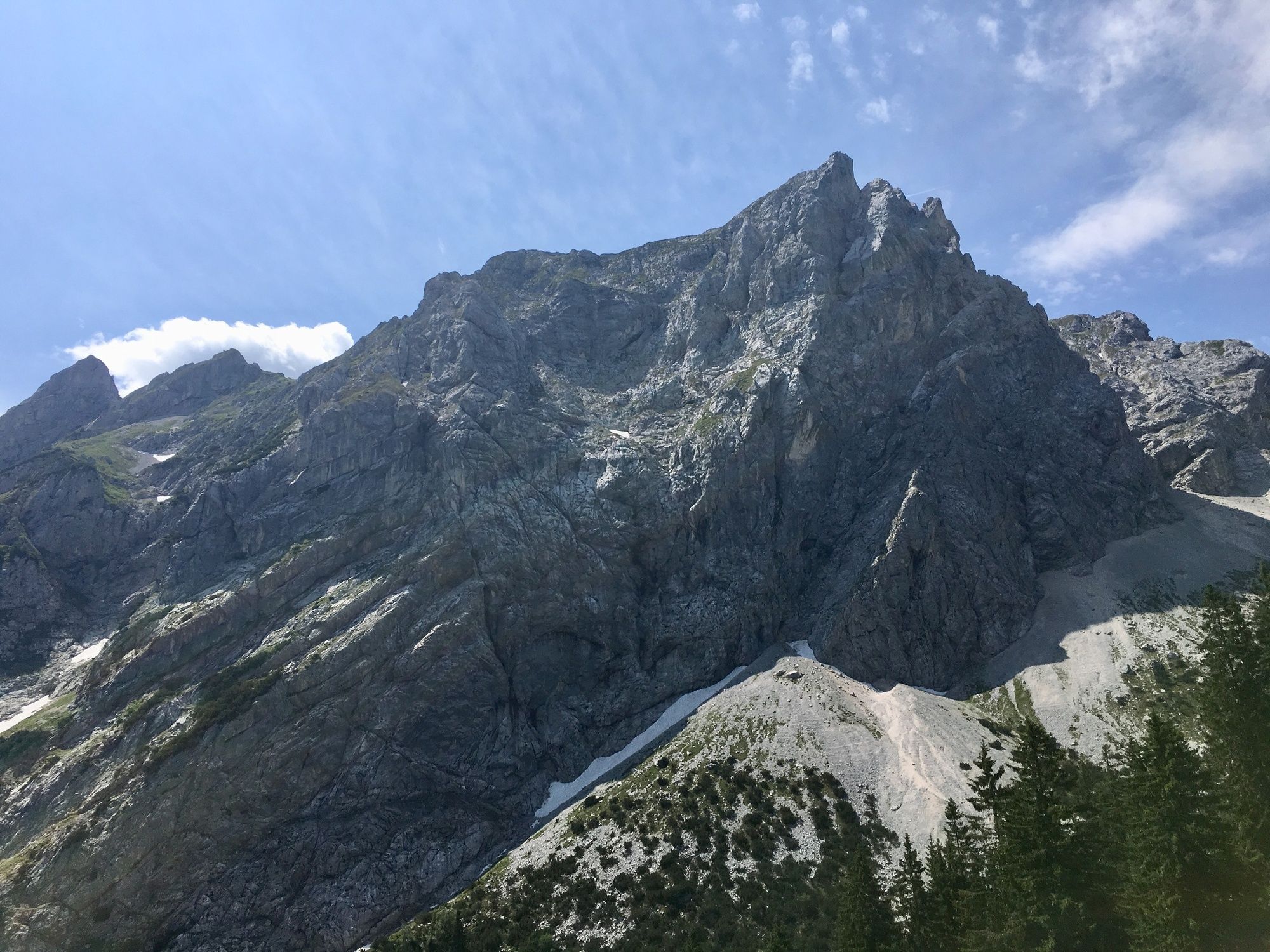
The hike to the Füssen hut follows easy paths into the world of the Tannheim mountains.
- Difficulté
-
moyen
- Évaluation
-
- Parcours
-
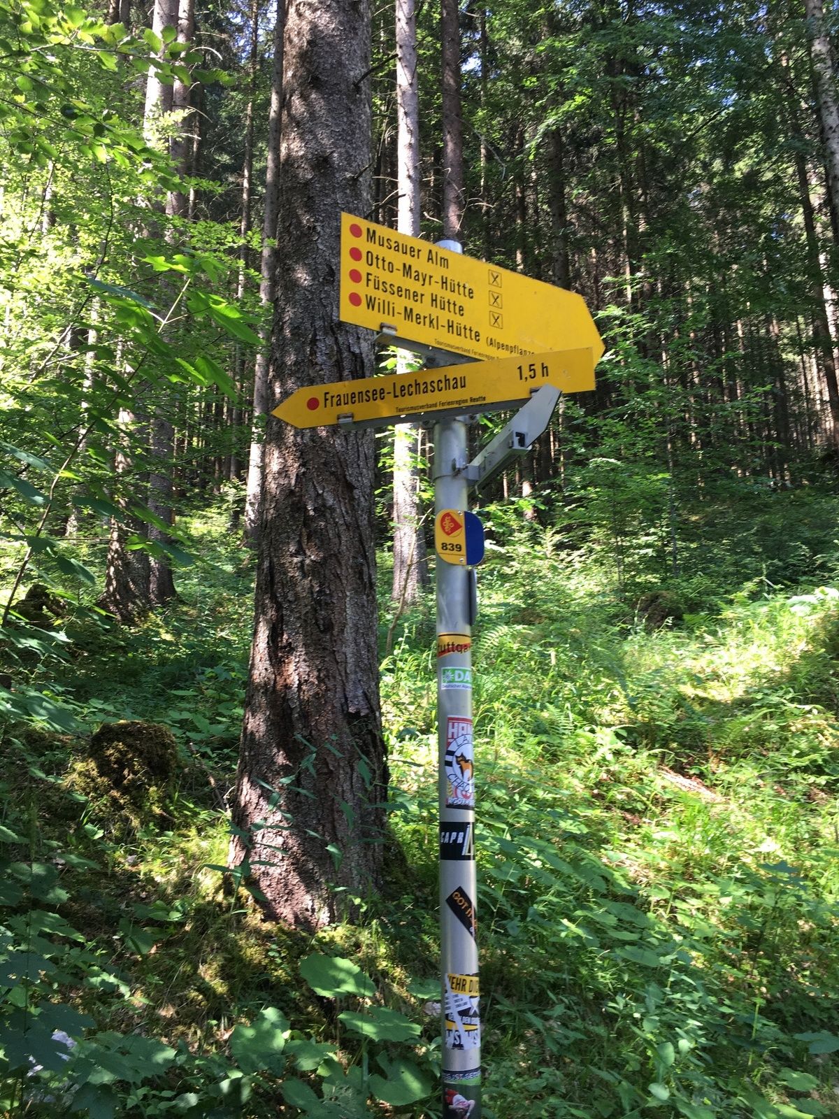
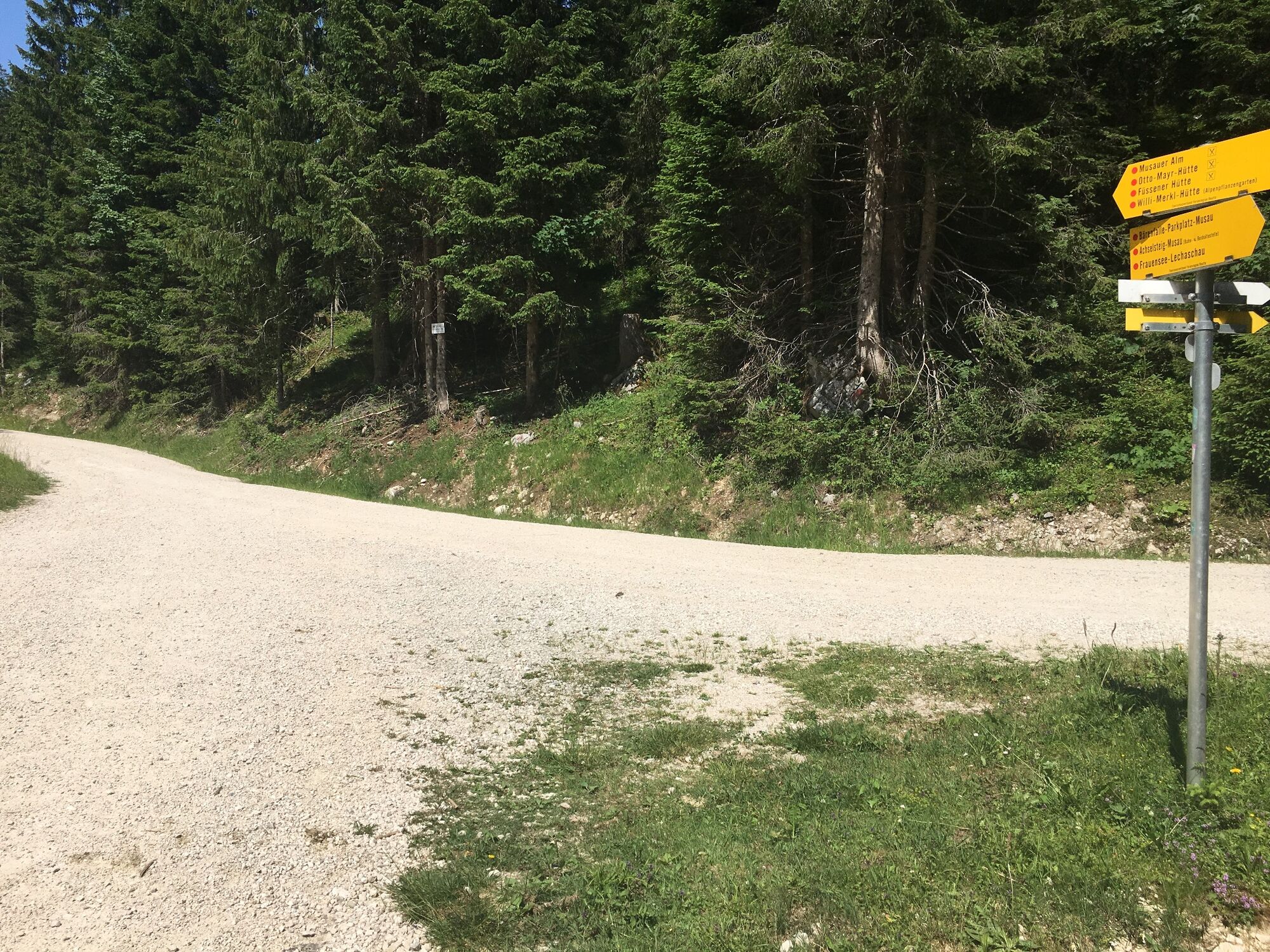
Bärenfalle0,0 kmReintal3,4 kmMusauer Alm5,1 kmFüssener Hütte7,9 kmMusauer Alm10,4 kmReintal12,2 kmBärenfalle15,7 km
- Meilleure saison
-
janv.févr.marsavrilmaijuinjuil.aoûtsept.oct.nov.déc.
- Hauteur maximale
- 1.538 m
- Point de mire
-
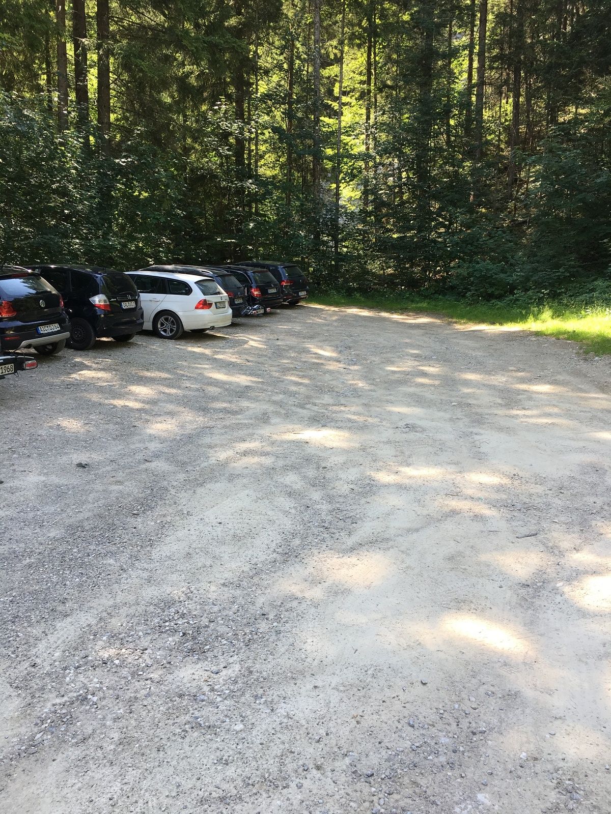
Roßschläg / parking lot Bärenfalle
- Profil en hauteur
-


- Auteur
-
La randonnée Raintal Tour to the Füssener Hut est utilisé par outdooractive.com fourni par.
GPS Downloads


Informations générales
Point de rassemblement
Secret
Prometteur
Autres parcours dans les régions
-
Allgäu
2357
-
Naturparkregion Reutte
1432
-
Musau
623


