© Österreichs Wanderdörfer - Bernhard Pichler
Dates des itinéraires
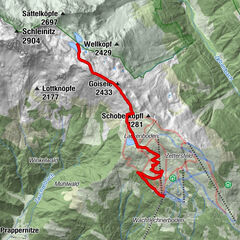
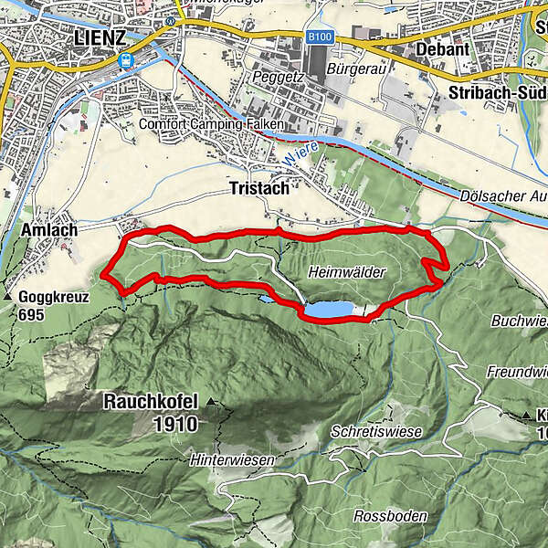
8,14km
661
- 889m
240hm
247hm
02:31h

Österreichs Wanderdörfer
- Difficulté
-
moyen
- Évaluation
-
- Parcours
-
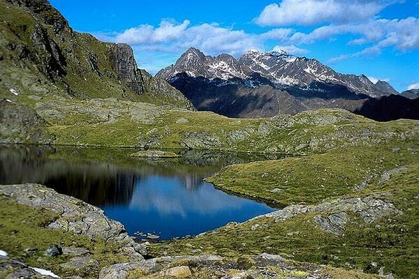
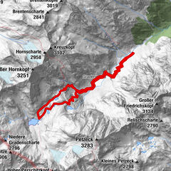
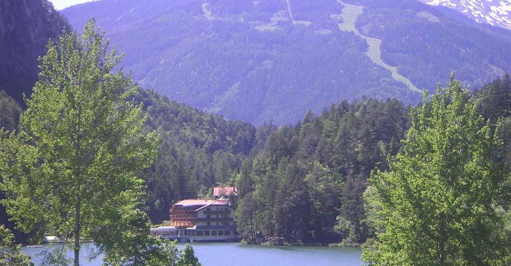
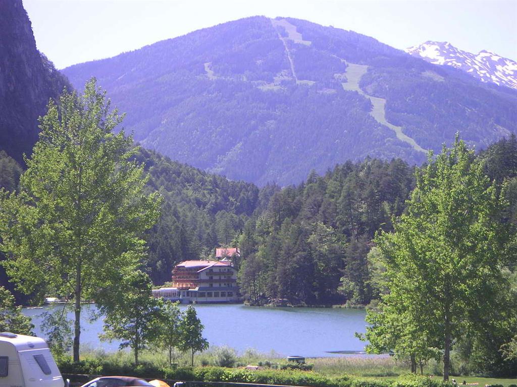
Ulrichsbichl0,0 kmGasthaus Seewiese3,6 kmTristach7,0 kmUlrichsbichl (686 m)8,1 km
- Meilleure saison
-
janv.févr.marsavrilmaijuinjuil.aoûtsept.oct.nov.déc.
- Hauteur maximale
- 889 m
- Point de mire
-
Ulrichsbichl, Amlach
- Profil en hauteur
-

-

-
AuteurÖsterreichs WanderdörferLa randonnée Tristachersee-Runde est utilisé par outdooractive.com fourni par.
GPS Downloads


Informations générales
Flore
Autres parcours dans les régions