© Alpbachtal - Shootandstyle Hannes Sautner
© Alpbachtal - Matthias Sedlak
© Alpbachtal - Matthias Sedlak

© Alpbachtal - Matthias Sedlak
© Alpbachtal - Matthias Sedlak
© Alpbachtal - Matthias Sedlak
© Alpbachtal - Matthias Sedlak

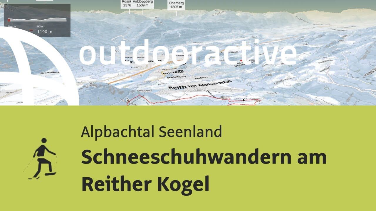
© Outdooractive – 3D Videos

- Brève description
-
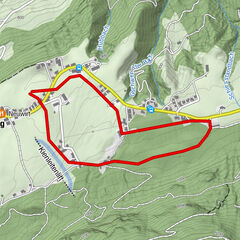
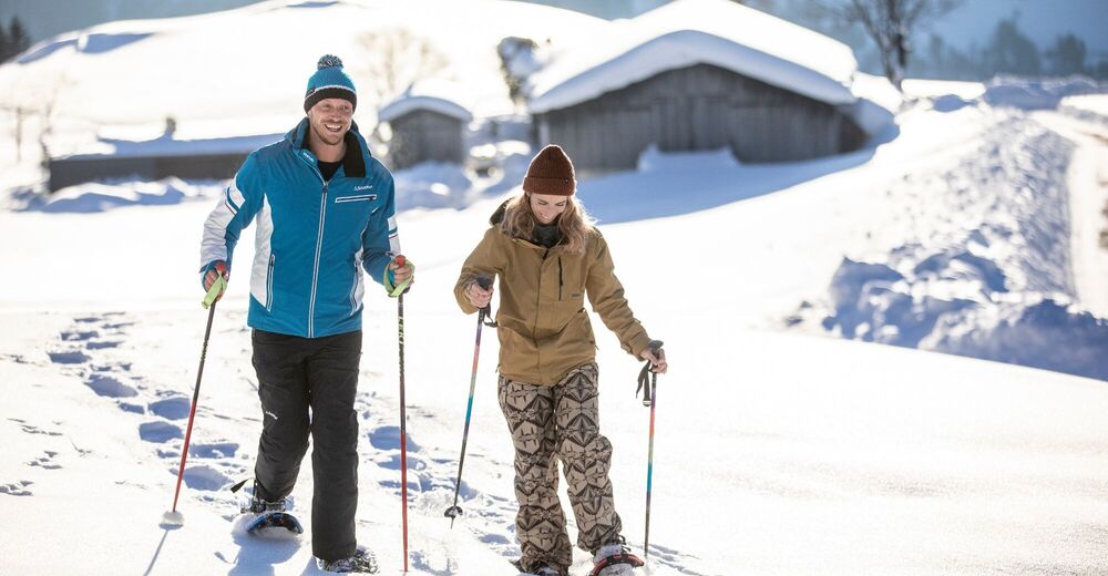
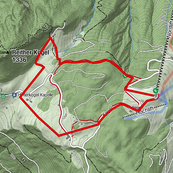
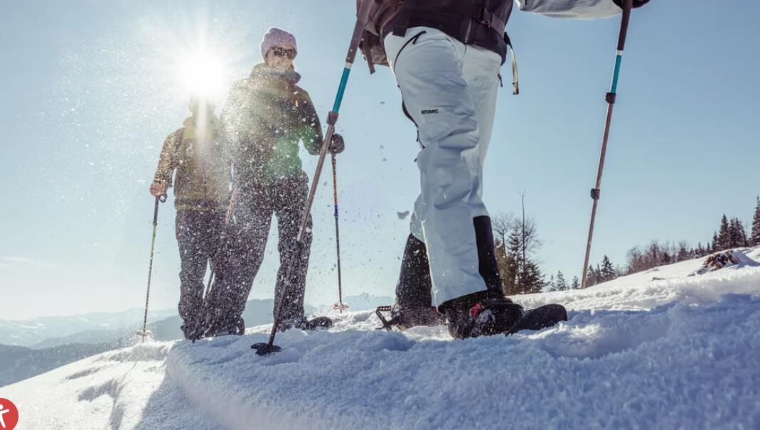
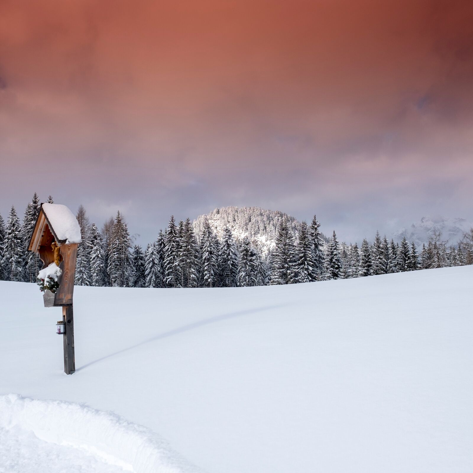
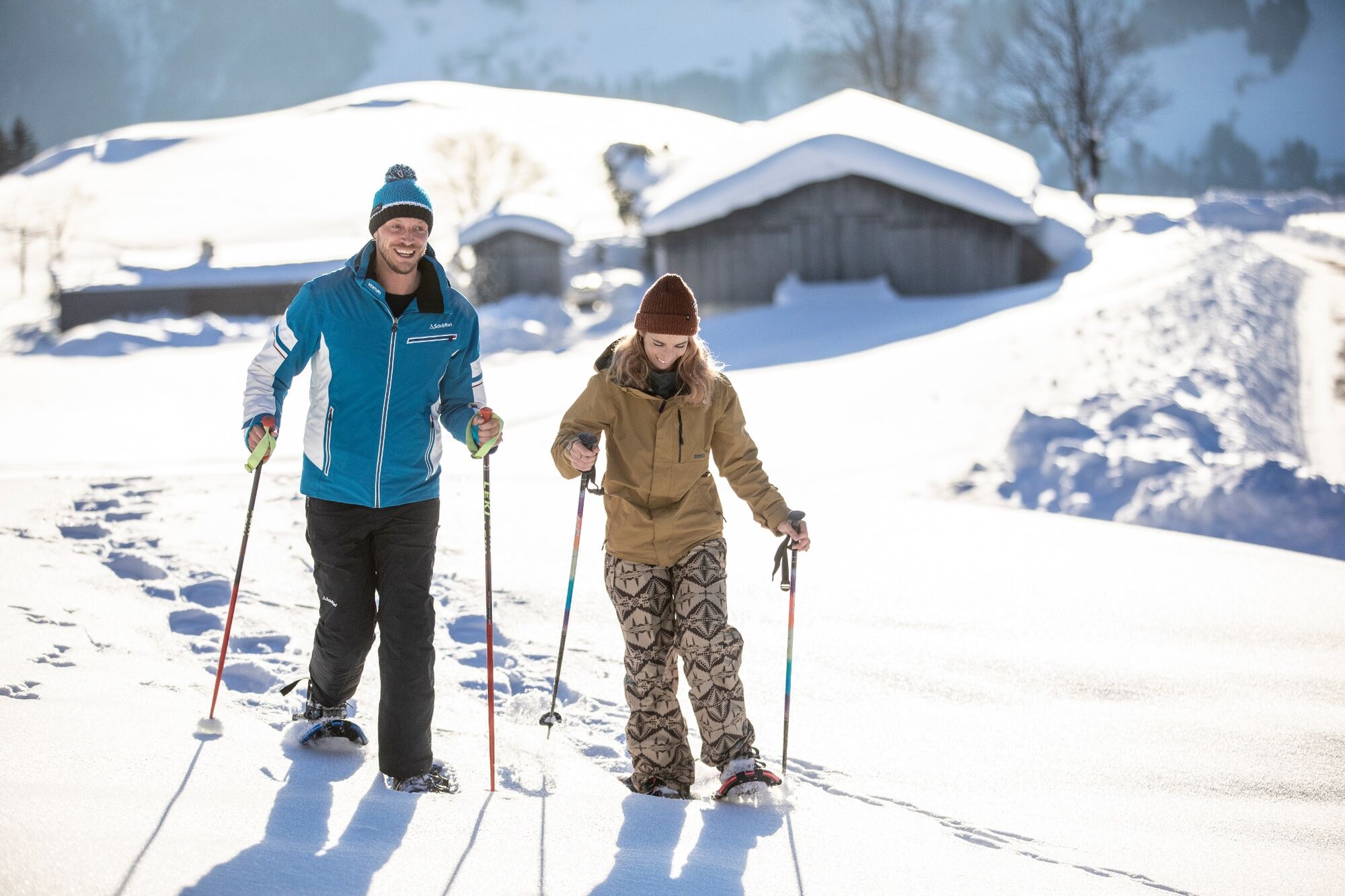
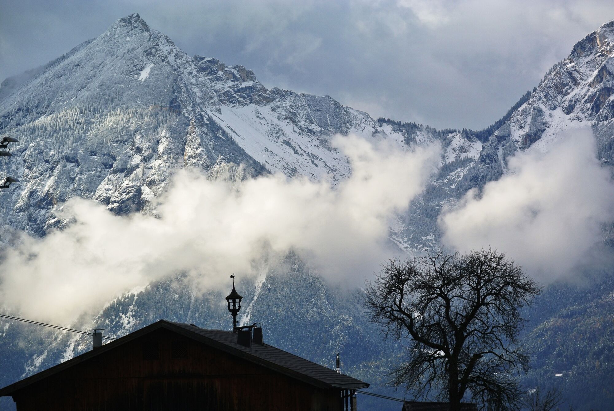
Snowshoe hike on the Reither Kogel offering wonderful views!
- Difficulté
-
facile
- Évaluation
-
- Parcours
-
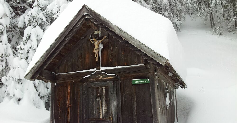
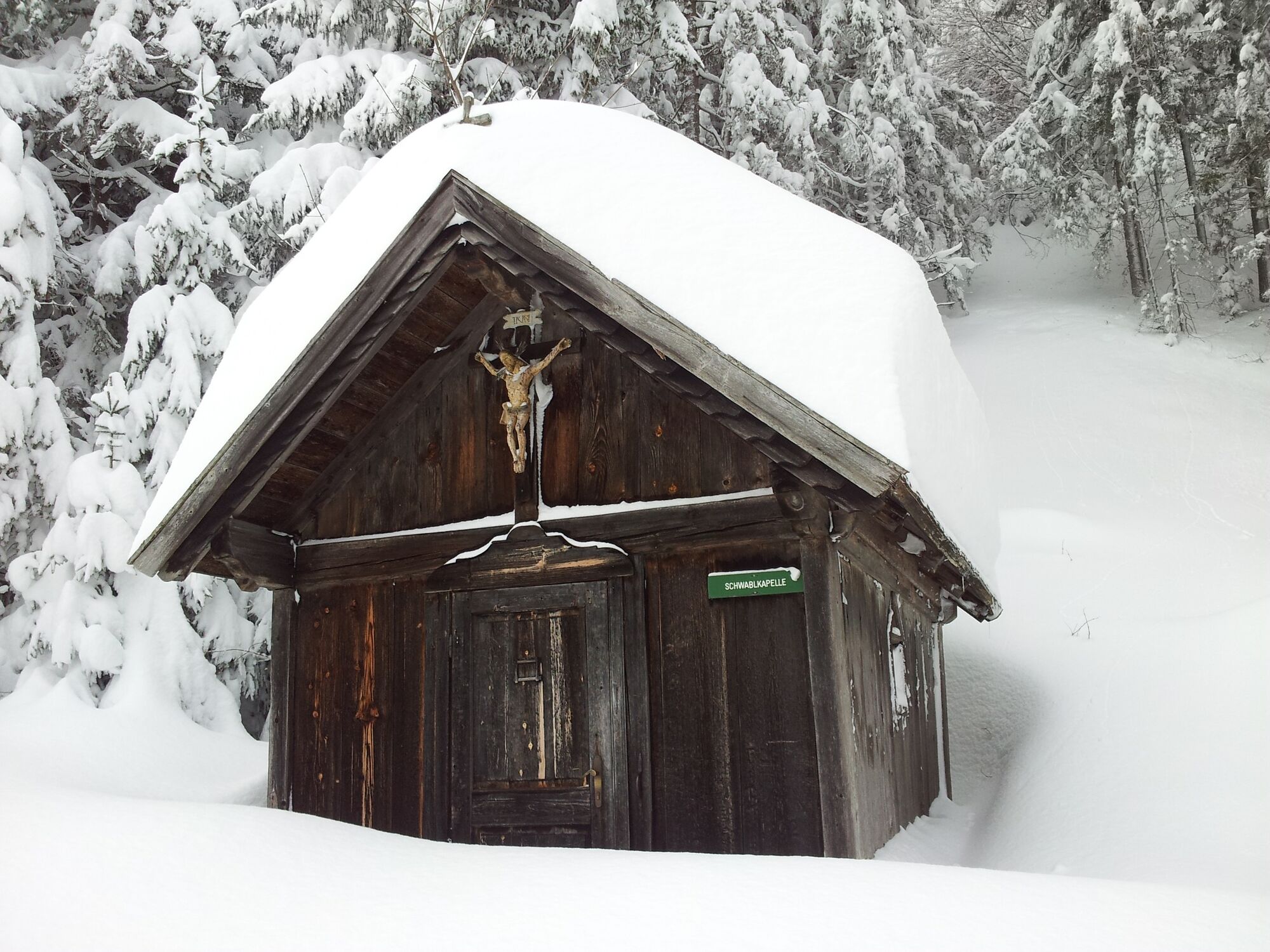
Schwabl Kapelle1,2 km
- Meilleure saison
-
aoûtsept.oct.nov.déc.janv.févr.marsavrilmaijuinjuil.
- Hauteur maximale
- 1.218 m
- Point de mire
-
Reitherkogelbahn top station
- Profil en hauteur
-


- Auteur
-
La randonnée Snowshoe hike Reither Kogel est utilisé par outdooractive.com fourni par.
GPS Downloads


Informations générales
Prometteur
Autres parcours dans les régions
-
Alpbachtal
35
-
Bruck am Ziller
17