© Alpbachtal Tourismus - Manuel Hufnagel
© Alpbachtal - Gabriele Grießenböck

© Alpbachtal Tourismus - shootandstyle

© Alpbachtal Tourismus - Gabriele Grießenböck

© Alpbachtal Tourismus

© Outdooractive – 3D Videos


- Brève description
-
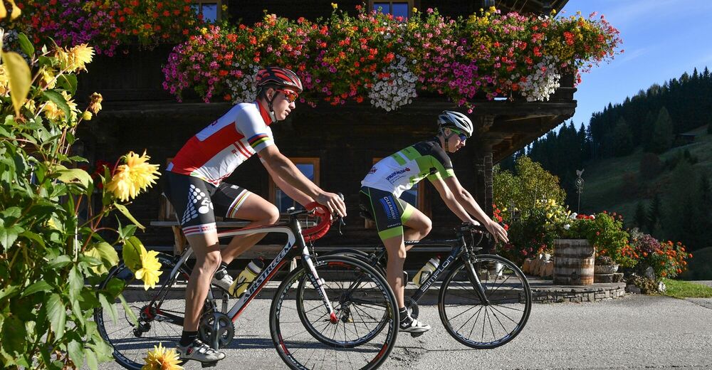
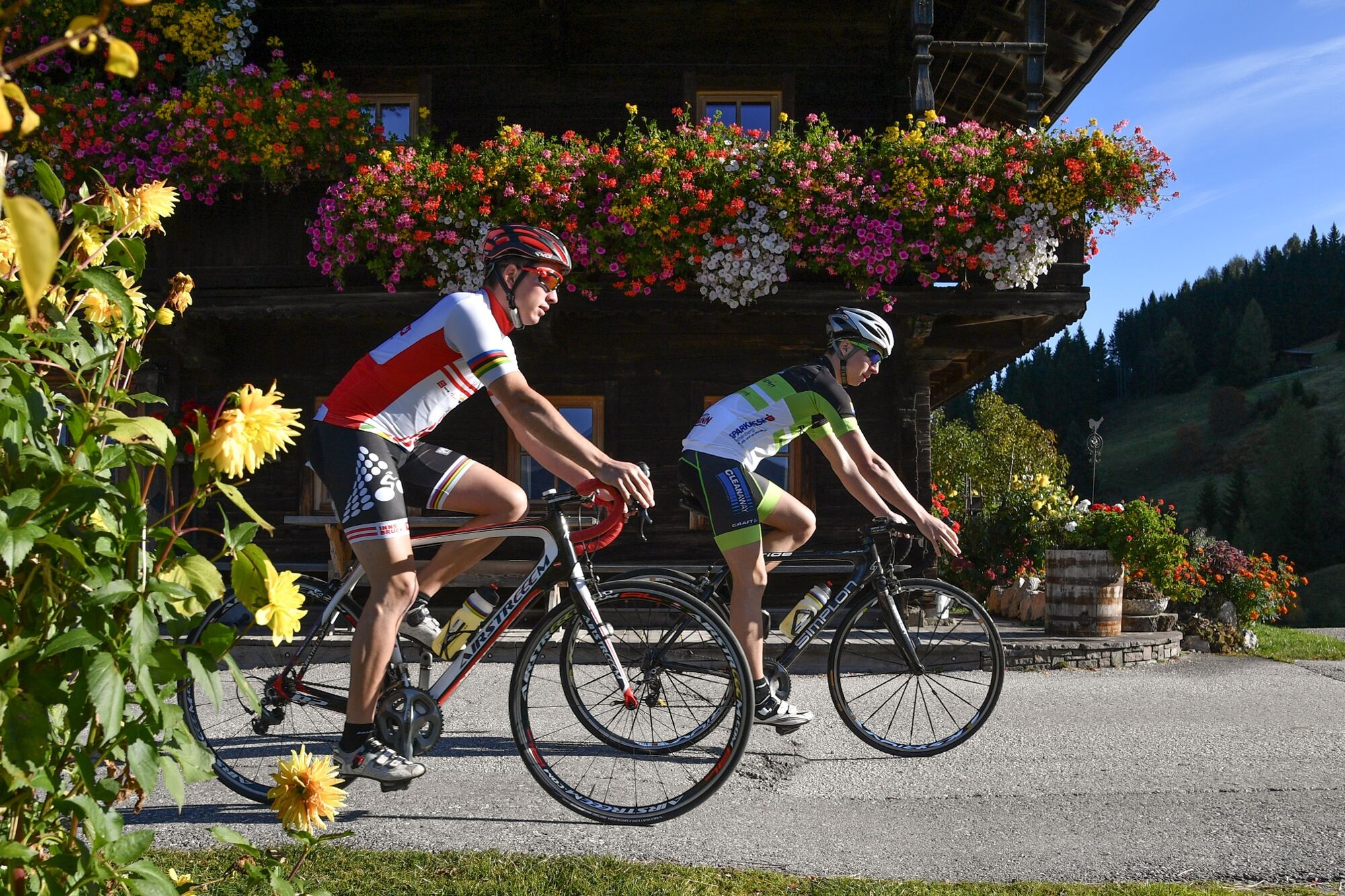
Beautiful, road bike tour with spectacular views perfectly suited for e-bike, road bike or mountain bike
- Difficulté
-
moyen
- Évaluation
-
- Parcours
-
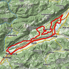
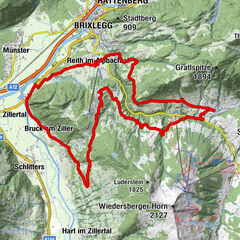
BrixleggMehrn (560 m)0,4 kmSonnbichl1,4 kmDekanatspfarrkirche St. Petrus1,9 kmReith im Alpbachtal (638 m)1,9 kmReither Anger (659 m)2,4 kmHygna (817 m)4,1 kmKapelle Maria vom Guten Rat4,3 kmGschwendt Almstüberl5,9 kmRosenkranz Kapelle7,0 kmGasthof Steinerhof8,8 kmSäulinger Hof10,5 kmBruck am Ziller (579 m)13,5 kmGasthof Dorfwirt13,6 kmPfarrkirche Bruck13,6 kmLandhauskapelle15,0 kmSankt Gertraudi (527 m)16,4 kmFilialkirche St. Gertraudi16,5 kmLichtwerth (529 m)17,7 kmRestaurant Gut Matzen18,3 kmWeng (526 m)19,1 kmBrixlegg19,5 km
- Meilleure saison
-
janv.févr.marsavrilmaijuinjuil.aoûtsept.oct.nov.déc.
- Hauteur maximale
- 1.107 m
- Point de mire
-
Brixlegg
- Profil en hauteur
-


- Auteur
-
La randonnée Kerschbaum Saddle (502) est utilisé par outdooractive.com fourni par.
GPS Downloads


Informations générales
Prometteur
Autres parcours dans les régions
-
Alpbachtal
44
-
Bruck am Ziller
18