Dates des itinéraires
27,48km
657
- 864m
255hm
02:00h
- Brève description
-
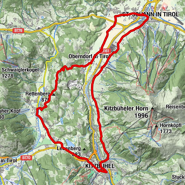
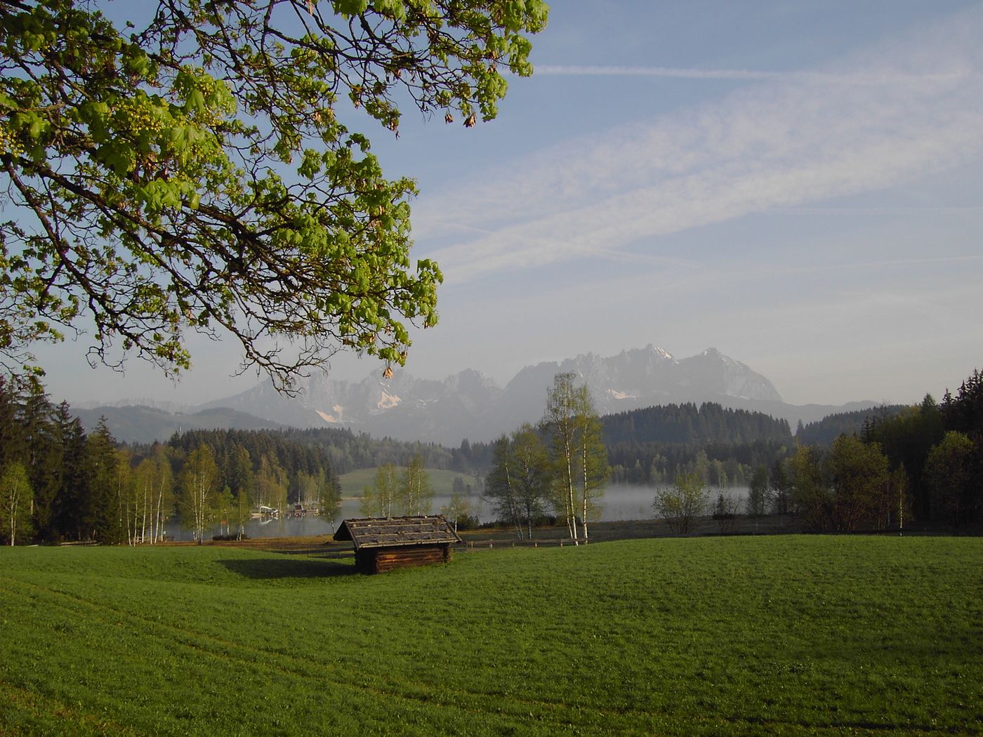
St. Johann in Tirol - Oberndorf - Römerweg - Kitzbühel - Reith - Oberndorf - St. Johann in Tirol
(*) = Anschluss: Brixental-Route oder über Jochberg/Pass Thurn zum Tauern-Radweg
- Évaluation
-
- Point de départ
-
St. Johann in Tirol Parkplatz Dampflfeld
- Parcours
-
St. Johann in Tirol0,4 kmParzach0,7 kmApfeldorf1,5 kmFixlweber1,9 kmFoidler2,0 kmWeiberndorf2,3 kmBlumberg3,7 kmKitzbühel10,8 kmFranziskanerkirche11,6 kmFotomotiv Schwarzsee13,7 kmPipino's13,8 kmMünichau15,7 kmSchloss Münichau15,7 kmMünichau15,9 kmReith bei Kitzbühel17,0 kmOberndorf in Tirol22,6 kmDorfwirt22,7 kmPizzeria Marco22,7 kmPfarrkirche Oberndorf22,8 kmEberhartling23,8 kmSperten25,0 kmWeitau26,3 kmSt. Johann in Tirol27,4 km
- Hauteur maximale
- 864 m
- Repos/Rassembler
-
diverse Cafés und Gasthäuser in St. Johann, Oberndorf oder Kitzbühel
- Cartes
-
In allen Infobüros: St. Johann in Tirol - Oberndorf - Kirchdorf - Erpfendorf
- Informations par téléphone
-
0043 5352 63335 0
- Link
- www.kitzbueheler-alpen.com/de/st-johann
GPS Downloads


Circuits
Asphalte
Gravier
Forêt
Sentiers de montagne
Sentiers singletrail
Trial
Circulation
Autres parcours dans les régions
-
Kitzbühel
168
-
Oberndorf in Tirol
39