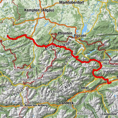
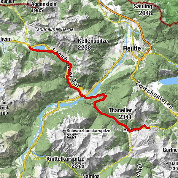
St. James way Section 4 Berwang - Haldensee

Chemin de pèlerinage


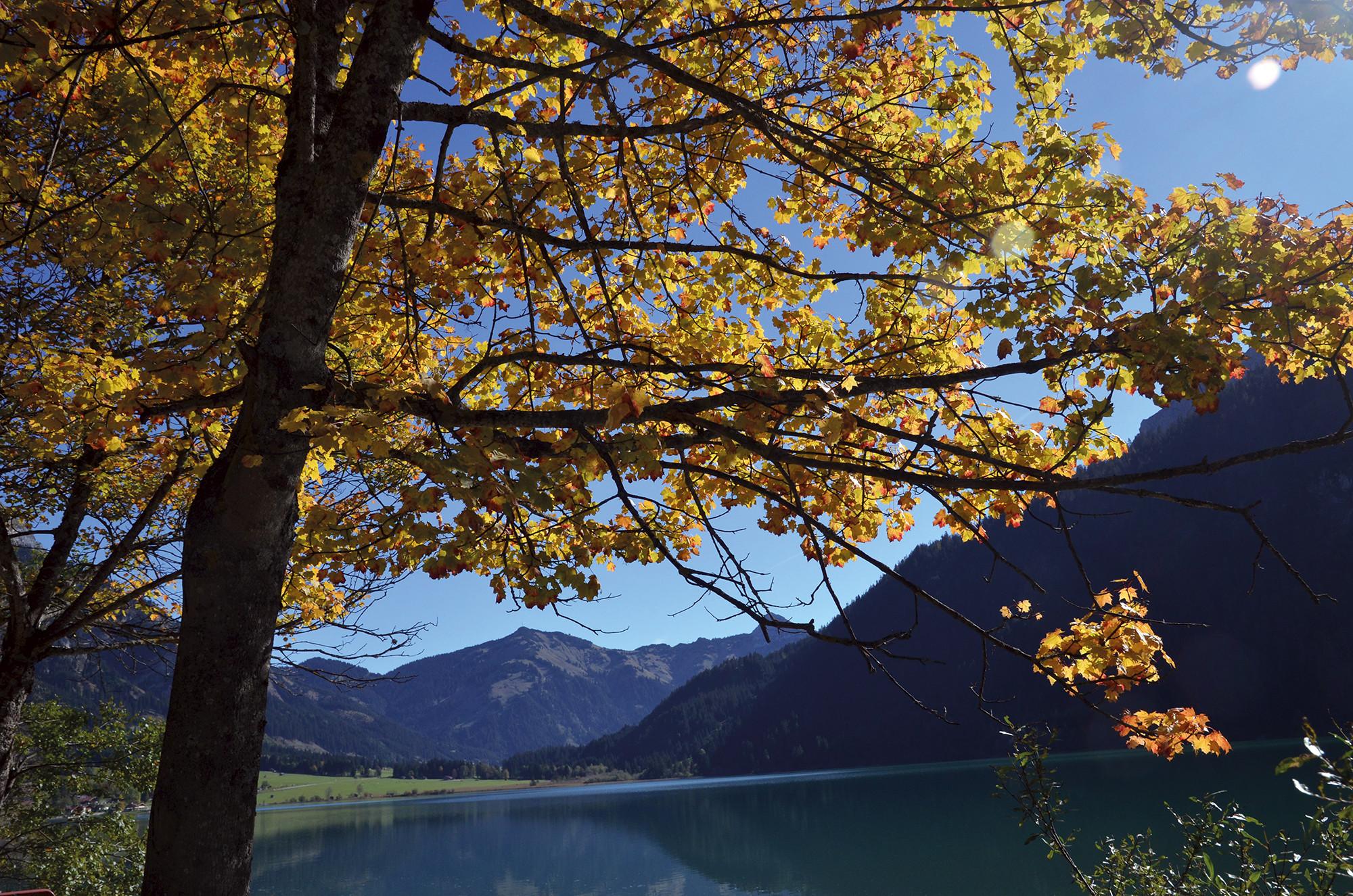
© Tannheimer Tal - Tourismusverband Tannheimer Tal
- Brève description
-
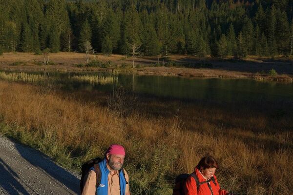
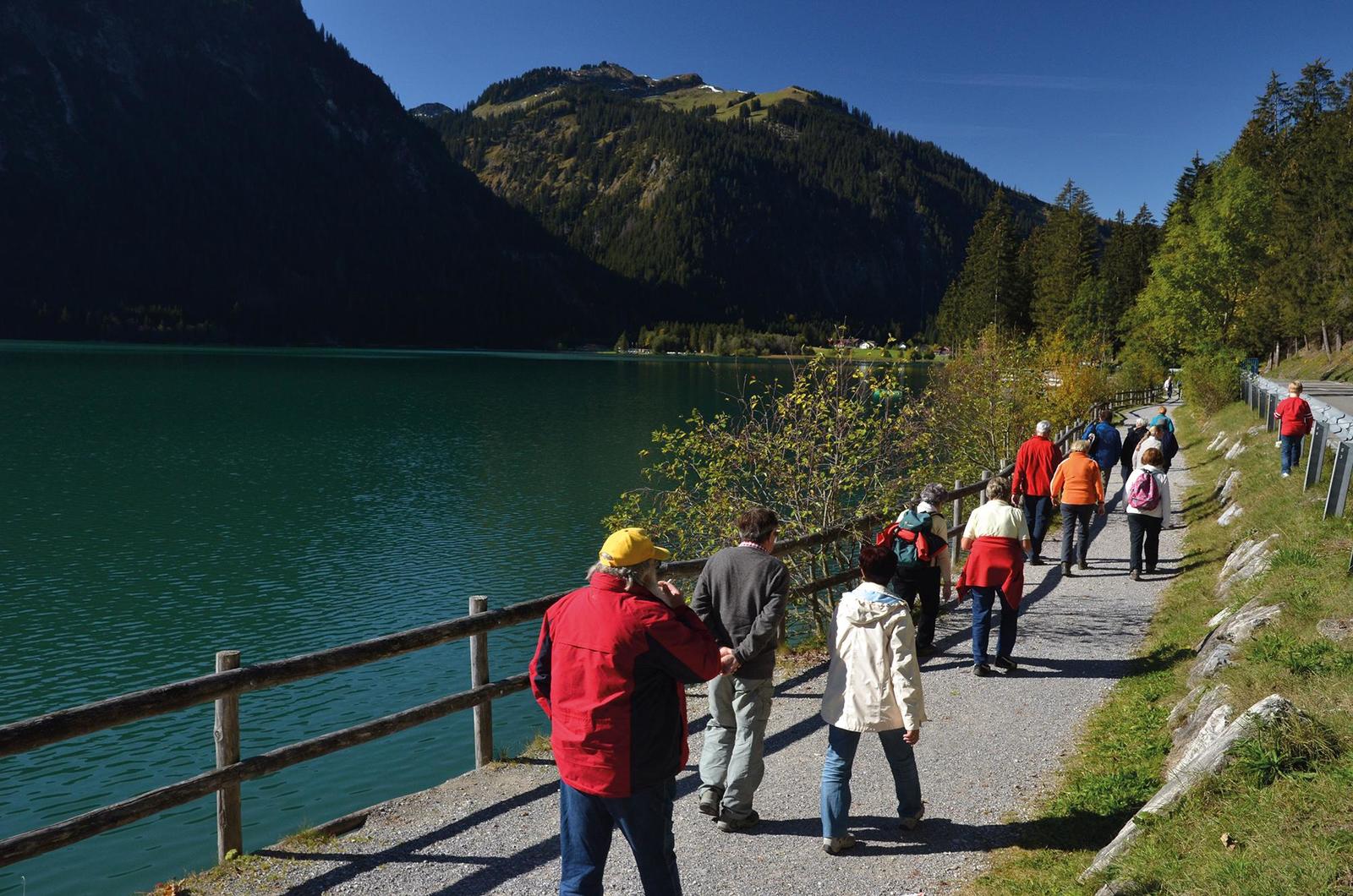
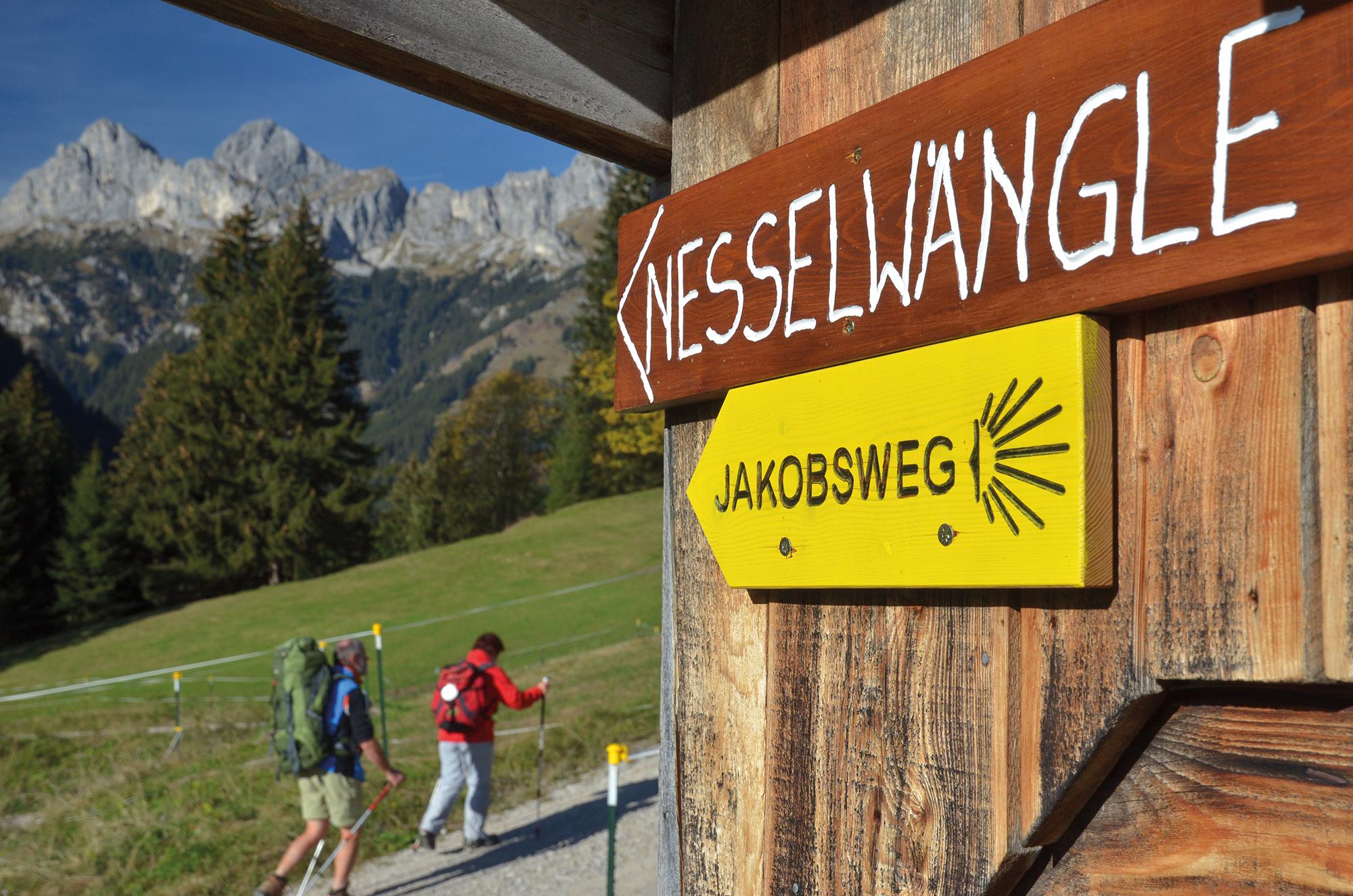
Scenically varied route through the quiet Rotlechtal valley down to Rieden and Weißenbach am Lech, then on the old Gaichtpassweg up to the sunny Tannheimer Tal.
- Difficulté
-
moyen
- Évaluation
-
- Parcours
-
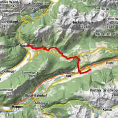
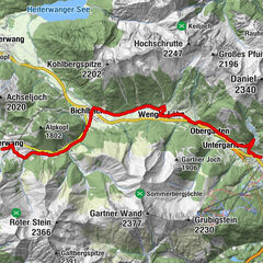
Berwang (1.342 m)Kaminstube Thanellerkar0,5 kmSankt-Sebastian Kapelle2,3 kmStadl Bräu2,3 kmRotlechwasserfall2,6 kmRinnen2,6 kmRieden11,4 kmKapelle zum hl. Georg11,5 kmGasthaus Kreuz11,5 kmWeißenbach am Lech (885 m)13,7 kmDorfkirche13,8 kmFriedhofskapelle14,0 kmUntergaicht15,4 kmGaichtkapelle15,5 kmWeidekapelle16,9 kmGasthof Gaichtspitze17,3 kmGaicht17,3 kmKapelle auf der Gaicht17,3 kmNesselwängle (1.136 m)20,6 kmKrinnenalpe21,2 kmSchmitte21,5 kmTauscher's Alm24,3 kmSt. Jakobus24,7 kmHaldensee24,9 km
- Meilleure saison
-
janv.févr.marsavrilmaijuinjuil.aoûtsept.oct.nov.déc.
- Hauteur maximale
- 1.349 m
- Point de mire
-
Haldensee
- Profil en hauteur
-


- Auteur
-
La randonnée St. James way Section 4 Berwang - Haldensee est utilisé par outdooractive.com fourni par.
GPS Downloads


Informations générales
Point de rassemblement
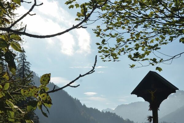
Culturel/Historiquement
Flore
Faune
Prometteur
Autres parcours dans les régions
-
Allgäu
2357
-
Naturparkregion Reutte
1432
-
Weißenbach am Lech
437