Dates des itinéraires
15,15km
771
- 1.364m
630hm
631hm
04:00h
- Brève description
-
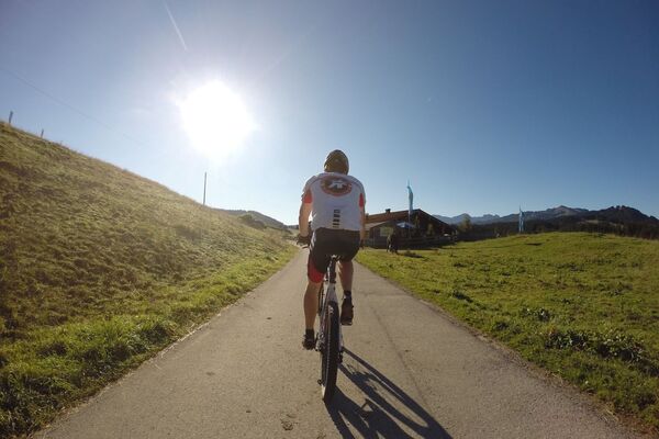
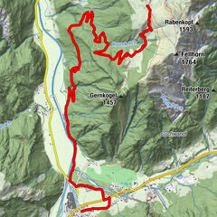
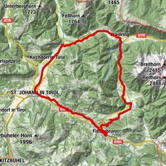
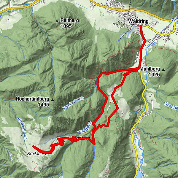
Anspruchsvolle Tour durch die beeindruckende Weißbachschlucht mit Blick auf den Wilden Kaiser und die Loferer Steinberge
- Difficulté
-
moyen
- Évaluation
-
- Point de départ
-
Waidring Parkplatz "Gasthof Oberweißbach"/Waidring Ortsmitte
- Parcours
-
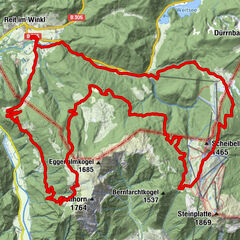
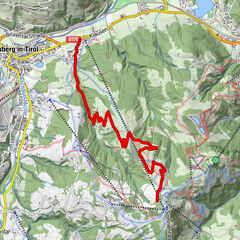
Gasthof zur Post0,0 kmWaidring0,0 kmSchneidermann0,1 kmRechensaukapelle12,0 kmAlpengasthof Oberweissbach12,1 kmWaidring14,9 kmSchneidermann14,9 kmGasthof zur Post14,9 km
- Meilleure saison
-
janv.févr.marsavrilmaijuinjuil.aoûtsept.oct.nov.déc.
- Hauteur maximale
- 1.364 m
- Repos/Rassembler
-
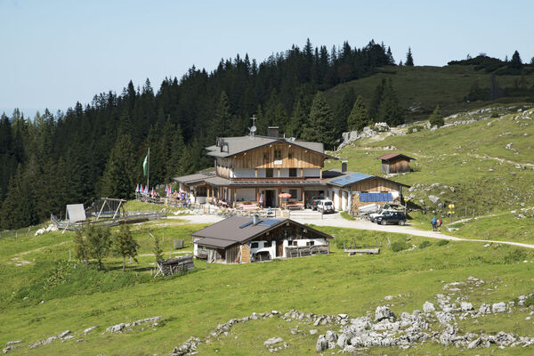
Alpengasthof Oberweißbach, Gasthof St. Adolari, Lokale in Waidring
- Cartes
-
Tourismusverband PillerseeTal
- Informations par téléphone
-
+43 (0)5354 / 56304
- Link
- www.pillerseetal.at
GPS Downloads


Circuits
Asphalte
Gravier
Forêt
Sentiers de montagne
Sentiers singletrail
Trial
Circulation
Autres parcours dans les régions
-
Pillerseetal
427
-
Waidring
101