Tögischer Bachl (Defereggental)

Logo Tögischer Bachl (Defereggental)
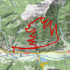
Dates des itinéraires
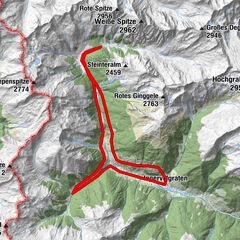
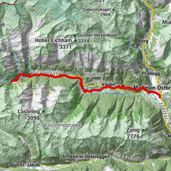
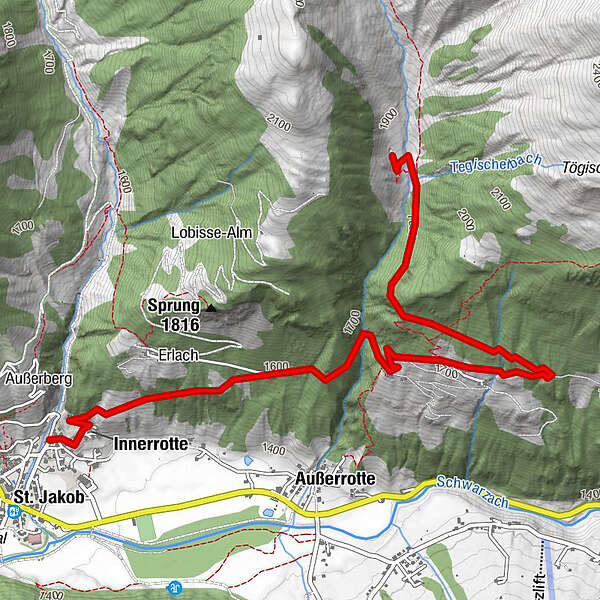
4km
-
Distance
430hm
Montée
01:30h
 
Durée
Difficulté
moyen
Évaluation
Technique
Endurance
Paysage
Résultat

Meilleure saison
janv.
févr.
mars
avril
mai
juin
juil.
août
sept.
oct.
nov.
déc.


Informations par téléphone

0043 50 212 600

Link
http://maps.osttirol.com

Évaluation globale

5

0

%

4

0

%

3

0

%

2

0

%

1

0

%

Erreur
Une erreur est survenue. Veuillez réessayer.
Merci pour votre évaluation

L'évaluation a été supprimée

GPS Downloads
  • GPX GPS Exchange Format (XML)
  • KML Google Earth, Google Maps
Codes de téléchargement QR pour les téléphones portables

Circuits

Asphalte
Gravier
Forêt
Sentiers de montagne
Sentiers singletrail
Trial
Circulation
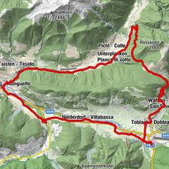
Autres parcours dans les régions

Randonnées populaires dans la région

Über Frondeigen ins Gsiesertal und zurück nach Toblach

difficile VTT
35,67km | 597hm | 04:00h

Villgratental

VTT
49,3km | 2000hm | 01:09h

Radweg Virgental Nr. 132

moyen VTT
48,22km | 987hm | 06:00h