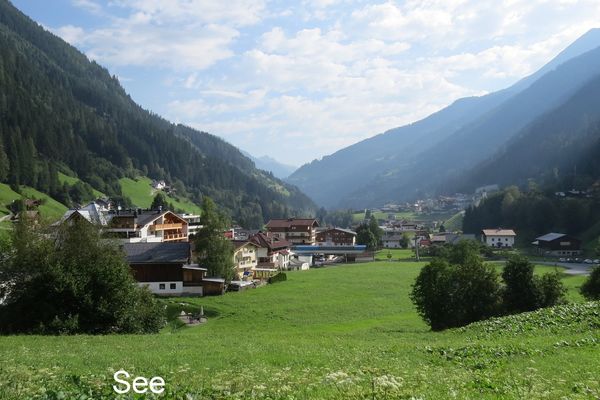
© Engadin Samnaun Val Müstair - © TVB Paznaun - Ischgl

© Engadin Samnaun Val Müstair - © TVB Paznaun - Ischgl

- Brève description
-
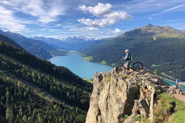
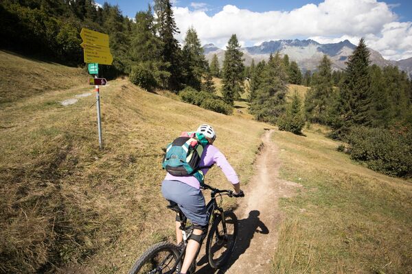
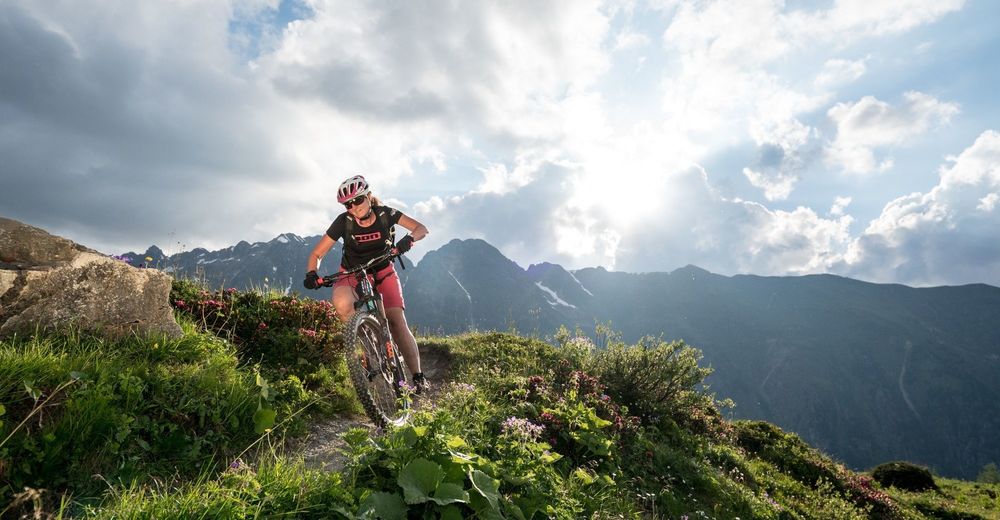
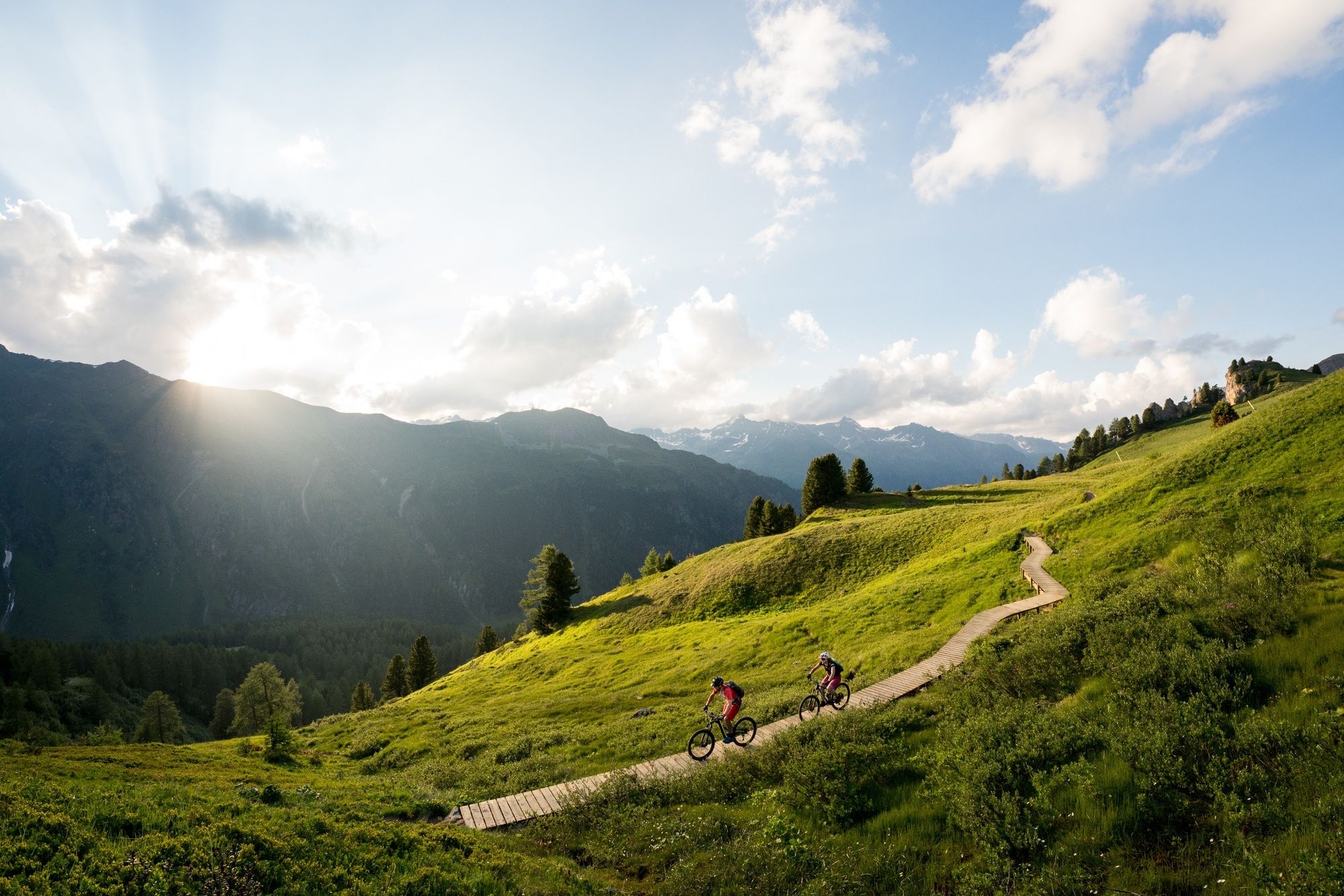
A somewhat more challenging route over lush meadows and wooden footbridges with a short section for pushing. Enjoy the view on the Greitspitz and a stop at the Paznauner Taja is highly recommended.
- Difficulté
-
moyen
- Évaluation
-
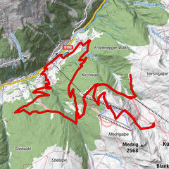
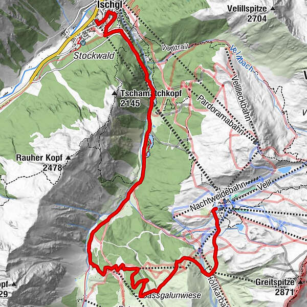
- Parcours
-
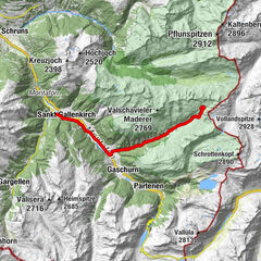
Idalpe (2.319 m)Vider Alp0,1 kmSchwarzwasserlift7,3 kmSchwarzwasserlift7,9 kmIschgl (1.377 m)11,0 kmSankt Nikolaus11,0 km
- Meilleure saison
-
janv.févr.marsavrilmaijuinjuil.aoûtsept.oct.nov.déc.
- Hauteur maximale
- 2.282 m
- Point de mire
-
Ischgl Silvrettabahn
- Profil en hauteur
-


- Auteur
-
La randonnée Paznauner Taja Trail l.10 est utilisé par outdooractive.com fourni par.
GPS Downloads


Circuits
Trial
Autres parcours dans les régions
-
Paznaun - Ischgl
259
-
Ischgl
118