
Dates des itinéraires
25,52km
627
- 1.793m
1.197hm
02:30h

- Difficulté
-
difficile
- Évaluation
-
- Point de départ
-
Mayrhofen auf 630 m Seehöhe
- Parcours
-
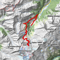
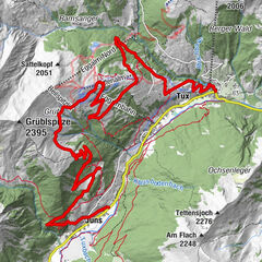
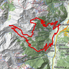
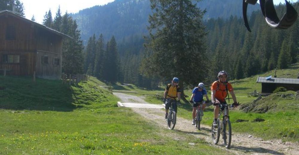
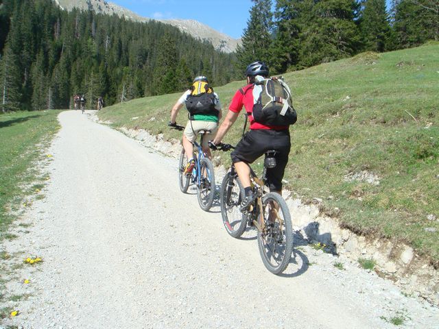
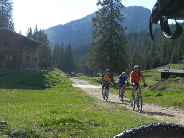
Mayrhofen im ZillertalMayrhofen (633 m)0,4 kmDorf-Haus1,5 kmHochsteg3,5 kmCanyoning Blaue Lagune Ausstieg4,7 kmCanyoning Blaue Lagune Einstieg6,2 kmGasthof Pension Schwarzenstein10,0 kmGinzling10,6 kmAltginzling10,6 kmDornauberg10,8 kmRauth12,3 kmAlpengasthaus Breitlahner17,6 km
- Hauteur maximale
- 1.793 m
- Repos/Rassembler
-
mehrere Gästhäuser in Ginzling
Gasthof Breilahner 1.257 m
Schlegeis Restaurant 1.785 m
Dominikushütte 1.805 m - Cartes
-
Kompass K37, Kompass K037, Mountainbike-Karte hinteres Zillertal
GPS Downloads


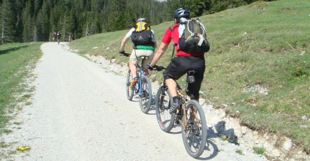
Circuits
Asphalte
(25,4 km)
Gravier
Forêt
Sentiers de montagne
Sentiers singletrail
Trial
Circulation
Autres parcours dans les régions
-
Brixen und Umgebung
227
-
Tux - Finkenberg
212
-
Ginzling
25
")