© Alpbachtal Tourismus - AS Tourismus/Matthias Sedlak

© Alpbachtal Tourismus - Manuel Hufnagel

© Alpbachtal Tourismus - Gabriele Grießenböck
© Alpbachtal Tourismus - Manuel Hufnagel

© Outdooractive – 3D Videos

© Alpbachtal Tourismus - Manuel Hufnagel

© Alpbachtal Tourismus - Manuel Hufnagel

- Brève description
-
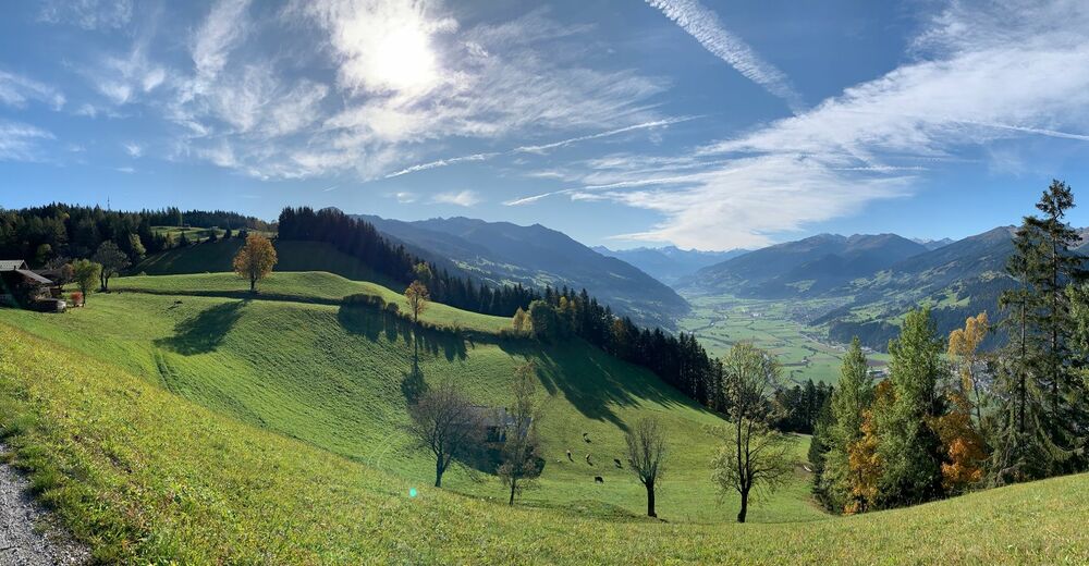
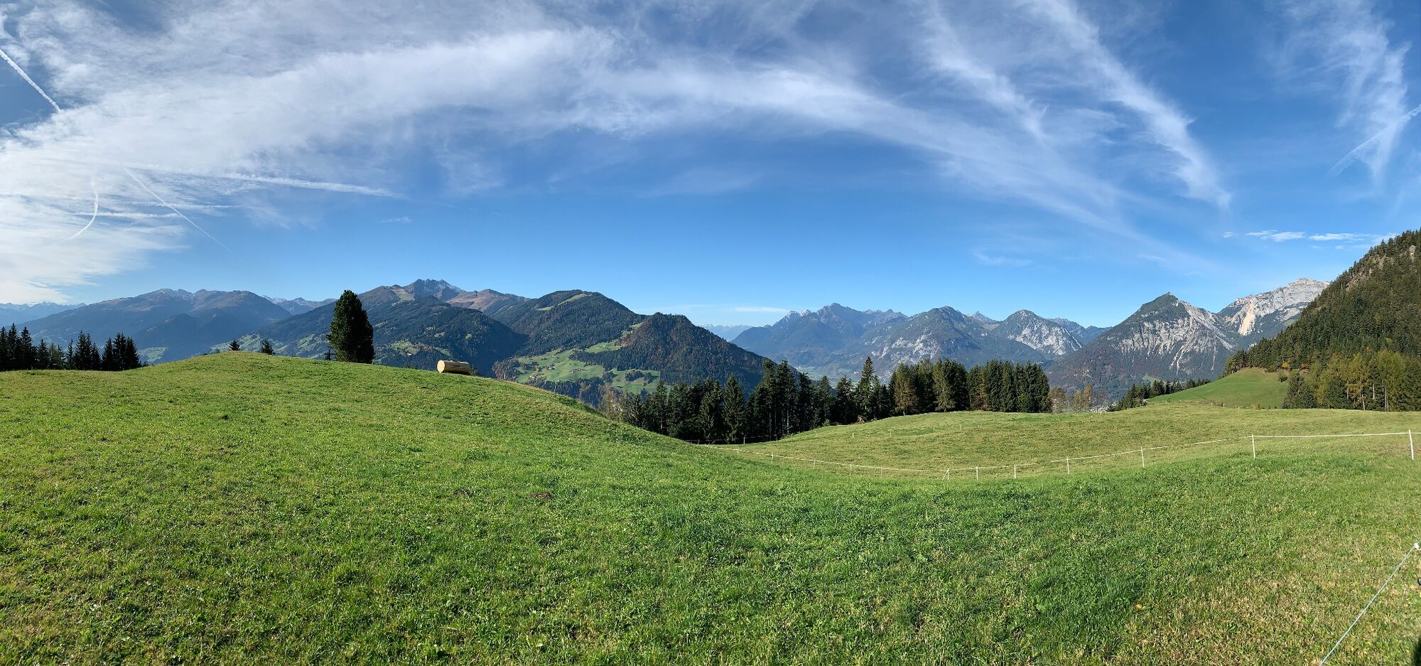
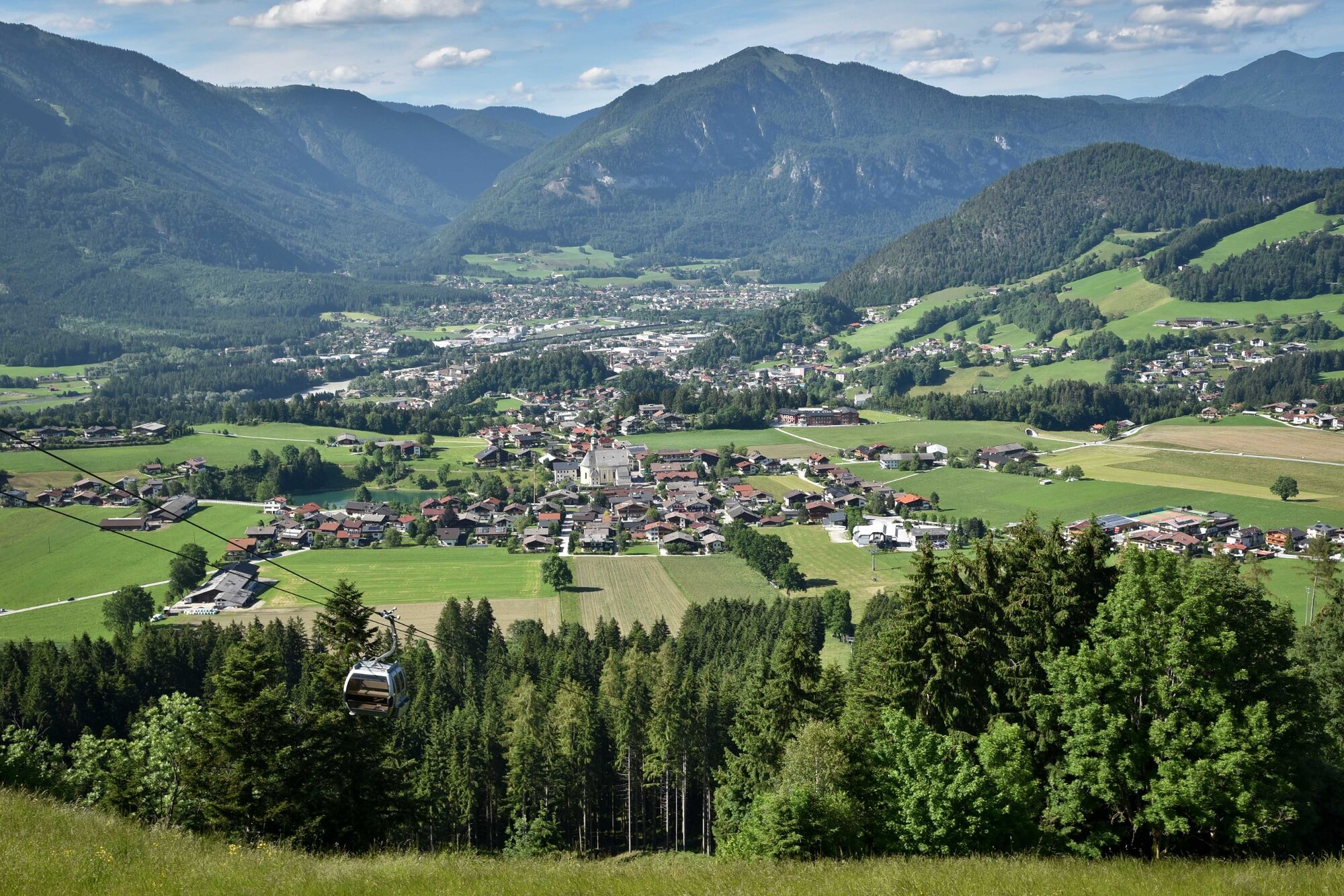
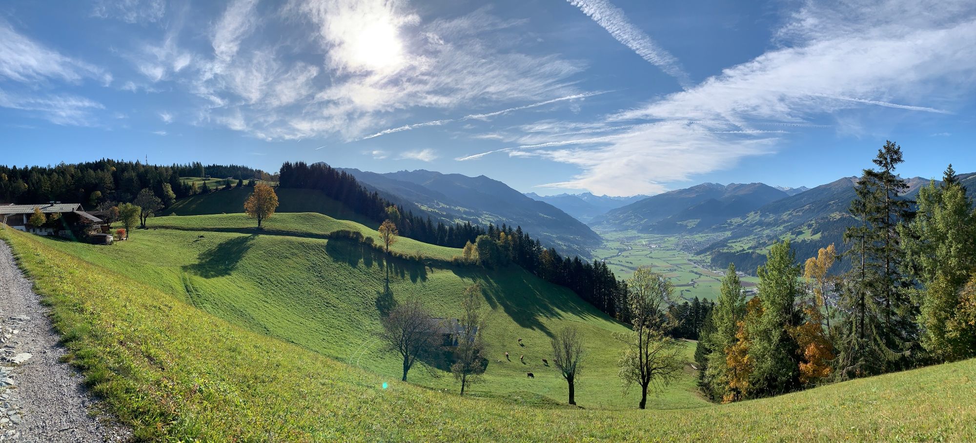
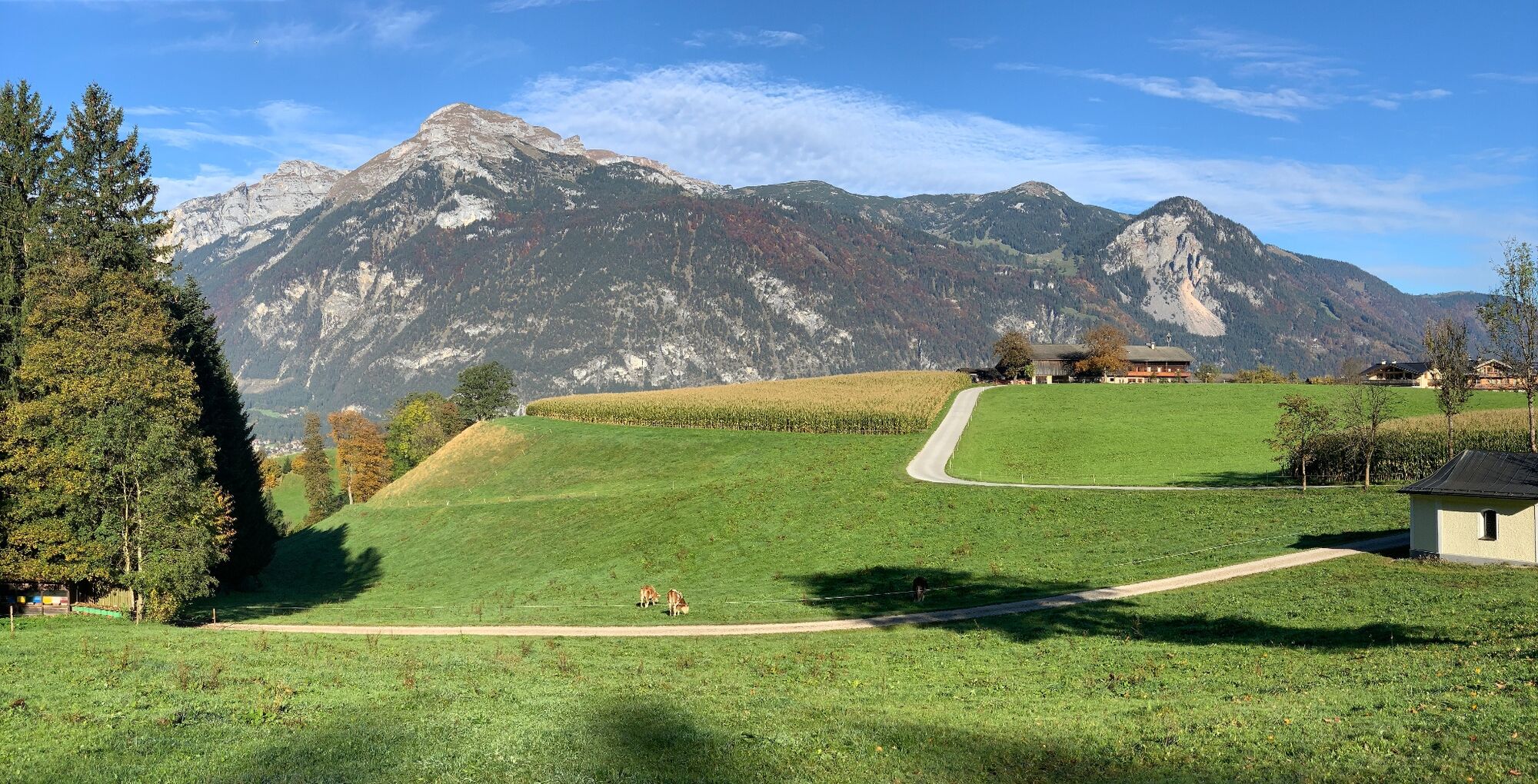
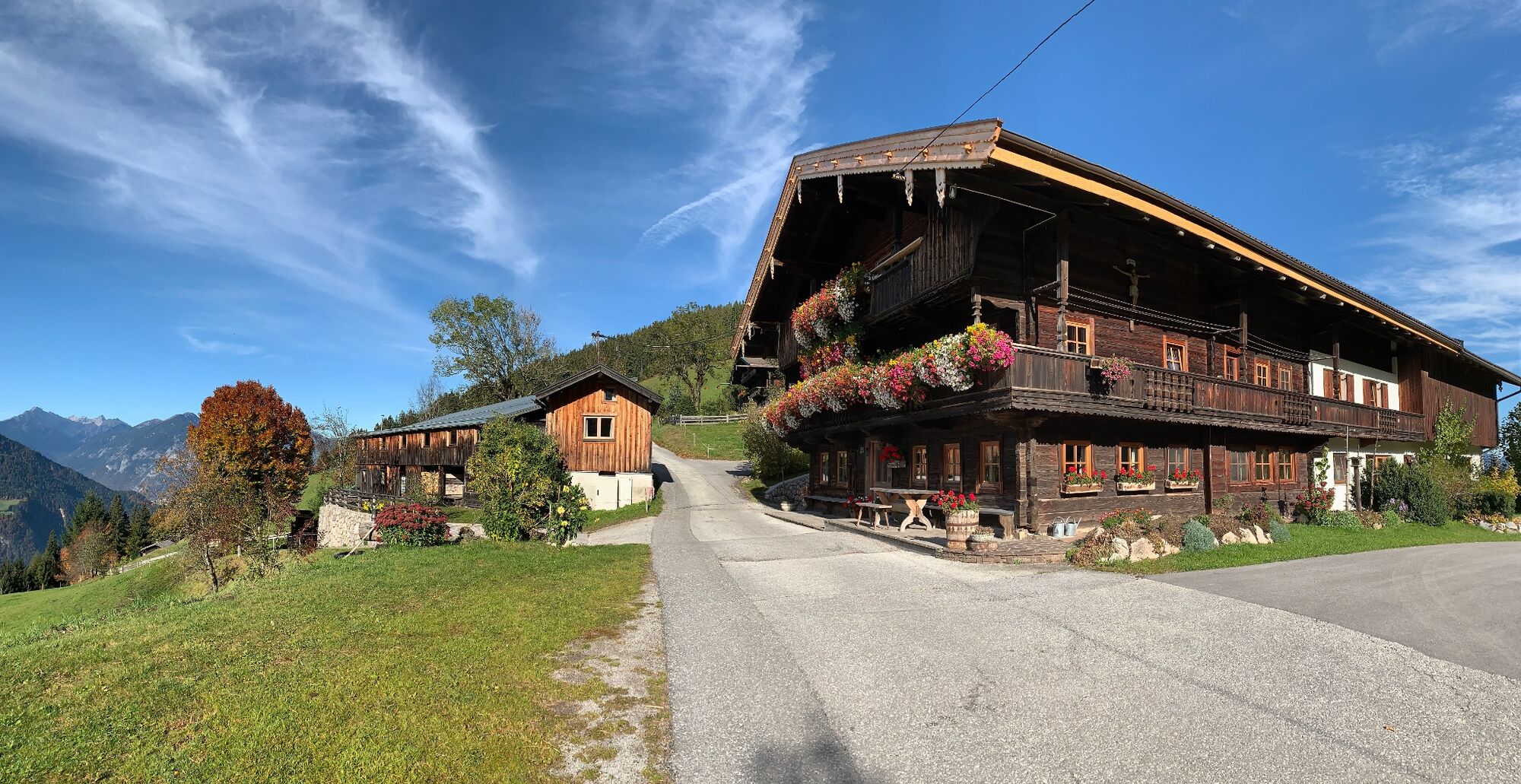
Enjoyable looped route around the Reither Kogel
- Difficulté
-
moyen
- Évaluation
-
- Parcours
-
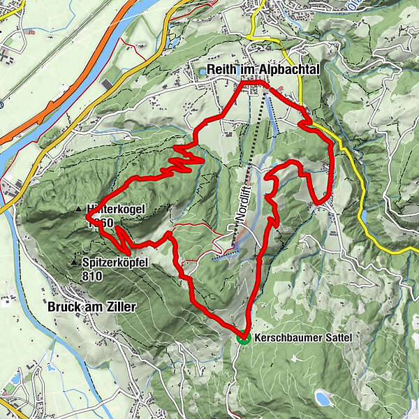
Reith im Alpbachtal (638 m)0,1 kmHub Kapelle1,2 kmAussichtspunkt Hinterkogel6,0 kmRosenkranz Kapelle9,3 kmGschwendt Almstüberl10,3 kmKapelle Maria vom Guten Rat12,1 kmHygna (817 m)12,1 kmReither Anger (659 m)13,9 kmReith im Alpbachtal (638 m)14,0 km
- Meilleure saison
-
janv.févr.marsavrilmaijuinjuil.aoûtsept.oct.nov.déc.
- Hauteur maximale
- 1.199 m
- Point de mire
-
Reitherkogelbahn, Reith car park
- Profil en hauteur
-


-

-
AuteurLa randonnée MTB-Route 318 Reither Kogel (Reith i. Alpbachtal) est utilisé par outdooractive.com fourni par.
GPS Downloads


Informations générales
Point de rassemblement
Prometteur
Autres parcours dans les régions
-
Alpbachtal
293
-
Reith im Alpbachtal
116