© Alpbach Tourismus

© Alpbachtal Tourismus - Manuel Hufnagel

- Brève description
-
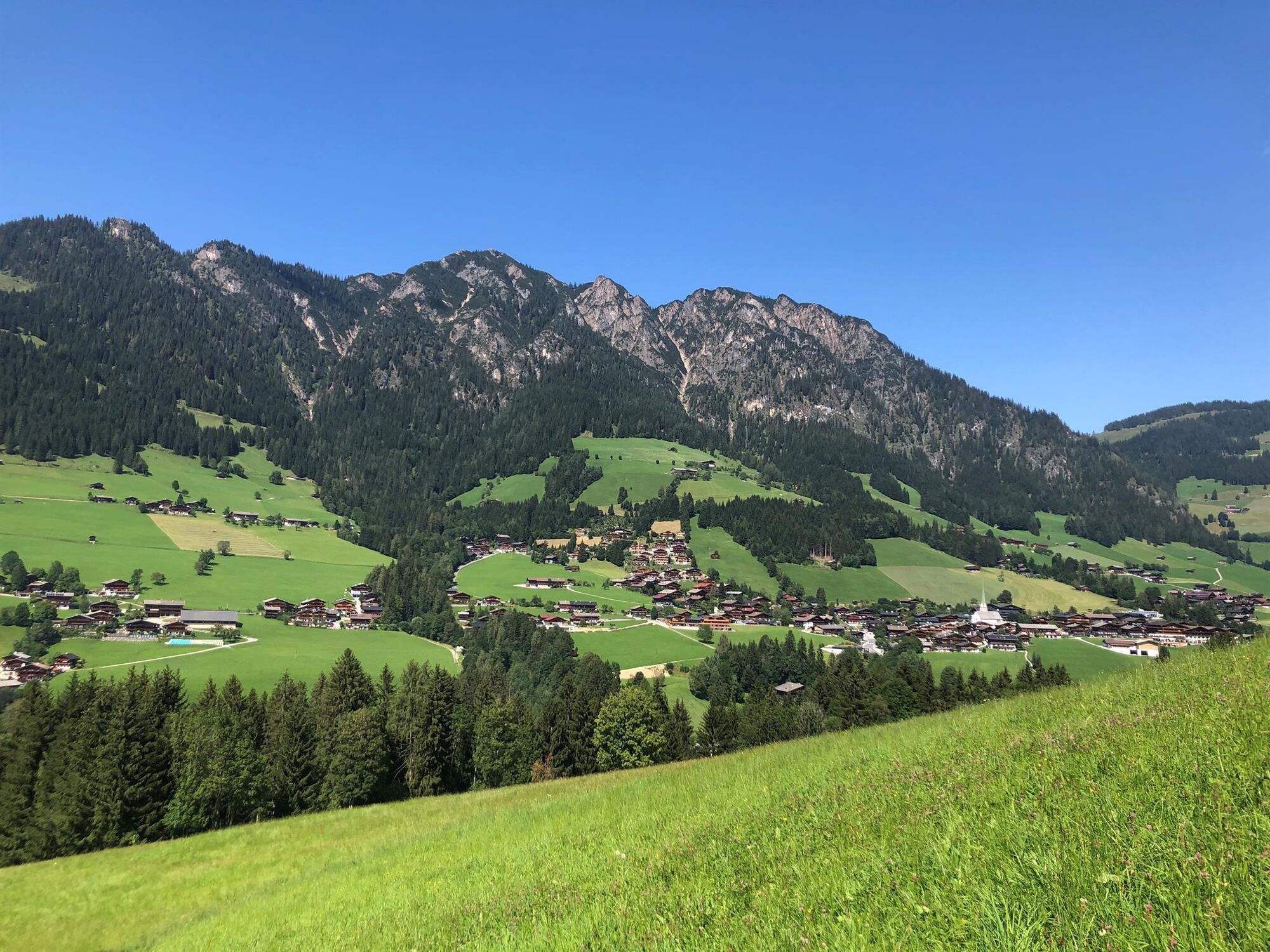
Easy round trip with little elevation gain through beautiful scenery.
- Difficulté
-
facile
- Évaluation
-
- Parcours
-
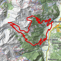
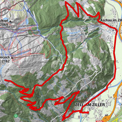
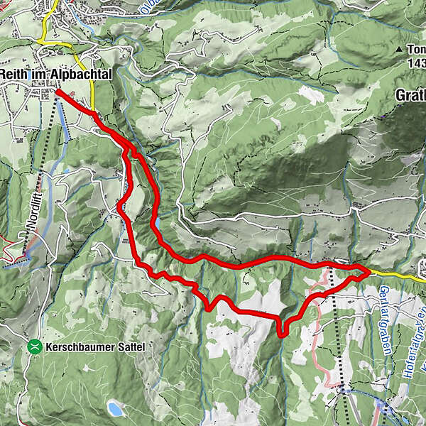
Reith im Alpbachtal (638 m)0,0 kmReither Anger (659 m)0,3 kmHygna (817 m)1,8 kmKapelle Maria vom Guten Rat1,9 kmEggen Kapelle3,5 kmReither Anger (659 m)11,7 kmReith im Alpbachtal (638 m)11,9 km
- Meilleure saison
-
janv.févr.marsavrilmaijuinjuil.aoûtsept.oct.nov.déc.
- Hauteur maximale
- 976 m
- Point de mire
-
Reitherkogelbahn, Reith car park
- Profil en hauteur
-

-

-
AuteurLa randonnée MTB-Route 316 Kolber Loop (Reith i. Alpbachtal) est utilisé par outdooractive.com fourni par.
GPS Downloads


Informations générales
Point de rassemblement
Prometteur
Autres parcours dans les régions
-
Alpbachtal
293
-
Reith im Alpbachtal
116