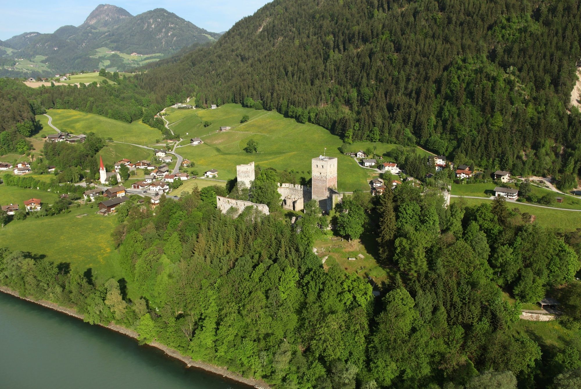
© Alpbachtal - Simon Oberleiter

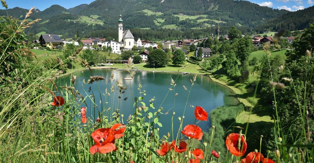
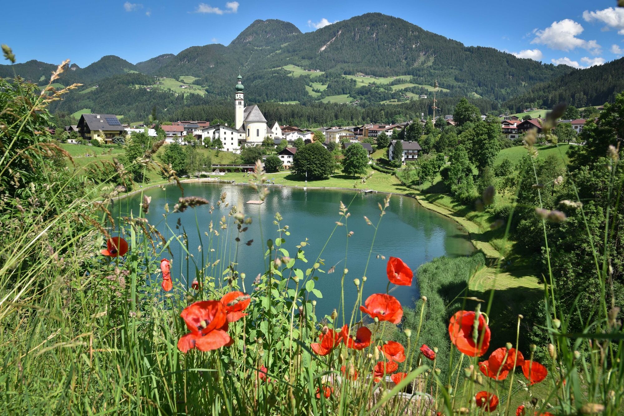
© Alpbachtal Tourismus - Gabriele Grießenböck


- Brève description
-
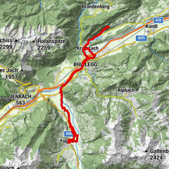
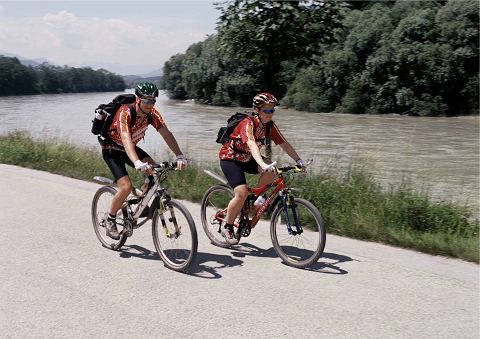
Short connection from the Inn Valley to Reith im Alpbachtal
- Difficulté
-
facile
- Évaluation
-
- Parcours
-
Sankt Gertraudi (527 m)0,7 kmHub Kapelle2,2 kmReith im Alpbachtal (638 m)3,2 km
- Meilleure saison
-
janv.févr.marsavrilmaijuinjuil.aoûtsept.oct.nov.déc.
- Hauteur maximale
- 686 m
- Point de mire
-
Reitherkogelbahn car park (start and finish)
- Profil en hauteur
-

-

-
AuteurLa randonnée MTB-Route 322 Inntalradweg – Reith i. Alpbachtal est utilisé par outdooractive.com fourni par.
GPS Downloads


Autres parcours dans les régions
-
Alpbachtal
301
-
Reith im Alpbachtal
124