Dates des itinéraires
6,28km
631
- 1.101m
474hm
02:30h
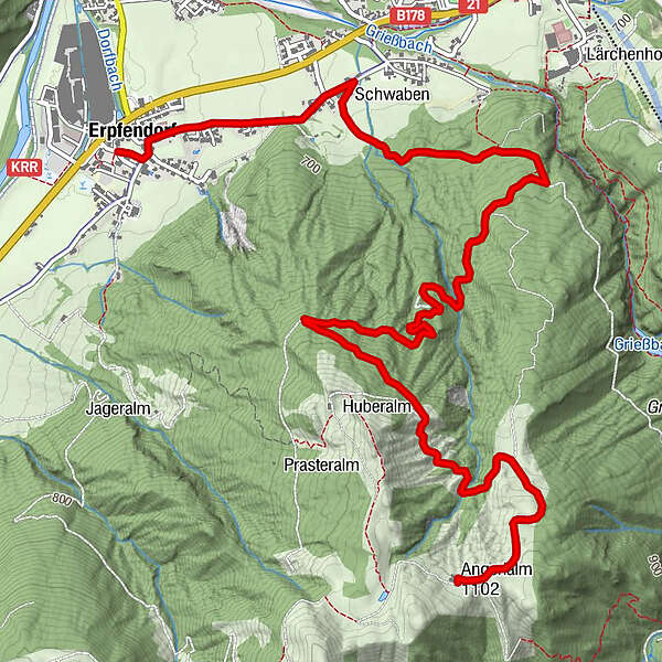
- Brève description
-
Etwas anspruchsvoll - aber schön unter schattigem Laub hinaufbiken
- Difficulté
-
moyen
- Évaluation
-
- Point de départ
-
Erpfendorf Zentrum
- Parcours
-
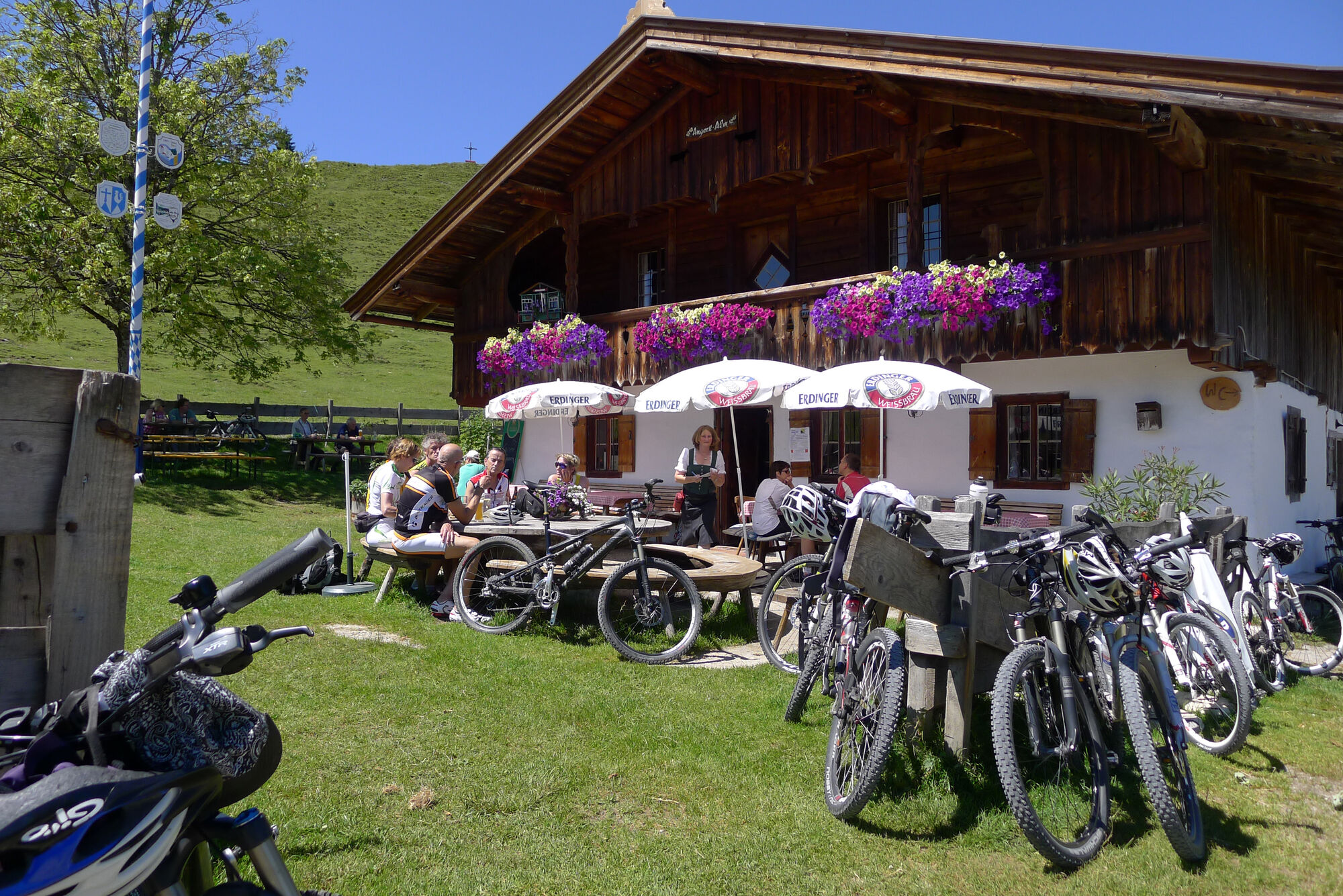
Erpfendorf0,0 kmFilialkirche Erpfendorf0,1 kmHubertuskapelle2,0 kmAngerlalm6,2 km
- Meilleure saison
-
janv.févr.marsavrilmaijuinjuil.aoûtsept.oct.nov.déc.
- Hauteur maximale
- 1.101 m
- Repos/Rassembler
-
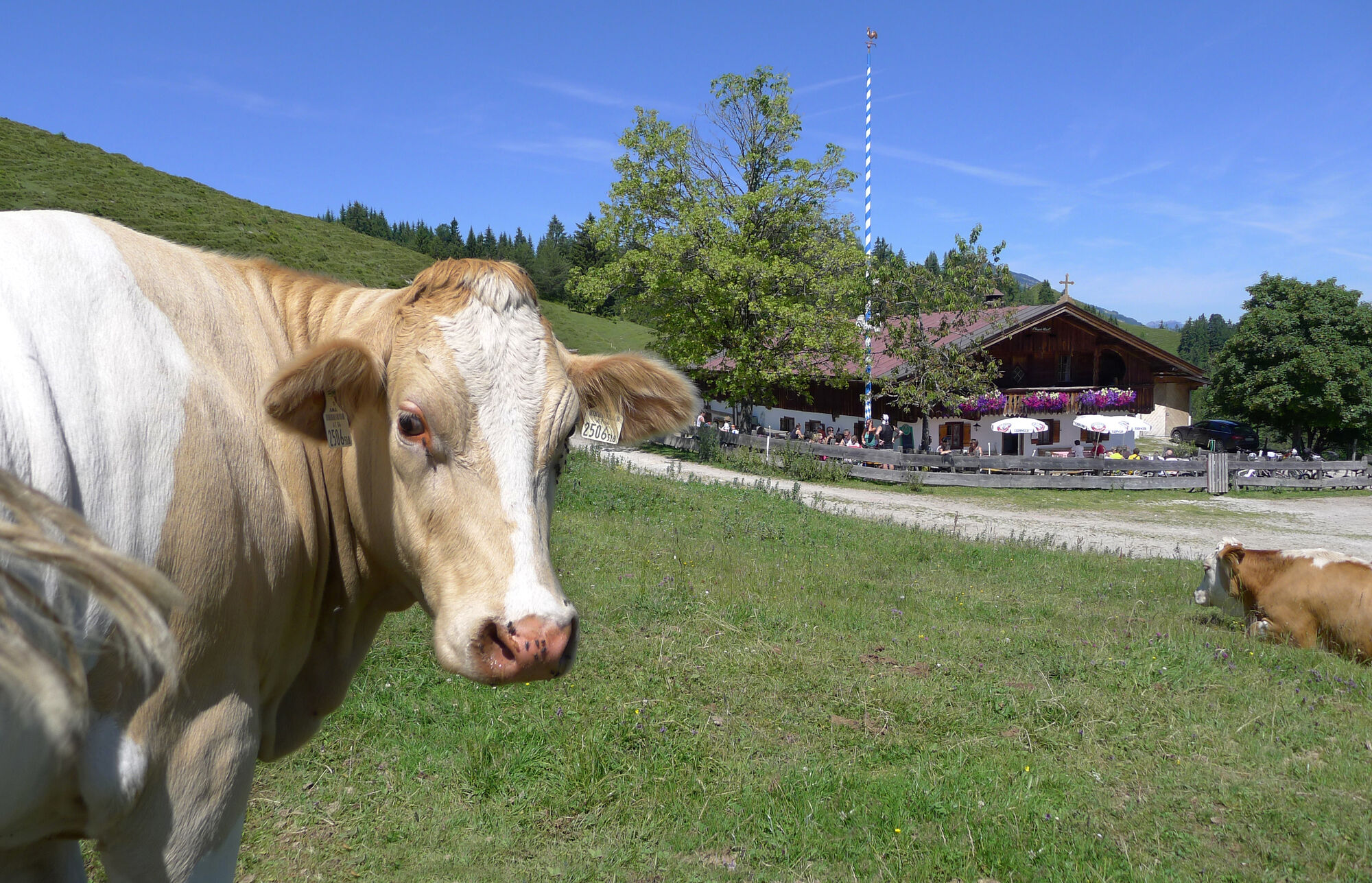
Angerlalm, bzw. bei Variante Huberalm
- Cartes
-
In allen Infobüros der Kitzbüheler Alpen St. Johann in Tirol - Oberndorf - Kirchdorf
- Informations par téléphone
-
Tourismusverband Kitzbüheler Alpen St. Johann in Tirol +43 (0)5352 63335-0
- Link
- https://www.kitzbueheler-alpen.com/de/st-johann
- Source
- Tourismusverband Kitzbüheler Alpen St. Johann in Tirol
GPS Downloads


Circuits
Asphalte
Gravier
Forêt
Sentiers de montagne
Sentiers singletrail
Trial
Circulation
Autres parcours dans les régions