© Jörg
© Jörg
© Jörg
© Jörg
© Jörg
© Jörg
© Jörg
© Jörg
© Jörg
© Jörg
Dates des itinéraires
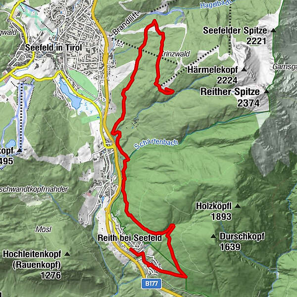
18km
1.120
- 1.502m
746hm
746hm
01:30h
- Brève description
-
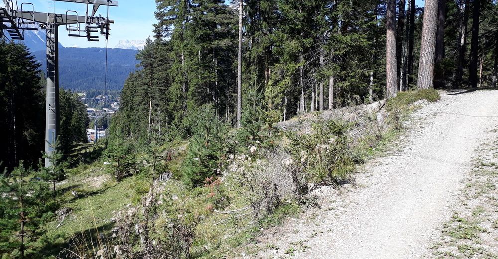
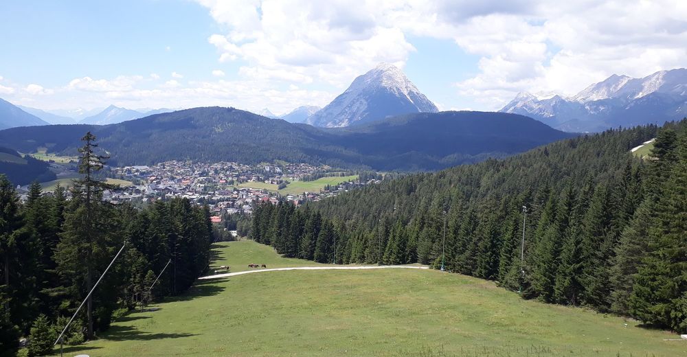
Leichte, sonnige Tour.
- Difficulté
-
moyen
- Évaluation
-
- Point de départ
-
Zentrum Reith Bahnhof
- Parcours
-
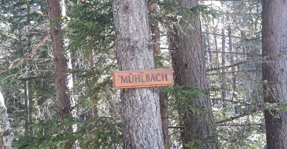
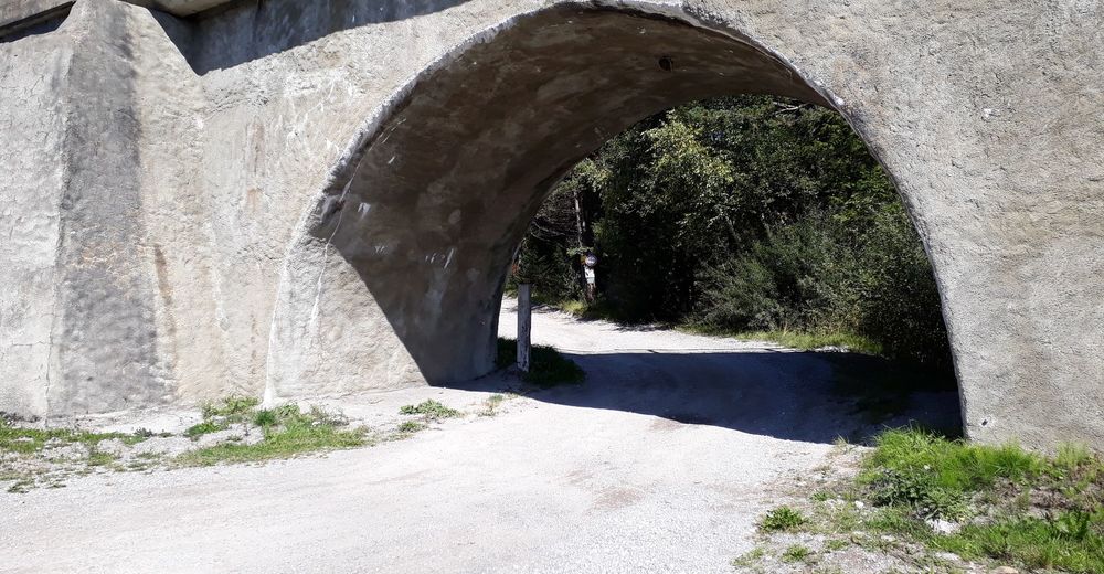
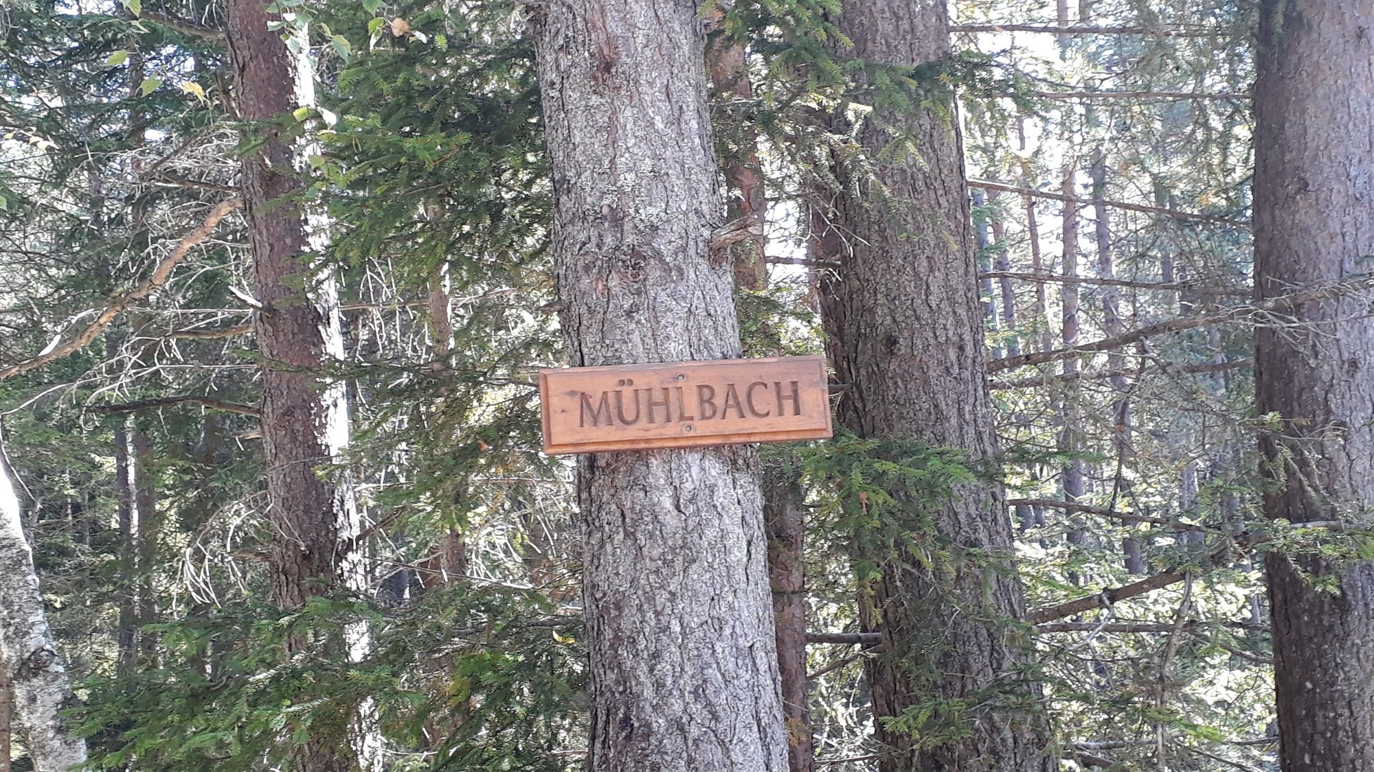
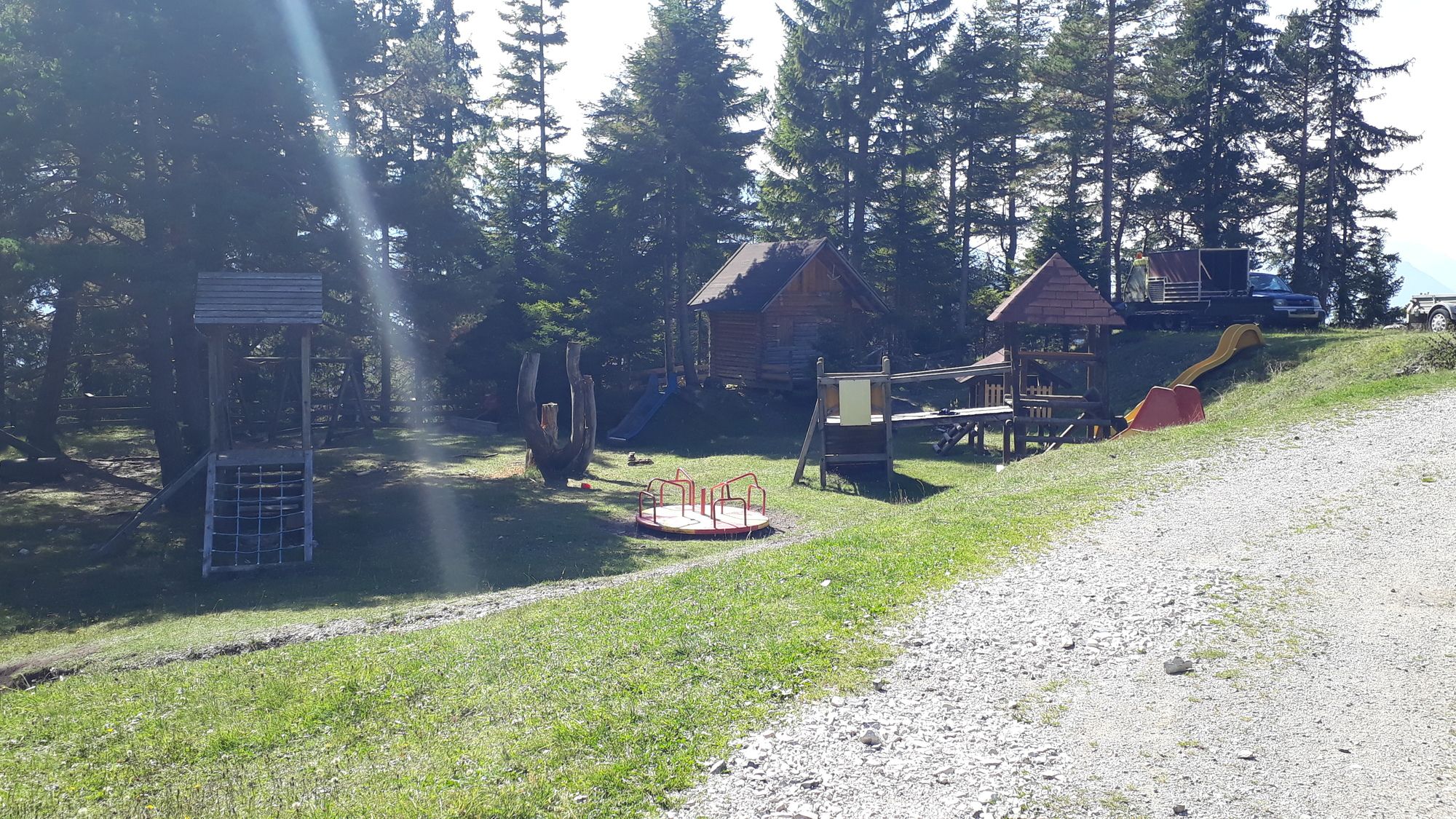
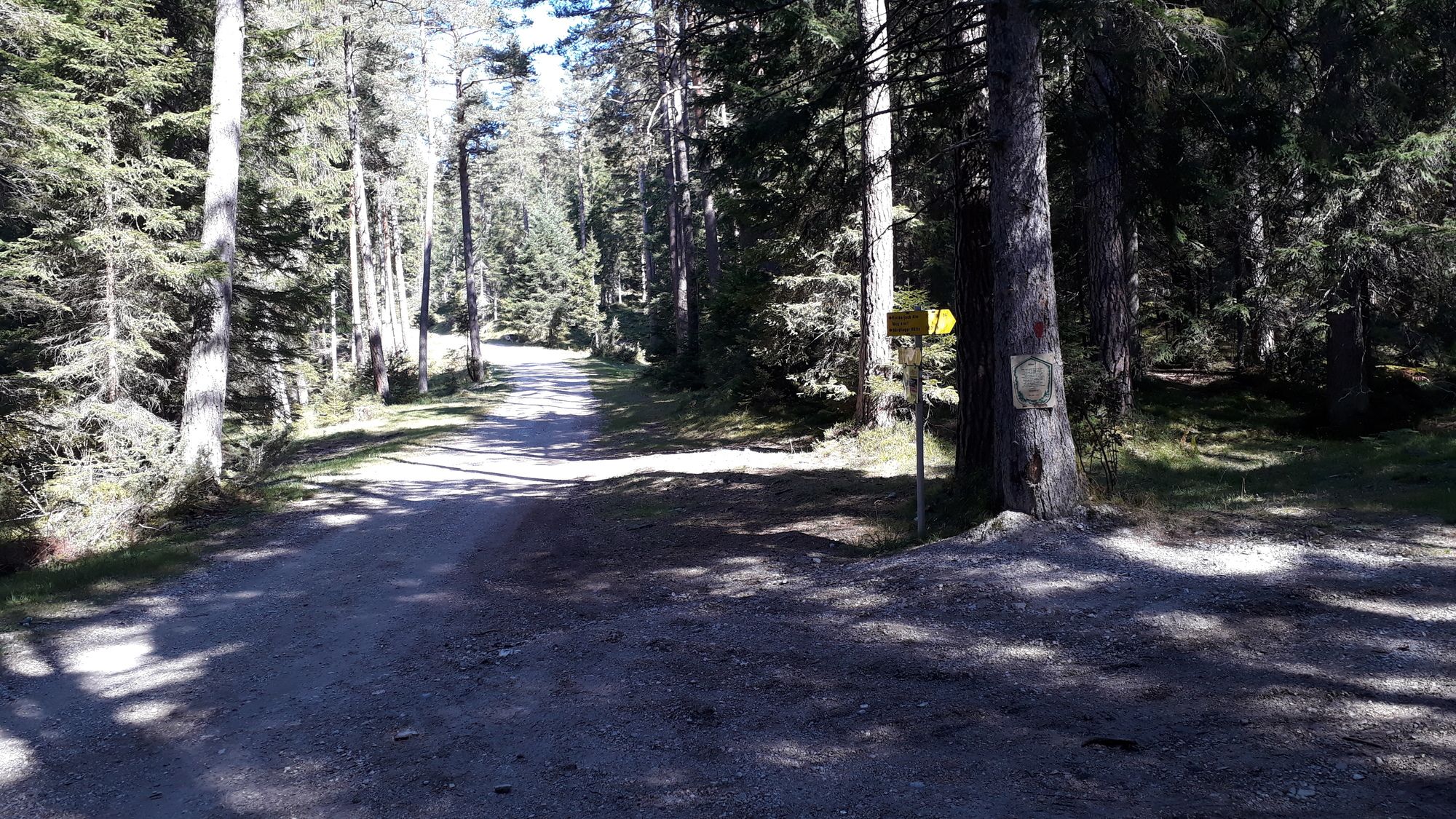
Reith bei Seefeld (1.130 m)Pfarrkirche Hl. Nikolaus0,0 kmHotel Reitherhof0,1 kmHölltal2,2 kmLus-Mähder2,8 kmReitherjoch Alm8,9 km
- Meilleure saison
-
janv.févr.marsavrilmaijuinjuil.aoûtsept.oct.nov.déc.
- Hauteur maximale
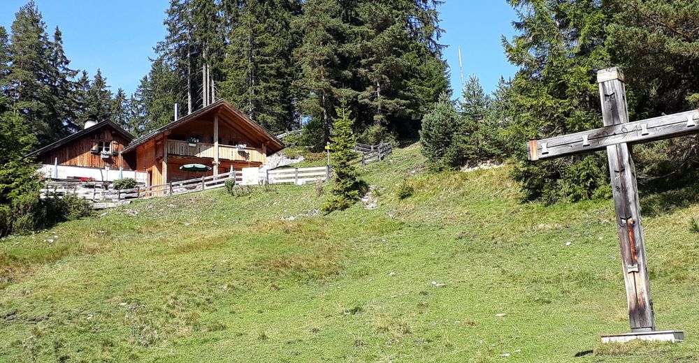
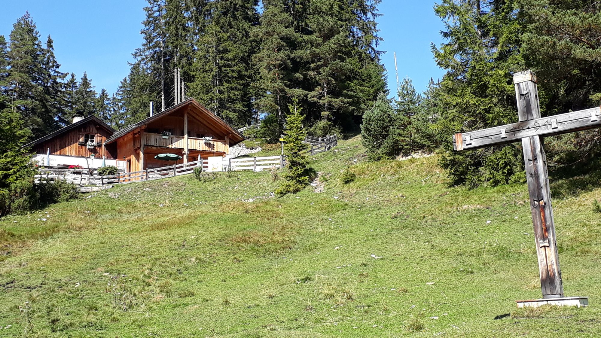
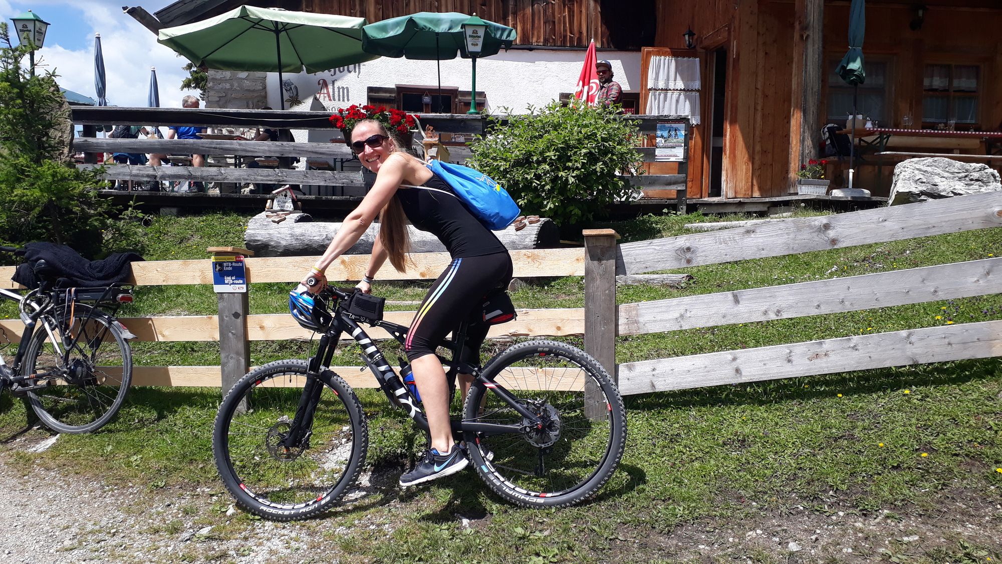
- Reitherjoch Alm (1.502 m)
- Point de mire
-
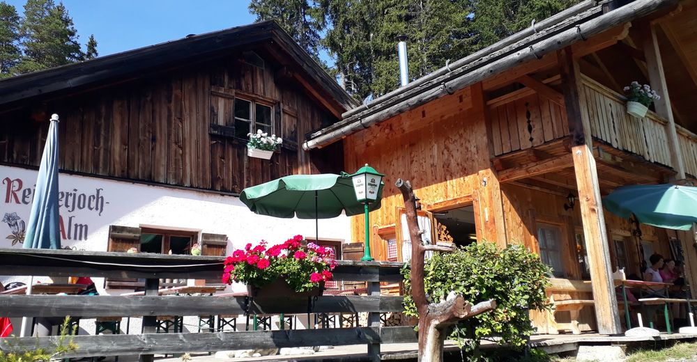
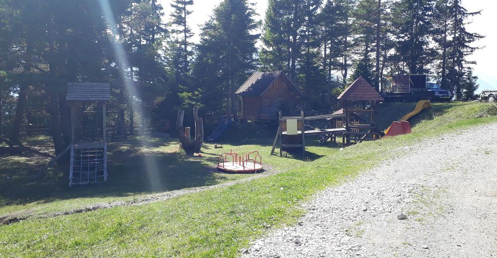
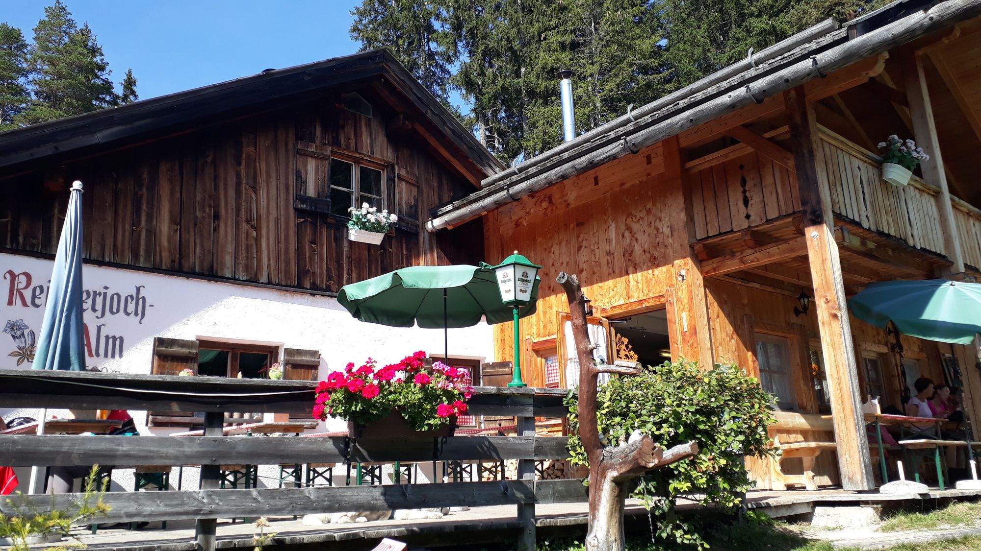
Reitherjoch Alm
Tel: +43 5212 2621 180 - Repos/Rassembler
-
Reitherjoch Alm
Tel: +43 5212 2621 180
reitherjochalm.com
Montag Ruhetag - Cartes
-
freytag&berndt WK322


- Source
- joerg
GPS Downloads


Circuits
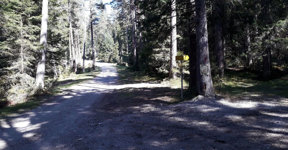
Asphalte
(5%)
Gravier
(95%)
Forêt
Sentiers de montagne
Sentiers singletrail
Trial
Circulation
Autres parcours dans les régions