Dates des itinéraires
15,51km
771
- 1.435m
715hm
715hm
00:51h
- Brève description
-
Ein Muss für jeden Uphill-Freak!
- Difficulté
-
moyen
- Évaluation
-
- Point de départ
-
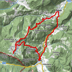
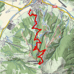
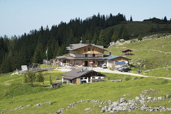
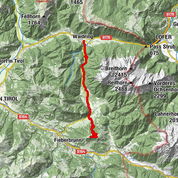
Dorfzentrum Waidring
- Parcours
-
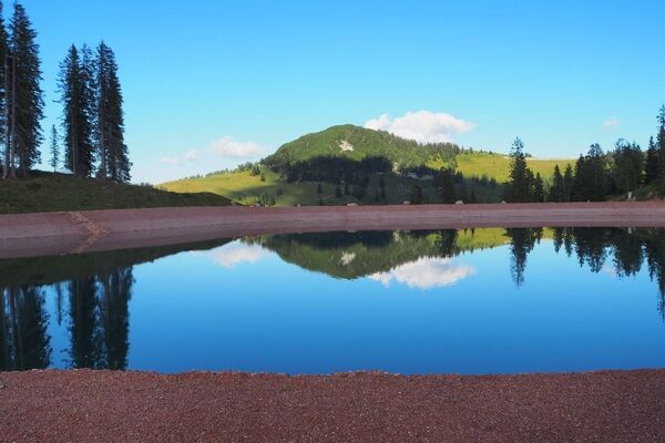
Waidring0,1 kmSt. Ulrich am Pillersee7,0 kmNeuwieben7,0 kmSchartental8,5 kmStrasserwirt9,0 kmFlecken10,2 kmKammbergalm14,1 kmam Speichersee Buchensteinwand14,8 kmBuchensteinwand (1.462 m)15,1 kmAlpengasthof Buchensteinwand15,4 km
- Meilleure saison
-
janv.févr.marsavrilmaijuinjuil.aoûtsept.oct.nov.déc.
- Hauteur maximale
- 1.435 m
- Repos/Rassembler
-
Alpengasthof Buchensteinwand (Montag Ruhetag).
- Cartes
-
Tourismusverband PillerseeTal
- Informations par téléphone
-
+43 (0)5354 / 56304
- Link
- http://www.pillerseetal.at
GPS Downloads


Circuits
Asphalte
Gravier
Forêt
Sentiers de montagne
Sentiers singletrail
Trial
Circulation
Autres parcours dans les régions
-
Pillerseetal
422
-
St. Ulrich am Pillersee
118