Dates des itinéraires
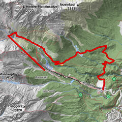
13,1km
1.450
- 1.995m
553hm
01:30h

- Brève description
-
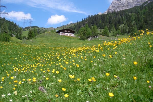
Schöne Strecke mit Hütte als Ziel
- Évaluation
-
- Point de départ
-
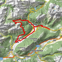
Talstation Hochzeigerbahn (1450 m)
- Parcours
-
Tanzalm6,3 km
- Hauteur maximale
- 1.995 m
- Repos/Rassembler
-
Jerzner Alm
- Cartes


GPS Downloads


Circuits
Asphalte
Gravier
Sentiers de montagne
Sentiers singletrail
Trial
Circulation
Autres parcours dans les régions