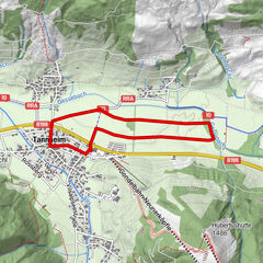
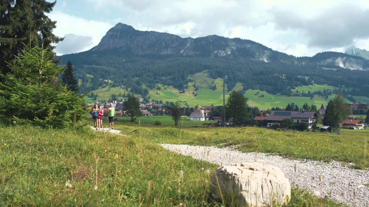
© Tannheimer Tal - Tourismusverband Tannheimer Tal

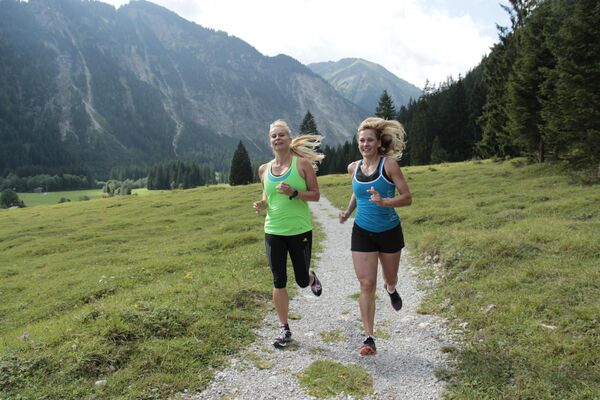
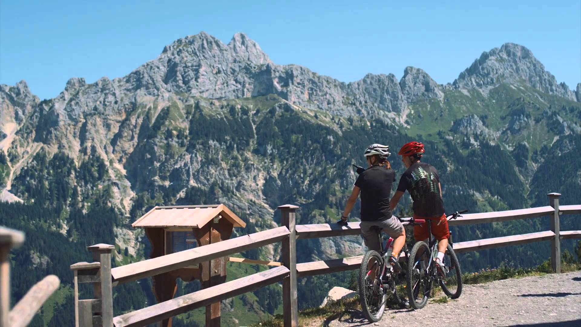
© Outdooractive Premium - Hartmut Wimmer

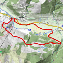
© Outdooractive Premium - Hartmut Wimmer

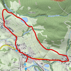
© Outdooractive Premium - Hartmut Wimmer

© Outdooractive Premium - Hartmut Wimmer

© Outdooractive Premium - Hartmut Wimmer

© Outdooractive Premium - Hartmut Wimmer

© Outdooractive Premium - Hartmut Wimmer

© Outdooractive Premium - Hartmut Wimmer

© Outdooractive Premium - Hartmut Wimmer
- Brève description
-
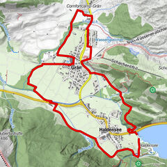
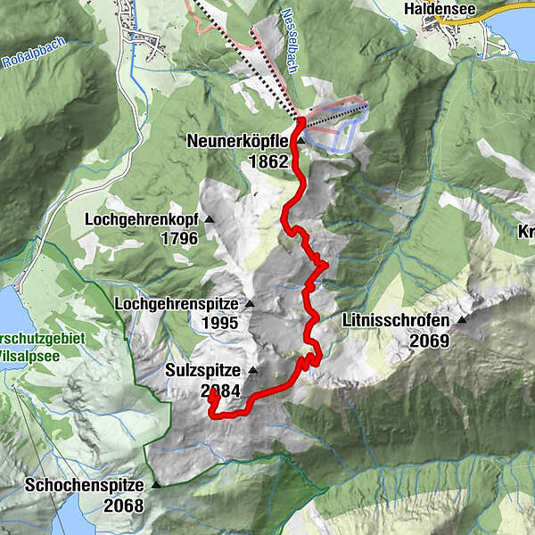
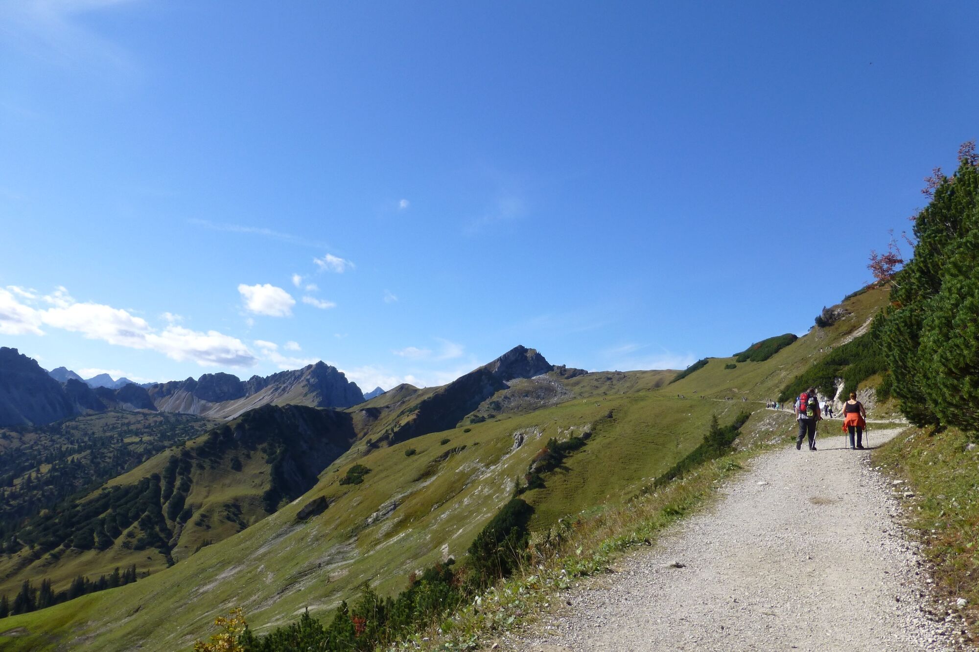
The entire course of the Toruve offers again and again impressive views (e.g. Tannheimer Tal, Zugspitze, Lechtaler Alpen, ...)
- Difficulté
-
difficile
- Évaluation
-
- Parcours
-
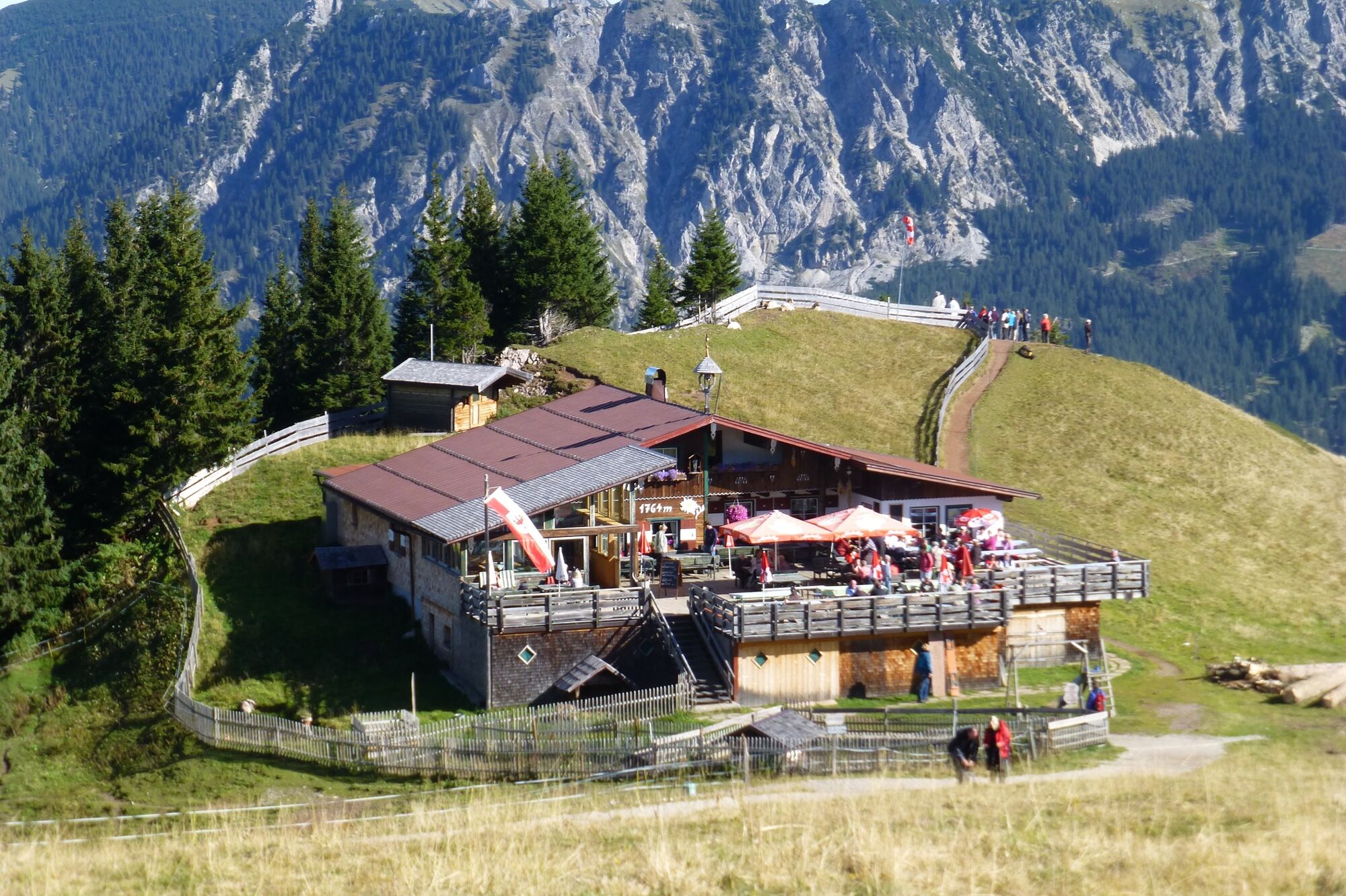
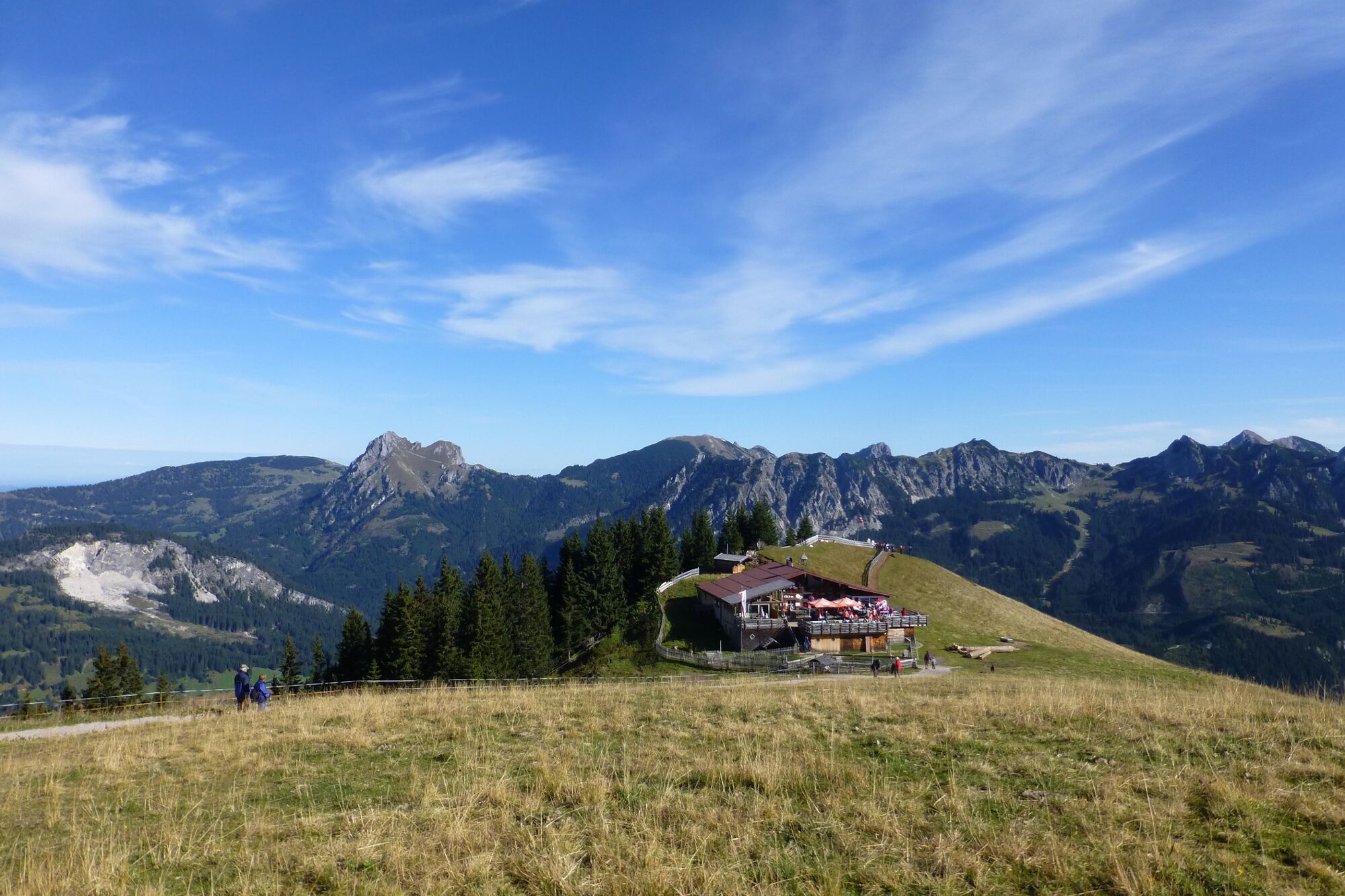
Strindenalpe1,9 kmGappenfeldalpe5,2 kmStrindenalpe8,6 km
- Meilleure saison
-
janv.févr.marsavrilmaijuinjuil.aoûtsept.oct.nov.déc.
- Hauteur maximale
- 1.890 m
- Point de mire
-
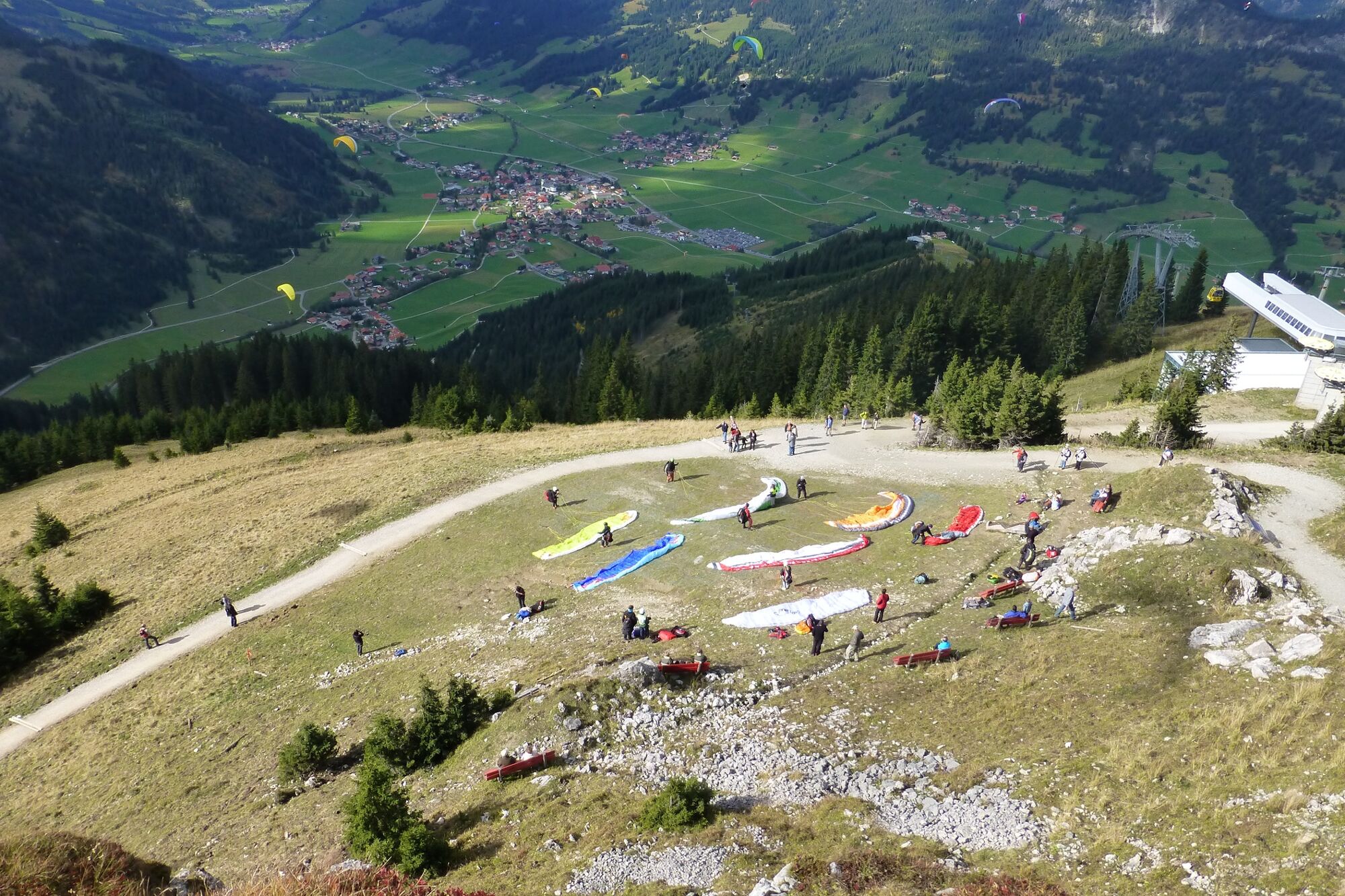
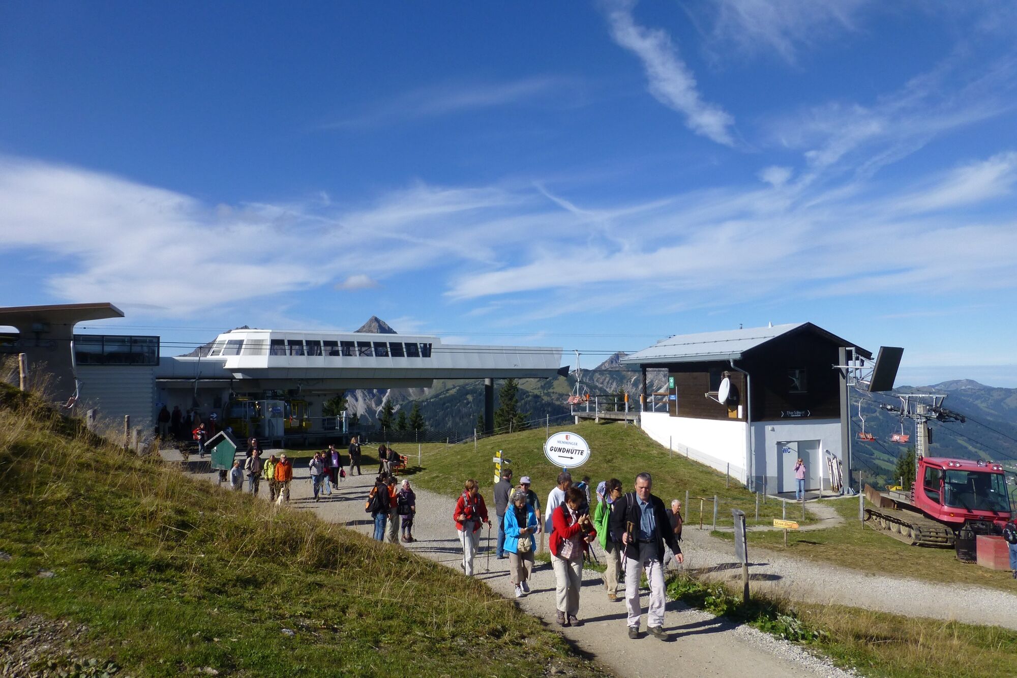
Top station Neunerköpfle in Tannheim
- Profil en hauteur
-


- Auteur
-
La randonnée altitude route est utilisé par outdooractive.com fourni par.
GPS Downloads


Informations générales
Point de rassemblement
Flore
Faune
Prometteur
Autres parcours dans les régions