© Archiv TVV, S.Theilig

© Archiv Tourismusverband Vogtland, T. Peisker

© Stadt Plauen

© Archiv Tourismusverband Vogtland e.V., T. Peisker

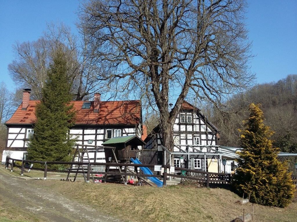
© Archiv Pfaffengut Plauen

© Archiv Stadt Plauen, A. Seidel

© Archiv Tourismusverband Vogtland, T.Peisker

© Archiv TVV, T. Peisker

© Archiv TVV, S. Theilig

© Archiv TVV, S. Theilig

- Brève description
-
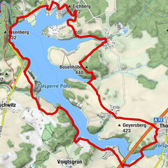
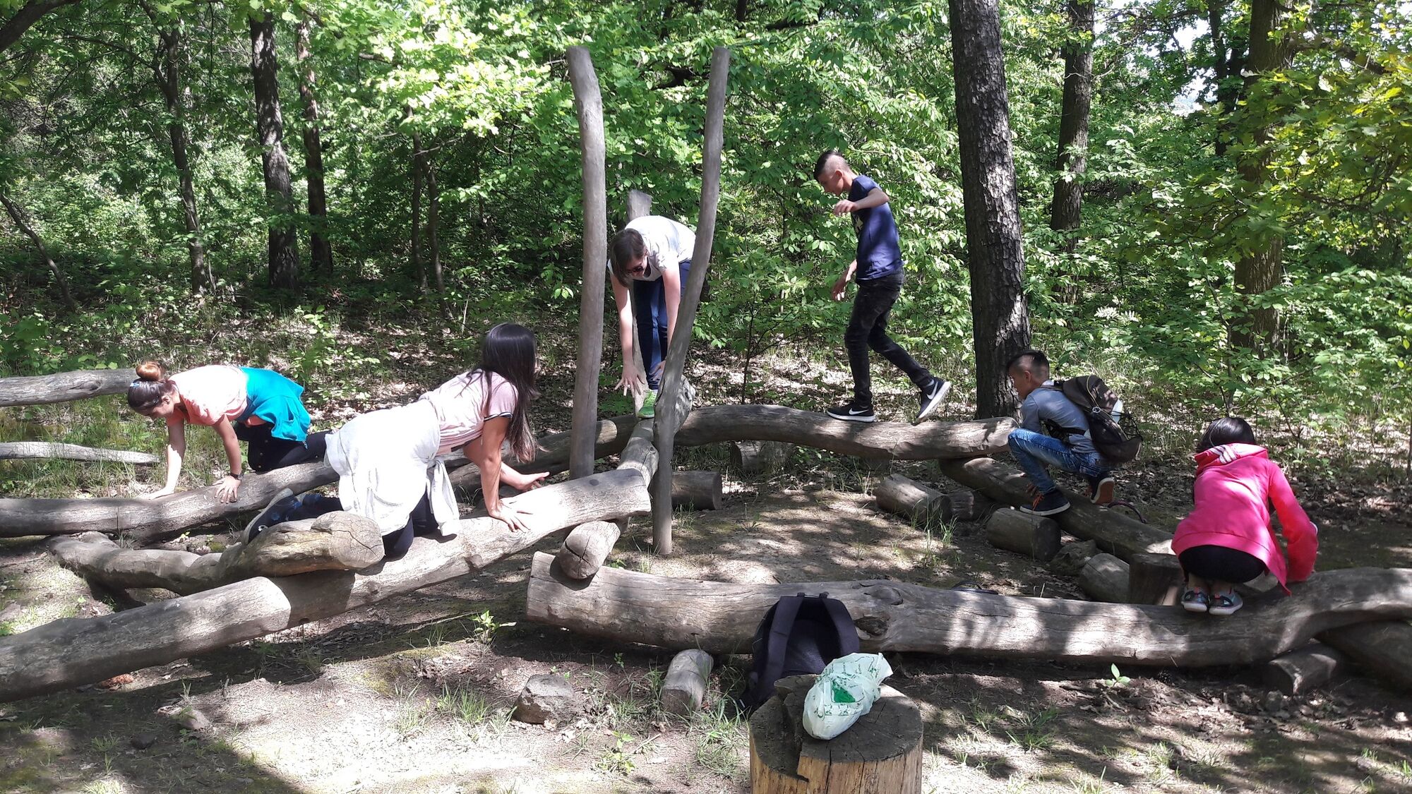
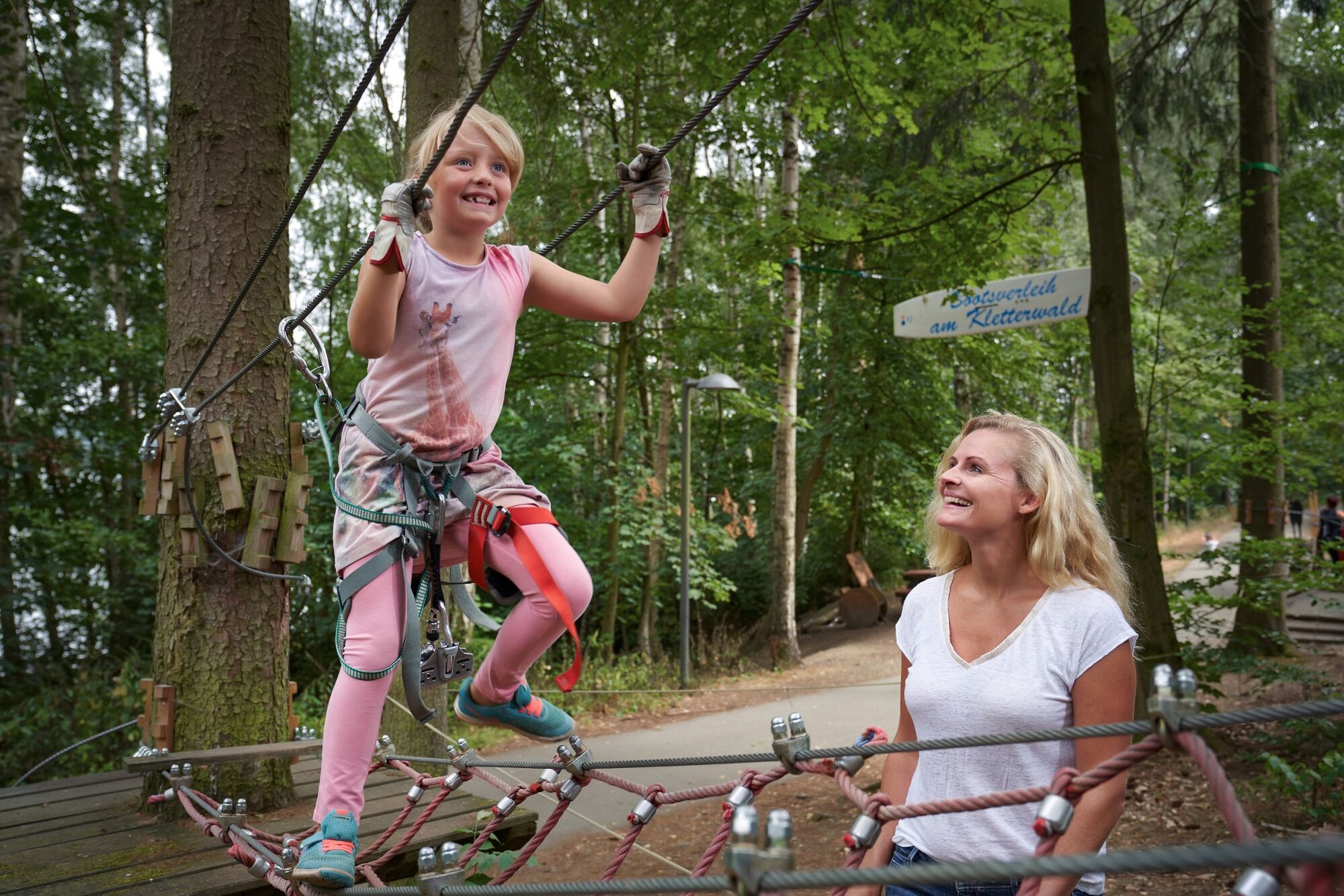
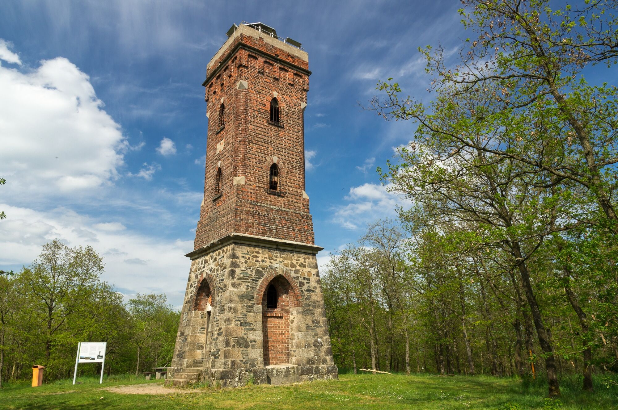
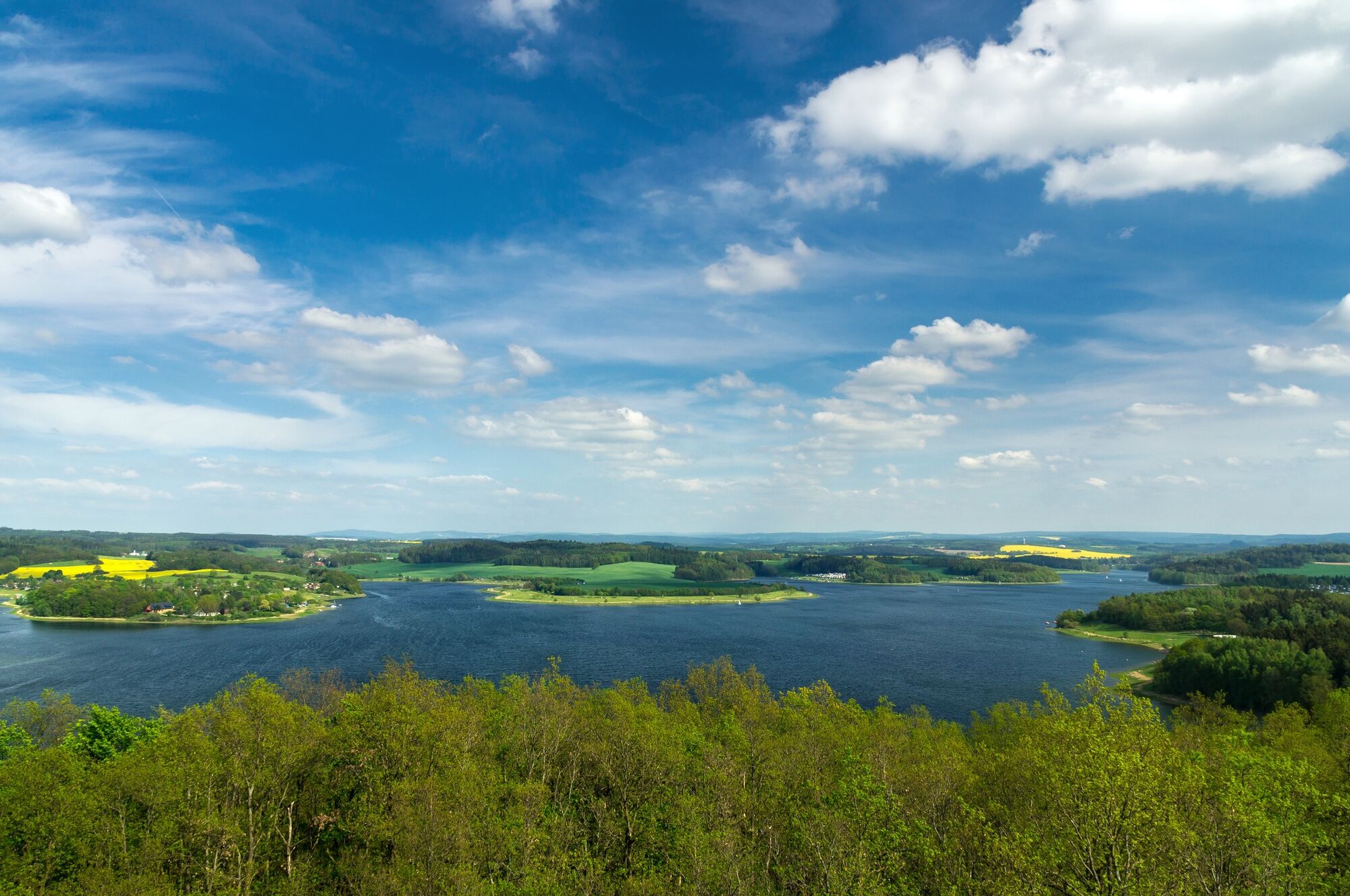
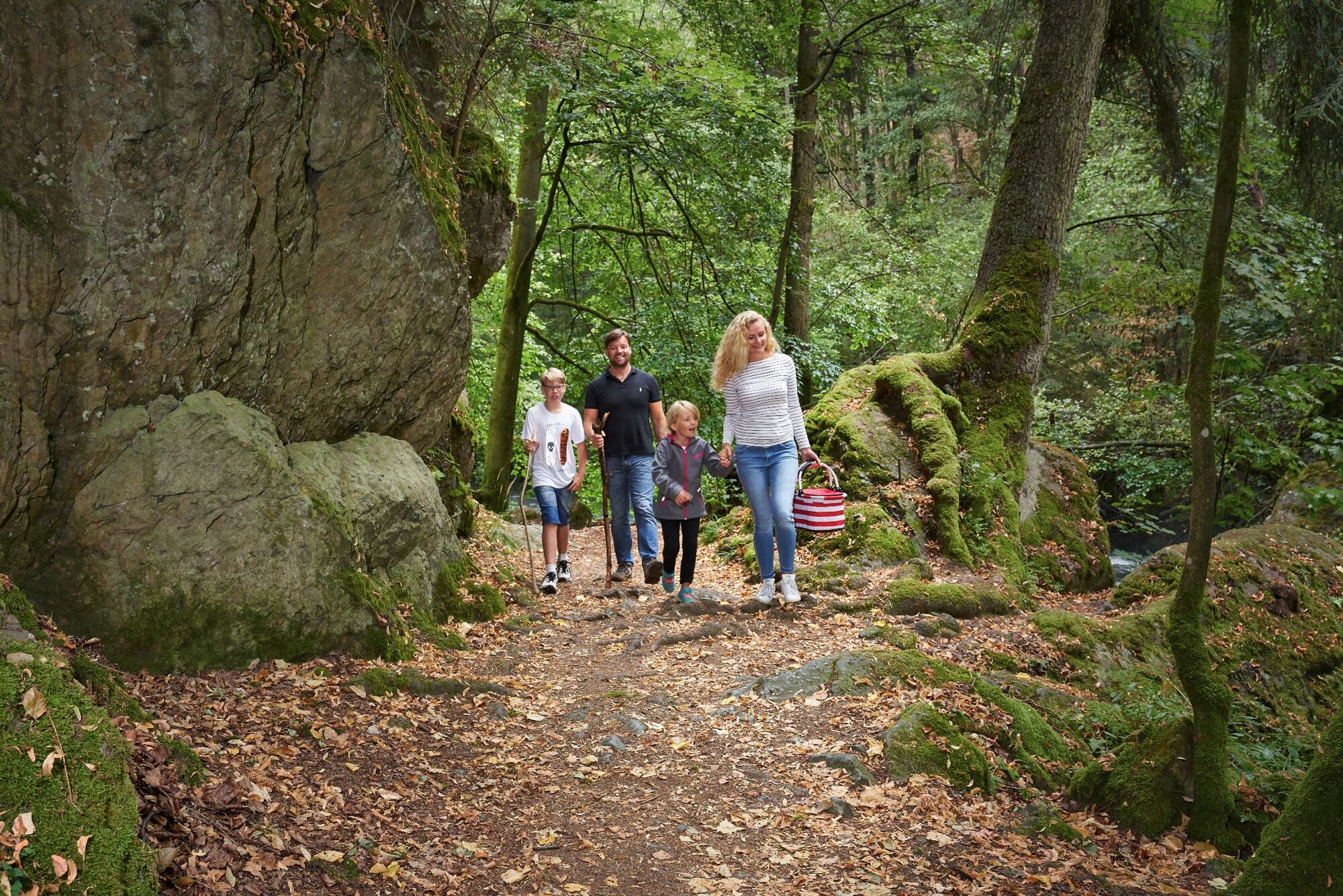
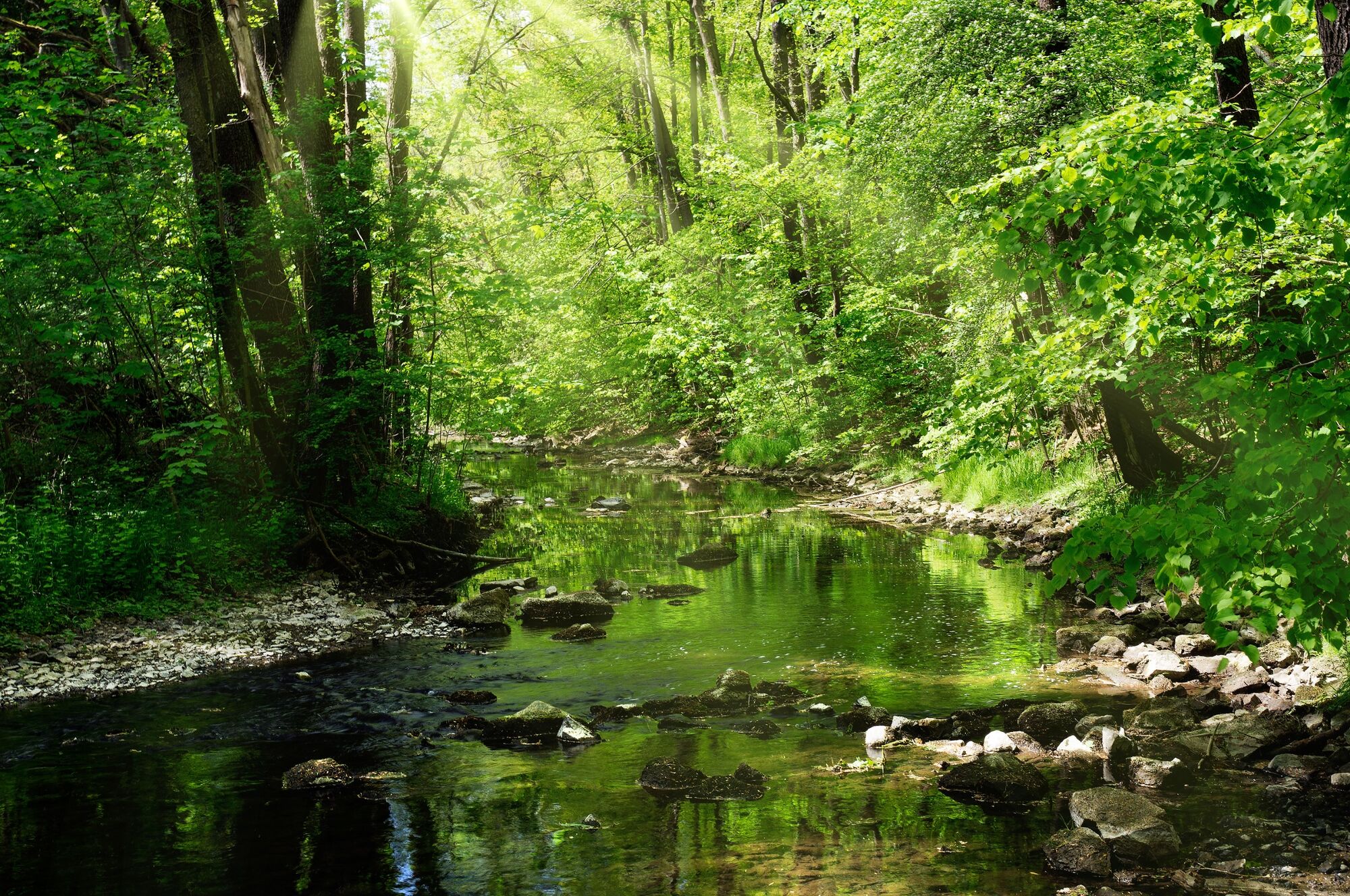
The countryside around Jößnitz delights with its charming unspoilt nature and interesting attractions, which become an experience on route J9.
- Difficulté
-
moyen
- Évaluation
-
- Parcours
-
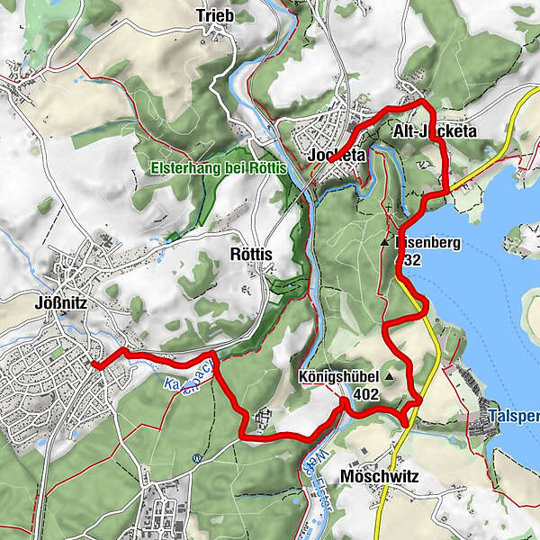
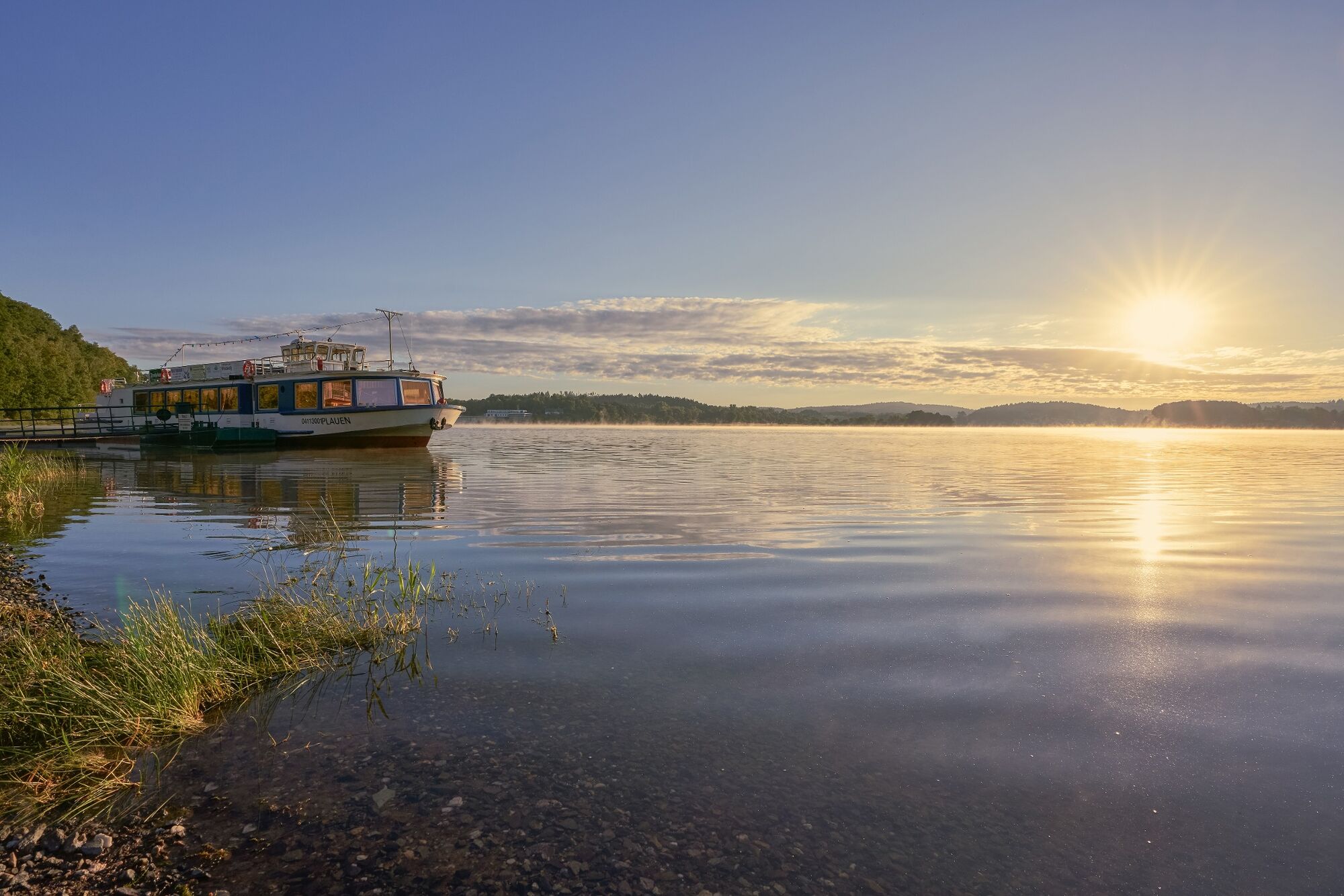
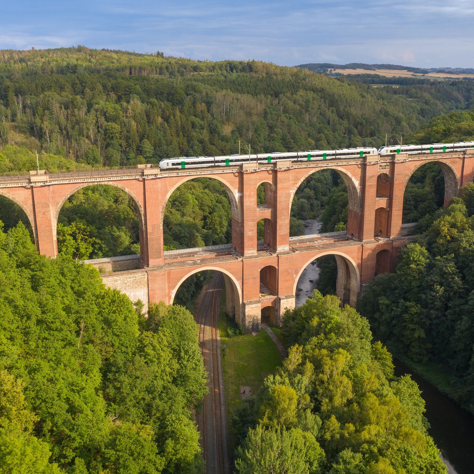
Pfaffenmühle1,3 kmPlauen2,1 kmLochbauer3,3 kmAnlegestelle Fahrgastschifffahrt5,7 kmAlt-Jocketa7,4 kmJocketa8,7 km
- Meilleure saison
-
janv.févr.marsavrilmaijuinjuil.aoûtsept.oct.nov.déc.
- Hauteur maximale
- 398 m
- Point de mire
-
Jocketa railway stop
- Profil en hauteur
-
 © outdooractive.com

- Auteur
-
La randonnée J9 - Hike via the Pfaffengut to the Pöhl Dam est utilisé par outdooractive.com fourni par.
GPS Downloads


Informations générales
Flore
Prometteur
Autres parcours dans les régions
-
Vogtland / Thüringen
666
-
Pöhl
92