© Archiv TVV, S. Theilig

© Archiv Tourismuszentrum Zeulenrodaer Meer, Marcus Daßler

© Archiv TVV/M.Daßler

© Archiv TVV / Marcus Dassler

© Archiv TVV

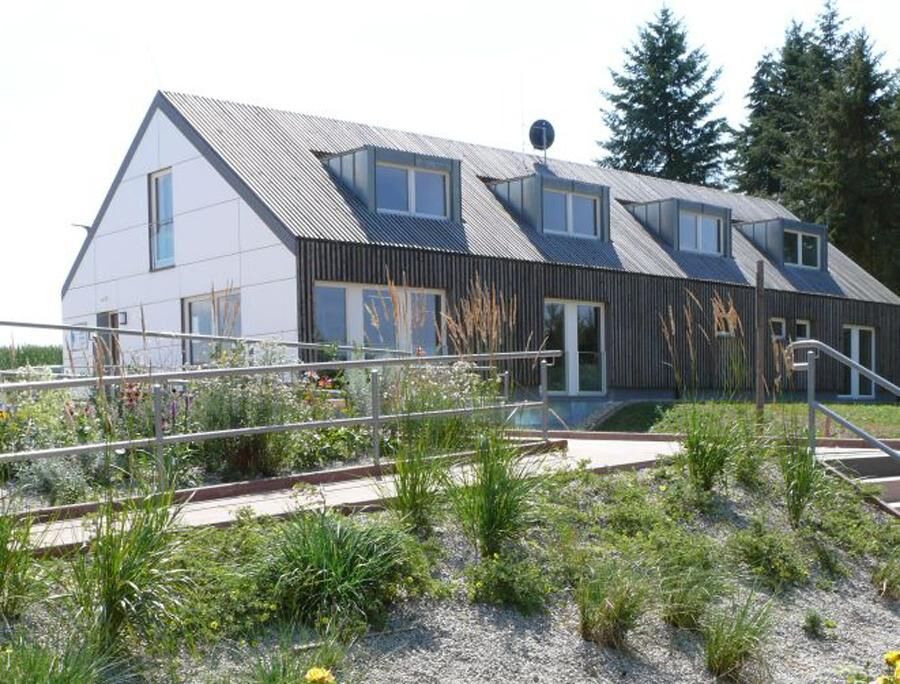
© Archiv Bio-Seehotel Zeulenroda

© Archiv Bio-Seehotel Zeulenroda

© Archiv Tourismuszentrum Zeulenrodaer Meer, Marcus Daßler

© Archiv TVV/M.Daßler

© Archiv Tourismusverband Vogtland, S. Theilig

- Brève description
-
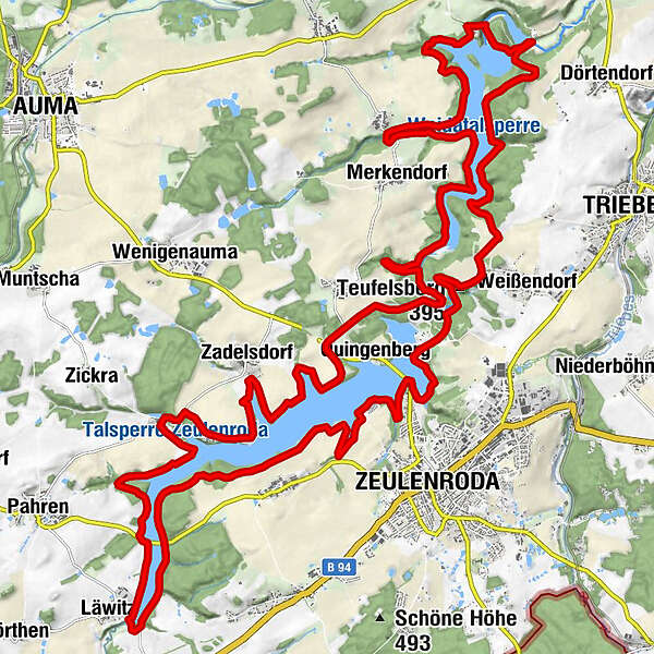
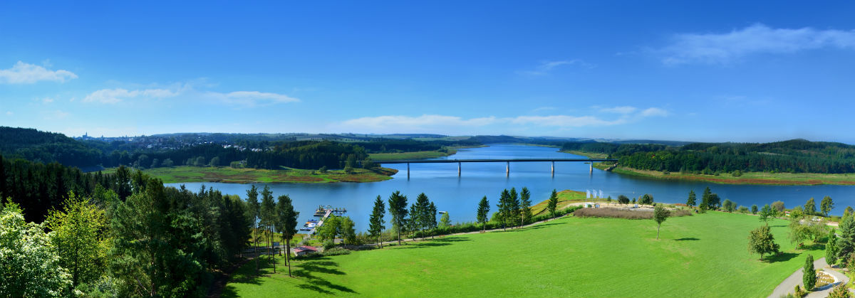
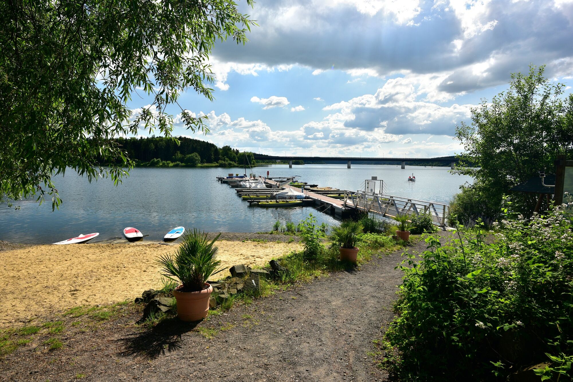
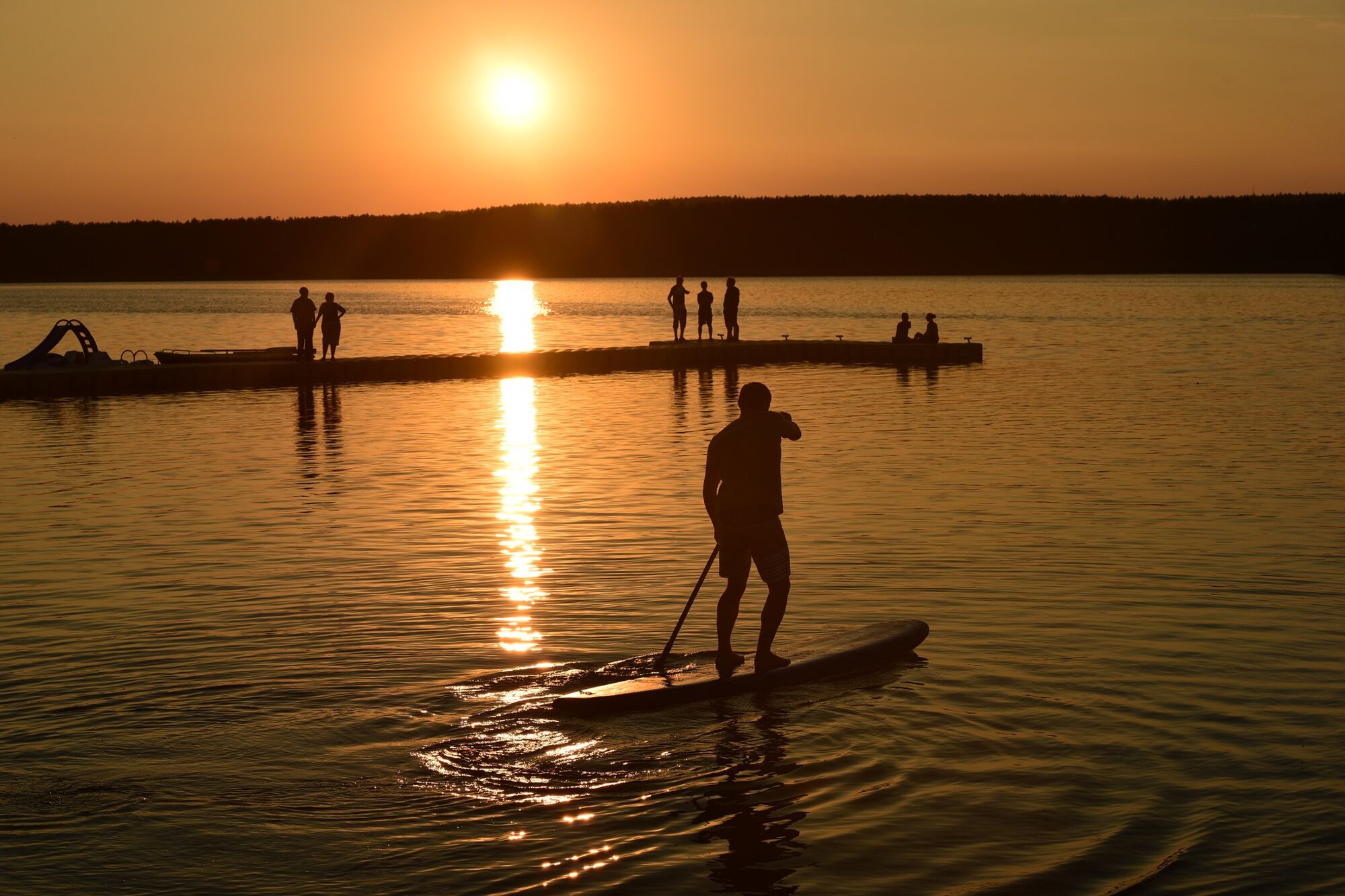
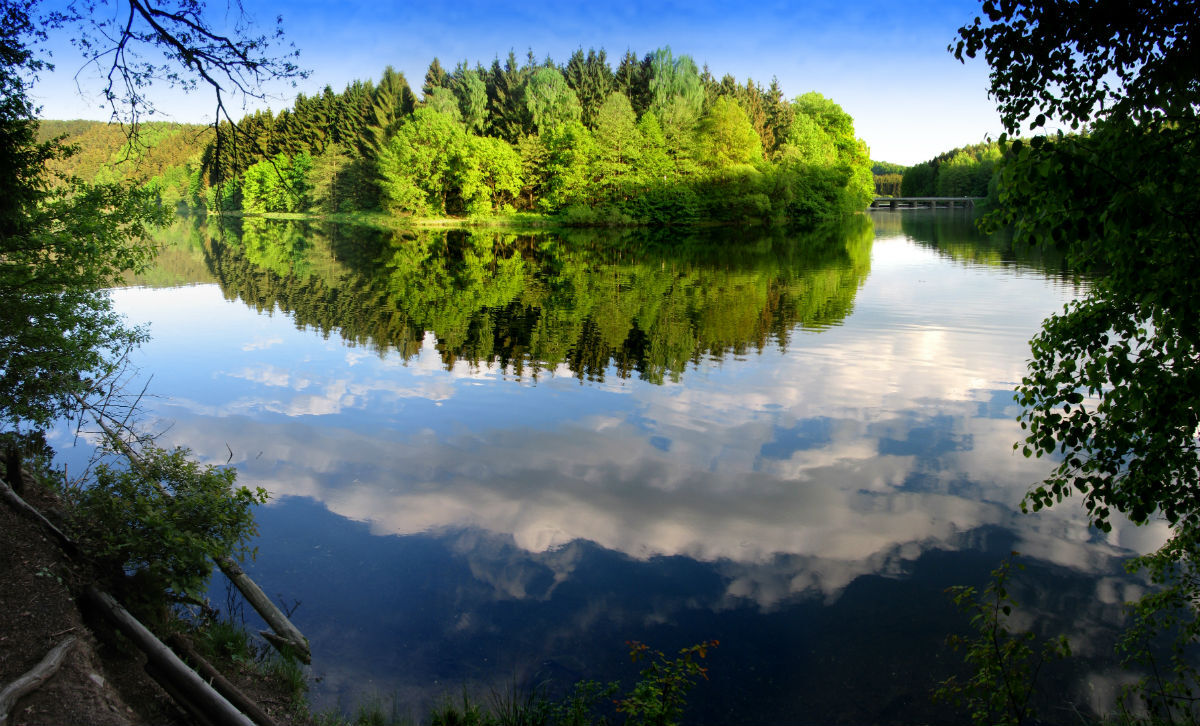
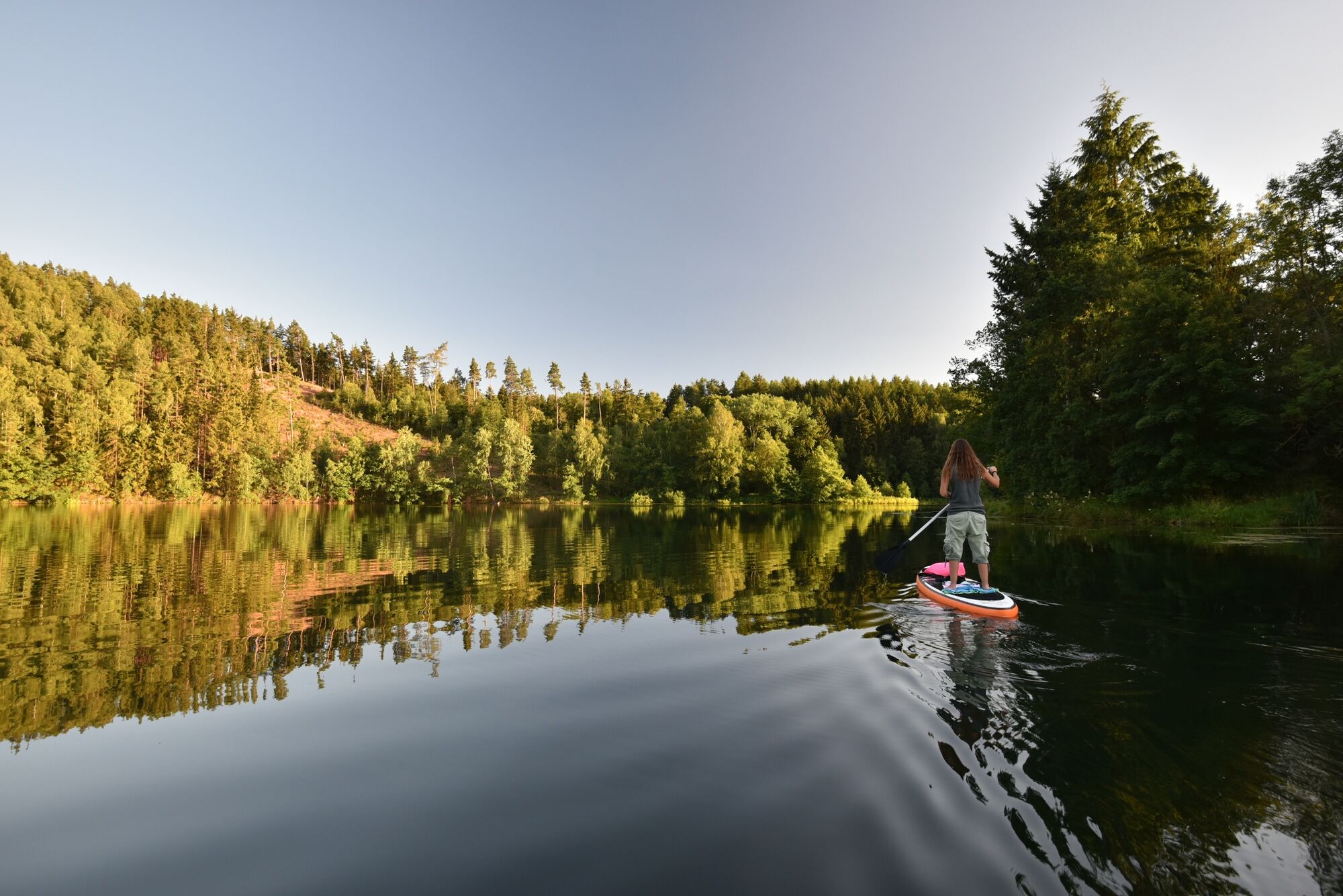
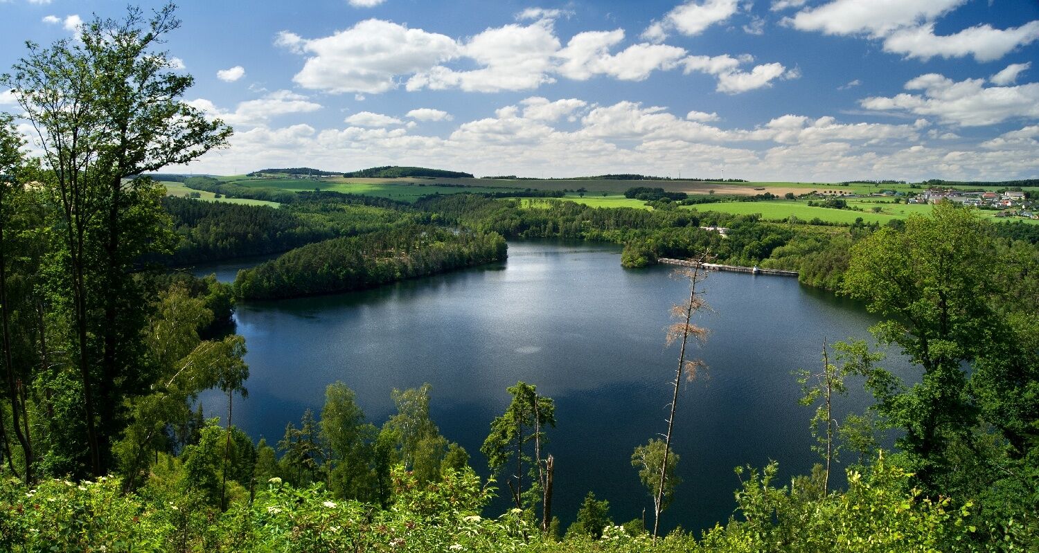
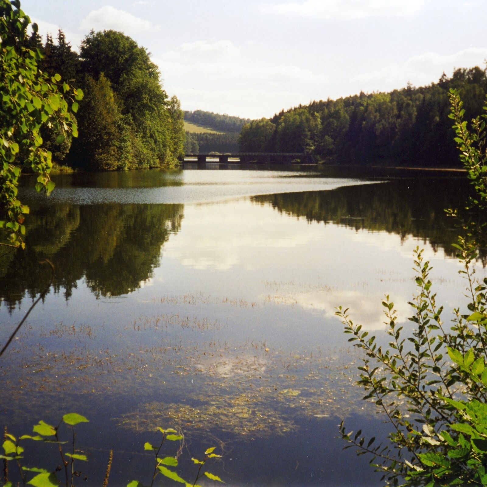
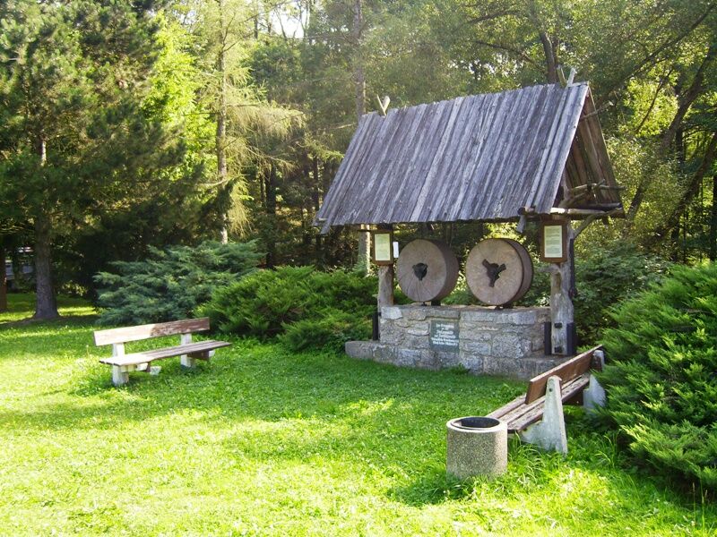
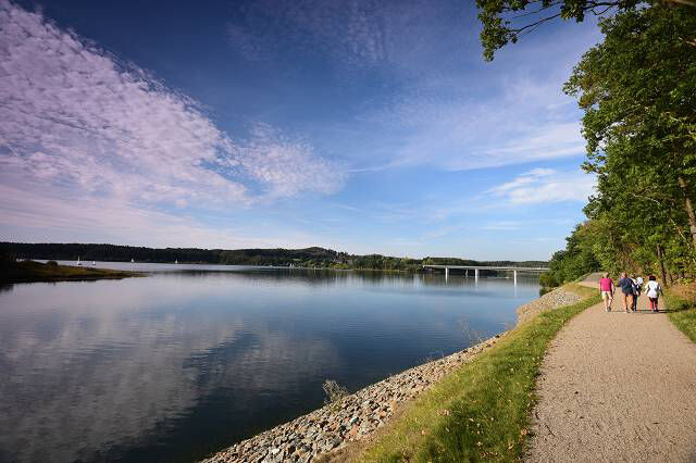
On the circular hiking trail around the Zeulenroda dam and the Weidatal dam you will have the opportunity to get to know a small part of the Thuringian Vogtland. When you go hiking in our beautiful nature, you are sure to get lots of ideas.
- Difficulté
-
moyen
- Évaluation
-
- Parcours
-
Teufelsberg (395 m)1,7 kmPiesigitz12,4 kmZadelsdorf23,8 kmBungalowdorf Zadelsdorf25,6 kmGaststätte "Zum Segel"25,6 kmStelzendorf26,4 kmZum Goldenen Stern (nur Veranst.)26,7 kmLäwitz31,0 kmKleinwolschendorf35,4 kmStrandhaus Da Rosario38,1 kmZeulenroda39,1 km
- Meilleure saison
-
janv.févr.marsavrilmaijuinjuil.aoûtsept.oct.nov.déc.
- Hauteur maximale
- 396 m
- Point de mire
-
Zeulenroda
- Profil en hauteur
-
 © outdooractive.com


- Auteur
-
La randonnée Talsperrenweg Zeulenroda est utilisé par outdooractive.com fourni par.
GPS Downloads


Informations générales
Point de rassemblement
Secret
Flore
Faune
Autres parcours dans les régions