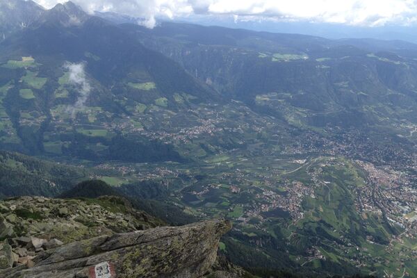
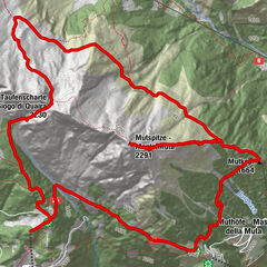
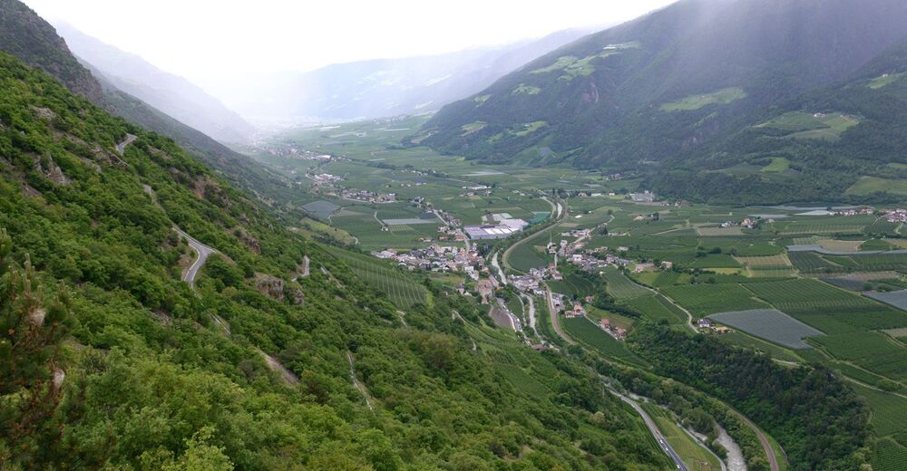
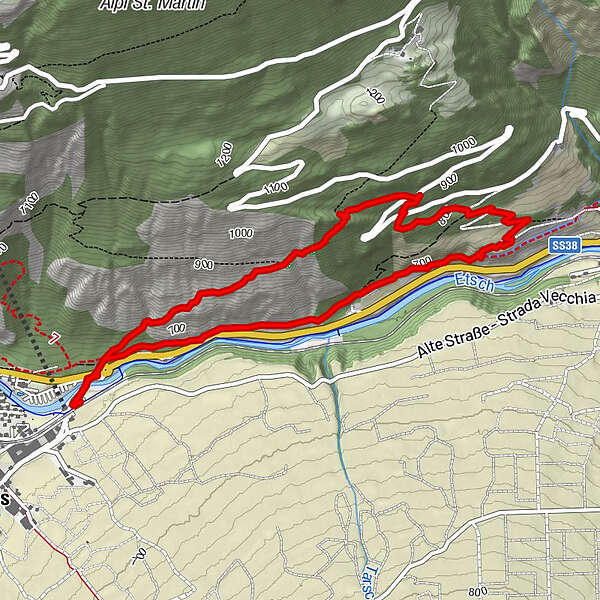
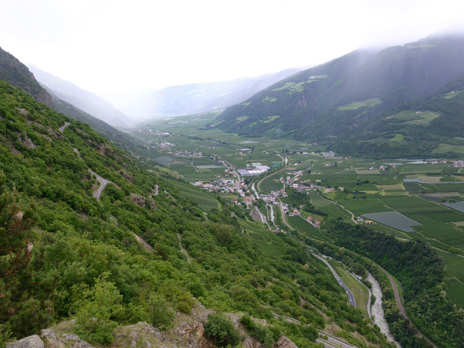
Sonnenberg mountain, a clear view of the Vinschgau valley

Randonnée
© Südtirol - Alto Adige - Naturapp Südtirol - Alto Adige

- Brève description
-
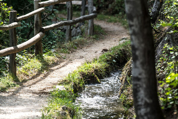
The landscape of this special hike on Sonnenberg mountain is dominated by sparsely forested inner-Alpine dry vegetation. This hike provides insights into this unique vegetation zone as well as exceptional views of a mudslide/scree area characteristic of the Vinschgau valley.
- Difficulté
-
moyen
- Évaluation
-
- Parcours
-
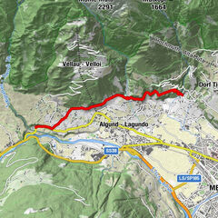
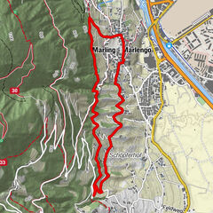
Hofschank Pfraum3,2 km
- Meilleure saison
-
janv.févr.marsavrilmaijuinjuil.aoûtsept.oct.nov.déc.
- Hauteur maximale
- 954 m
- Point de mire
-
Starting point
- Profil en hauteur
-
 © outdooractive.com
- Auteur
-
La randonnée Sonnenberg mountain, a clear view of the Vinschgau valley est utilisé par outdooractive.com fourni par.
GPS Downloads


Informations générales
Point de rassemblement
Flore
Faune
Prometteur
Autres parcours dans les régions
-
Vinschgau
1278
-
Kastelbell - Tschars
578
-
Tschars
86