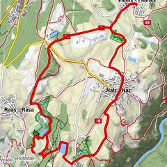
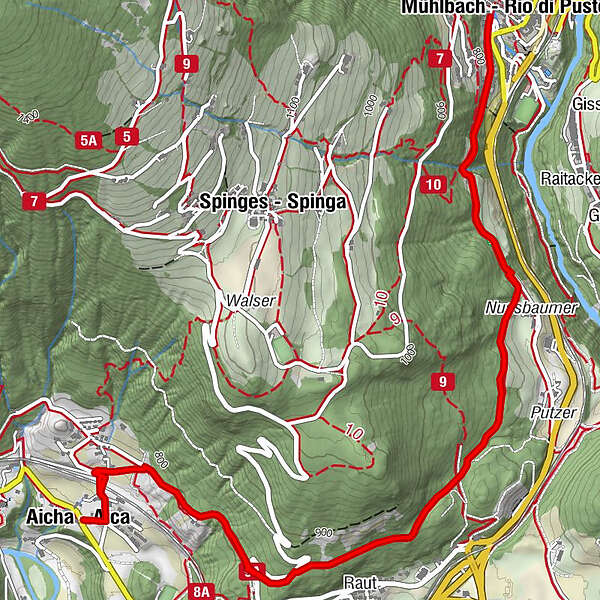
From Aica|Aicha to the Stöcklvater Church in Rio di Pusteria

Randonnée

© Unbekannt - By Fedi at de.wikipedia [GFDL (http://www.gnu.org/copyleft/fdl.html) or CC-BY-SA-3.0 (http://creativecommons.org/licenses/by-sa/3.0/)], from Wikimedia Commons

- Brève description
-
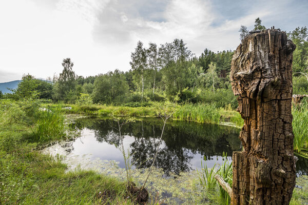
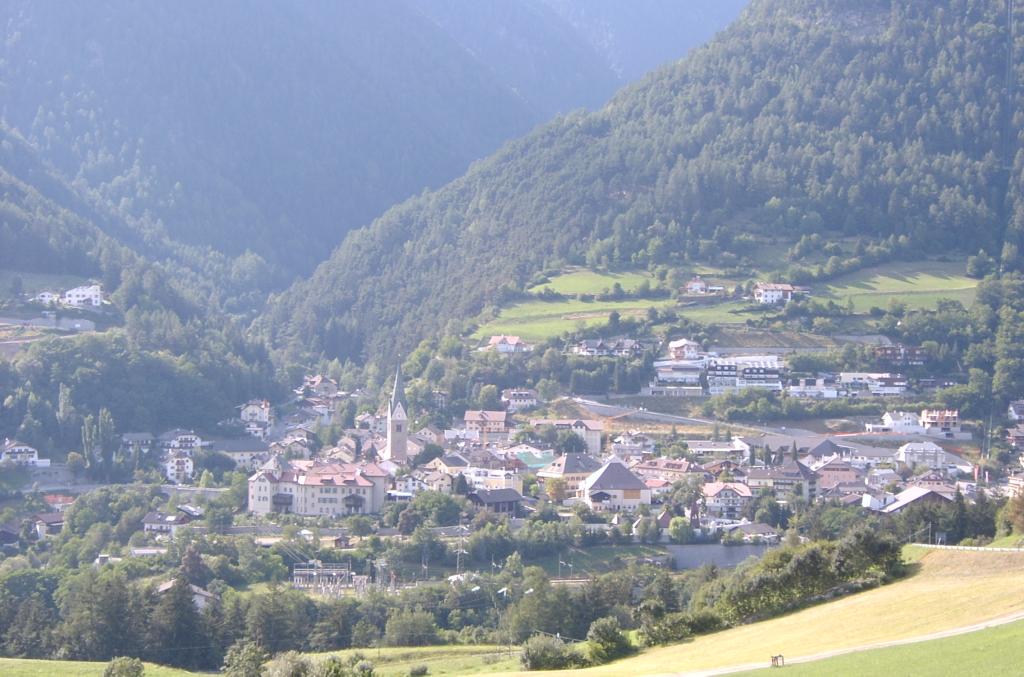
This walk through interesting landscapes at the entrance to the Pustertal Valley, leads through the upper boundary of orchards and vineyards, where on the sunny slopes of Rio di Pusteria there are cultivation trials of apple trees and grape varieties. A gem worth seeing is the “Stöcklvater” chapel, a place of pilgrimage in Rio di Pusteria, as well as the renowned “Urlaubstöckl”.
- Parcours
-
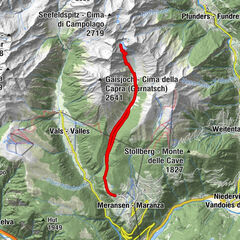
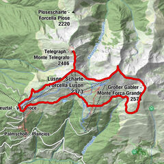
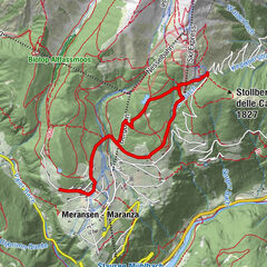
Aicha (719 m)Raut1,7 kmMühlbach (775 m)4,6 kmRaut7,4 kmAicha (719 m)9,2 km
- Hauteur maximale
- 853 m
- Point de mire
-
Church in Aica|Aicha (719 m)
- Profil en hauteur
-
 © outdooractive.com
- Auteur
-
La randonnée From Aica|Aicha to the Stöcklvater Church in Rio di Pusteria est utilisé par outdooractive.com fourni par.
GPS Downloads


Autres parcours dans les régions
-
Brixen und Umgebung
1976
-
Gitschberg - Jochtal
672
-
Spinges
173