Dates des itinéraires
5,42km
1.270
- 1.766m
487hm
487hm
02:00h
- Brève description
-
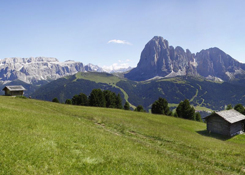
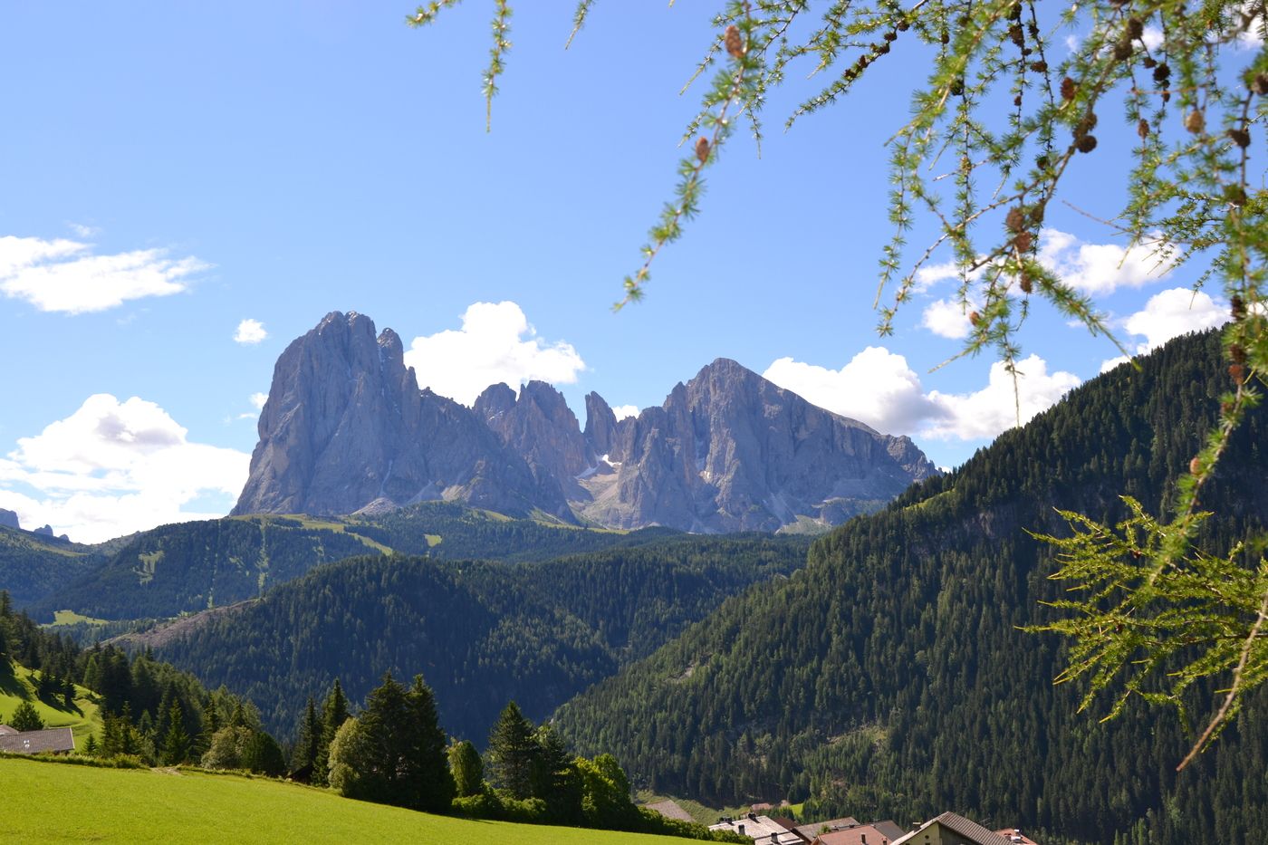
Leichte Wanderung auch für Familien
- Difficulté
-
moyen
- Évaluation
-
- Parcours
-
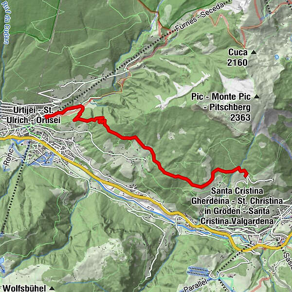
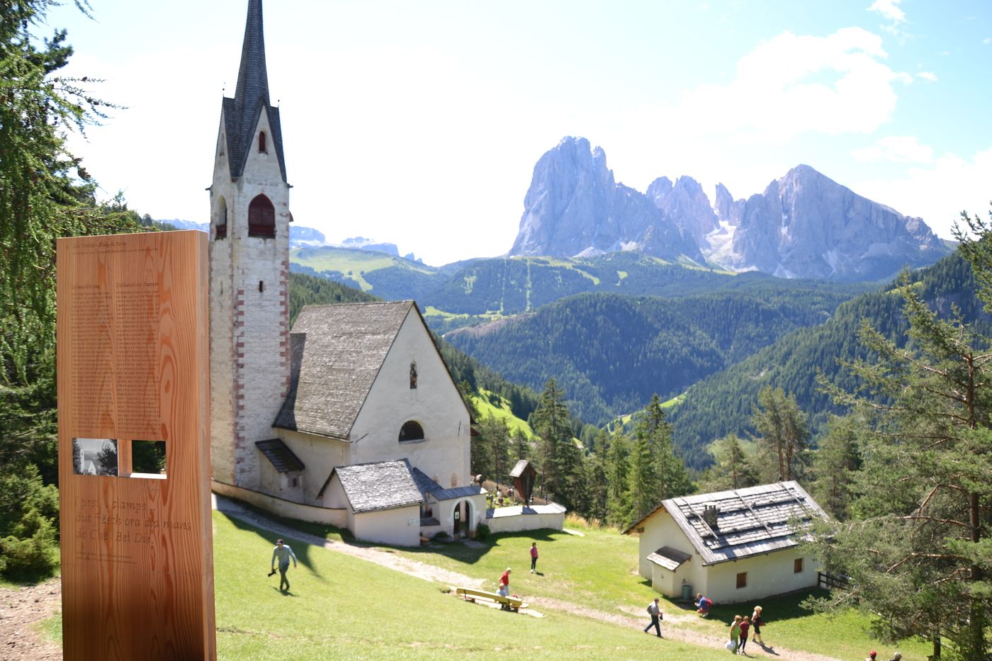
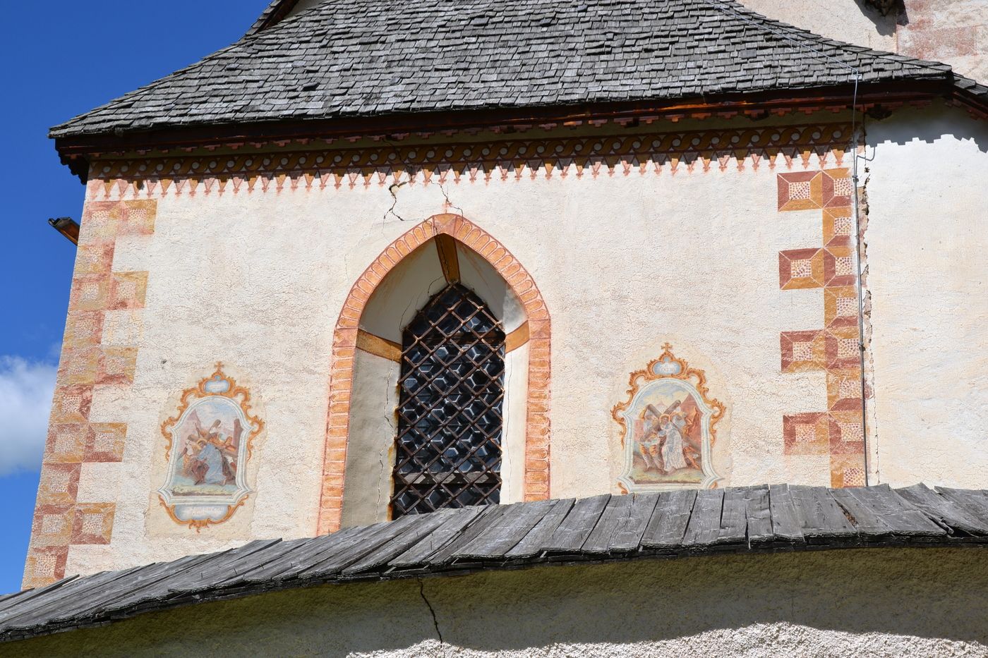
St.-Jakobs-Kirche2,8 kmSt.-Anna-Kirche5,2 kmSt. Ulrich (1.236 m)5,3 km
- Meilleure saison
-
janv.févr.marsavrilmaijuinjuil.aoûtsept.oct.nov.déc.
- Hauteur maximale
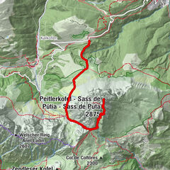
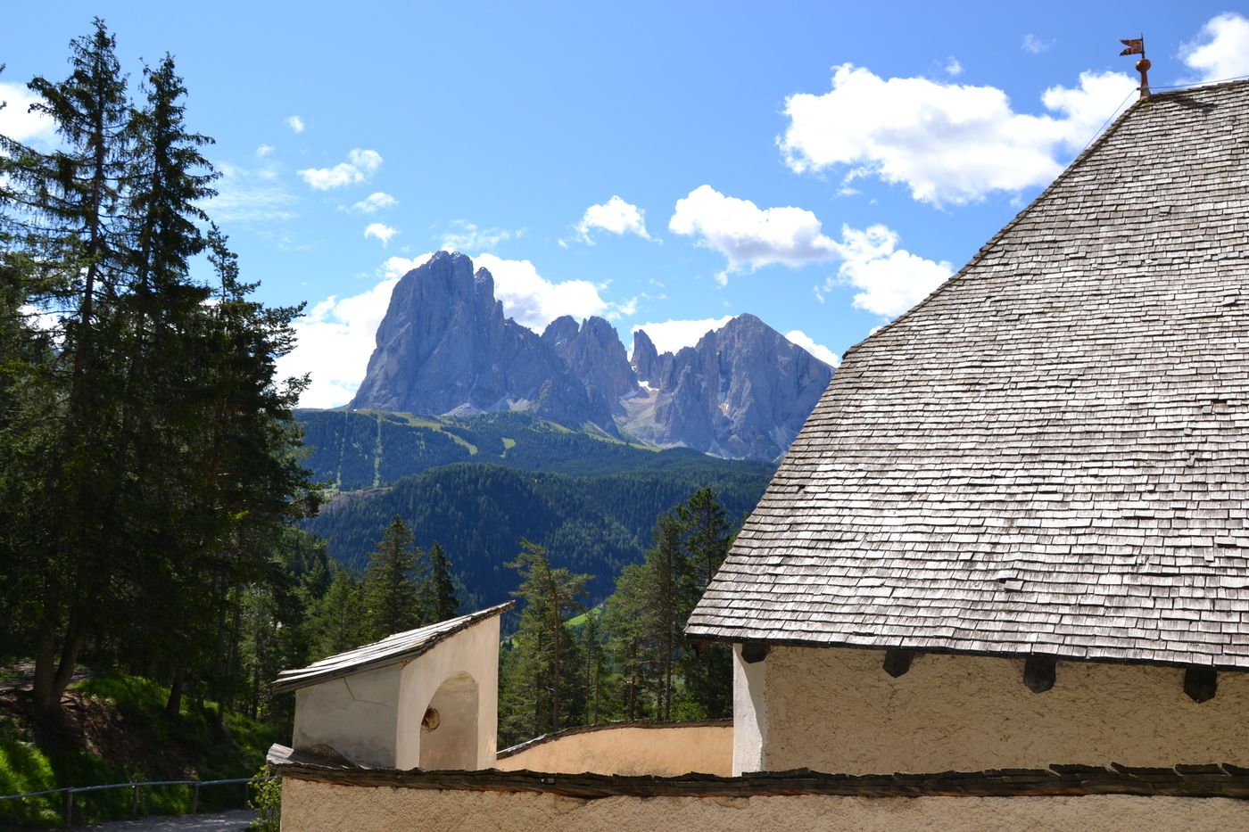
- Runcaudie (1.766 m)


GPS Downloads


Nature du chemin
Asphalte
Gravier
Pelouse
Forêt
Rocher
Exposé
Autres parcours dans les régions