© Hotel CYPRIANERHOF - Cyprianerhof Dolomit Resort

- Brève description
-
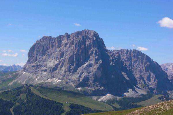
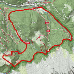
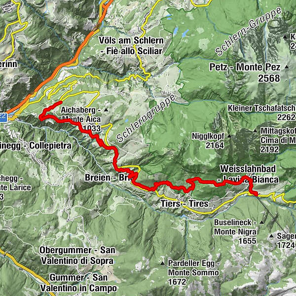
The “Oachner Höfeweg“ is one of the hiking highlights in the area of Fié allo Sciliar and particularly recommendable in spring and autumn.
- Parcours
-
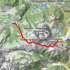
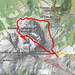
Unteraicha0,3 kmBuschenschank Innerperskolerhof2,3 kmFronthof3,1 kmBreien5,7 kmSankt Katharina in Breien5,8 kmSt. Kathrein5,9 kmGanne6,7 kmPestkapelle Sankt Sebastian10,7 kmWeisslahnbad13,5 kmSt. Zyprian14,1 km
- Hauteur maximale
- 1.414 m
- Profil en hauteur
-
 © outdooractive.com
-

-
AuteurLa randonnée "Oachner Höfeweg" est utilisé par outdooractive.com fourni par.
GPS Downloads


Autres parcours dans les régions
-
Bozen und Umgebung - Südtirols Süden
1949
-
Eggental
1064
-
Tiers am Rosengarten
428