
- Brève description
-
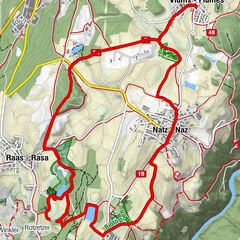
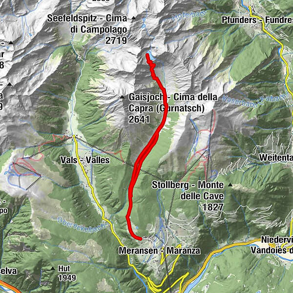
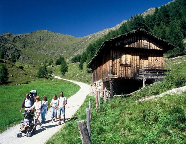
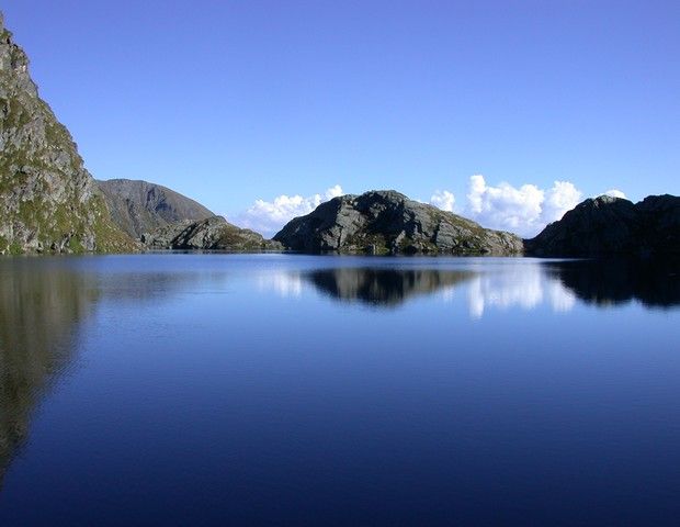
Bergwanderung zum idyllischen Seefeldsee durch das malerische Altfasstal mit seien Almwiesen und dem klaren Meanderbach. Sie haben die Möglichkeit bis zum zweiten und dritten Seefelsee über alpine Almwiesen weiterzuwandern.
- Parcours
-
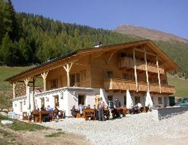
Großberghütte (1.640 m)2,7 kmPranter Stadl5,6 km
- Hauteur maximale
- 2.290 m
- Profil en hauteur
-
 © outdooractive.com
- Auteur
-
La randonnée Seefeldsee est utilisé par outdooractive.com fourni par.
GPS Downloads


Autres parcours dans les régions
-
Brixen und Umgebung
1973
-
Gitschberg - Jochtal
671
-
Vals
129