
- Brève description
-
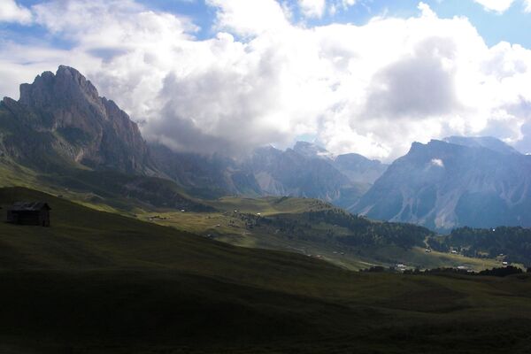
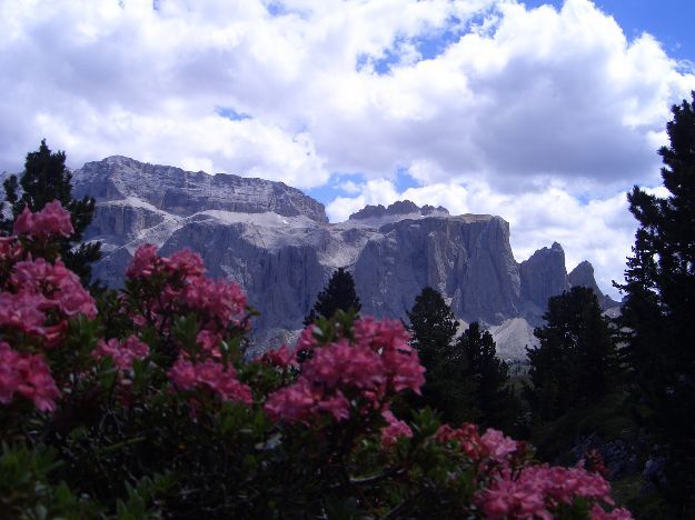
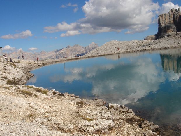
Only for experienced hikers on days with good weather conditions
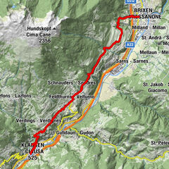
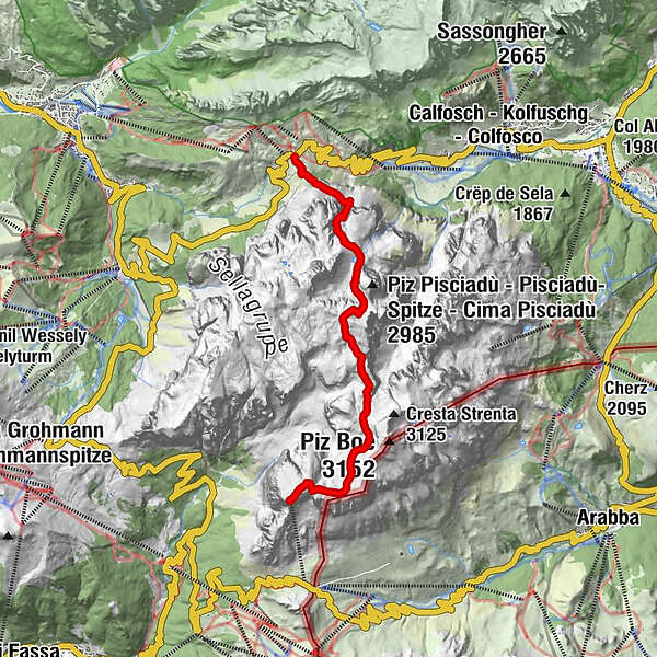
- Parcours
-
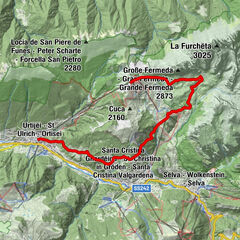
Gardena Pass (2.121 m)0,0 kmPisciadù Hütte2,5 kmVal di Tita3,3 kmBoéhütte5,5 kmPordoihütte7,7 kmSasso Pordoi (2.950 m)8,3 kmRifugio Maria8,3 kmSass Pordoi8,4 km
- Hauteur maximale
- 2.954 m
- Profil en hauteur
-
 © outdooractive.com

- Auteur
-
La randonnée Traverse of the Gruppo Sella est utilisé par outdooractive.com fourni par.
GPS Downloads


Autres parcours dans les régions
-
Dolomiten
1826
-
Sellaronda
1116
-
Pordoipass
327