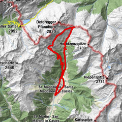
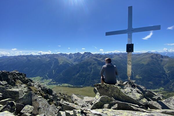
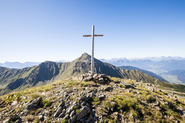
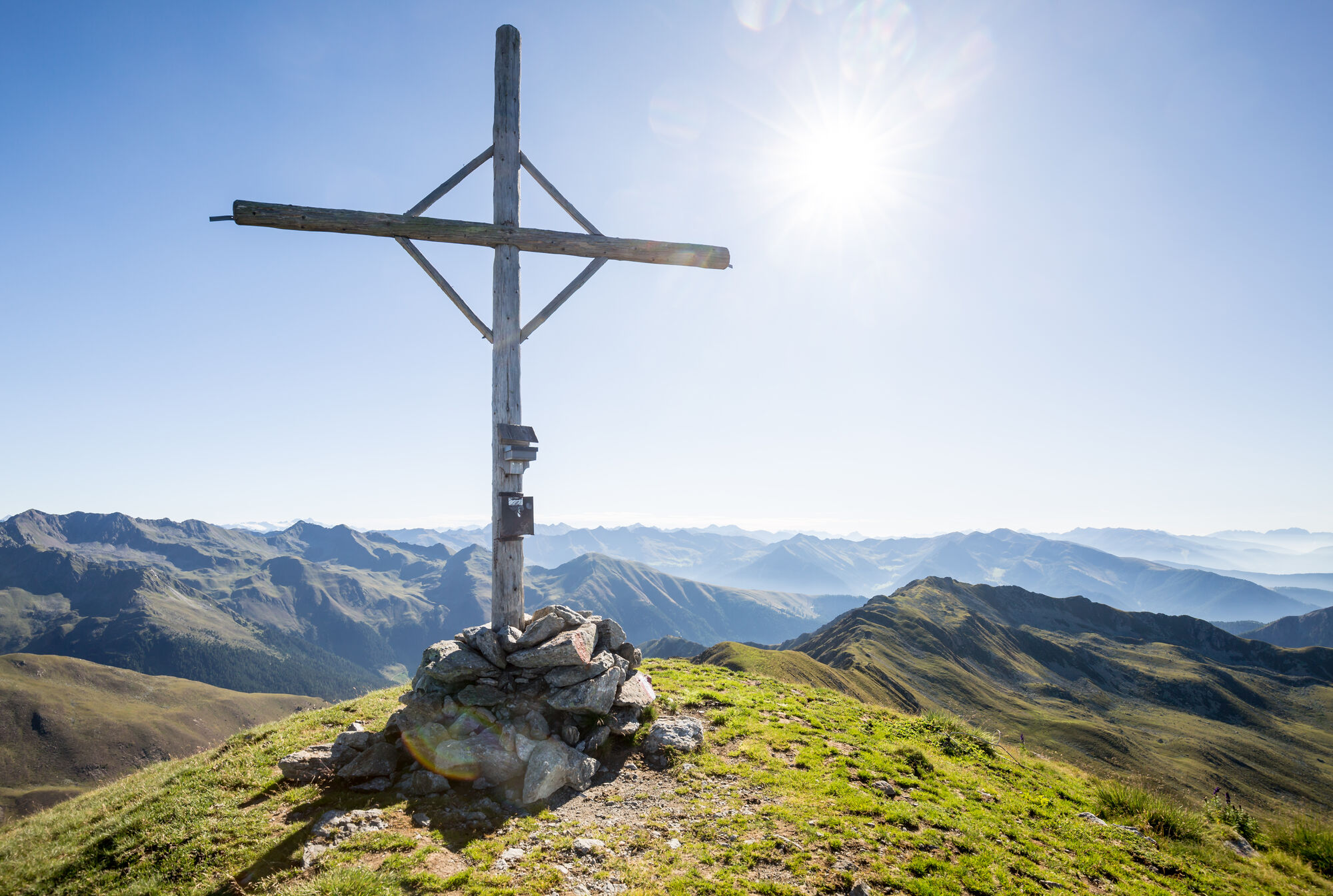
Mountain hike onto the Amperspitze (2687m)

Randonnée en montagne

Dates des itinéraires
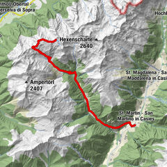
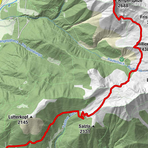
10,73km
1.623
- 2.657m
1.231hm
1.231hm
04:20h
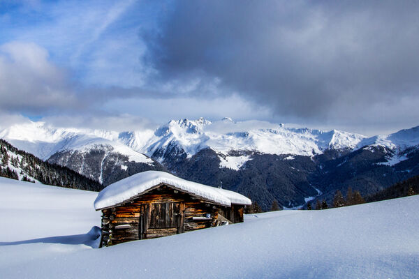
- Brève description
-
Mountain “Amperspitze (2687m)”
Panoramic hike with a view of the DolomitesStarting point: Tesido parking above the Mudler Hofes (1622m)
Length of the tour: 11 km
Descent: via the ascent route
Duration: 04:00 h
Difficulty: difficult
Difference in altitude: 1183 m - Difficulté
-
moyen
- Évaluation
-
- Parcours
-
Taistner Vorderalm4,1 kmMonte Costa (2.688 m)10,6 km
- Meilleure saison
-
janv.févr.marsavrilmaijuinjuil.aoûtsept.oct.nov.déc.
- Hauteur maximale
- 2.657 m
GPS Downloads


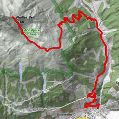
Autres parcours dans les régions