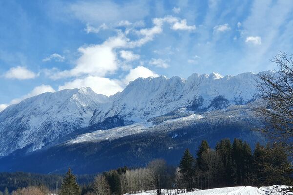
© Erlebnisregion Schladming-Dachstein - Barbara Luidold
- Brève description
-
A fine afternoon hike to enjoy the winter. Whether you take the same path back through the forest or the easier accompanying path to the main road is up to you.
- Difficulté
-
moyen
- Évaluation
-
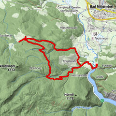
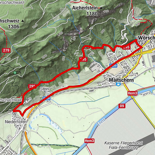
- Parcours
-
WörschachGasthaus Weitgasser0,5 kmMaitschern0,6 kmRochus Kapelle2,9 kmNiederhofen3,2 kmStein3,6 kmMaitschern4,9 kmWörschach5,5 km
- Meilleure saison
-
aoûtsept.oct.nov.déc.janv.févr.marsavrilmaijuinjuil.
- Hauteur maximale
- 746 m
- Point de mire
-
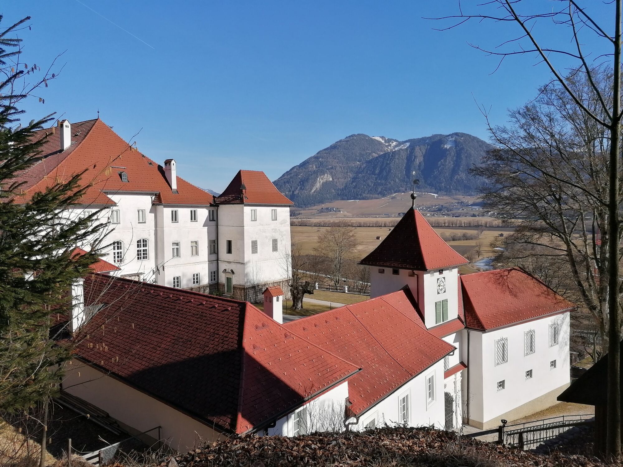
At the starting point
- Profil en hauteur
-

- Auteur
-
La randonnée Winter hike Fürstensteig est utilisé par outdooractive.com fourni par.
GPS Downloads


Informations générales
Point de rassemblement
Autres parcours dans les régions