- Brève description
-
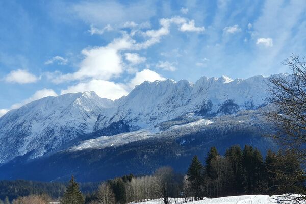
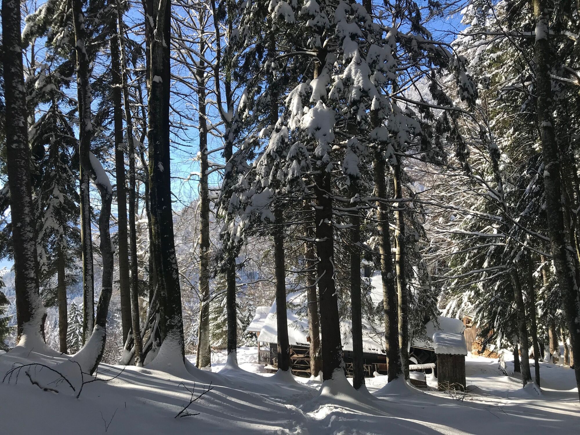
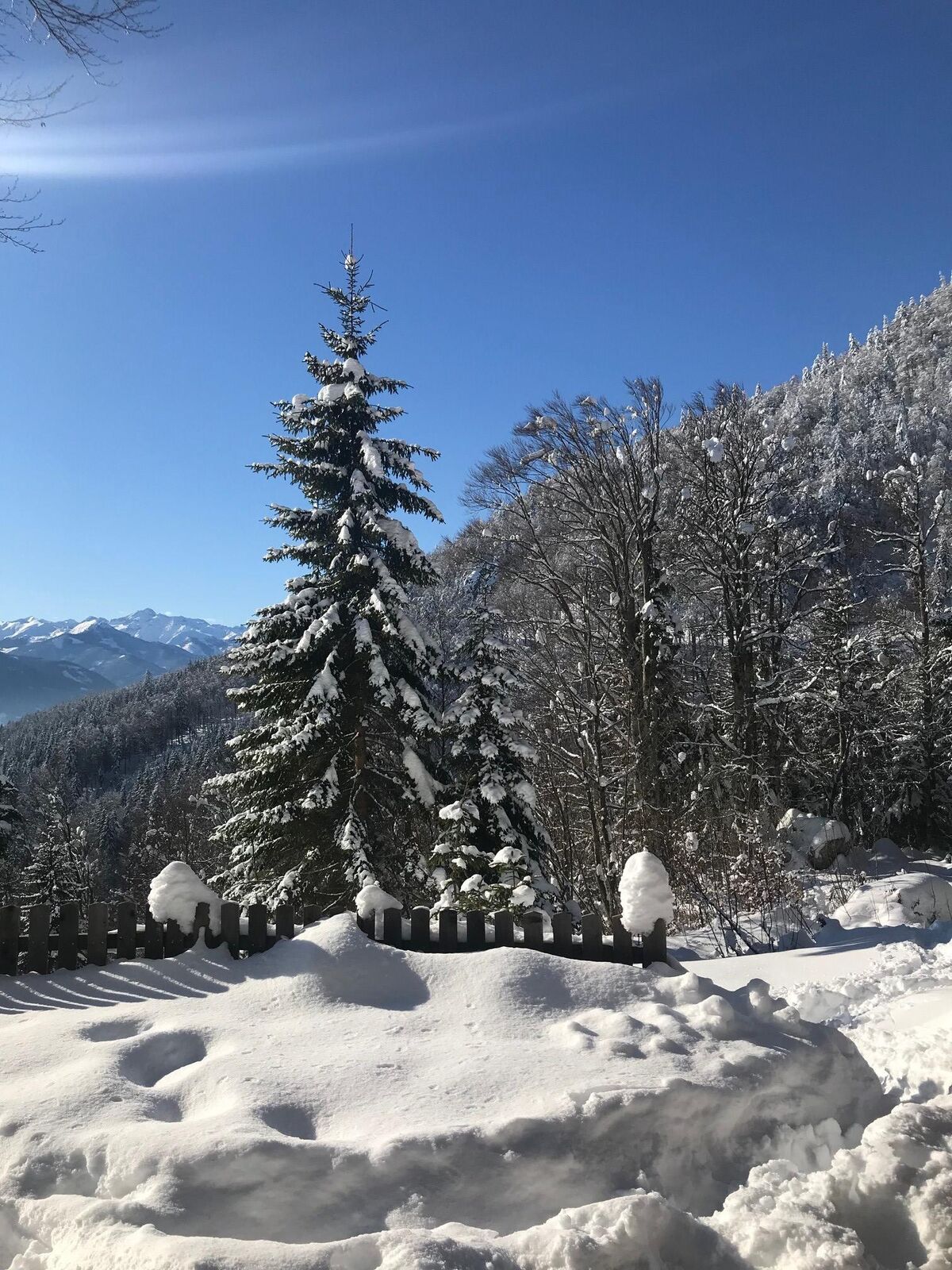
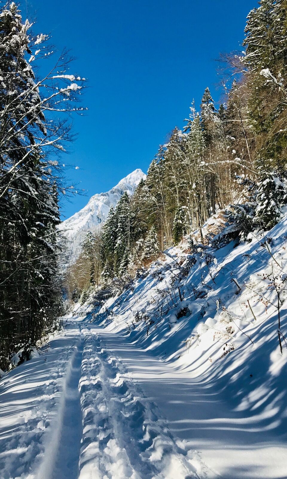
The majestic Grimming attracts you magically even in winter. And even if you don't go all the way up to the summit, you'll be very close to it on a leisurely hike to the Grimminghütte.
- Difficulté
-
facile
- Évaluation
-
- Parcours
-
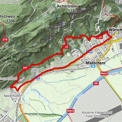
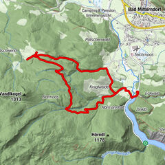
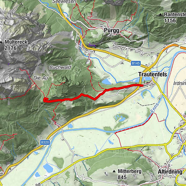
TrautenfelsGrimminghütte3,0 kmTrautenfels5,8 km
- Meilleure saison
-
aoûtsept.oct.nov.déc.janv.févr.marsavrilmaijuinjuil.
- Hauteur maximale
- 962 m
- Point de mire
-
Castle Trautenfels
- Profil en hauteur
-

- Auteur
-
La randonnée Winter hike to the Grimminghütte est utilisé par outdooractive.com fourni par.
GPS Downloads


Informations générales
Culturel/Historiquement
Prometteur
Autres parcours dans les régions