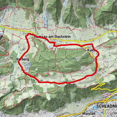
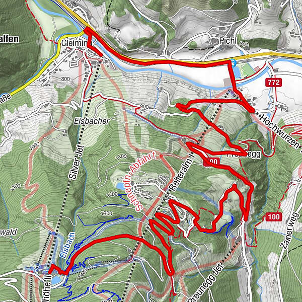
Reiteralm: winter walk to Preuneggtal valley

Randonnée d'hiver

© Erlebnisregion Schladming-Dachstein - Tourismusverband Schladming

© Ikarus.cc

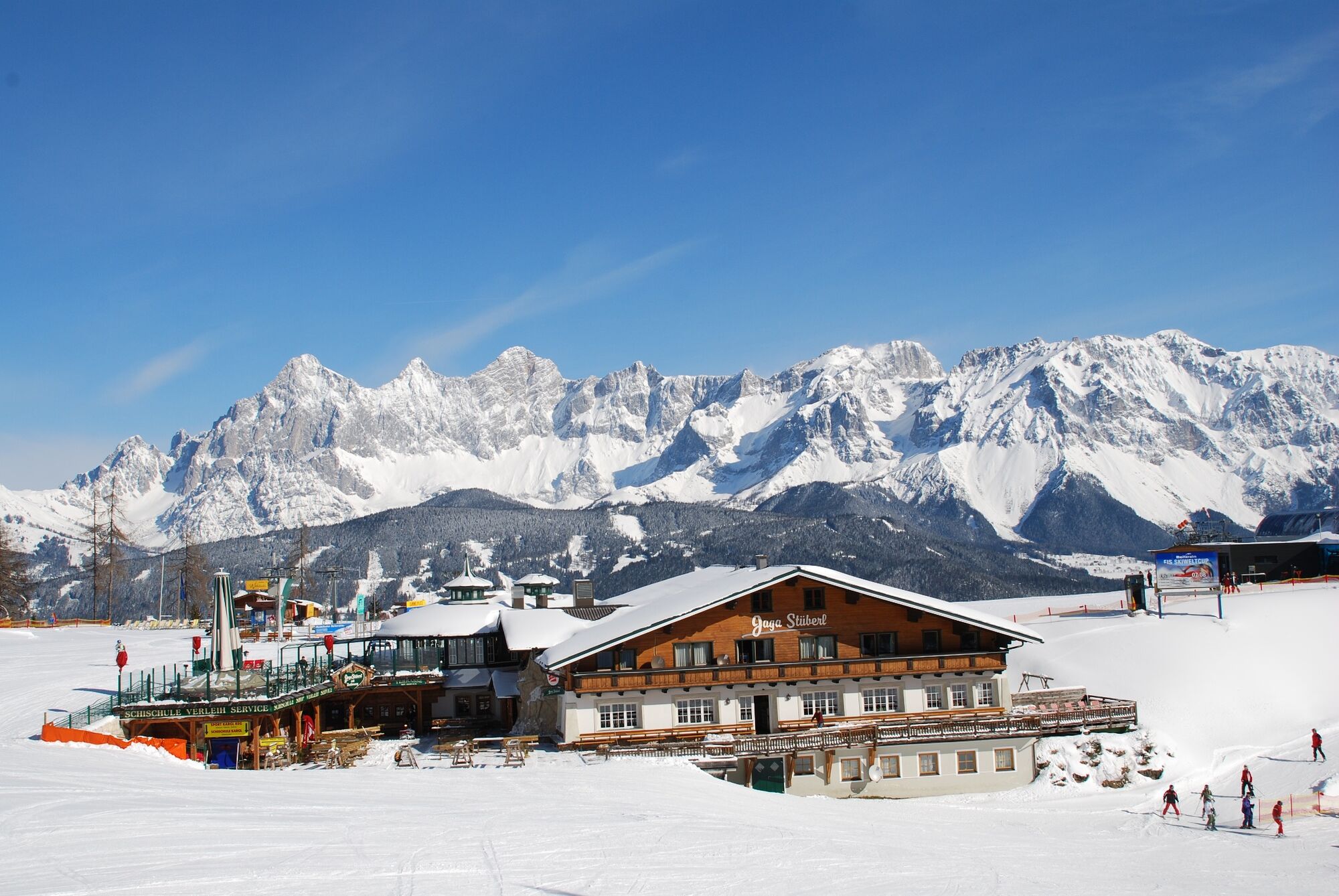
© Erlebnisregion Schladming-Dachstein - Jagastüberl Reiteralm
- Brève description
-
With the cable-car "Silver-Jet" you ascend from Gleiming to Reiteralm. From there the winter walk descends back to the valley. Via Pichl you walk back to the starting point in Gleiming.
- Difficulté
-
moyen
- Évaluation
-
- Parcours
-
Almrestaurant Edelweiß3,0 kmBänklingerhof3,6 kmRaunerhof5,0 kmPreunegg5,6 kmPichl bei Schladming7,5 kmPichl7,5 kmGleiming9,1 km
- Meilleure saison
-
aoûtsept.oct.nov.déc.janv.févr.marsavrilmaijuinjuil.
- Hauteur maximale
- 1.372 m
- Point de mire
-
Valley terminal Reiteralm-Hochwurzen
- Profil en hauteur
-


-

-
AuteurLa randonnée Reiteralm: winter walk to Preuneggtal valley est utilisé par outdooractive.com fourni par.
GPS Downloads


Informations générales
Point de rassemblement
Autres parcours dans les régions
-
Schladming - Dachstein
150
-
Ramsau am Dachstein
115
-
Pichl
36