© Tourismusverband Region Murau - Infobüro Murau

© Holzwelt Murau - Tom Lamm

© Tourismusverband Region Murau - cstrobl

© Tourismusverband Region Murau - cstrobl


- Brève description
-
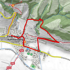
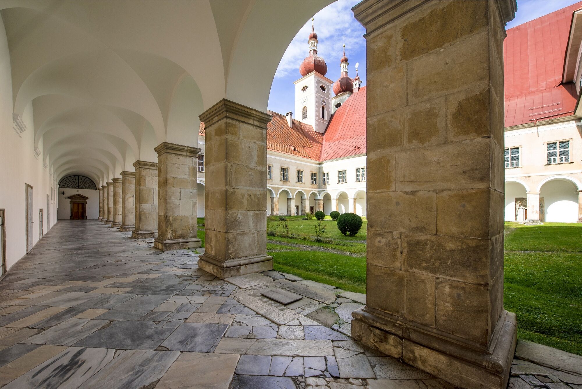
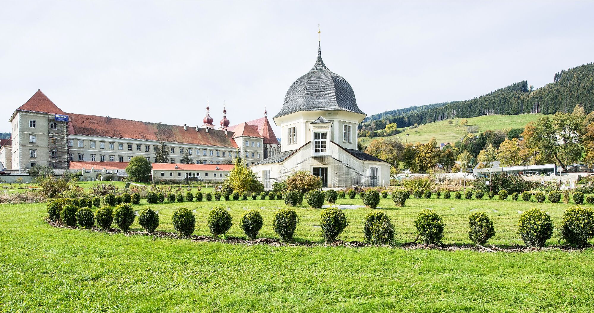
The sunny hiking trail runs from St. Lambrecht to St. Blase along the 4th stage of the VIA NATURA, the 130 km long long-distance hiking trail.
- Difficulté
-
moyen
- Évaluation
-
- Parcours
-
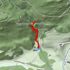
Sankt LambrechtHeiligenstadt1,5 kmStraussenhof Wallner2,4 kmVorderbach3,1 kmKirchmoar3,8 kmFilialkirche hl. Blasius3,9 kmSankt Blasen4,0 km
- Meilleure saison
-
janv.févr.marsavrilmaijuinjuil.aoûtsept.oct.nov.déc.
- Hauteur maximale
- 1.067 m
- Point de mire
-
Gehöft Wirt im Pichl, St. Blasen
- Profil en hauteur
-


- Auteur
-
La randonnée Lois Steiner Weg est utilisé par outdooractive.com fourni par.
GPS Downloads


Informations générales
Point de rassemblement
Secret
Prometteur
Autres parcours dans les régions