© Erlebnisregion Murtal - Stefanie Hofer

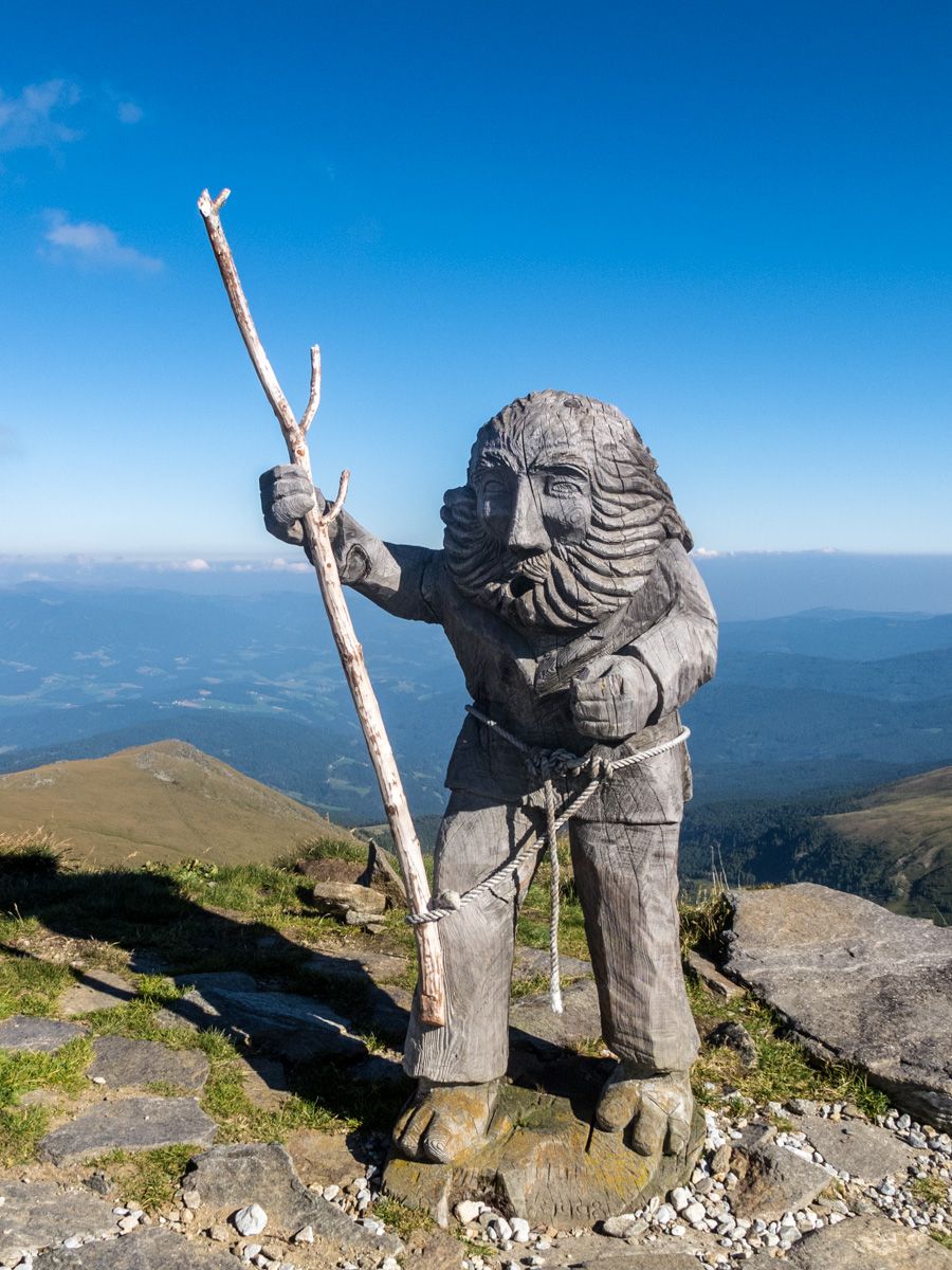
© ÖTK - Michael Platzer

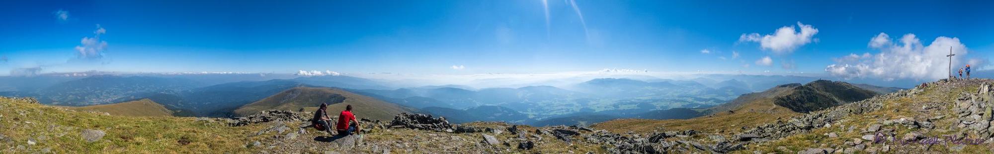
© ÖTK - Michael Platzer

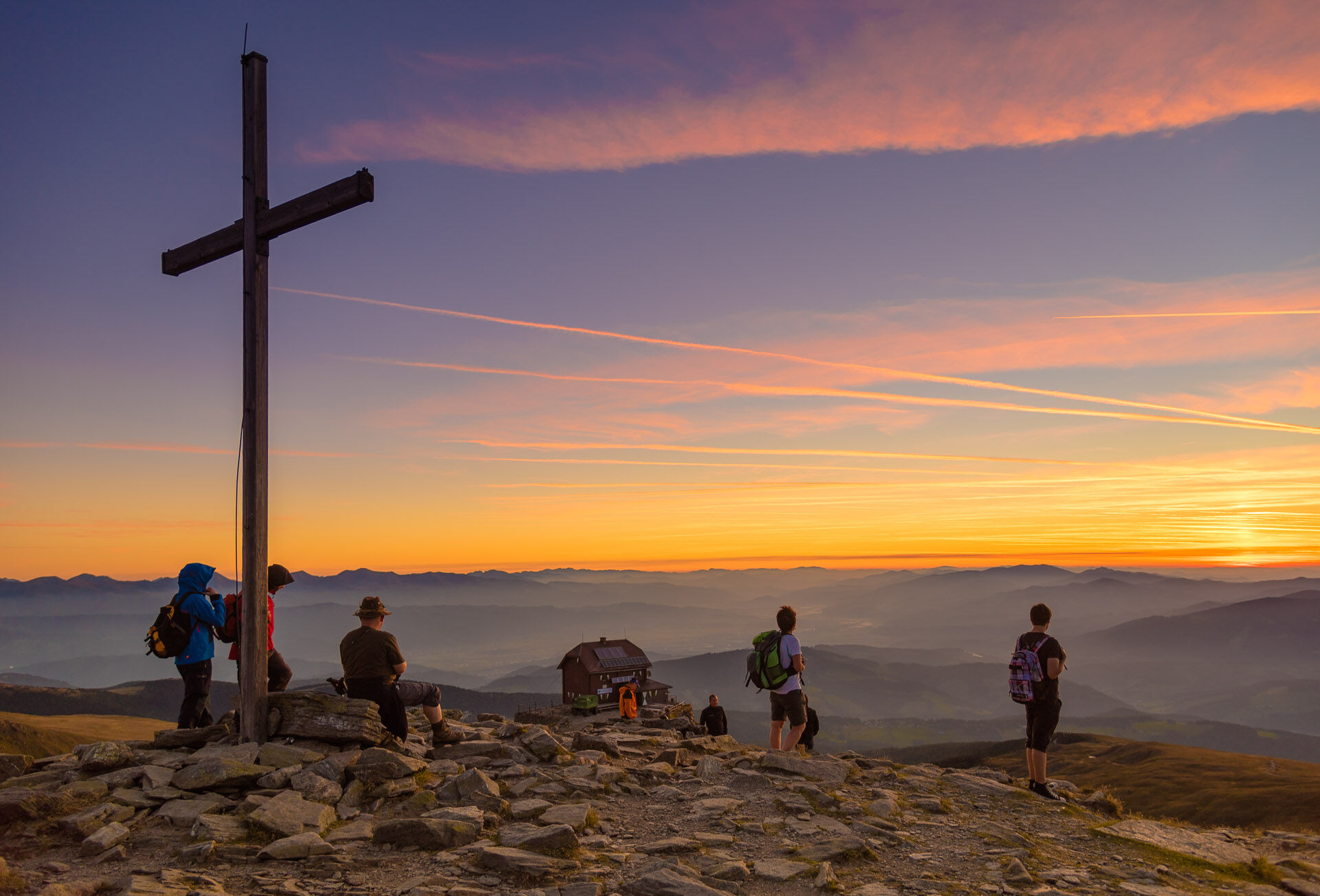
© ÖTK - Michael Platzer

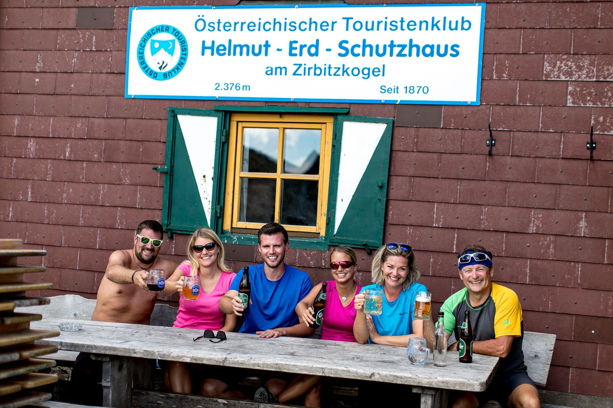
© Maria Leitner (TVB Steirisches Zirbenland) - Michael Platzer

© Erlebnisregion Murtal - Stefanie Hofer

© Erlebnisregion Murtal - Tom Lamm

© Erlebnisregion Murtal - Tom Lamm

© Erlebnisregion Murtal - Tom Lamm

- Brève description
- Difficulté
-
difficile
- Évaluation
-
- Parcours
-
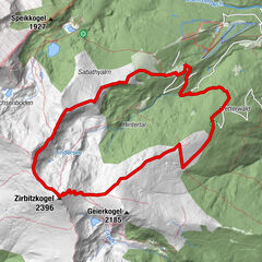
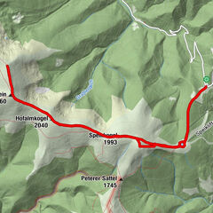
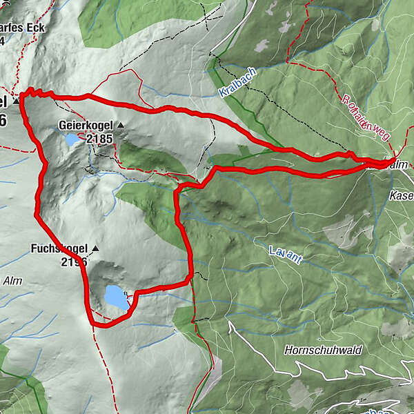
WaldheimhütteMaria in der Zirbe1,2 kmTürkenkreuz2,6 kmKatholisches Kreuz (1.814 m)3,7 kmZirbitzkogel (2.396 m)8,9 kmZirbitzkogel Schutzhaus8,9 kmWaldheimhütte14,3 km
- Meilleure saison
-
janv.févr.marsavrilmaijuinjuil.aoûtsept.oct.nov.déc.
- Hauteur maximale
- 2.372 m
- Point de mire
-
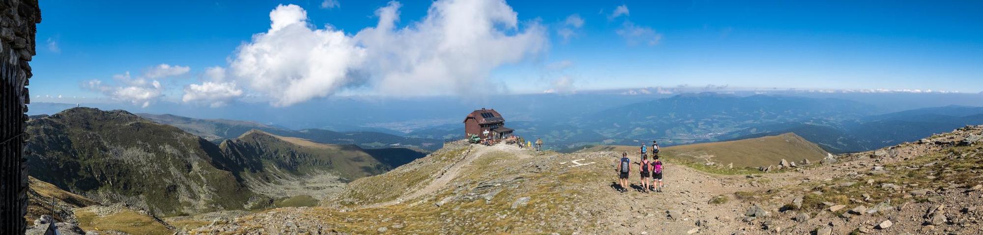
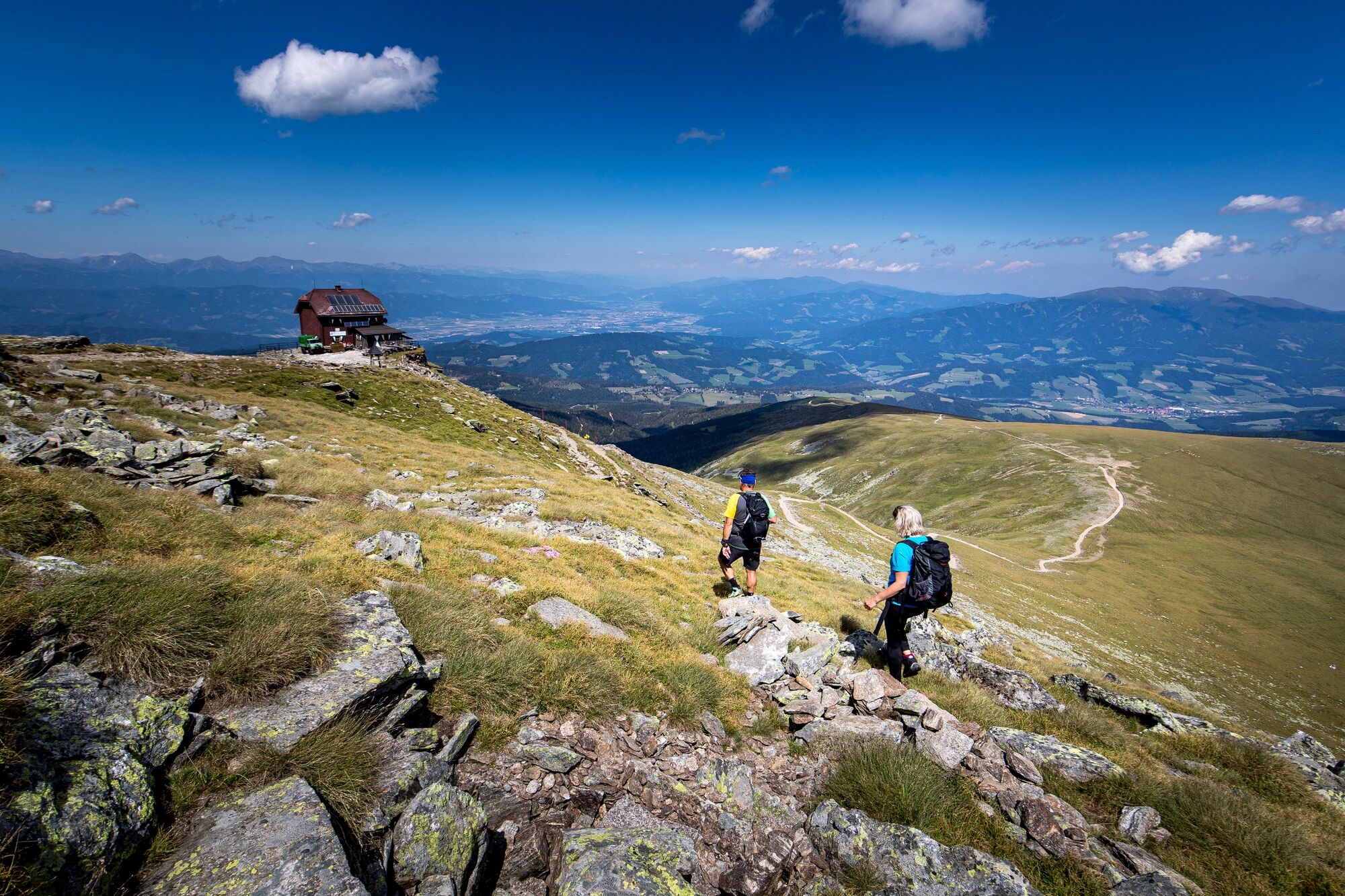
Waldheimhütte hut
- Profil en hauteur
-


- Auteur
-
La randonnée From the Waldheimhütte hut to the Zirbitzkogel est utilisé par outdooractive.com fourni par.
GPS Downloads


Informations générales
Point de rassemblement
Secret
Prometteur
Autres parcours dans les régions
-
Erlebnisregion Murtal
1783
-
Steirisches Zirbenland
711
-
Mühlen
222