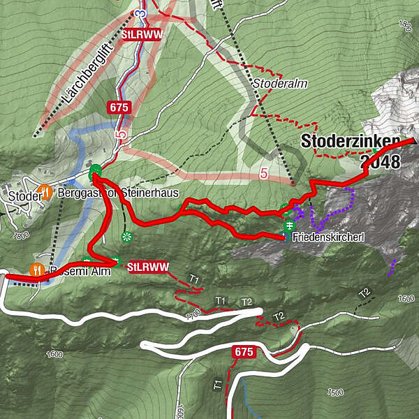
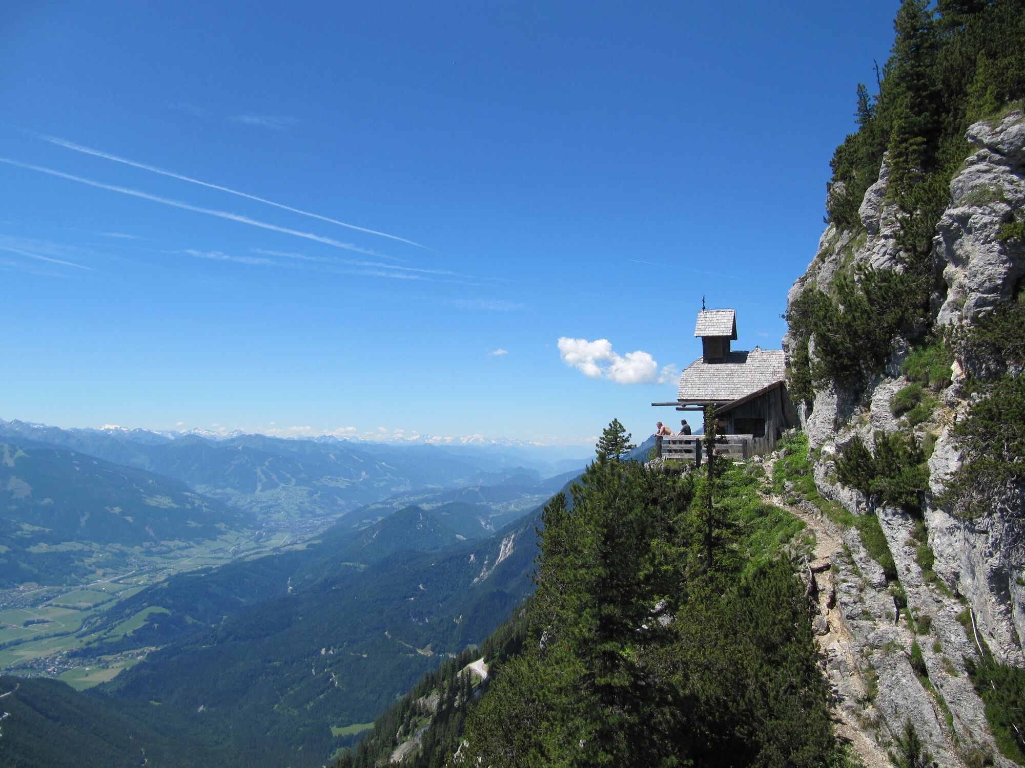
To the Friedenskircherl chapel and to Stoderzinken

Randonnée

© Erlebnisregion Schladming-Dachstein - Schladming Dachstein

© Erlebnisregion Schladming-Dachstein - Schladming Dachstein

© Erlebnisregion Schladming-Dachstein - Schladming Dachstein
- Brève description
-
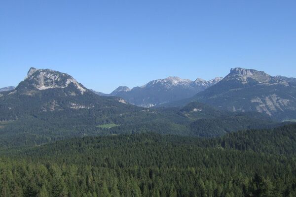
Hike to the Friedenskirchlein in the footsteps of Peter Rosegger and to the summit of the Gröbminger and Aicher local mountains.
- Difficulté
-
moyen
- Évaluation
-
- Parcours
-
Rosemi Alm0,1 kmFriedenskircherl1,4 kmStoderzinken2,6 kmRosemi Alm4,5 km
- Meilleure saison
-
janv.févr.marsavrilmaijuinjuil.aoûtsept.oct.nov.déc.
- Hauteur maximale
- 2.041 m
- Point de mire
-
Stoderzinken
- Profil en hauteur
-


-

-
AuteurLa randonnée To the Friedenskircherl chapel and to Stoderzinken est utilisé par outdooractive.com fourni par.
GPS Downloads


Informations générales
Point de rassemblement
Flore
Faune
Prometteur
Autres parcours dans les régions
-
Schladming - Dachstein
3001
-
Haus - Aich
1364
-
Aich
275