© Gemeinde Scheifling - Köstenberger

© Gemeinde Scheifling - Köstenberger

© Gemeinde Scheifling - Köstenberger

- Brève description
-
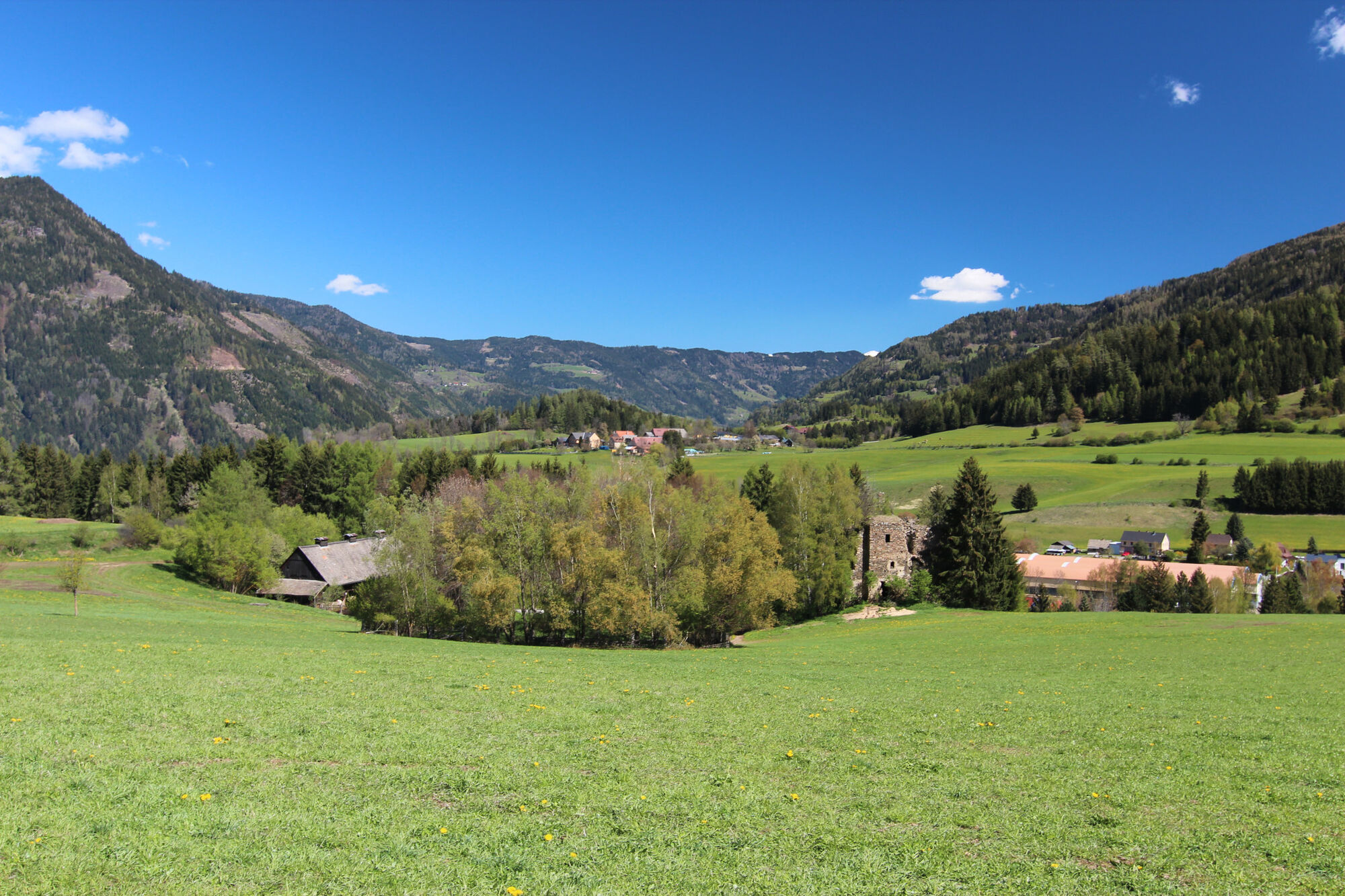
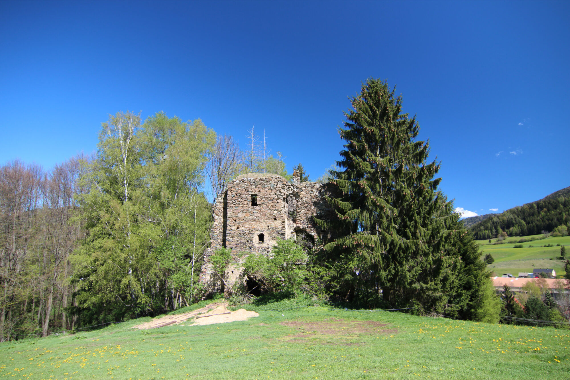
A moderately difficult hiking route, with wonderful landscape scenery and one or two viewing points that invite you to linger.
- Difficulté
-
moyen
- Évaluation
-
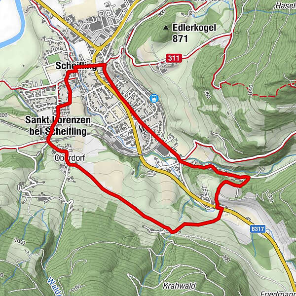
- Parcours
-
KirchenwirtScheifling0,0 kmGasthaus zur Post0,1 kmGasthof Springer2,5 kmSchachen2,8 kmOberdorf4,1 kmSankt Lorenzen bei Scheifling4,5 kmHl. Thomas5,3 kmScheifling5,3 kmKirchenwirt5,3 km
- Meilleure saison
-
janv.févr.marsavrilmaijuinjuil.aoûtsept.oct.nov.déc.
- Hauteur maximale
- 875 m
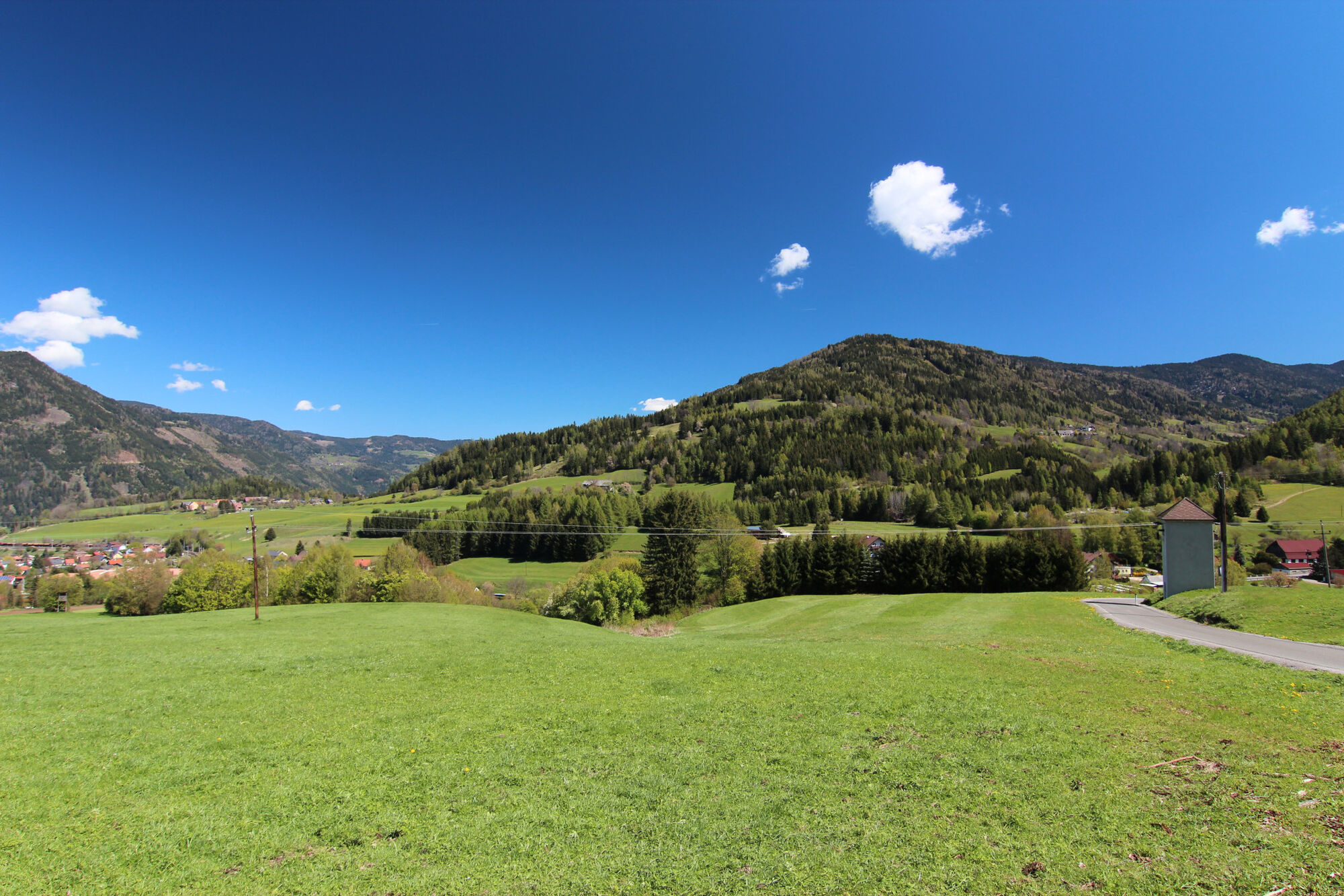
- Point de mire
-
Main square, Scheifling
- Profil en hauteur
-

- Auteur
-
La randonnée Tschakathurn round est utilisé par outdooractive.com fourni par.
GPS Downloads


Autres parcours dans les régions