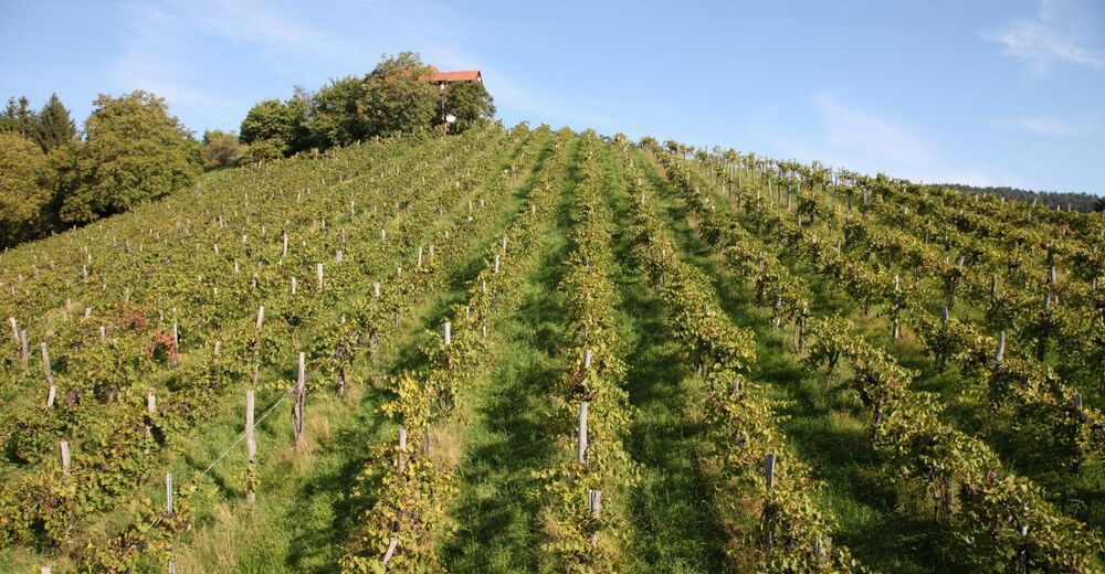
© Schilcherland Steiermark - Brigitte Kügerl

© Schilcherland Steiermark - Brigitte Kügerl

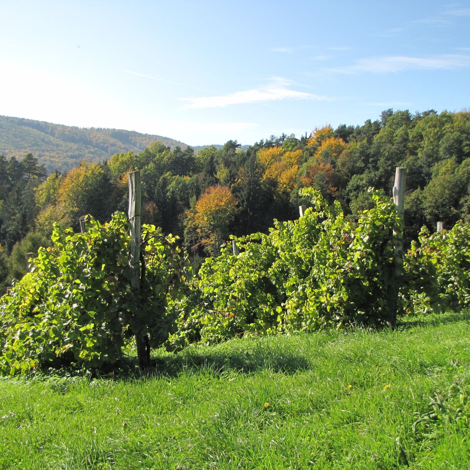
© Schilcherland Steiermark - Alois Rumpf

© Schilcherland Steiermark - Alois Rumpf
© Schilcherland Steiermark - Alois Rumpf
- Brève description
-
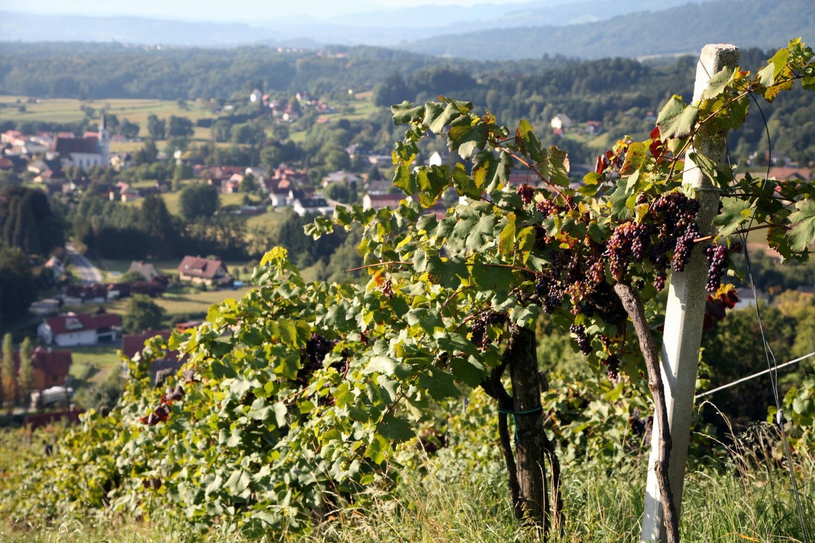
Markierung: weinrote Alutafeln mit "Winzerweg"
- Difficulté
-
moyen
- Évaluation
-
- Parcours
-
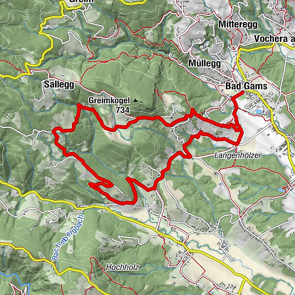
Pfarrkirche Bad GamsBad GamsDirnberg2,2 kmBergegg2,4 kmSallegg8,3 kmFurthnerberg11,2 kmWegkapelle11,2 kmGamser Winzerstube11,6 kmPfarrkirche Bad Gams12,9 kmBad Gams12,9 km
- Meilleure saison
-
janv.févr.marsavrilmaijuinjuil.aoûtsept.oct.nov.déc.
- Hauteur maximale
- 674 m
- Point de mire
-
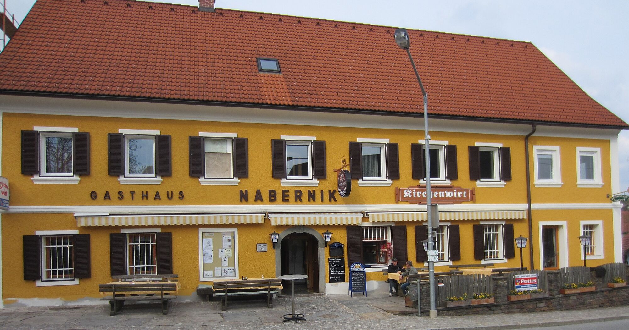
Car park at the Bad Gams sports field or Kurhotel Kipper
- Profil en hauteur
-


-

-
AuteurLa randonnée Winzerweg in Bad Gams est utilisé par outdooractive.com fourni par.
GPS Downloads


Informations générales
Point de rassemblement
Autres parcours dans les régions
-
Erlebnisregion Graz
2783
-
Schilcherland Steiermark
1100
-
Deutschlandsberg
168