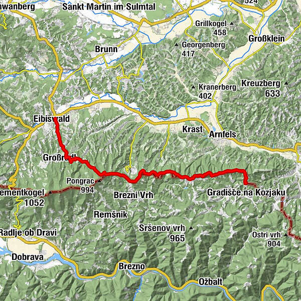
Stage 21 From Glacier to Wine South Route Eibiswald - Remschnigg

Randonnée
© Steiermark Tourismus/Leo Himsl - Leo Himsl

© Steiermark - Das Grüne Herz
© Steiermark Tourismus/Leo Himsl - Leo Himsl

© Günther Steininger
© Steiermark Tourismus/Harry Schiffer - Harry Schiffer
© Günther Steininger
© Steiermark Tourismus/Harry Schiffer - Harry Schiffer

© Steiermark Tourismus/Leo Himsl - Leo Himsl
© Günther Steininger

- Brève description
-
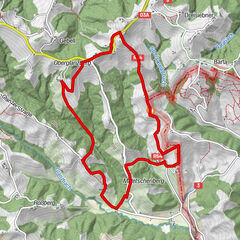
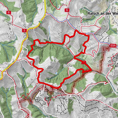
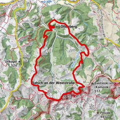
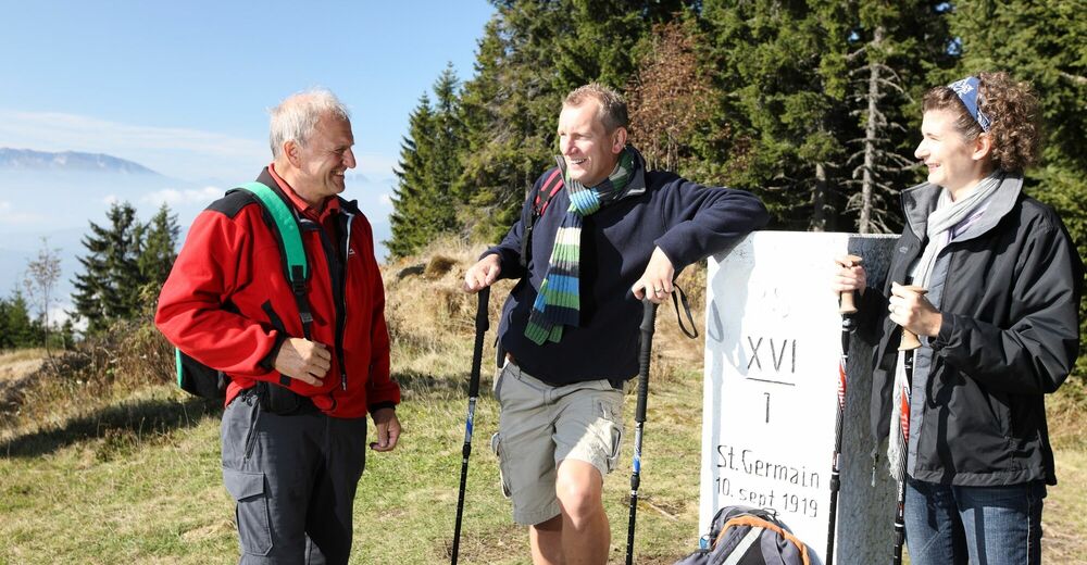
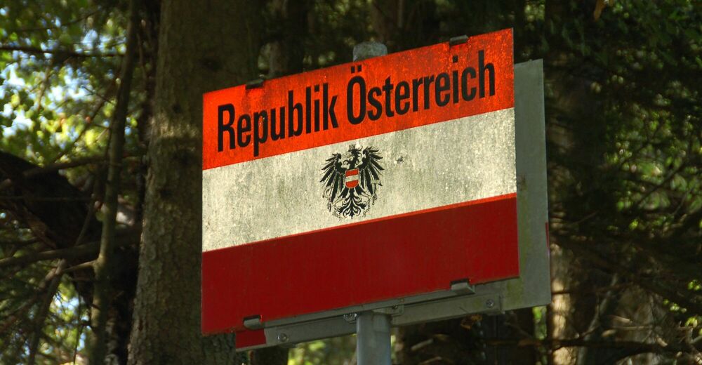
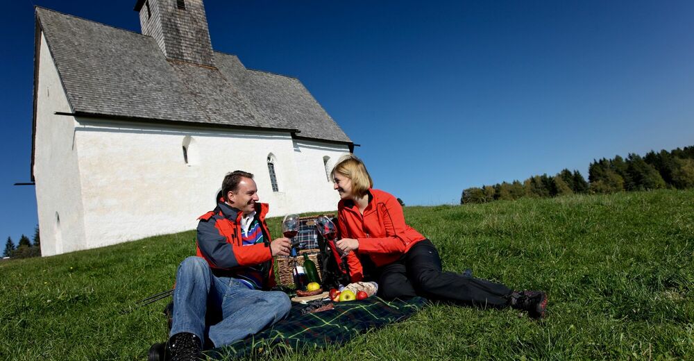
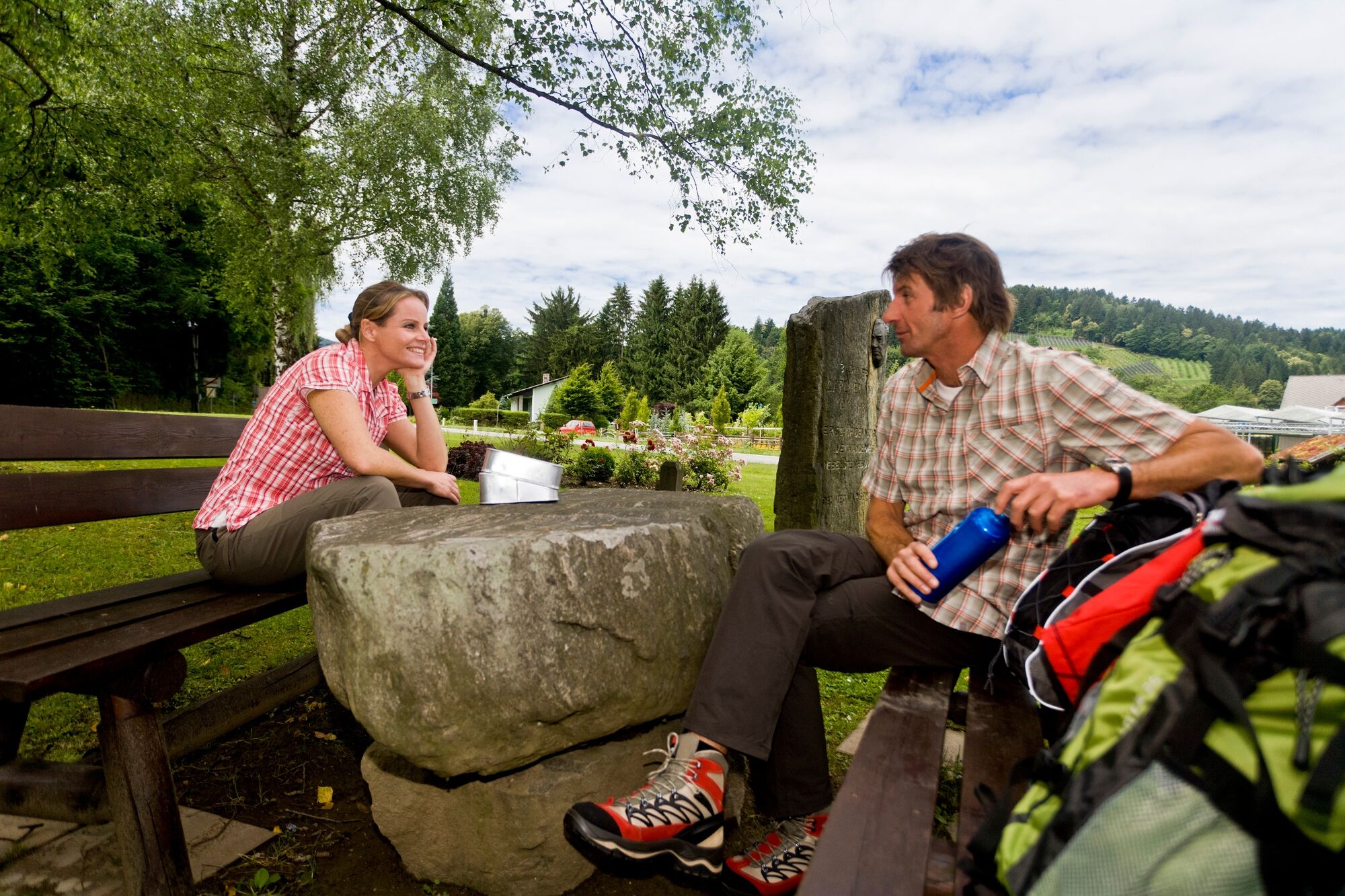
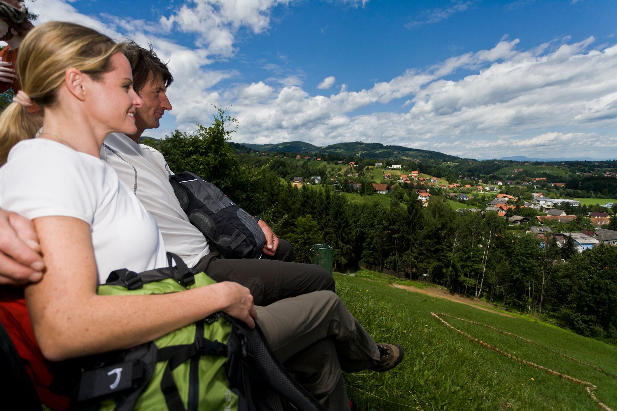
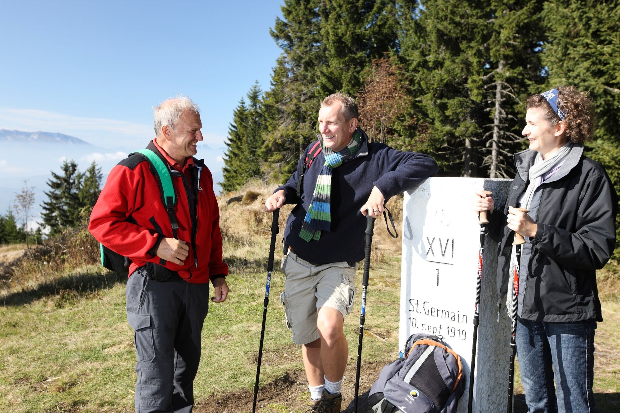
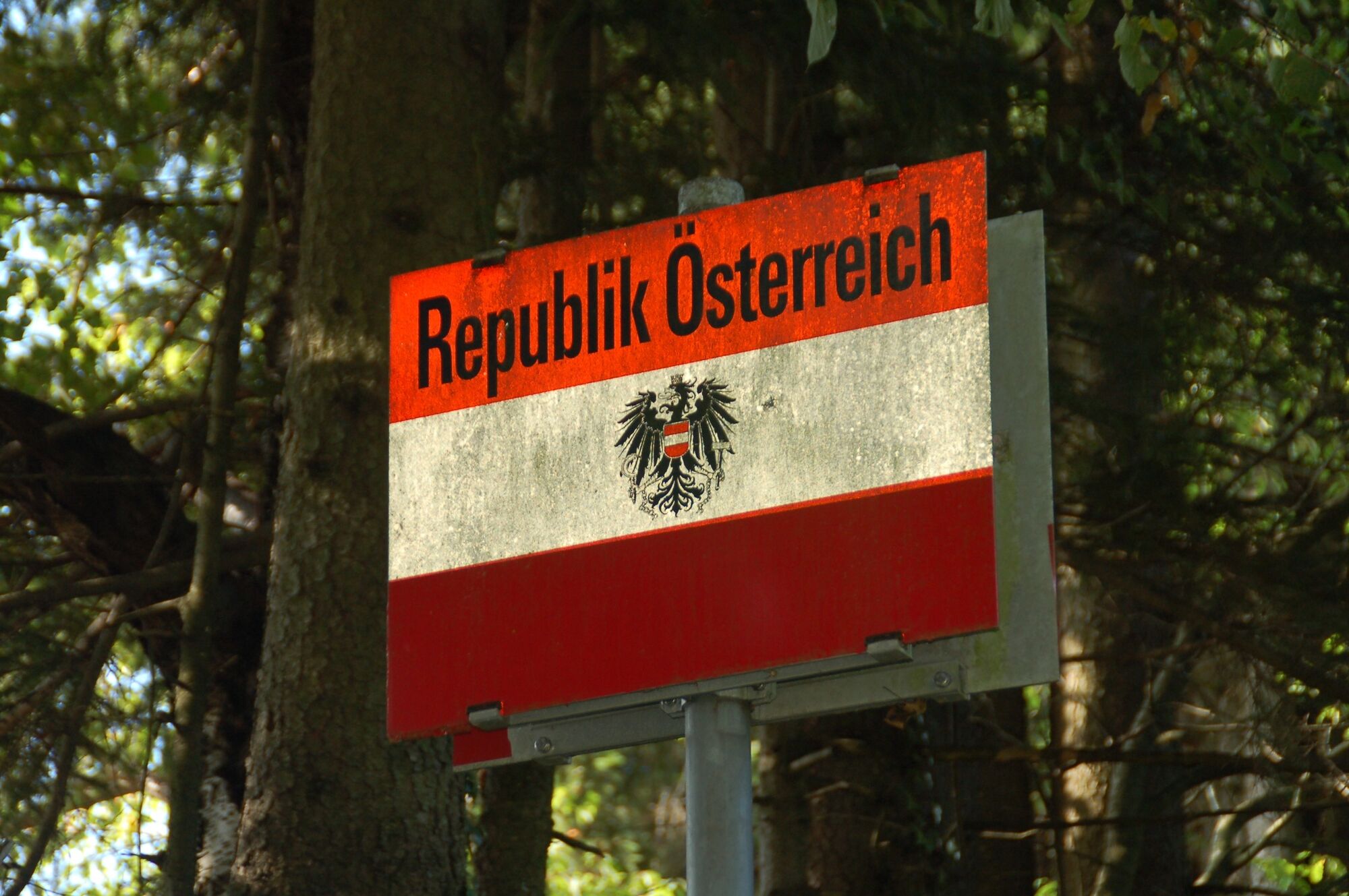
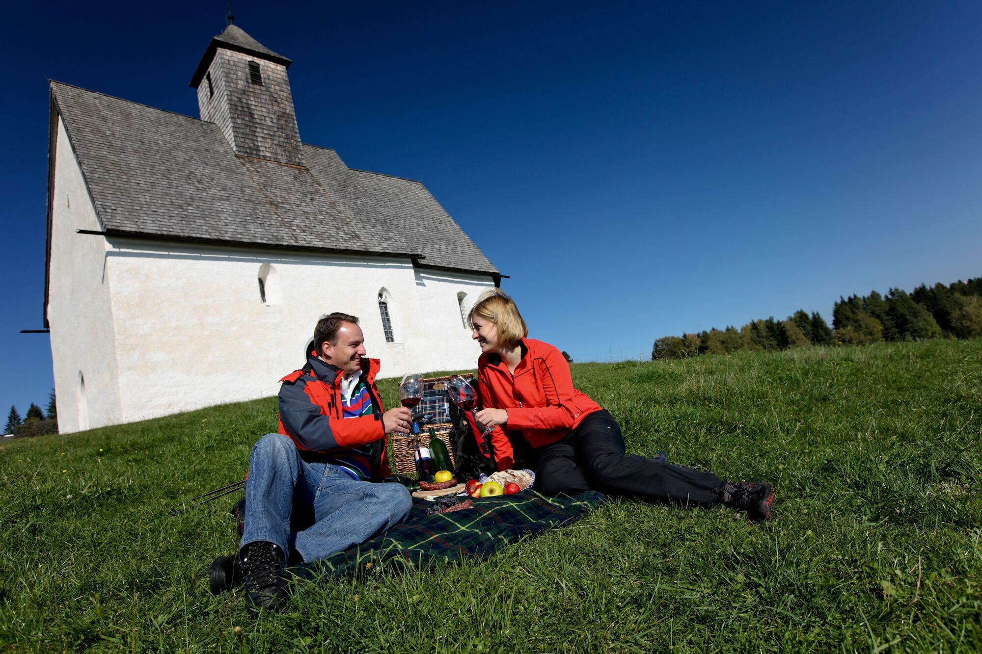
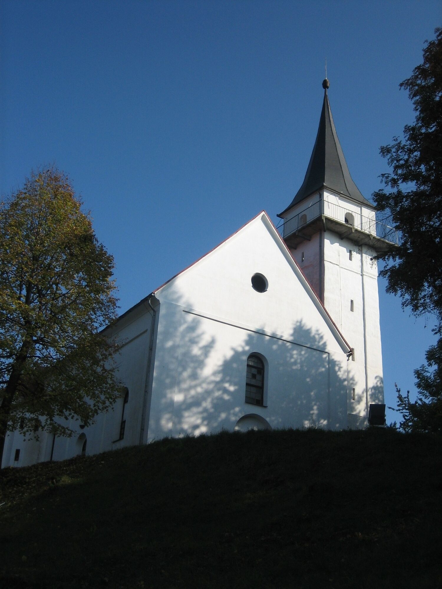
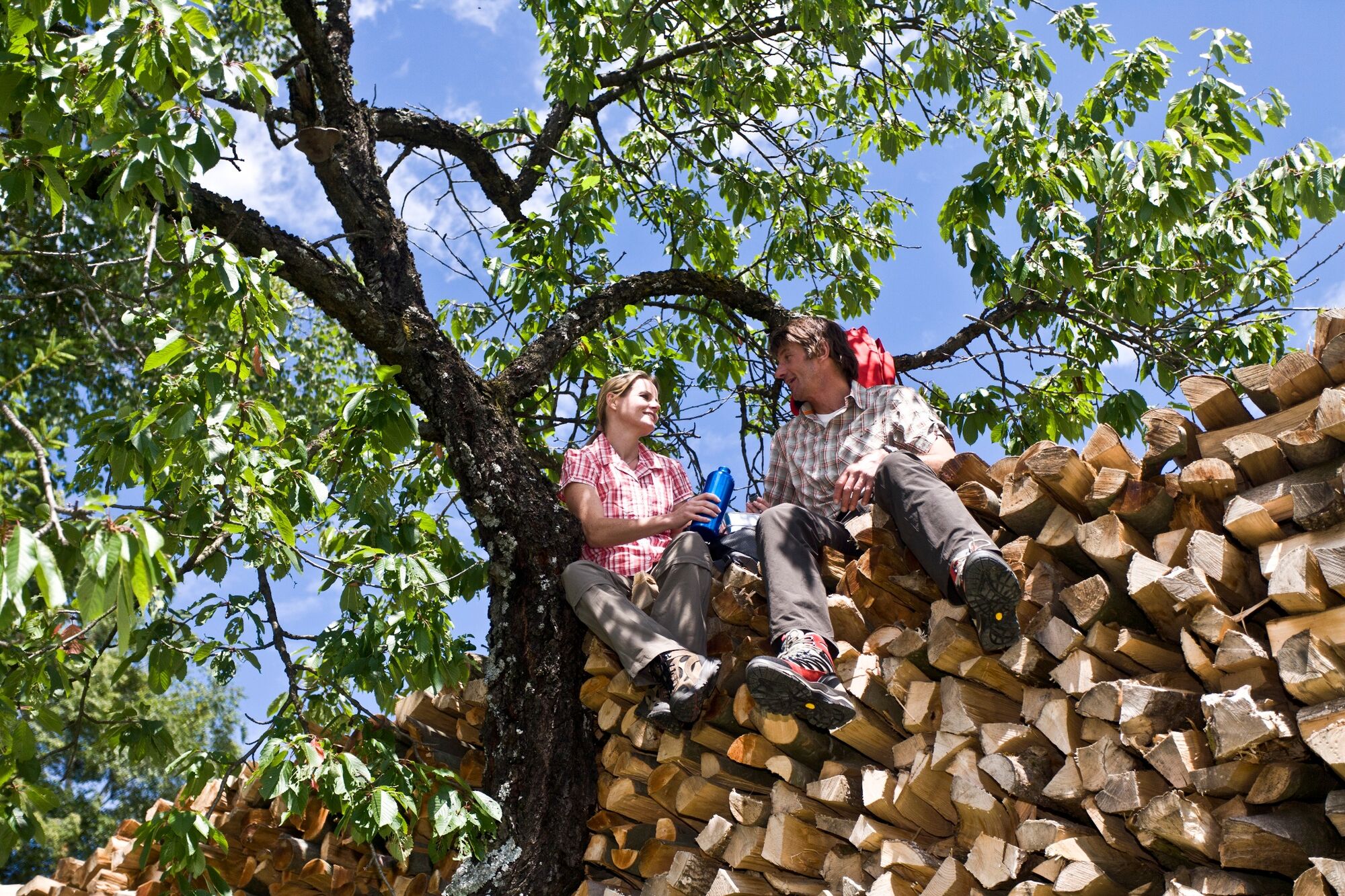
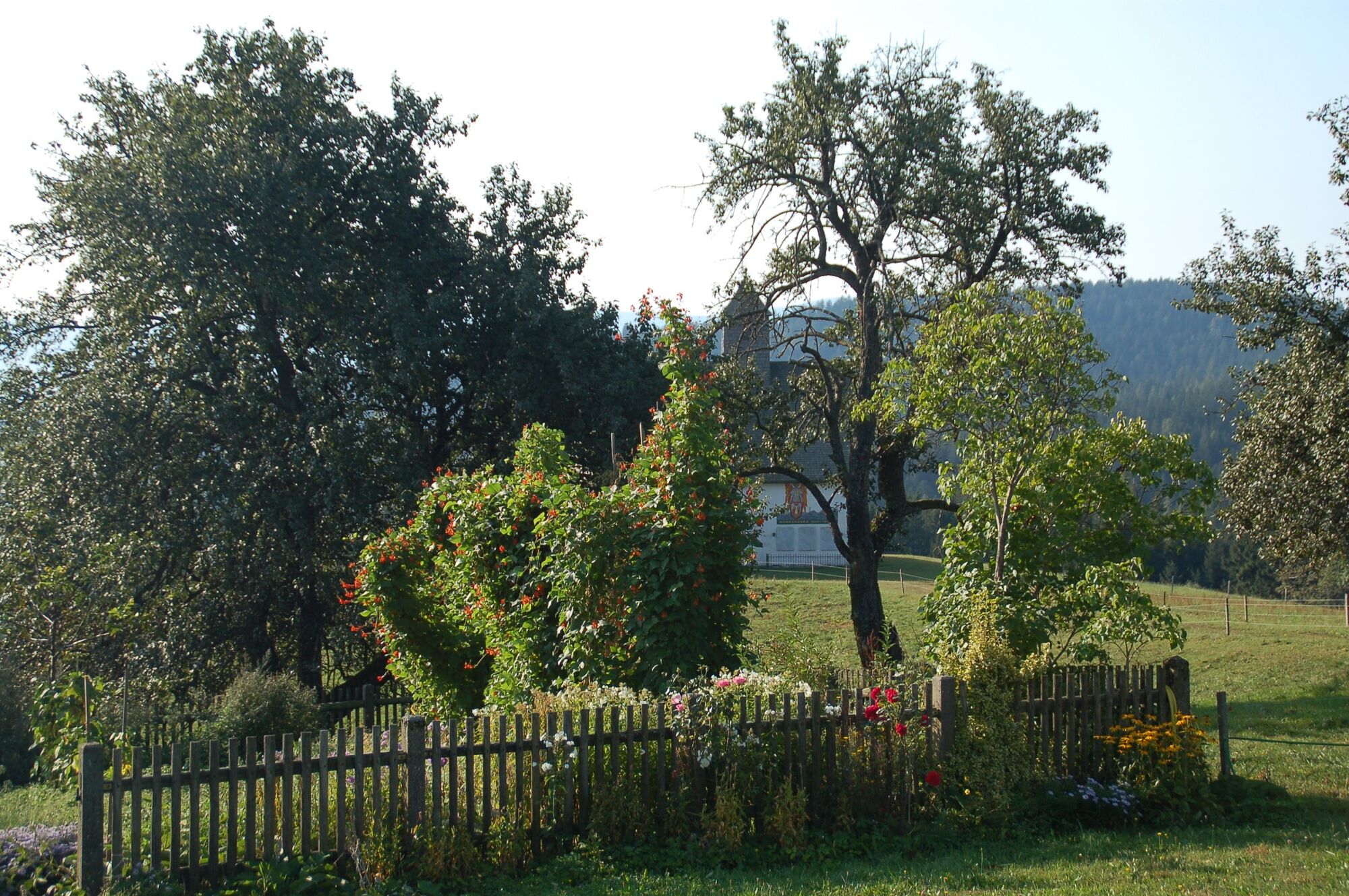
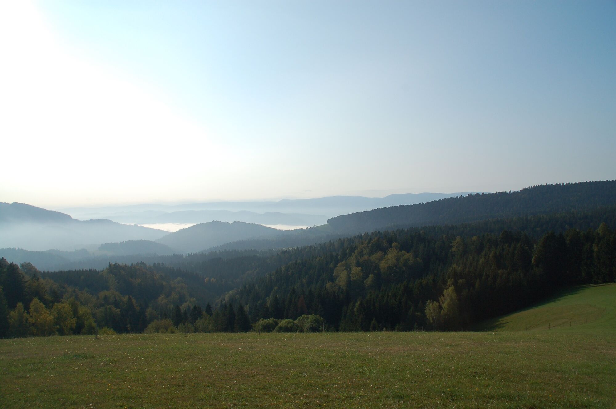
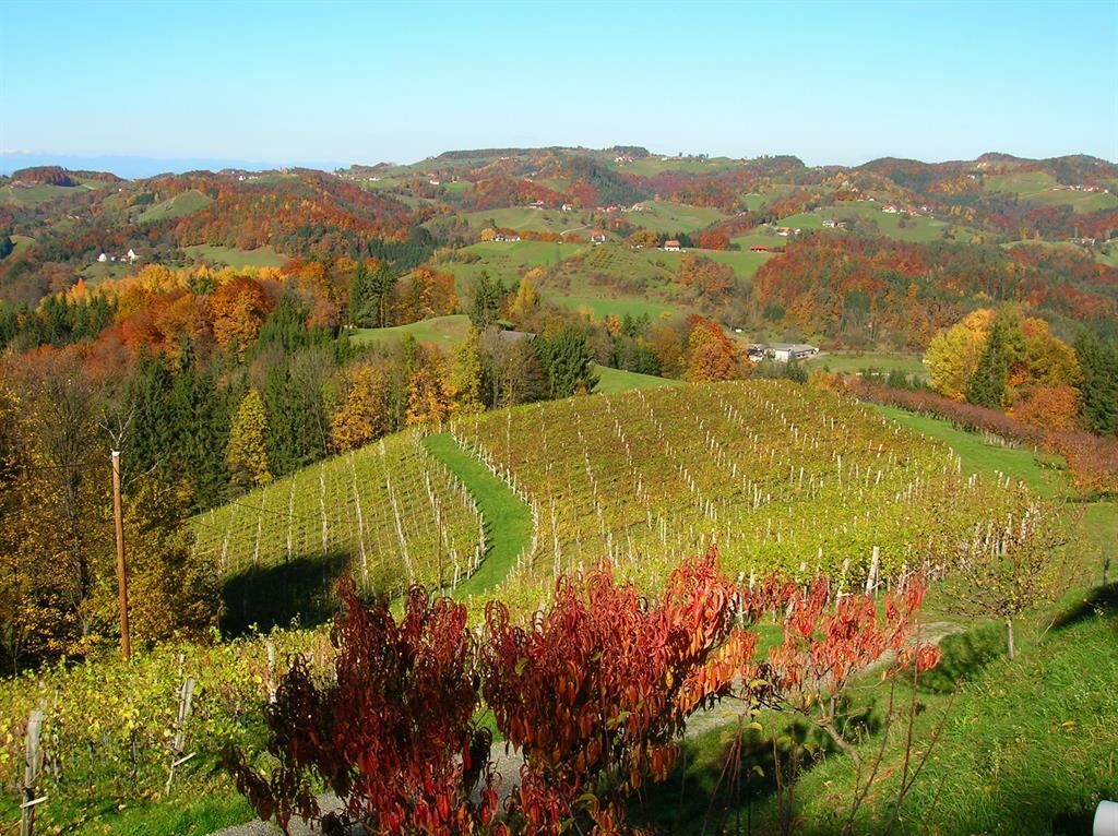
This stage of the hiking route "From Glacier to Wine" leads in the second part on the Border Panorama Trail, which is virtually the main artery of the trail network in the south between Styria and Slovenia. It is also part of the International Long Distance Trail from Sillian to Bad Radkersburg, which in Styria alternates repeatedly between Austria and Slovenia, leading across the alpine pastures and vineyards of the South Styria Nature Park. The view into Styria and Slovenia is particularly beautiful from the Remschniggalm not far from our stage destination.
- Difficulté
-
moyen
- Évaluation
-
- Parcours
-
Pfarrkirche Maria im Dorn0,0 kmHasewend’s Kirchenwirt0,0 kmEibiswald0,2 kmWoch2,9 kmGroßradl3,1 kmSt. Pongratzen (900 m)7,8 kmKogel (781 m)9,8 kmJausenstation Isak14,5 kmTolsti vrh (756 m)15,3 kmRemschnigg Almhütte17,5 kmAlpengasthof Pronintsch19,0 km
- Meilleure saison
-
janv.févr.marsavrilmaijuinjuil.aoûtsept.oct.nov.déc.
- Hauteur maximale
- 905 m
- Point de mire
-
Remschnigg/Scherschenhof
- Profil en hauteur
-


-

-
AuteurLa randonnée Stage 21 From Glacier to Wine South Route Eibiswald - Remschnigg est utilisé par outdooractive.com fourni par.
GPS Downloads


Informations générales
Culturel/Historiquement
Flore
Faune
Prometteur
Autres parcours dans les régions
-
Südsteiermark
1135
-
Schilcherland Steiermark
1100
-
Oberhaag
216