- Brève description
-
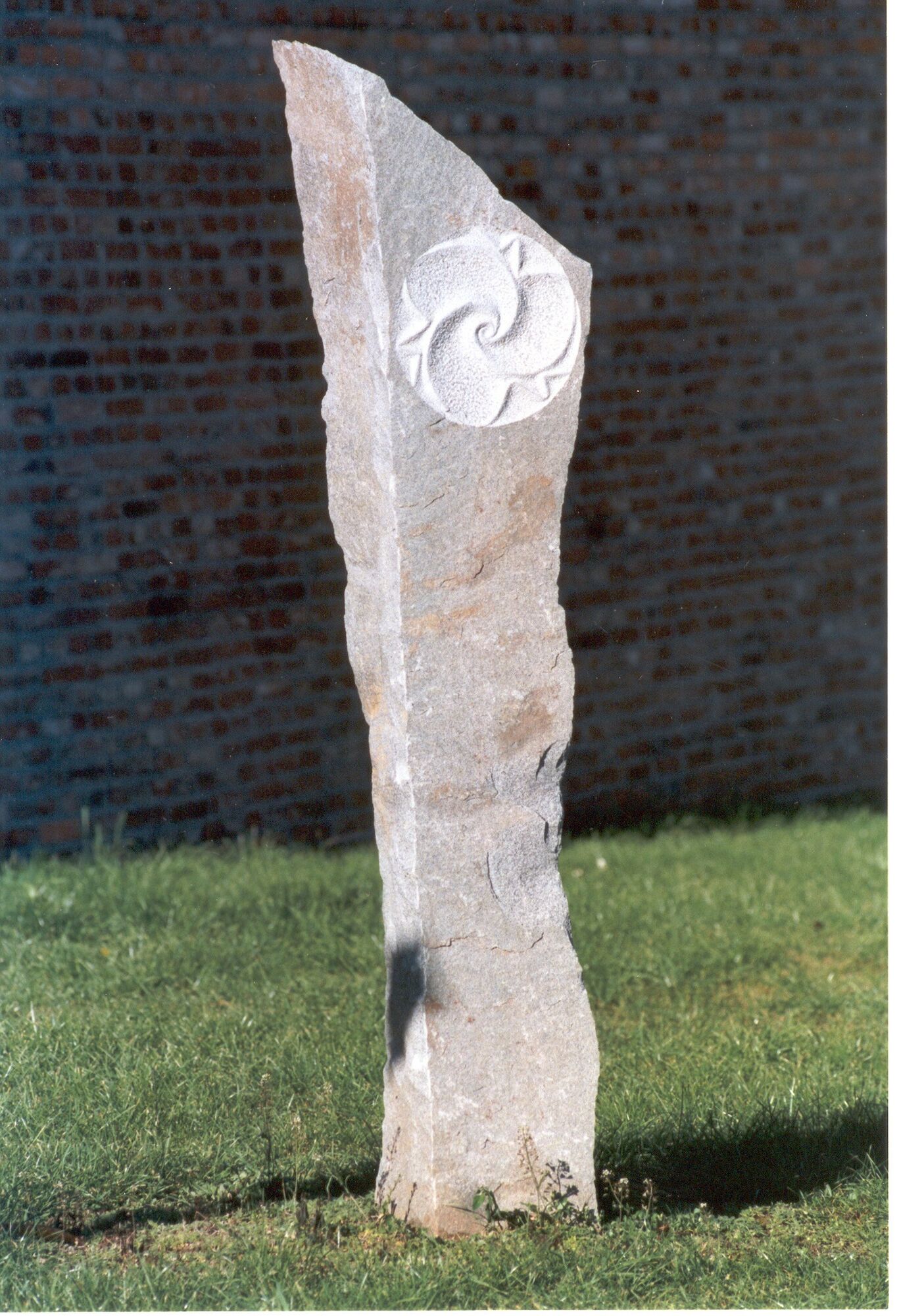
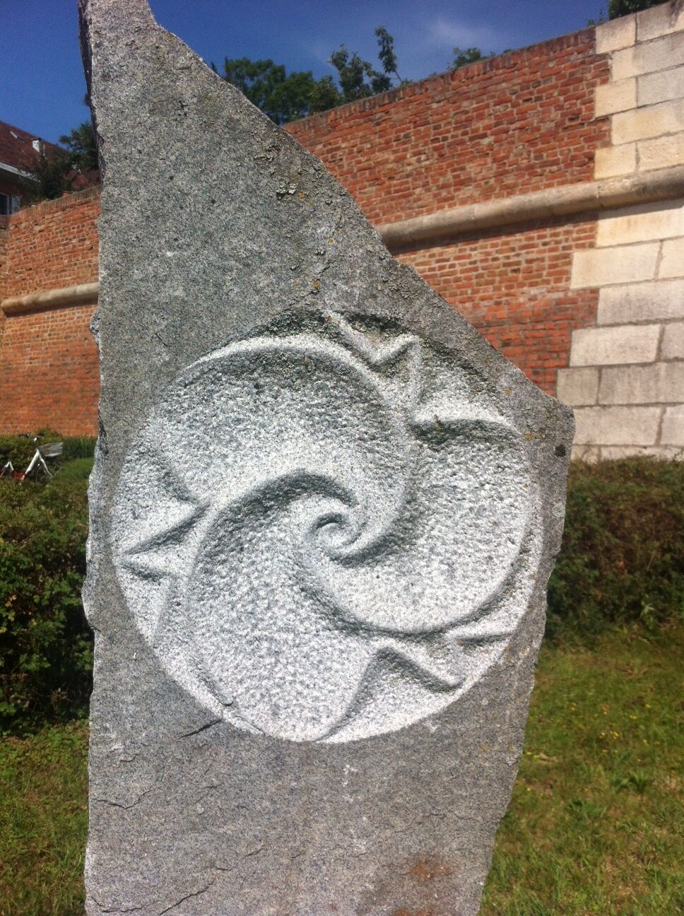
Lithopuncture is a method of ecological healing and balancing developed by Marko Pogacnik. It is related to acupuncture of the human body. "Lithopuncture" means placement and precise alignment of stone pillars on the power paths or power points of the landscape.
- Difficulté
-
facile
- Évaluation
-
- Parcours
-
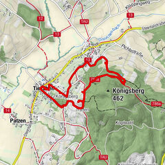
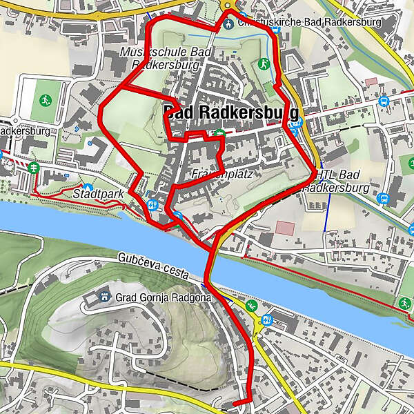
Christuskirche Bad Radkersburg1,1 kmOberradkersburg2,6 kmFrauenkirche3,8 kmBad Radkersburg3,9 kmStadtpfarrkirche Bad Radkersburg4,2 km
- Meilleure saison
-
janv.févr.marsavrilmaijuinjuil.aoûtsept.oct.nov.déc.
- Hauteur maximale
- 215 m
- Point de mire
-
Thermal spring building
- Profil en hauteur
-


- Auteur
-
La randonnée Lithopuncture path (Lithopunkturweg) est utilisé par outdooractive.com fourni par.
GPS Downloads


Informations générales
Point de rassemblement
Culturel/Historiquement
Secret
Prometteur
Autres parcours dans les régions
-
Südsteiermark
1132
-
Region Bad Radkersburg
216
-
Bad Radkersburg
30