© TV Gesäuse - Tourismusverband Gesäuse

© TV Gesäuse - Tourismusverband Gesäuse

© TV Gesäuse - Tourismusverband Gesäuse

© TV Gesäuse - Tourismusverband Gesäuse

© TV Gesäuse - Tourismusverband Gesäuse

© TV Gesäuse - Tourismusverband Gesäuse

© TV Gesäuse - Tourismusverband Gesäuse

© TV Gesäuse - Tourismusverband Gesäuse

© TV Gesäuse - Tourismusverband Gesäuse

© TV Gesäuse - Tourismusverband Gesäuse


- Brève description
-
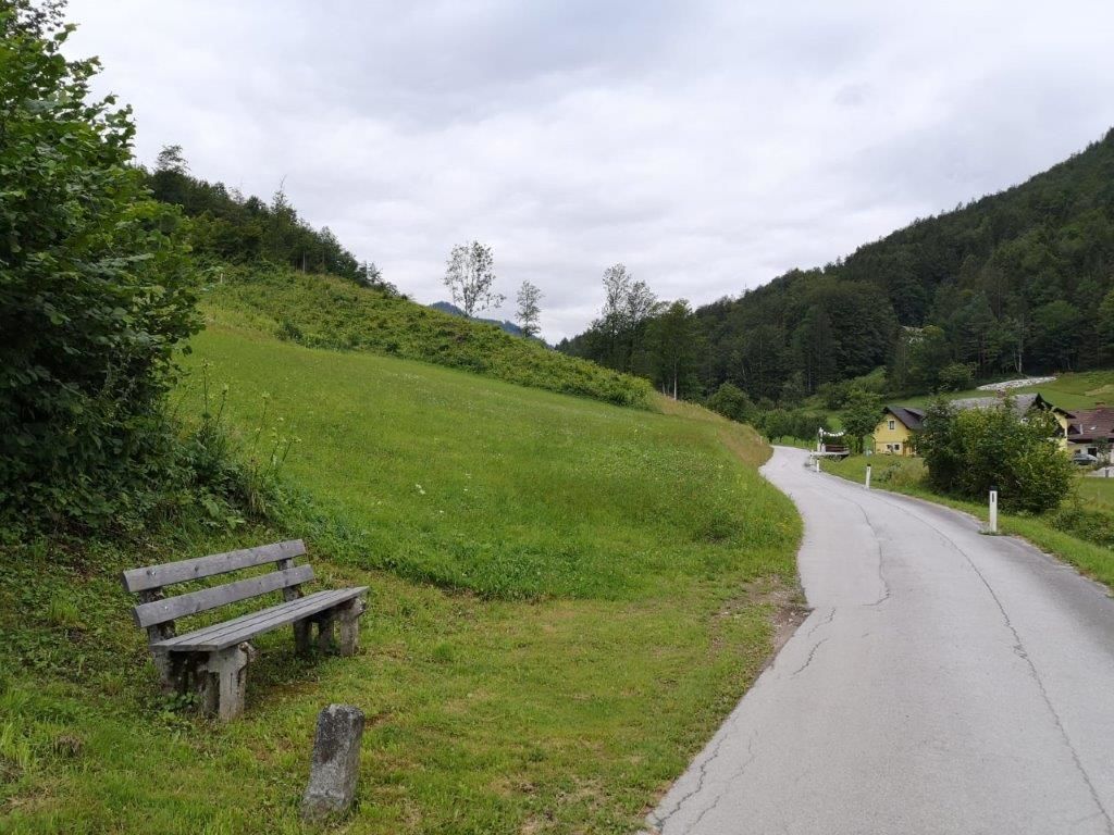
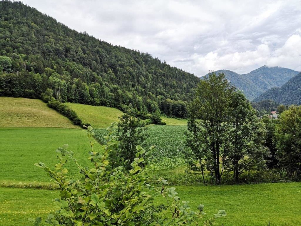
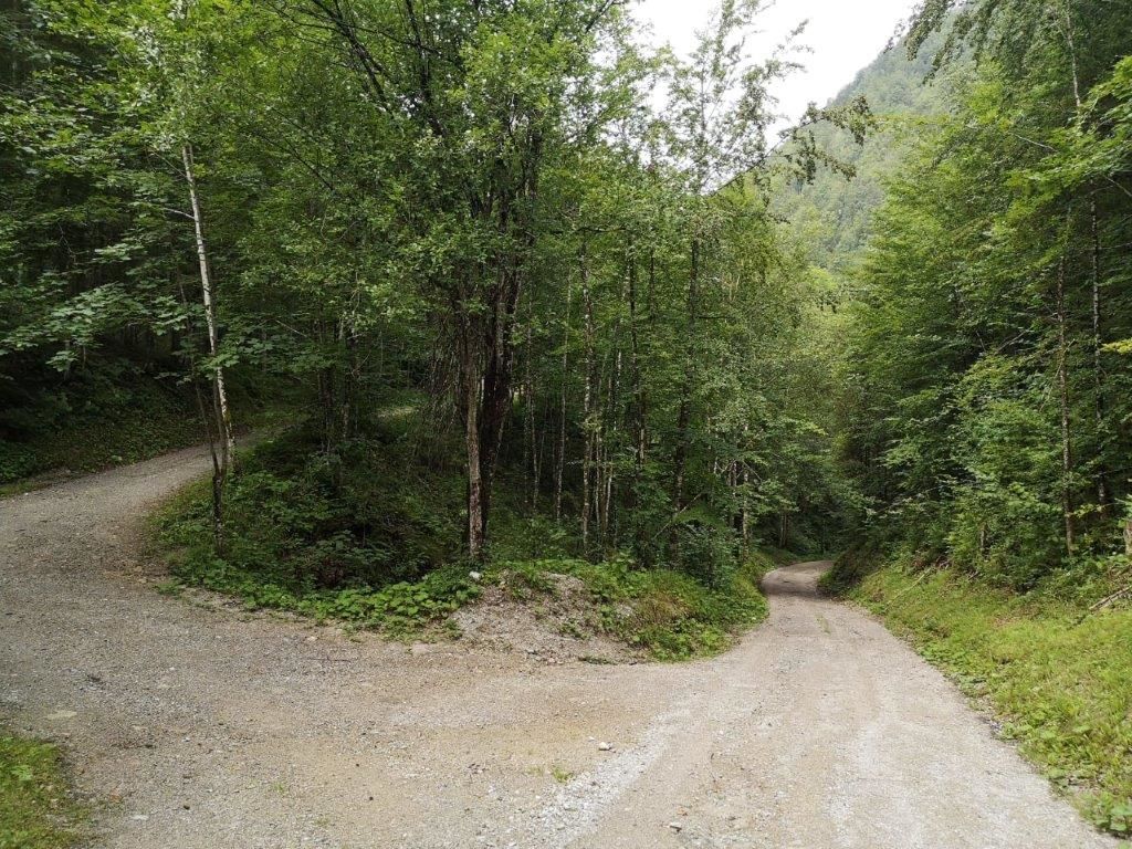
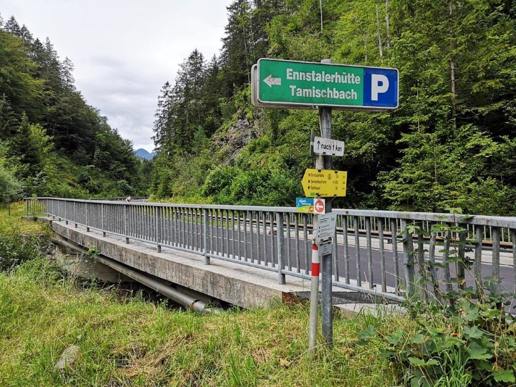
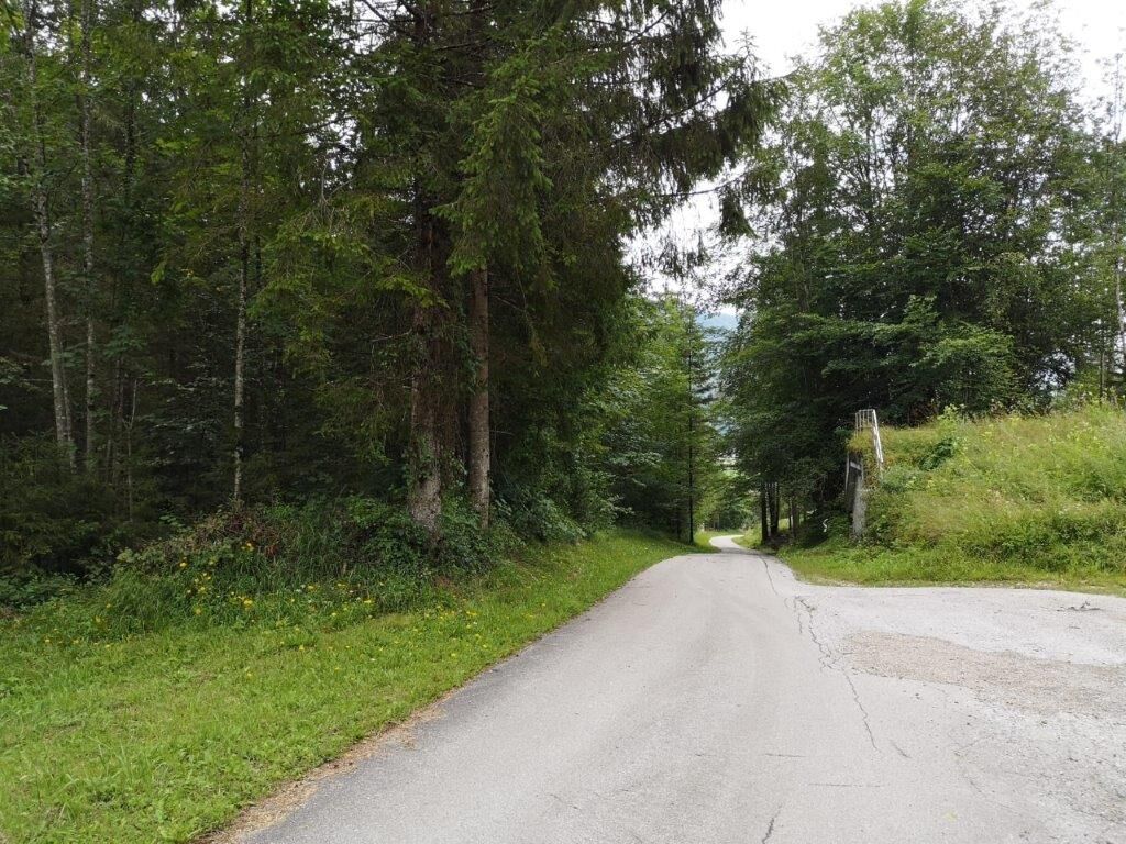
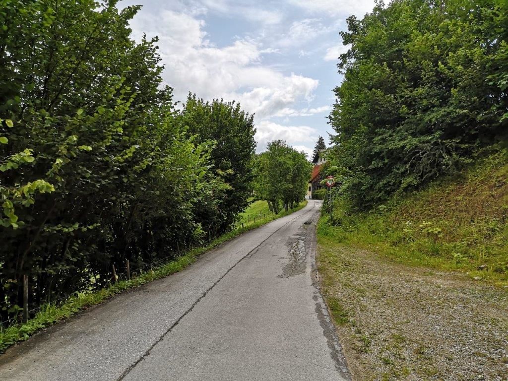
The Landler Walk #10 is easy to walk and the gradient is about easy to moderate. You should use sturdy shoes and the walking time is about 1 hour. The trail is also suitable for families.
- Difficulté
-
moyen
- Évaluation
-
- Parcours
-
Pfarrkirche hl. Bartholomäus0,0 kmKirchenlandl0,0 kmÜbergang (626 m)1,2 kmÜbergang (626 m)5,7 kmKirchenlandl6,9 kmPfarrkirche hl. Bartholomäus6,9 km
- Meilleure saison
-
janv.févr.marsavrilmaijuinjuil.aoûtsept.oct.nov.déc.
- Hauteur maximale
- 628 m
- Point de mire
-
Church in Kirchenlandl
- Profil en hauteur
-


-

-
AuteurLa randonnée Landler Country walk #10 est utilisé par outdooractive.com fourni par.
GPS Downloads


Informations générales
Point de rassemblement
")

 & Kaiserschild (rechts)")