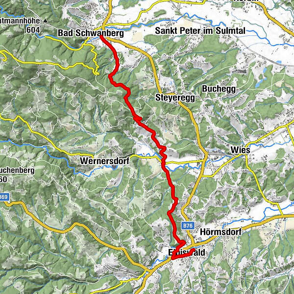
Stage 20 From Glacier to Wine South Route Bad Schwanberg - Eibiswald

Randonnée

© Steiermark Tourismus/Leo Himsl - Leo Himsl

© Steiermark - Das Grüne Herz

© Südsteiermark - Brigitte Kügerl

© Steiermark Tourismus/Reinhard Lamm - Reinhard Lamm

© Steiermark Tourismus/Leo Himsl - Leo Himsl

© Steiermark Tourismus/Gery Wolf - Gery Wolf

© Steiermark Tourismus/Leo Himsl - Leo Himsl

© Steiermark Tourismus/Leo Himsl - Leo Himsl

- Brève description
-
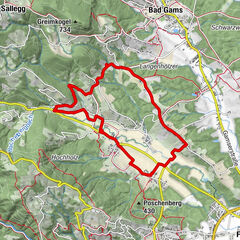
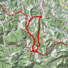
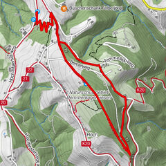
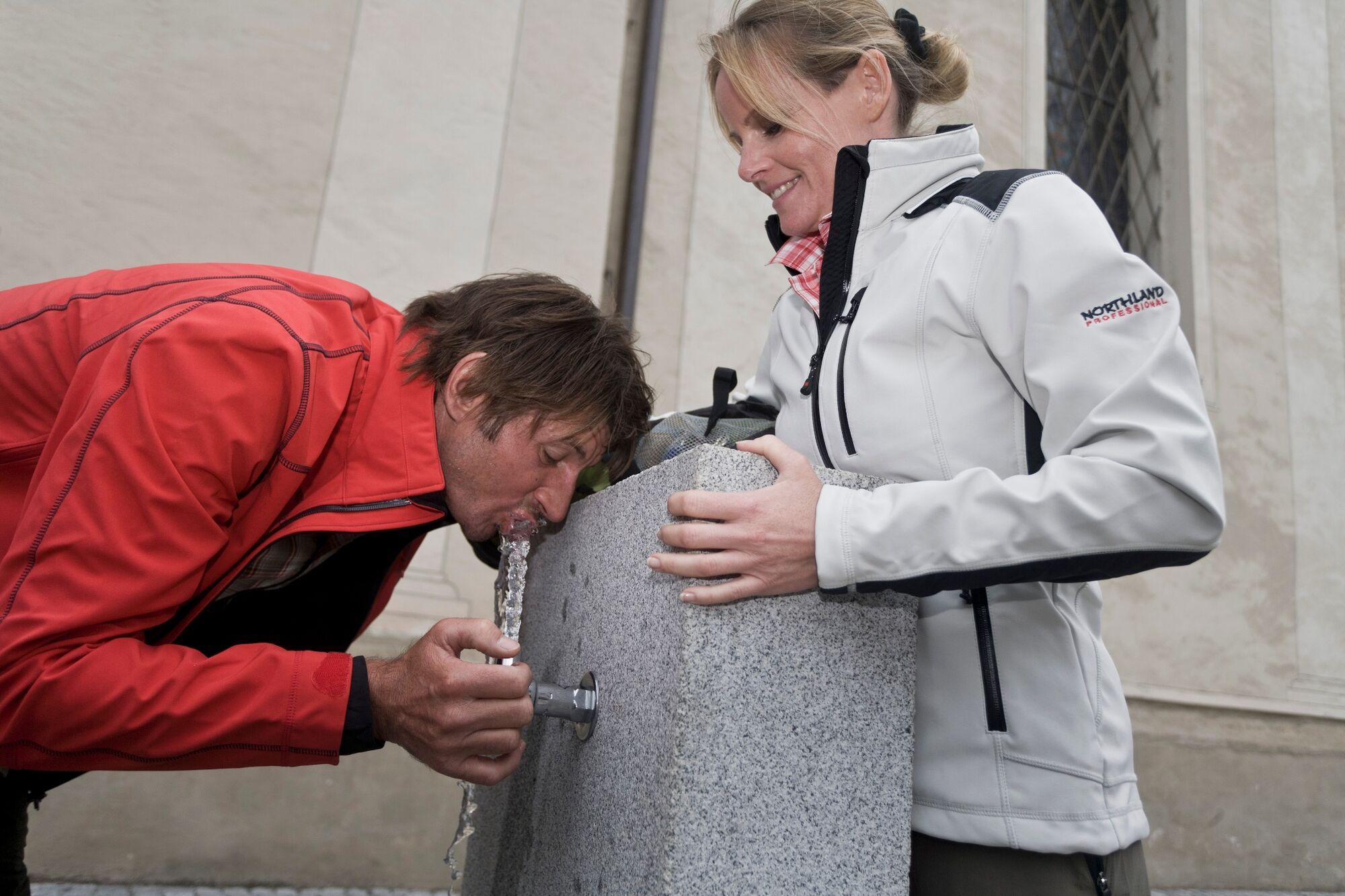
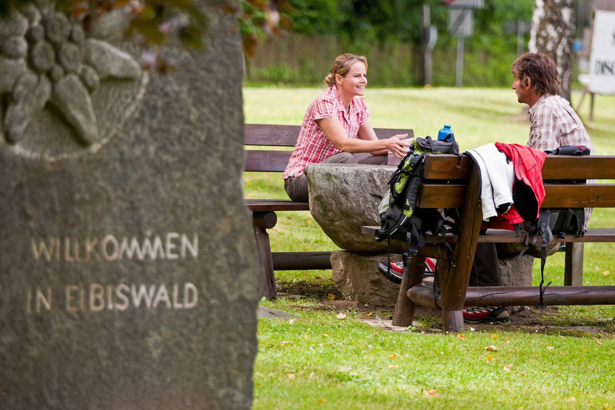
A beautiful scenic stage of the hiking route "From glacier to wine" right through the Schilcherland. The destination of the tour is Eibiswald, the long-distance hiking hub of Austria. No less than 3 long-distance hiking trails of the Alpine Club - the Mariazell Trail 06, the Southern Alpine Trail 03 and the North-South Long-Distance Trail 05 - as well as the European Long-Distance Trail E06, which leads from the Baltic Sea to the Aegean Sea, meet here.
- Difficulté
-
facile
- Évaluation
-
- Parcours
-
Bad SchwanbergSchwanbergerstüberl0,1 kmOberkraß5,2 kmUnterkraß6,0 kmGasthof Polz6,7 kmVordersdorf6,8 kmKreuzkirche10,9 kmPizzeria & Kebaphaus MEMO11,1 kmEibiswald11,4 kmHasewend’s Kirchenwirt11,7 kmPfarrkirche Maria im Dorn11,8 km
- Meilleure saison
-
janv.févr.marsavrilmaijuinjuil.aoûtsept.oct.nov.déc.
- Hauteur maximale
- 597 m
- Point de mire
-
Eibiswald
- Profil en hauteur
-


-

-
AuteurLa randonnée Stage 20 From Glacier to Wine South Route Bad Schwanberg - Eibiswald est utilisé par outdooractive.com fourni par.
GPS Downloads


Informations générales
Point de rassemblement
Culturel/Historiquement
Flore
Faune
Prometteur
Autres parcours dans les régions
-
Südsteiermark
1135
-
Schilcherland Steiermark
1100
-
Eibiswald
114