Stage 17 From Glacier to Wine South Route Pack - Weinebene

Randonnée
© (c) Steiermark Tourismus/Harry Schiffer - Harry Schiffer

© Steiermark - Das Grüne Herz

© (c) Steiermark Tourismus/Harry Schiffer - Harry Schiffer

© Smac GmbH

© (c) Steiermark Tourismus/Harry Schiffer - Harry Schiffer

© TV Steirische Rucksackdörfer/Schmid - Steirische Rucksackdörfer

© Wolfsberg - Schober Erich

© (c) Steiermark Tourismus/ Günther Steininger - Günther Steininger

© Smac GmbH

© Werbeagentur SMAC - Sven Raters

- Brève description
-
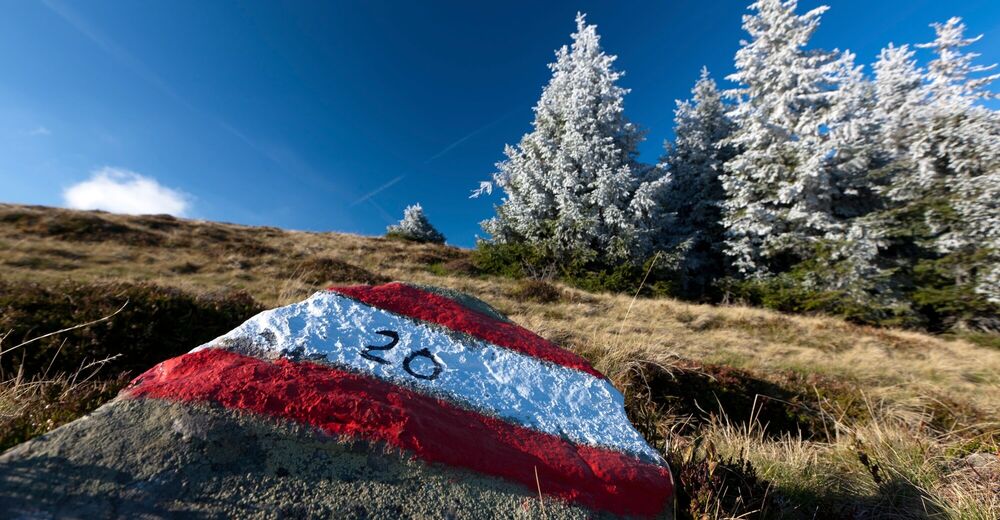
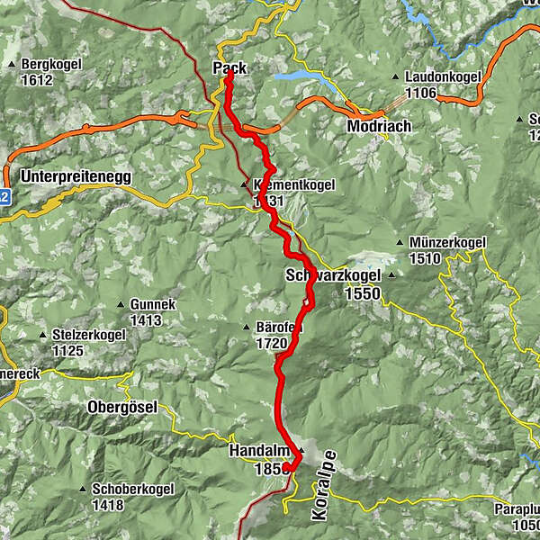
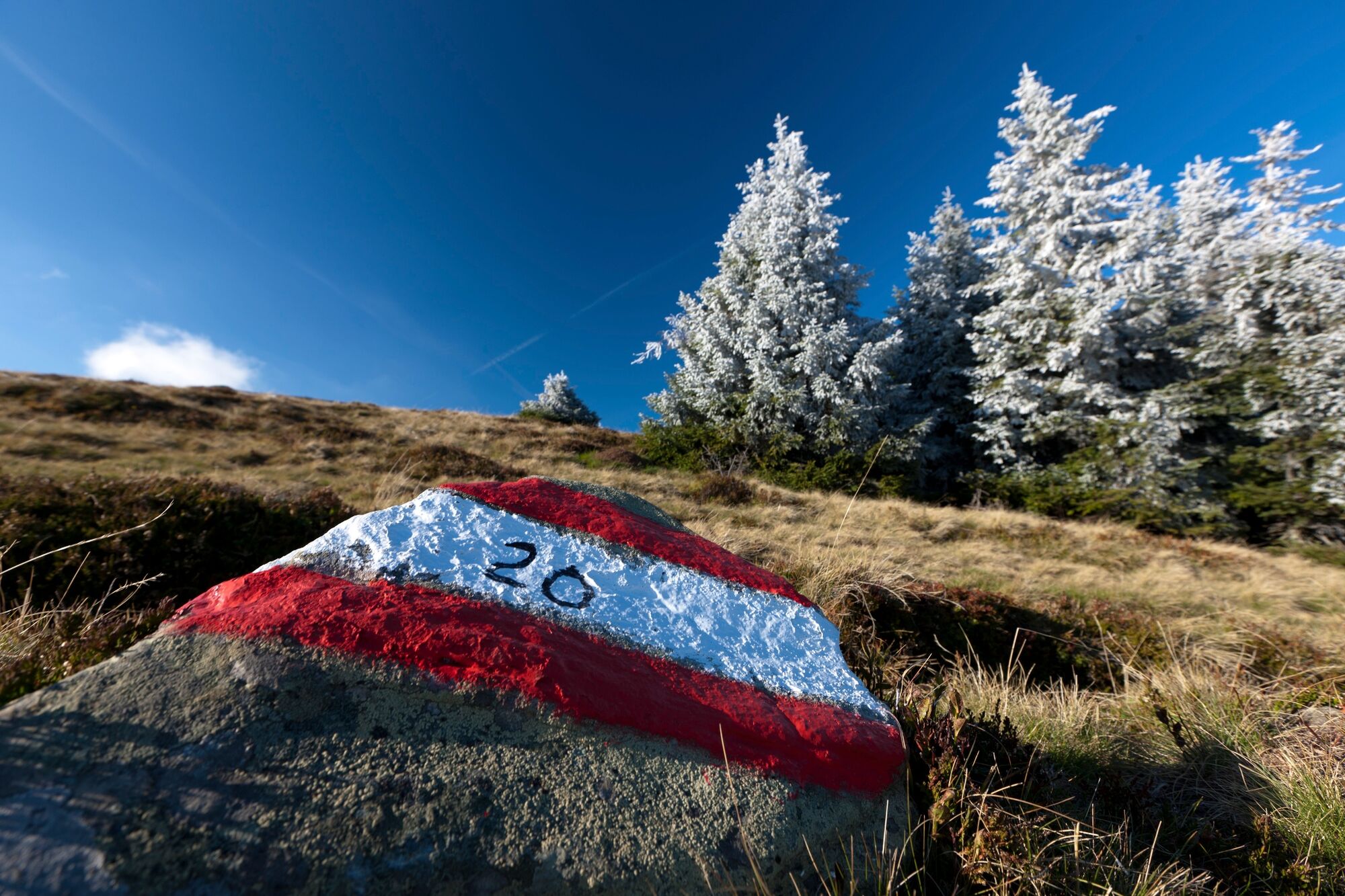
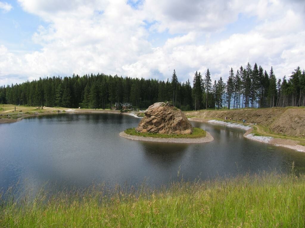
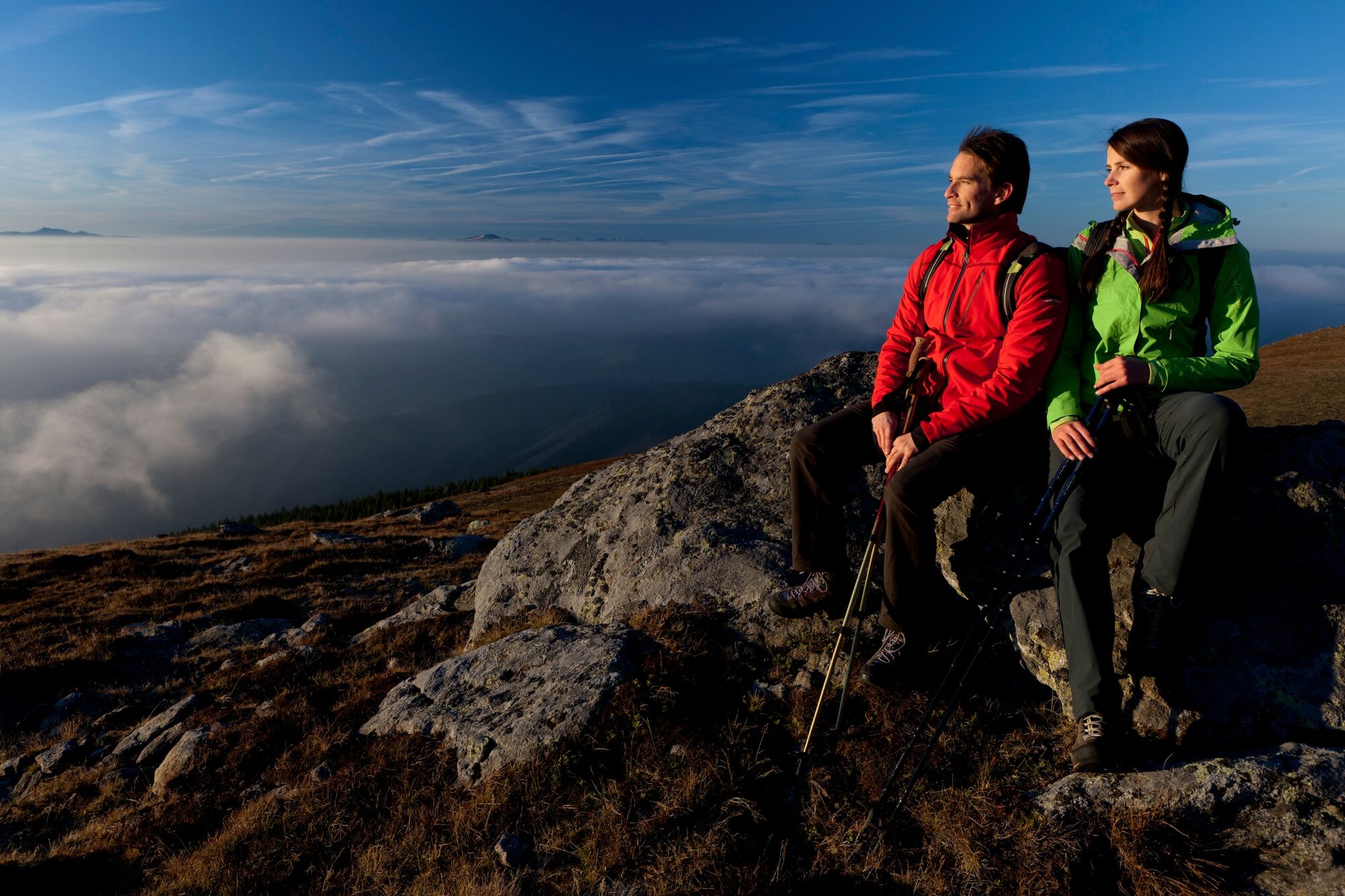
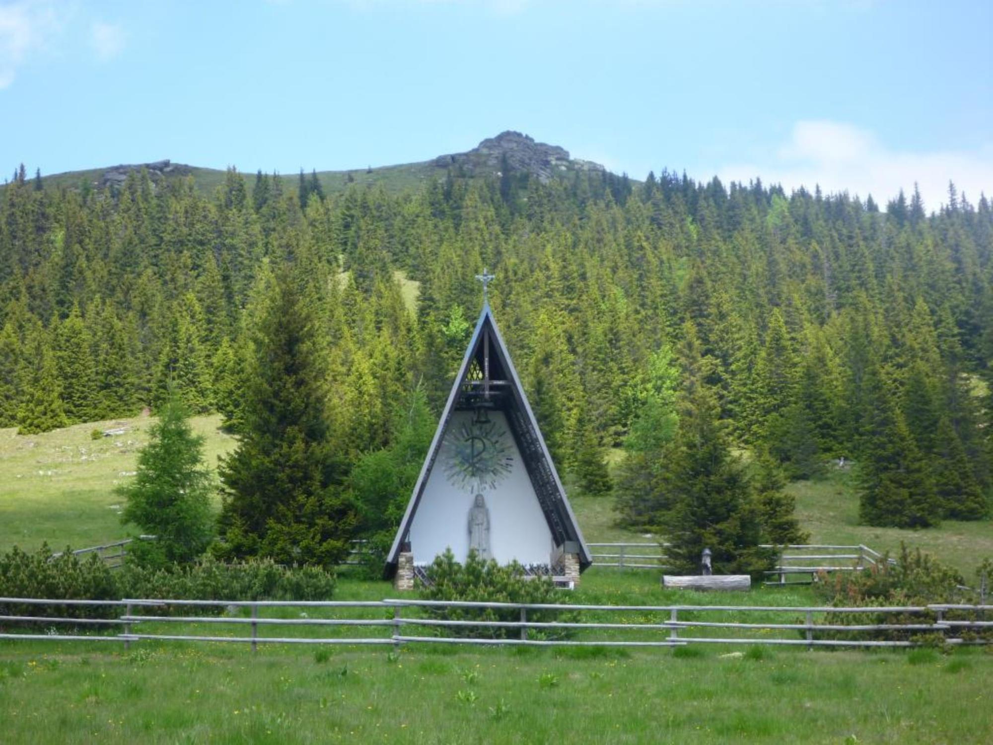
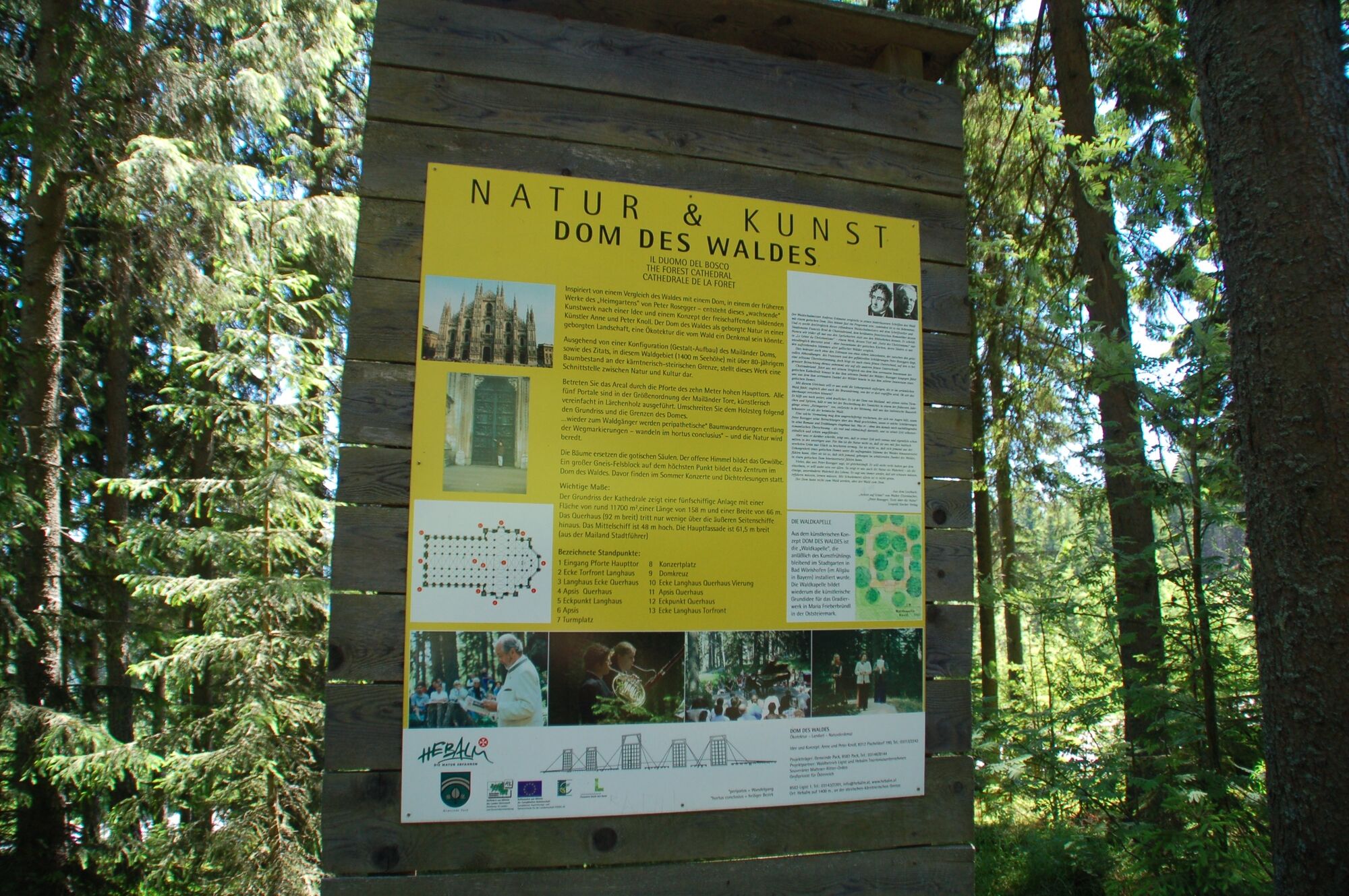
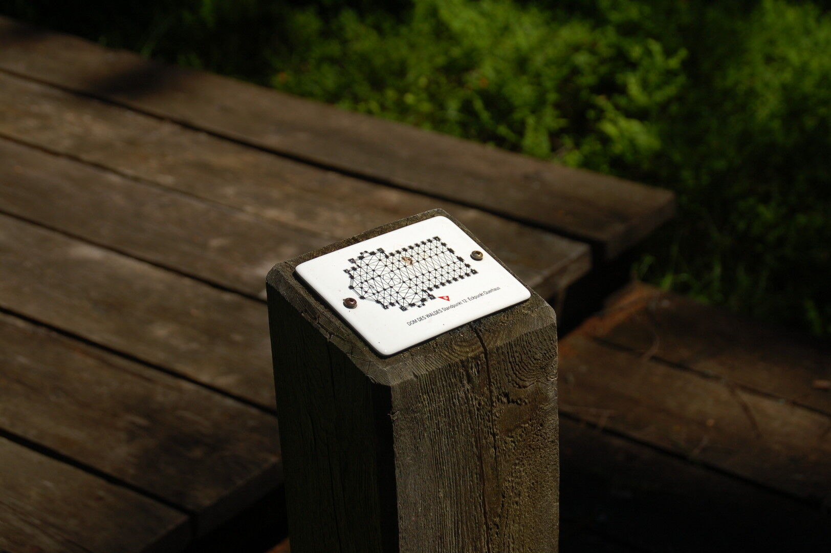
This stage of the hiking route "From glacier to wine" takes us from the village of Pack to the lofty heights of the wine plain. On this section, which is also known as the Koralm Kristall Trail, there are comfortable ascents and descents that lead us past witnesses of an exciting geological development. Therefore, the Koralm Kristall Trail was also included in the circle of Via GeoAlpina trails in 2009.
- Difficulté
-
moyen
- Évaluation
-
- Parcours
-
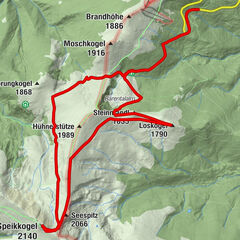
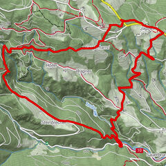
PackPfarrkirche hl. Martin0,0 kmFichtenhof und Hebalmranch7,0 kmWildbachsattel (1.605 m)15,7 kmWeberkogel (1.805 m)16,8 kmPauluskapelle19,2 kmGösler Hütte19,8 km
- Meilleure saison
-
janv.févr.marsavrilmaijuinjuil.aoûtsept.oct.nov.déc.
- Hauteur maximale
- 1.825 m
- Point de mire
-
Weinebene
- Profil en hauteur
-


-

-
AuteurLa randonnée Stage 17 From Glacier to Wine South Route Pack - Weinebene est utilisé par outdooractive.com fourni par.
GPS Downloads


Informations générales
Point de rassemblement
Flore
Prometteur
Autres parcours dans les régions
-
Erlebnisregion Graz
2783
-
Lavanttal
610
-
Modriach
247