© Tourismusverband Region Murau - Tom Lamm

© Tourismusverband Region Murau - ikarus.cc

© Tourismusverband Region Murau - ikarus.cc

© Tourismusverband Region Murau - ikarus.cc

- Brève description
-
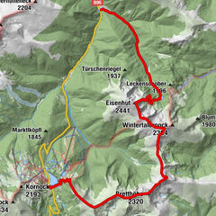
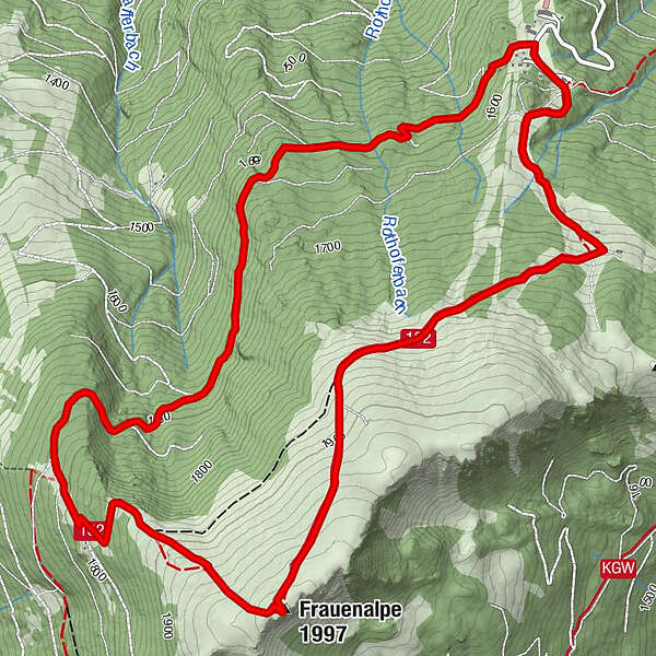
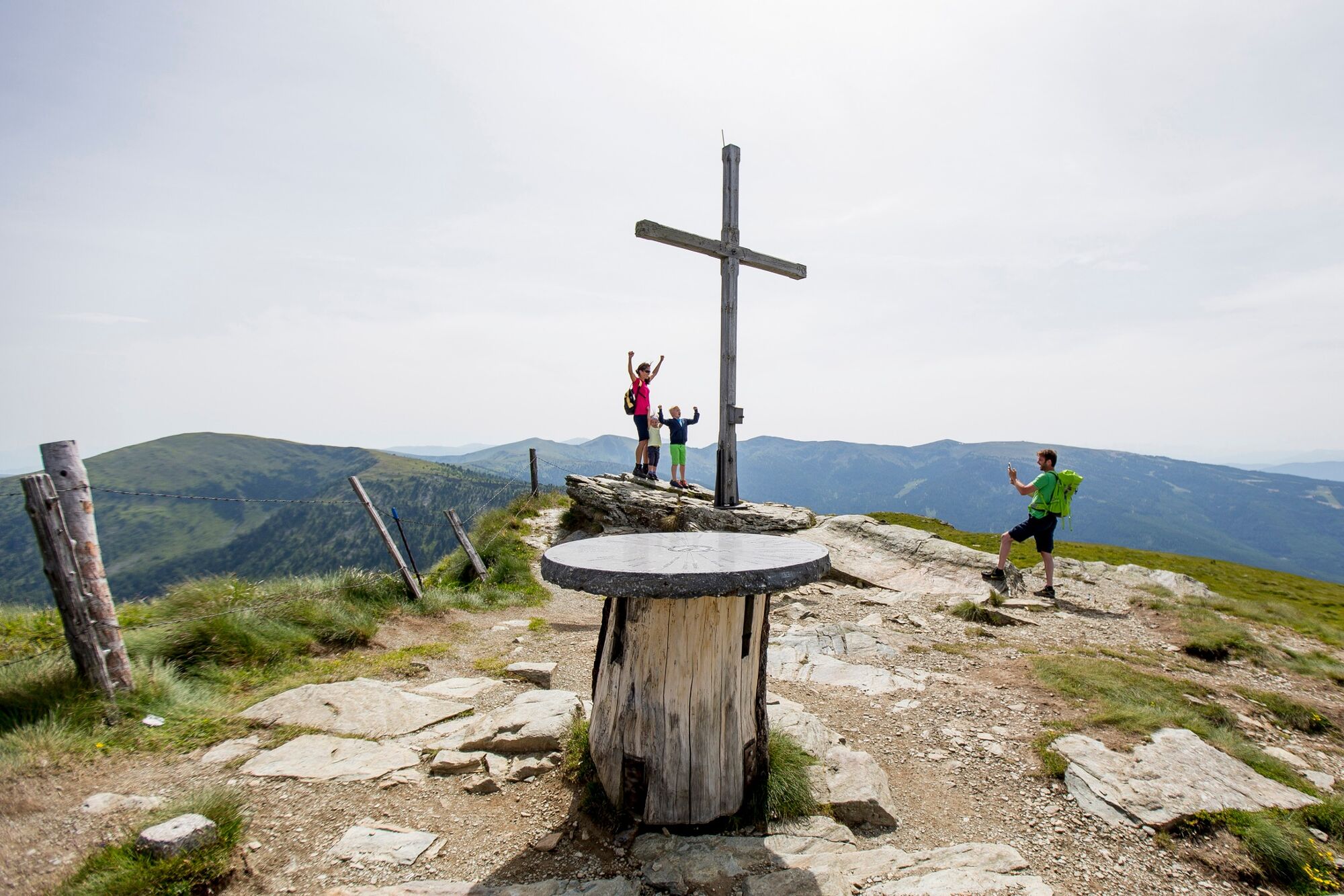
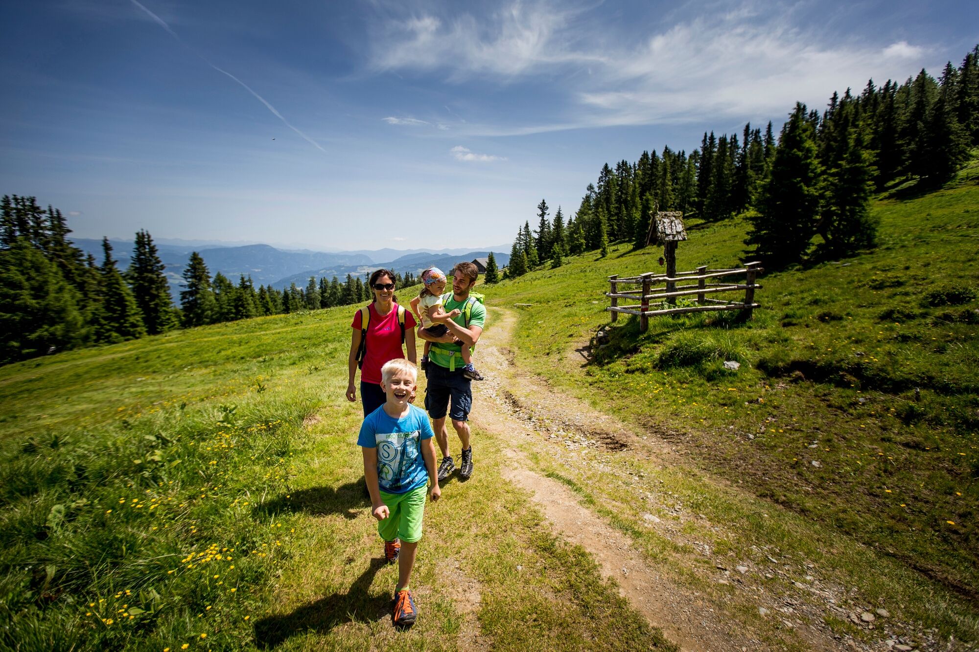
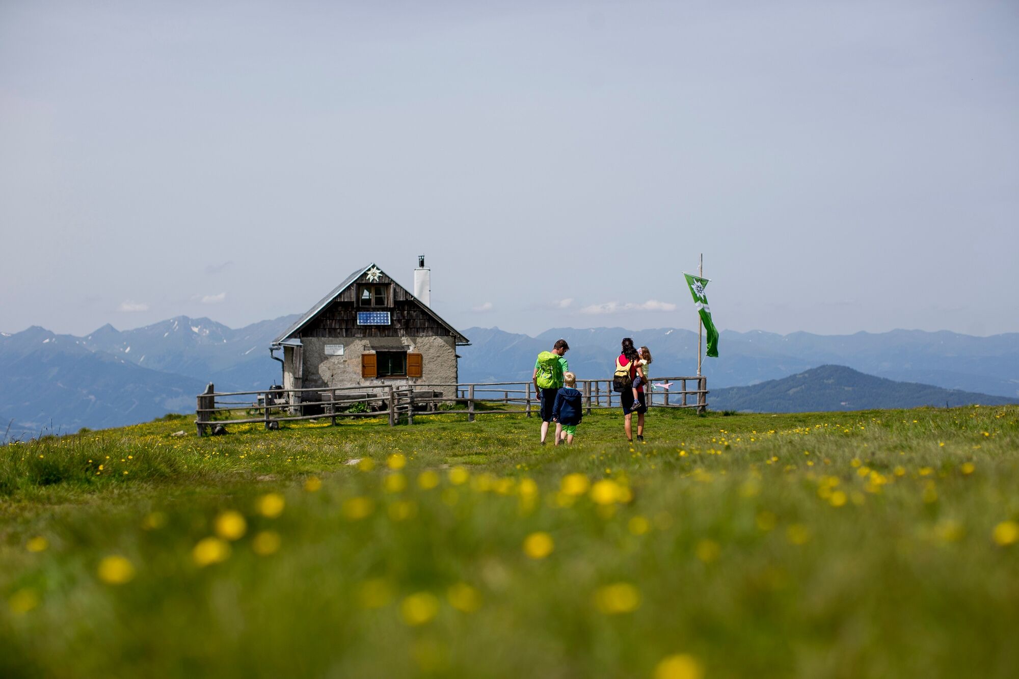
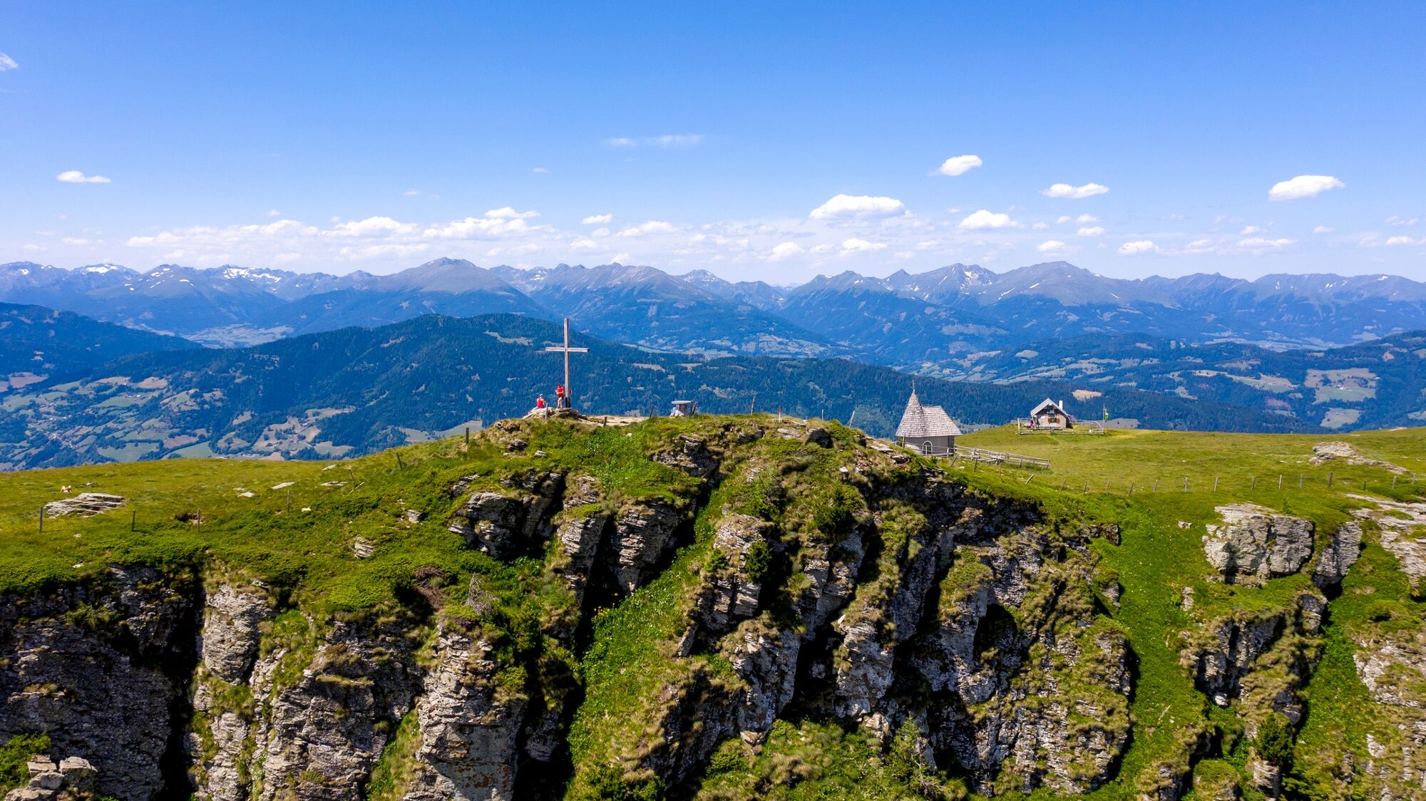
Starting from the Murauer Hut, the beautiful hike begins through the forest area over the Frauenalpen summit back to the starting point.
- Difficulté
-
moyen
- Évaluation
-
- Parcours
-
Murauer Hütte0,0 kmFrauenalpe (1.997 m)5,0 kmMurauer Hütte8,2 km
- Meilleure saison
-
janv.févr.marsavrilmaijuinjuil.aoûtsept.oct.nov.déc.
- Hauteur maximale
- 1.991 m
- Point de mire
-
Murauer Hütte, Frauenalpe
- Profil en hauteur
-

- Auteur
-
La randonnée Frauenalpe circuit (not signposted) est utilisé par outdooractive.com fourni par.
GPS Downloads


Informations générales
Point de rassemblement
Prometteur
Autres parcours dans les régions
-
TourismusRegion Murau
1743
-
Nockberge
882
-
Frauenalpe - Murau
126