Stage 06 From Glacier to Wine South Route Gollinghütte - Preintalerhütte

Randonnée

© Steiermark Tourismus/Herbert Raffalt - Herbert Raffalt

© Steiermark - Das Grüne Herz Österreichs

© Steiermark Tourismus/Martina Traisch - Martina Traisch

© Tourismusverband Schladming - Herbert Raffalt - Herbert Raffalt

© Steiermark Tourismus/Martina Traisch - Martina Traisch

© Steiermark Tourismus/Martina Traisch - Martina Traisch

© Steiermark Tourismus/Martina Traisch - Martina Traisch

© Tourismusverband Schladming - Herbert Raffalt - Herbert Raffalt

© Steiermark Tourismus/Martina Traisch - Martina Traisch

© Steiermark Tourismus/Martina Traisch - Martina Traisch

- Brève description
-
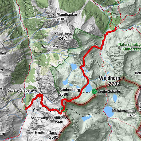
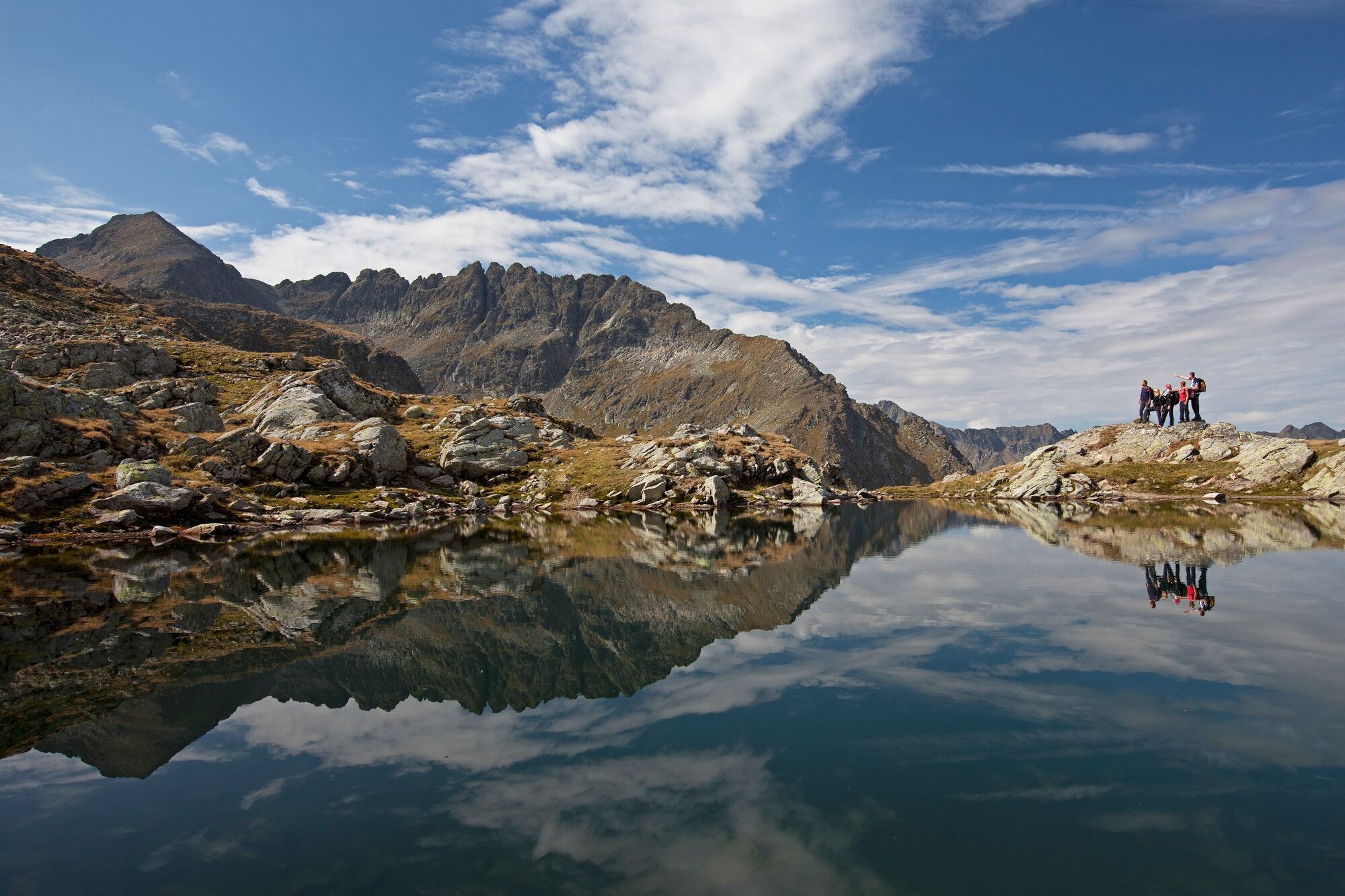
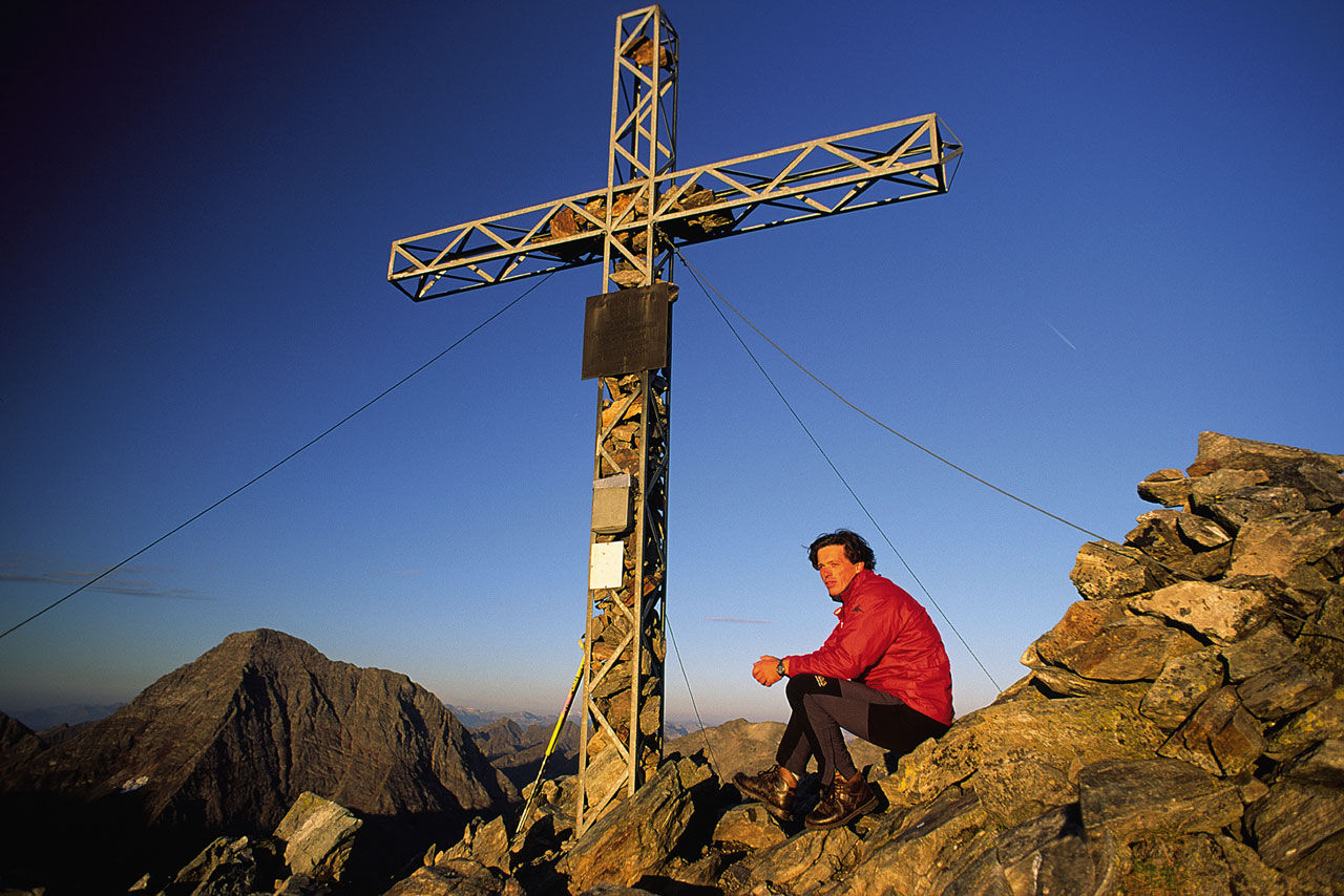
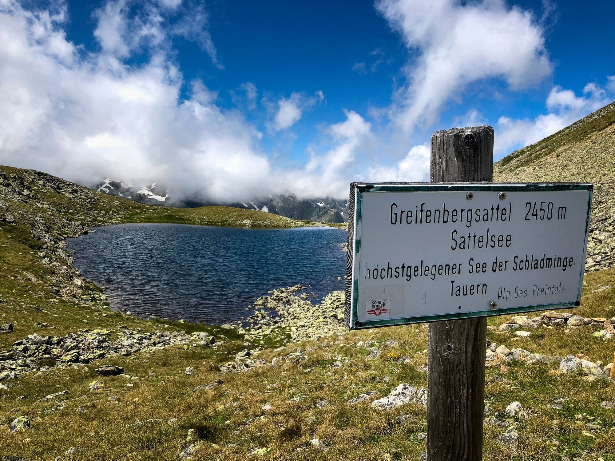
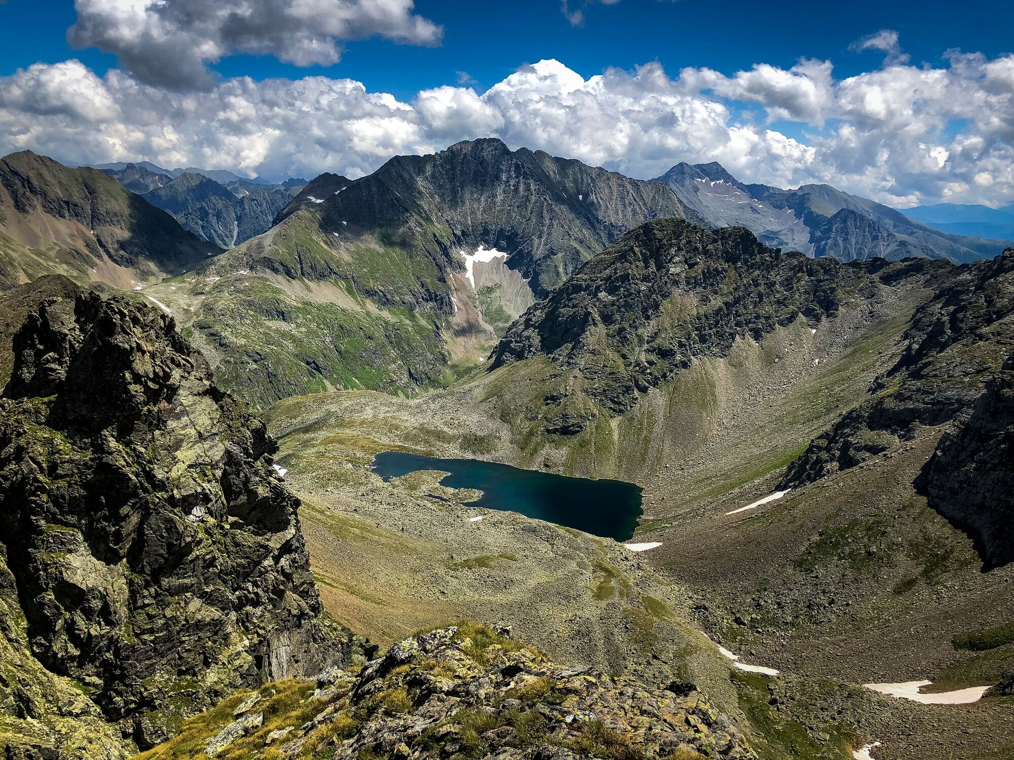
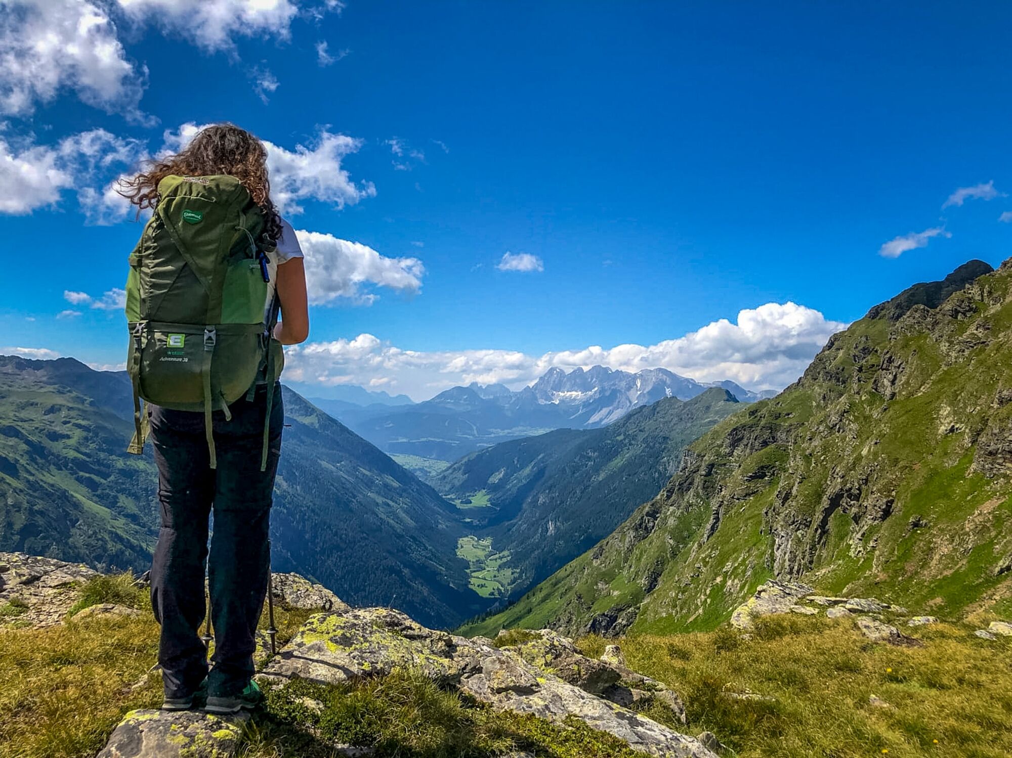
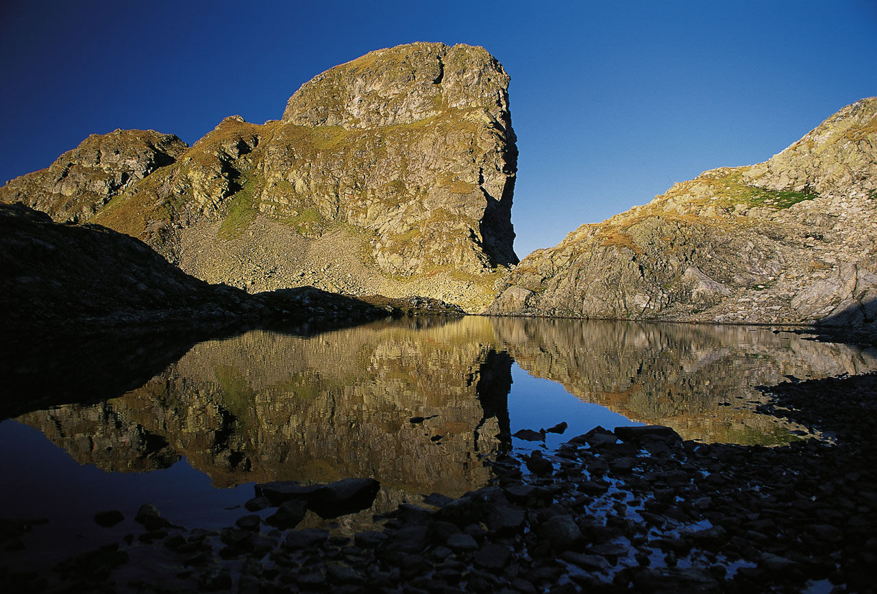
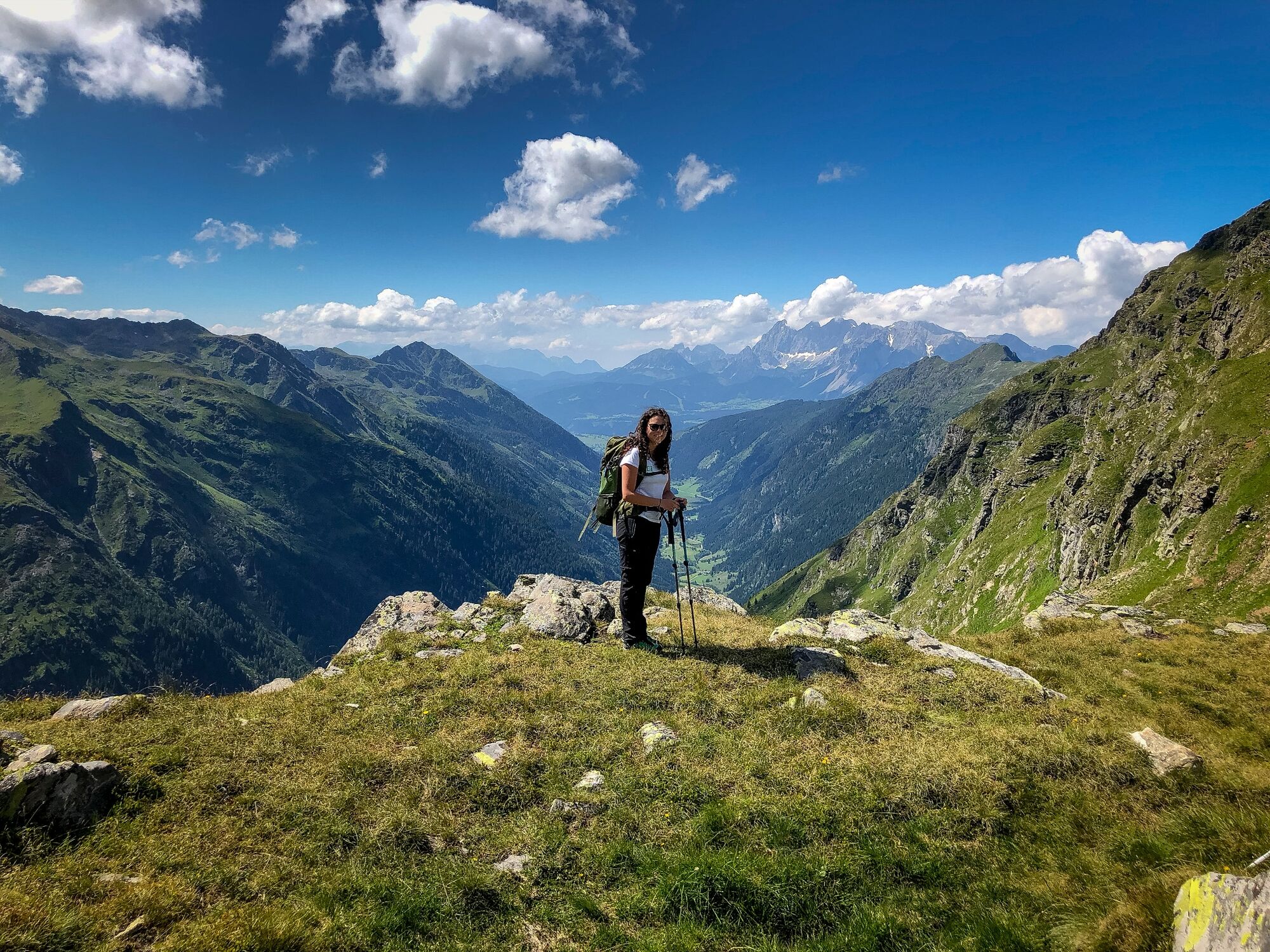
This stage of the hiking route "From glacier to wine" certainly leads us to one of the most beautiful and impressive places of the alpine mountain world, to the Klafferkesseln in the middle of the Schladminger Tauern. Surefootedness and a head for heights are necessary, especially in the area of the Greifenberg.
- Difficulté
-
difficile
- Évaluation
-
- Parcours
-
Greifenberg (2.618 m)3,5 kmKlafferturm (2.536 m)3,6 kmKlafferkessel4,2 kmReislingscharte (2.313 m)4,7 kmÄußeres Lämmerkar7,1 kmPreintalerhütte (1.657 m)8,0 kmWaldhornalm8,0 km
- Meilleure saison
-
janv.févr.marsavrilmaijuinjuil.aoûtsept.oct.nov.déc.
- Hauteur maximale
- 2.598 m
- Point de mire
-
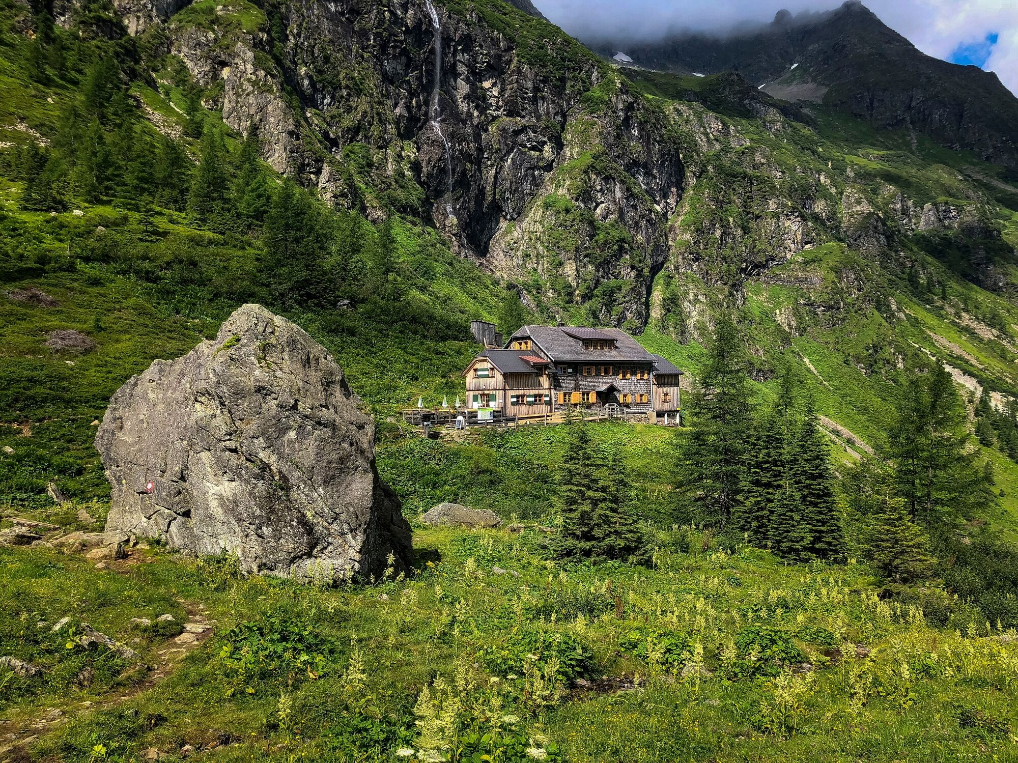
Preintaler Hütte
- Profil en hauteur
-


-

-
AuteurLa randonnée Stage 06 From Glacier to Wine South Route Gollinghütte - Preintalerhütte est utilisé par outdooractive.com fourni par.
GPS Downloads


Informations générales
Prometteur
Autres parcours dans les régions
-
Schladming - Dachstein
3015
-
Schladming - Rohrmoos
1493
-
Lessach
181


