Stage 02 From Glacier to Wine South Route Guttenberghaus - Rohrmoos

Randonnée

© (c) Steiermark Tourismus

© Steiermark - Das Grüne Herz Österreichs

© Erlebnisregion Schladming-Dachstein - Tourismusverband Schladming-Dachstein

© Steiermark Tourismus/bigshot.at - bigshot.at

© Steiermark Tourismus/Herbert Raffalt - Herbert Raffalt

© Steiermark Tourismus/Tom Lamm - Tom Lamm

© Erlebnisregion Schladming-Dachstein - Tourismusverband Schladming-Dachstein

© Erlebnisregion Schladming-Dachstein - Tourismusverband Schladming

© Steiermark Tourismus/Gery Wolf - Gery Wolf

- Brève description
-
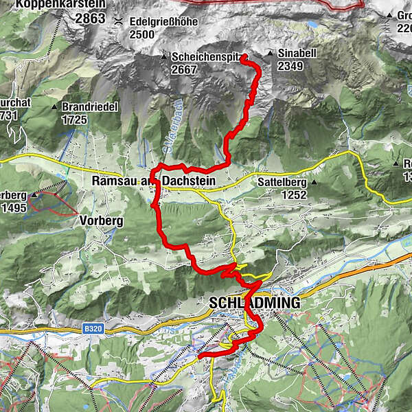
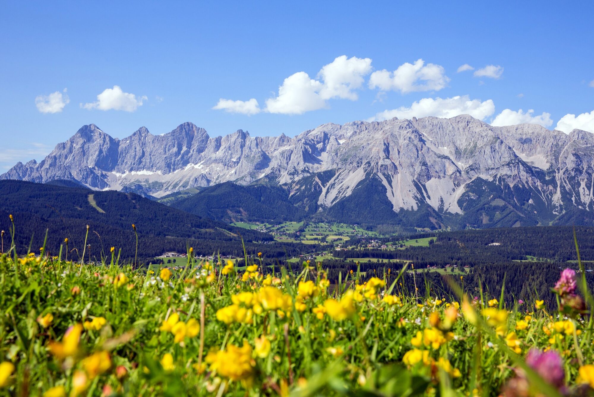
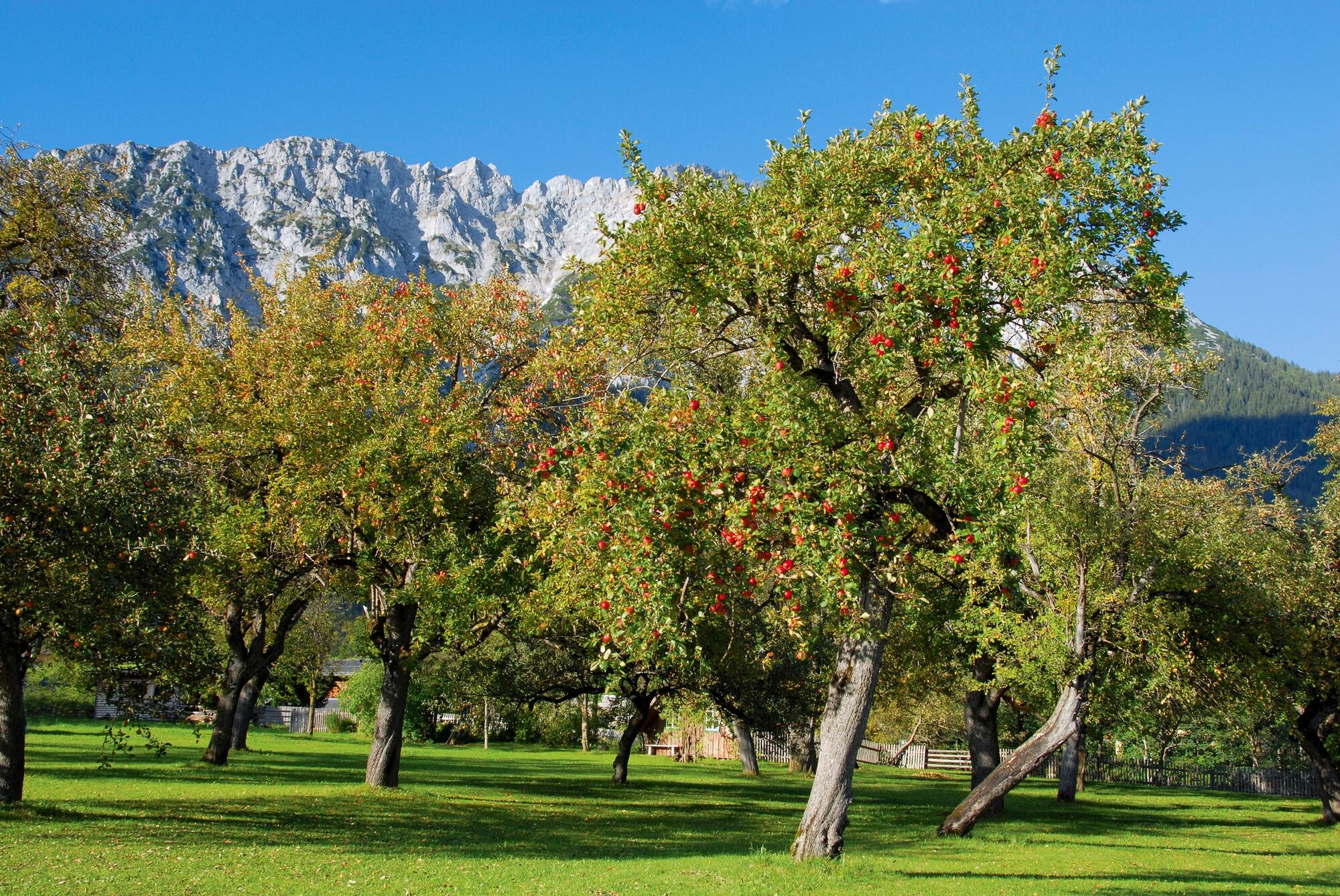
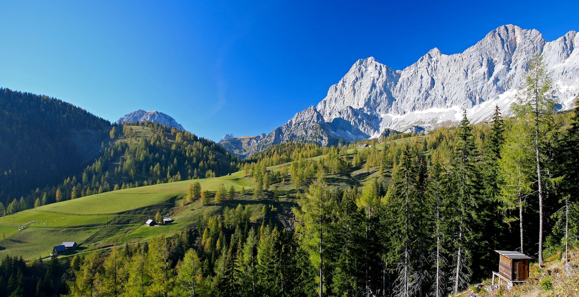
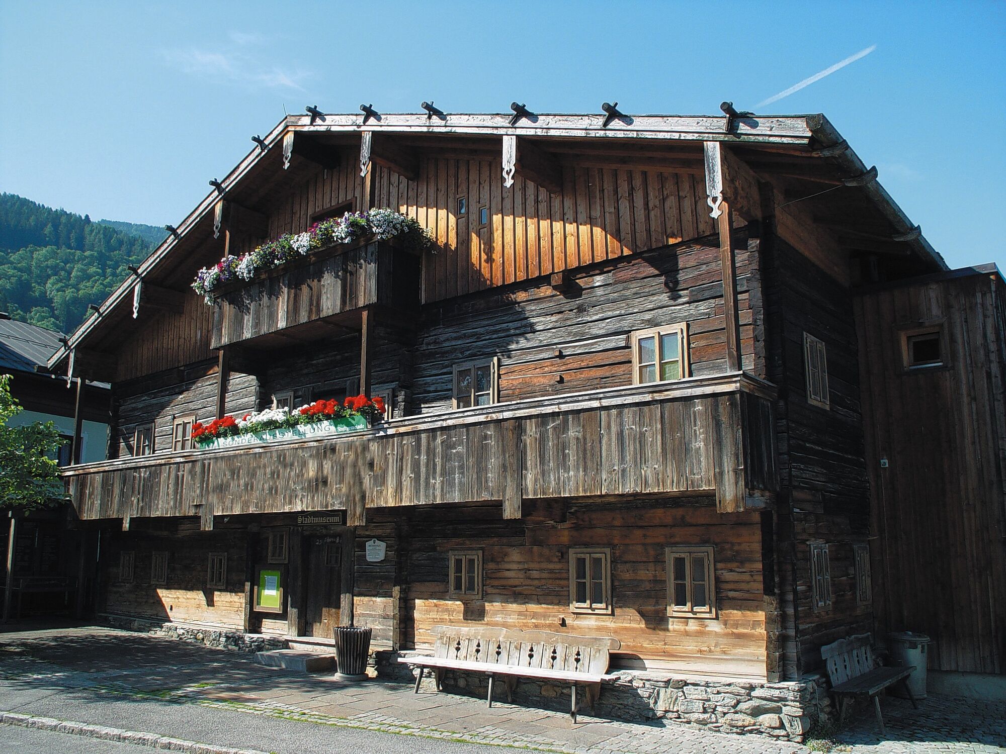
Three levels are hiked on this tour: first we move in the Dachstein massif, then on the plateau of Ramsau am Dachstein and before it goes again slightly uphill to Rohrmoos, we hike through Schladming. This stage of the hiking route "From Glacier to Wine", rich in views and scenery, thus leads us from the white limestone rock of the Dachstein to the green mountains of the Schladminger Tauern - or at least to the idyllically situated village of Rohrmoos at the foot of the Schladminger Tauern. In between: the historic town of Schladming, which boasts historic town walls and architecture as well as modern buildings and innovations.
- Difficulté
-
moyen
- Évaluation
-
- Parcours
-
Guttenberghaus0,0 kmFeisterer Hochkar0,7 kmFeisterer Tiefkar1,4 kmFischermauer (1.668 m)2,2 kmBio- & Wellnesshotel feistererhof4,7 kmRamsau am Dachstein7,4 kmEvang. Pfarrkirche7,4 kmWaldschenke7,8 kmFrienerstub’n10,2 kmSchladming (745 m)14,6 kmStadtpfarrkirche St. Achaz14,9 kmAnnakapelle15,0 kmEvang. Peter-und-Paul-Kirche15,2 kmRohrmoos17,5 km
- Meilleure saison
-
janv.févr.marsavrilmaijuinjuil.aoûtsept.oct.nov.déc.
- Hauteur maximale
- 2.133 m
- Point de mire
-
Rohrmoos
- Profil en hauteur
-


-

-
AuteurLa randonnée Stage 02 From Glacier to Wine South Route Guttenberghaus - Rohrmoos est utilisé par outdooractive.com fourni par.
GPS Downloads


Informations générales
Point de rassemblement
Culturel/Historiquement
Flore
Faune
Prometteur
Autres parcours dans les régions
-
Schladming - Dachstein
3000
-
Ramsau am Dachstein
1690
-
Ramsau am Dachstein
481


