Stage 03 From Glacier to Wine North Route Bad Gleichenberg - Klöch

Randonnée

© (c) Steiermark Tourismus

© Steiermark - Das Grüne Herz

© Erlebnisregion Thermen- & Vulkanland - Werner Krug

© Erlebnisregion Thermen- & Vulkanland - Werner Krug

© (c) Steiermark Tourismus
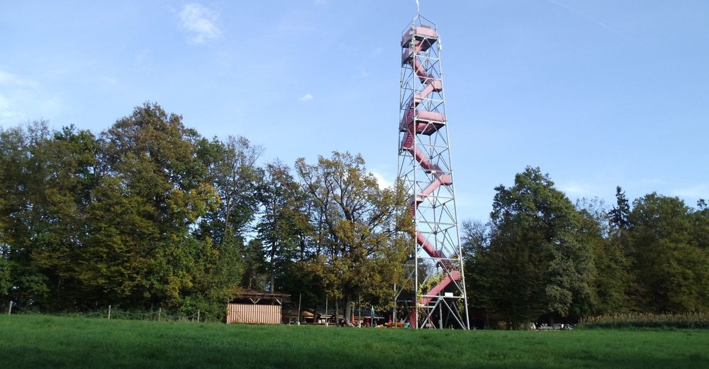
© Aussichtswarte Frutten-Gießelsdorf - Christian Contola

© (c) Steiermark Tourismus

© (c) Steiermark Tourismus/Manfred Polansky - Manfred Polansky

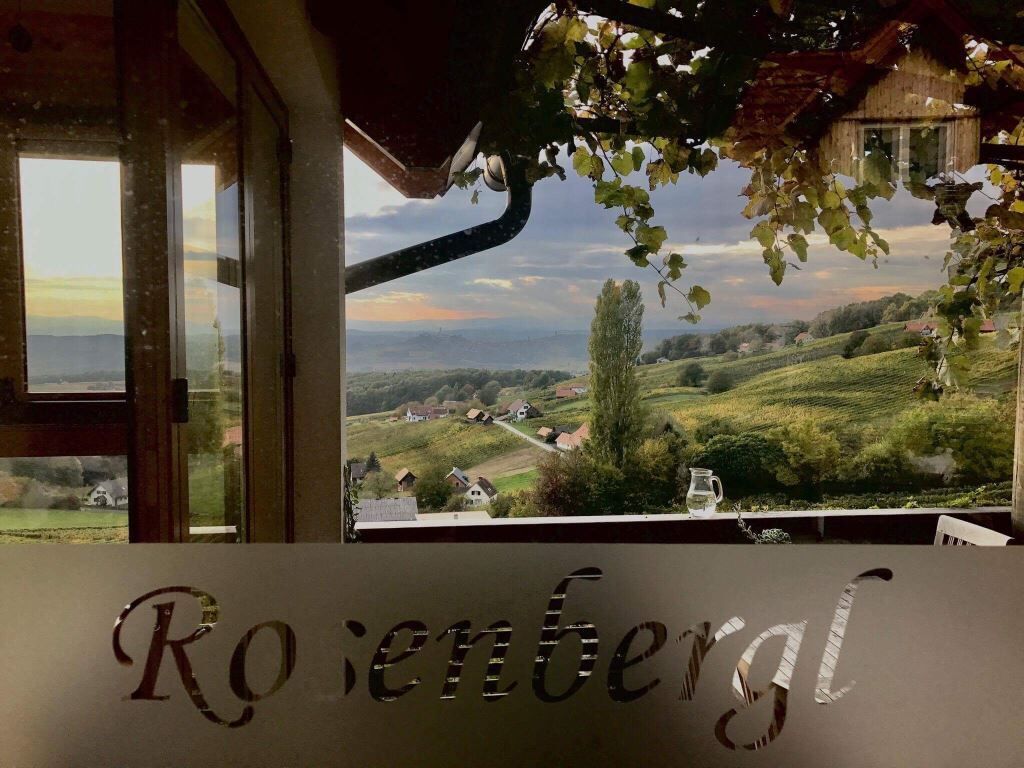
© Erlebnisregion Thermen- & Vulkanland - Marika Kirwasser/Rosenbergl

© Steiermark Tourismus/Manfred Polansky - Manfred Polansky

- Brève description
-
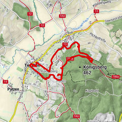
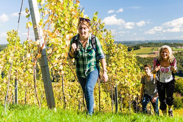
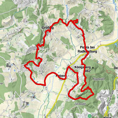
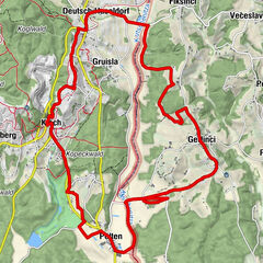
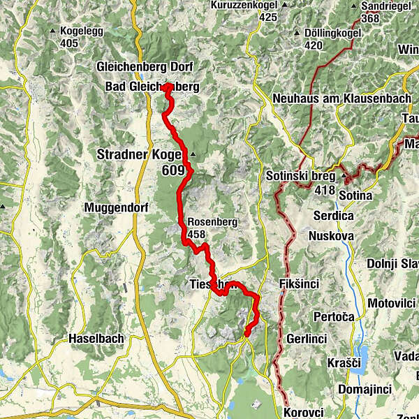
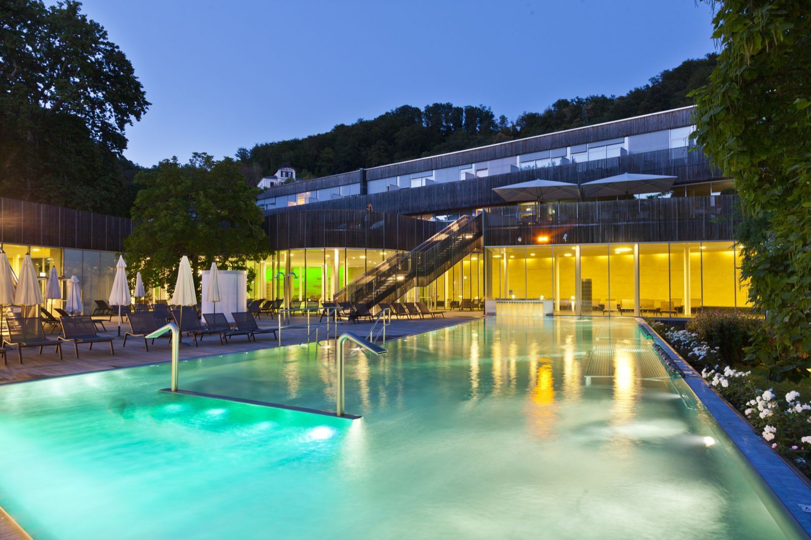
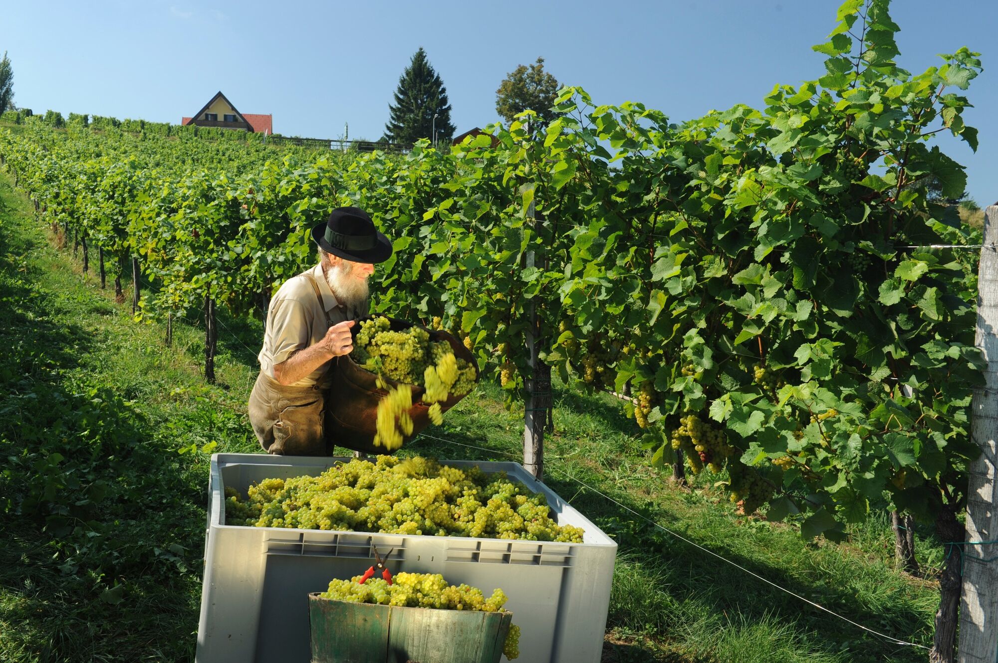
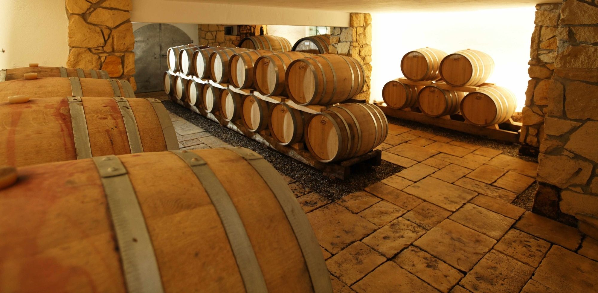
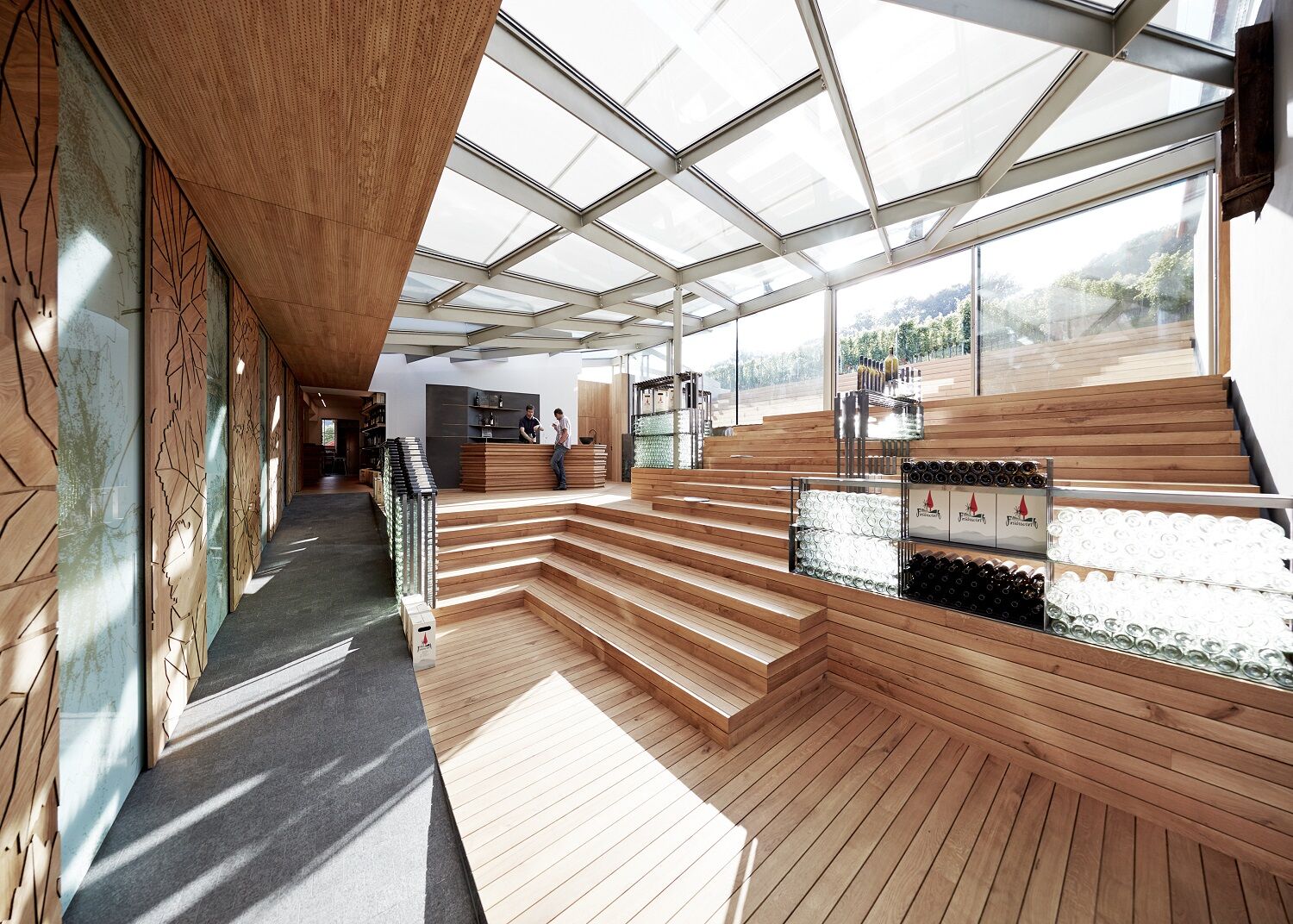
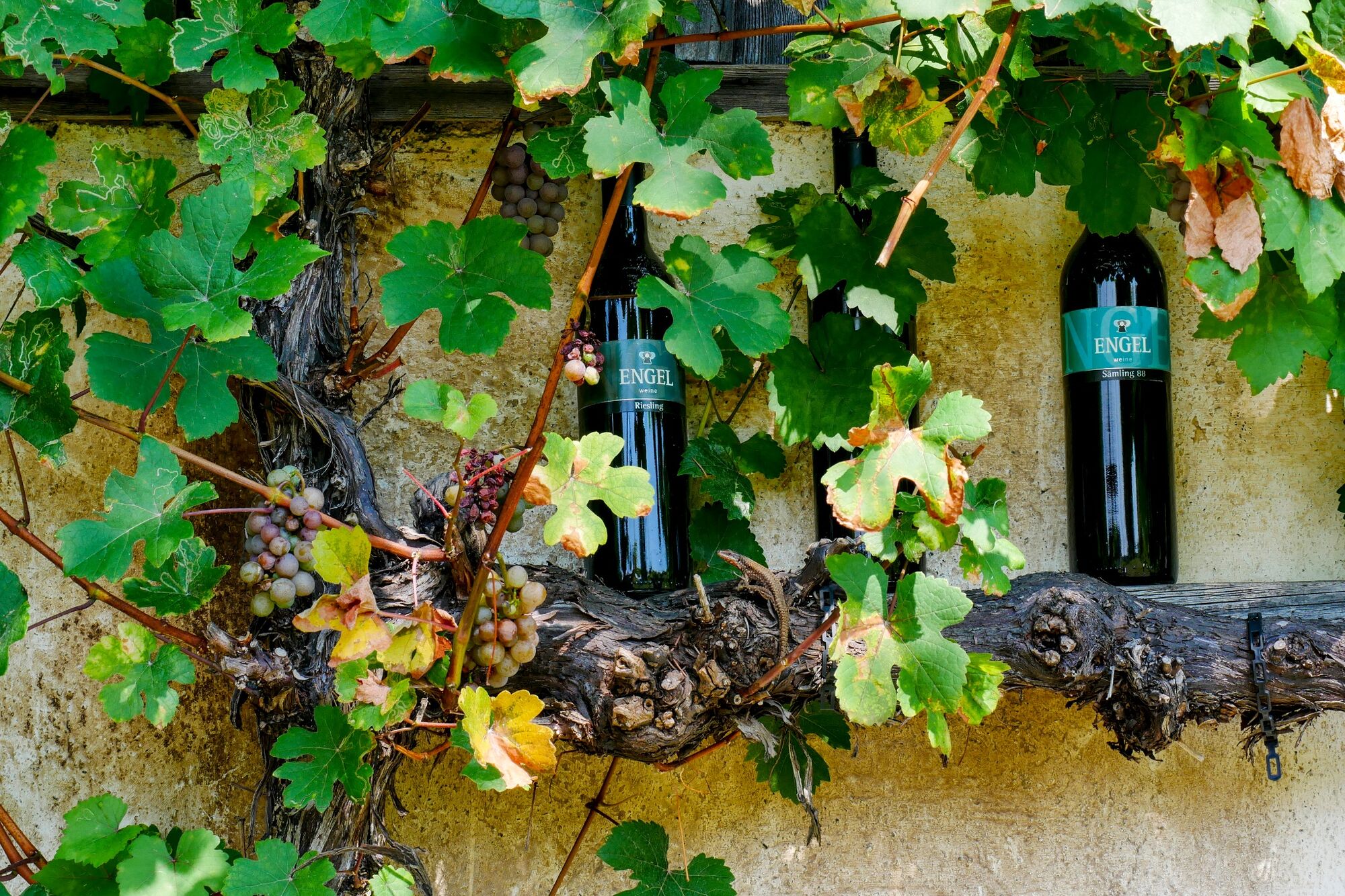
This stage of the hiking route "From Glacier to Wine" leads us through the heart of the Thermen- & Vulkanland Styria. The starting point is the traditional spa town of Bad Gleichenberg, which impresses with the modern spa house, which also calls itself "Therme der Ruhe", and the extensive range of hiking opportunities. Through forests and past vineyards and fields, the trail leads to the well-known wine-growing village of Klöch, which is also the namesake of the Klöcher Wine Route, one of 8 wine routes in Styria.
- Difficulté
-
facile
- Évaluation
-
- Parcours
-
Steinbach2,2 kmRaststation Aussichtswarte7,8 kmRosenberg (458 m)9,0 kmBuschenschank Neubauer9,4 kmHeurigen Rosenbergl9,5 kmHopfenberg9,9 kmGrößing11,2 kmTieschen14,5 kmPfarrkirche Tieschen14,6 kmBuschenschank Urba's Keller14,6 kmRestaurant Kolleritsch14,6 kmKönigsberg15,0 kmTratten15,4 kmPichla bei Radkersburg15,9 kmDeutsch Haseldorf17,6 kmKratzer17,8 kmHochwarth18,8 kmBuschenschank Gießauf-Nell19,0 kmKlöch20,0 kmRestaurant Klöcherhof20,0 km
- Meilleure saison
-
janv.févr.marsavrilmaijuinjuil.aoûtsept.oct.nov.déc.
- Hauteur maximale
- 558 m
- Point de mire
-
Klöch
- Profil en hauteur
-


-

-
AuteurLa randonnée Stage 03 From Glacier to Wine North Route Bad Gleichenberg - Klöch est utilisé par outdooractive.com fourni par.
GPS Downloads


Informations générales
Point de rassemblement
Culturel/Historiquement
Flore
Faune
Prometteur
Autres parcours dans les régions
-
Oststeiermark
2126
-
Region Bad Radkersburg
217
-
St. Anna am Aigen
131