Stage 31 From Glacier to Wine North Route Unterlamm - Riegersburg

Randonnée

© Steiermark Tourismus/bigshot.at - bigshot.at

© Steiermark - Das Grüne Herz

© TV Thermen- & Vulkanland - Gemeinde Unterlamm

© Weinbau Gölles - Christian Contola

© Manufaktur Gölles

© (c) Steiermark Tourismus/Manfred Polansky - Manfred Polansky

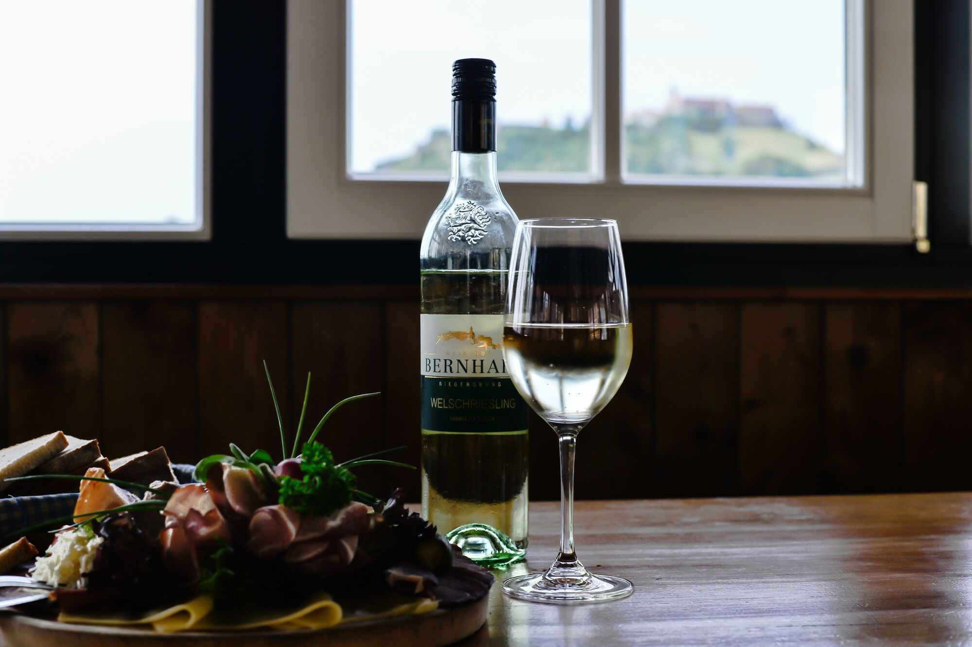
© TV Thermen- & Vulkanland - Wein:gut Buschenschank Bernhart

- Brève description
-
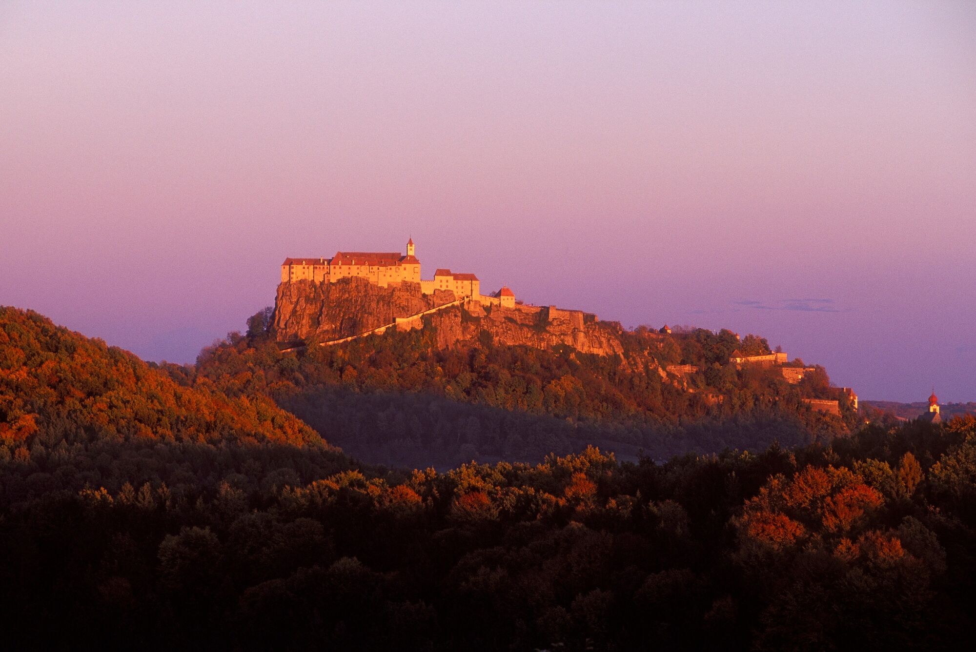
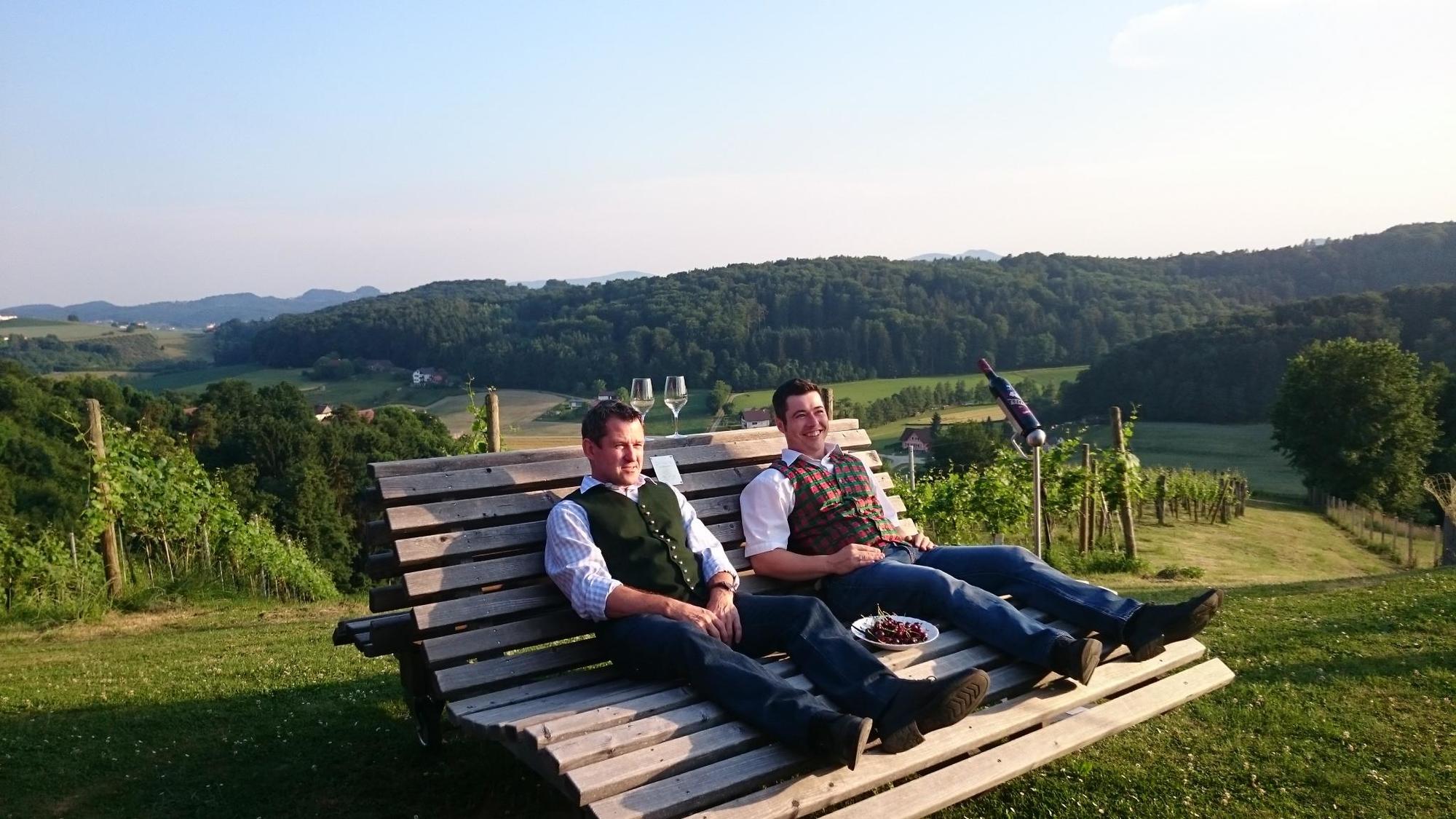
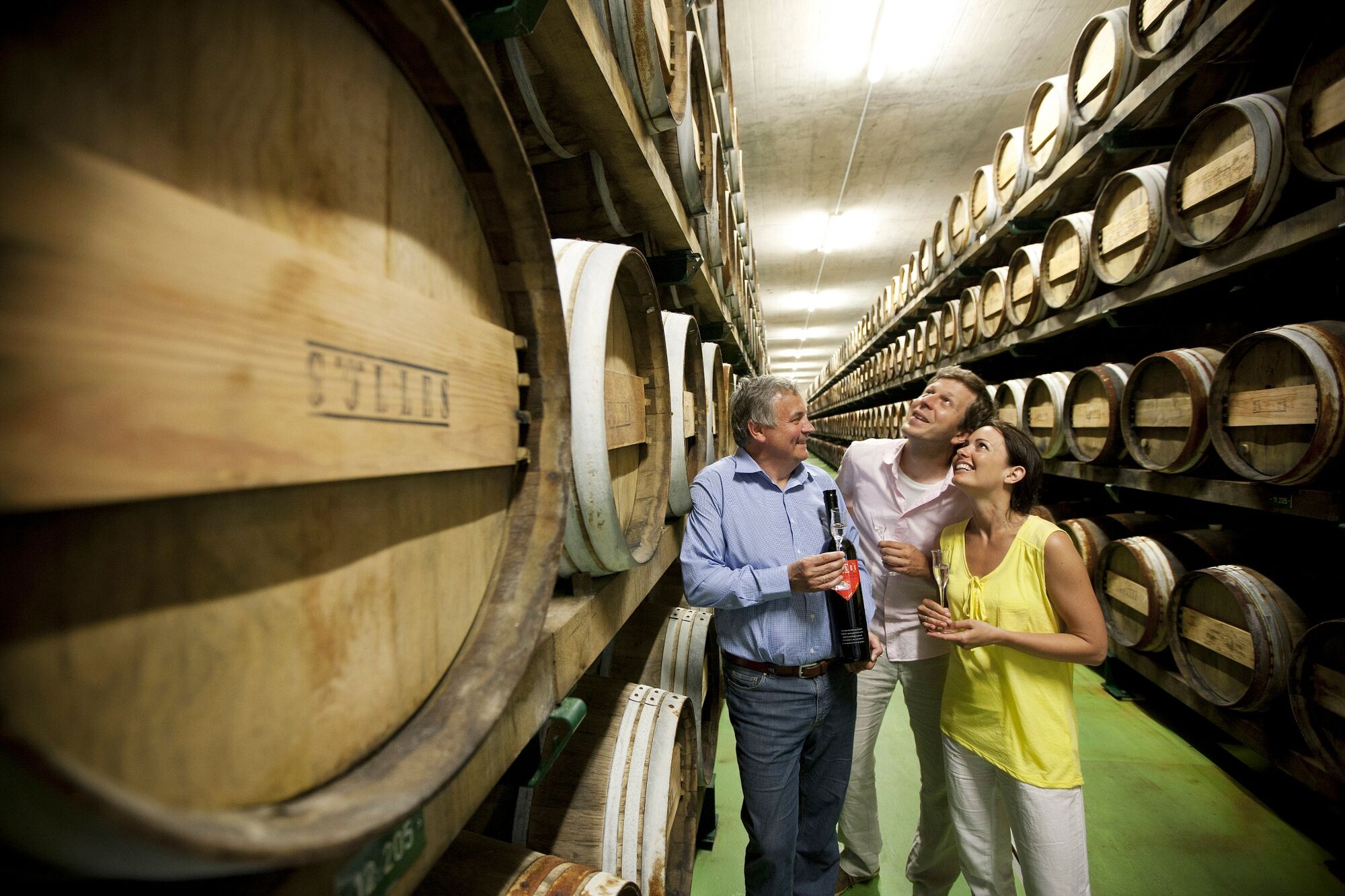
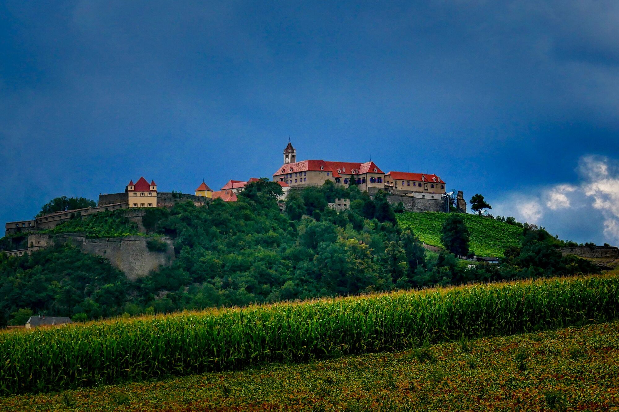
From Unterlamm, this tour takes us through the hilly landscape of the Thermen- & Vulkanland Styria, whose fertile soil is the source of almost inexhaustible outstanding culinary products and delicacies. Wonderful viewpoints of this landscape alternate with small villages like Hatzendorf, before we end up at the foot of the Riegersburg in the town of the same name.
- Difficulté
-
facile
- Évaluation
-
- Parcours
-
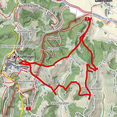
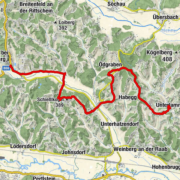
Gasthaus Riegler0,0 kmUnterlamm0,1 kmEdlich1,3 kmJosefskapelle3,3 kmSetzberg3,4 kmÖdgraben5,7 kmEderberg6,5 kmGlatzberg7,2 kmRaaberberg7,6 kmBohnerberg8,0 kmMalerwinkl8,8 kmHatzendorf9,2 kmGasthaus Kraxner9,4 kmPfarrkirche hll. Peter und Paul9,6 kmKirchenegg10,2 kmSchießlkogel (389 m)11,8 kmStang bei Hatzendorf13,4 kmPöllhof16,5 kmRiegersburg17,5 km
- Meilleure saison
-
janv.févr.marsavrilmaijuinjuil.aoûtsept.oct.nov.déc.
- Hauteur maximale
- 379 m
- Point de mire
-
Riegersburg
- Profil en hauteur
-

-

-
AuteurLa randonnée Stage 31 From Glacier to Wine North Route Unterlamm - Riegersburg est utilisé par outdooractive.com fourni par.
GPS Downloads


Informations générales
Point de rassemblement
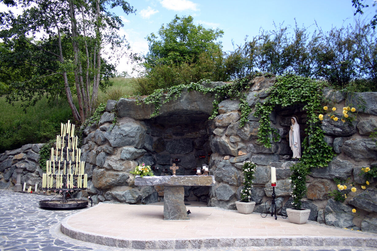
Culturel/Historiquement
Flore
Prometteur
Autres parcours dans les régions
-
Thermen- & Vulkanland
1324
-
Loipersdorf bei Fürstenfeld
463
-
Söchau
134